Wetumka is a city in northern Hughes County, Oklahoma, United States. The population was 1,282 at the 2010 census, a decline of 11.7 percent from the figure of 1,451 recorded in 2000. First settled by the Muscogee Creek after removal in the 1830s, they named it for their ancestral town of Wetumpka, in Alabama. Wetumka is a Muskogee language word meaning “rumbling waters.”
In the 21st century, it is the headquarters for two federally recognized tribes, the Alabama-Quassarte Tribal Town and the Kialegee Tribal Town. The town holds Sucker Day annually, on the last Saturday in September.
| Name: | Wetumka city |
|---|---|
| LSAD Code: | 25 |
| LSAD Description: | city (suffix) |
| State: | Oklahoma |
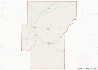
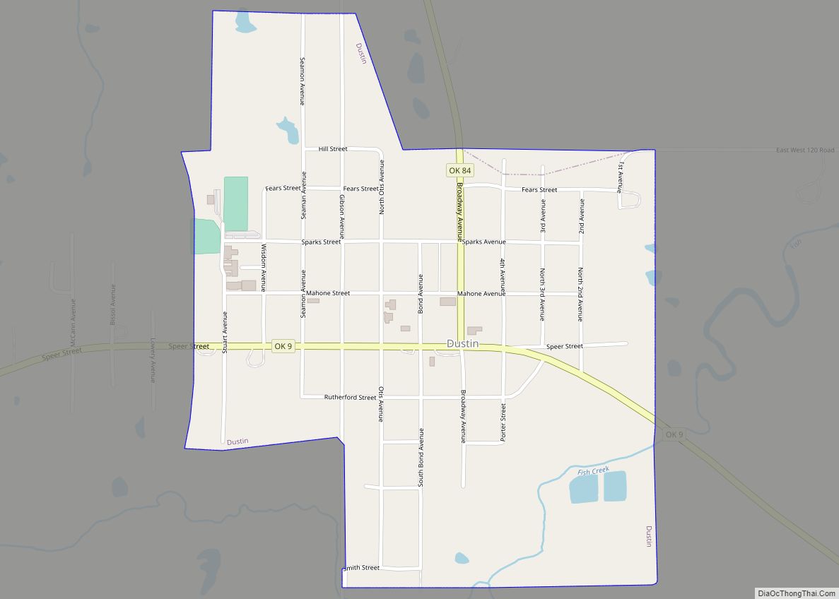
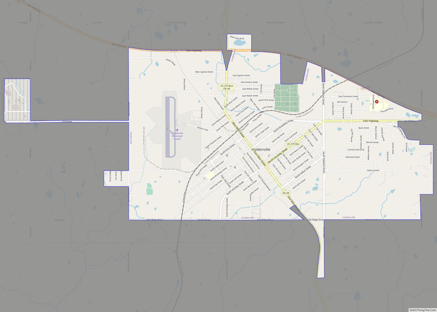
| County: | Hughes County |
| Elevation: | 764 ft (233 m) |
| Total Area: | 1.91 sq mi (4.94 km²) |
| Land Area: | 1.88 sq mi (4.88 km²) |
| Water Area: | 0.02 sq mi (0.06 km²) |
| Total Population: | 1,135 |
| Population Density: | 602.44/sq mi (232.55/km²) |
| ZIP code: | 74883 |
| FIPS code: | 4080500 |
| GNISfeature ID: | 1099652 |
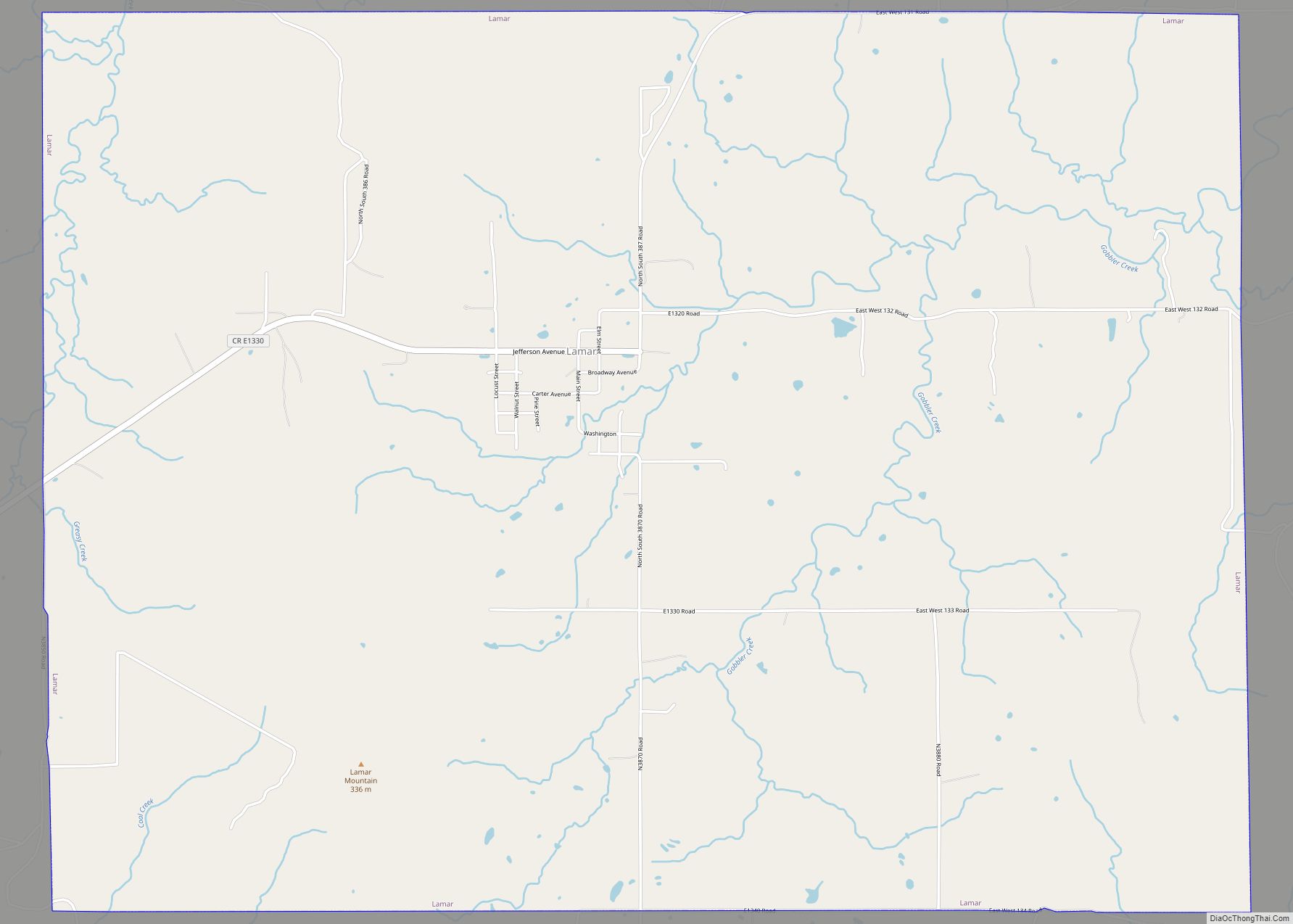
Online Interactive Map
Click on ![]() to view map in "full screen" mode.
to view map in "full screen" mode.
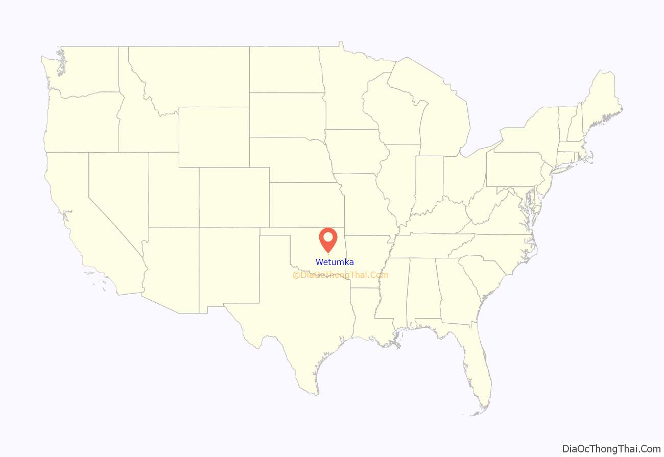
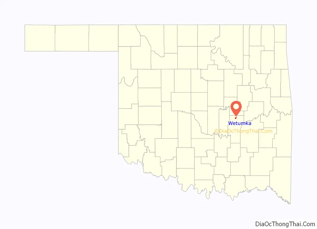
Wetumka location map. Where is Wetumka city?
History
The St. Louis, Oklahoma and Southern Railway built a line from Sapulpa, Oklahoma through Wetumka to the Red River in 1900-1901. Wetumka prospered as a major shipping point for cotton, corn, pecans, and livestock produced by farmers in the surrounding area. By 1909, the community had three banks, two cotton gins, three blacksmith shops, two liveries, and a tin shop. Early newspapers included the Wetumka News-Herald, the Wetumka News, the Wetumka Herald, and the Wetumka Gazette. A two-story building constructed in 1912 housed the city hall and the Masonic Lodge.
By 1918, four cotton gins, a mill and elevator, a wagonyard, an ice company, and a water and light company had joined the list of businesses open in Wetumka. The 1920 census reported that the population had jumped from 231 in 1910 to 1422 in 1920. Growth would continue through 1950. Since then a long-term decline has lasted through the 2010 census as agriculture has needed fewer workers.
The Wetumka oil field opened in 1919. A crowd of oil workers poured into town. The Encyclopedia of Oklahoma History and Culture estimates the number of temporary workers brought the total city population to about four thousand. However, the 1920 census does not support this number. There was sufficient activity to cause the railroad to build a large freight warehouse in April 1925. A three-story hotel opened in June of that year. With the booming economy, the city paved the streets and added three rooms to the school building.
Perhaps the most significant sign of growth was that the citizens petitioned Governor Jack C. Walton to designate Wetumka as a city of the “first class”. Walton signed the proclamation on May 21, 1923, and the city held an election on June 26, 1925 for a mayor, a city marshal, and council members.
By 1930, oil and agriculture were the dominant employers in Wetumka’s economy, with five cotton gins and twelve oil companies operating. The city had added nine churches, a park, a lake, and a junior college. Railey Manufacturing Company provided employment to workers who crafted wood flooring and doors. Municipal plants provided water and electricity, Oklahoma Natural Gas supplied gas, and Southwestern State Telephone furnished phone service. But in the 1930s, cotton production began a major decline.
During World War II, the Army operated a prisoner-of-war camp for German prisoners. This closed in 1945 after the end of the war. The city-owned Wetumka General Hospital opened in March 1960. In March 1973 a municipal complex opened to replace city hall, which had been destroyed by fire on November 13, 1971. By the 1970s all cotton gins were defunct.
Wetumka Road Map

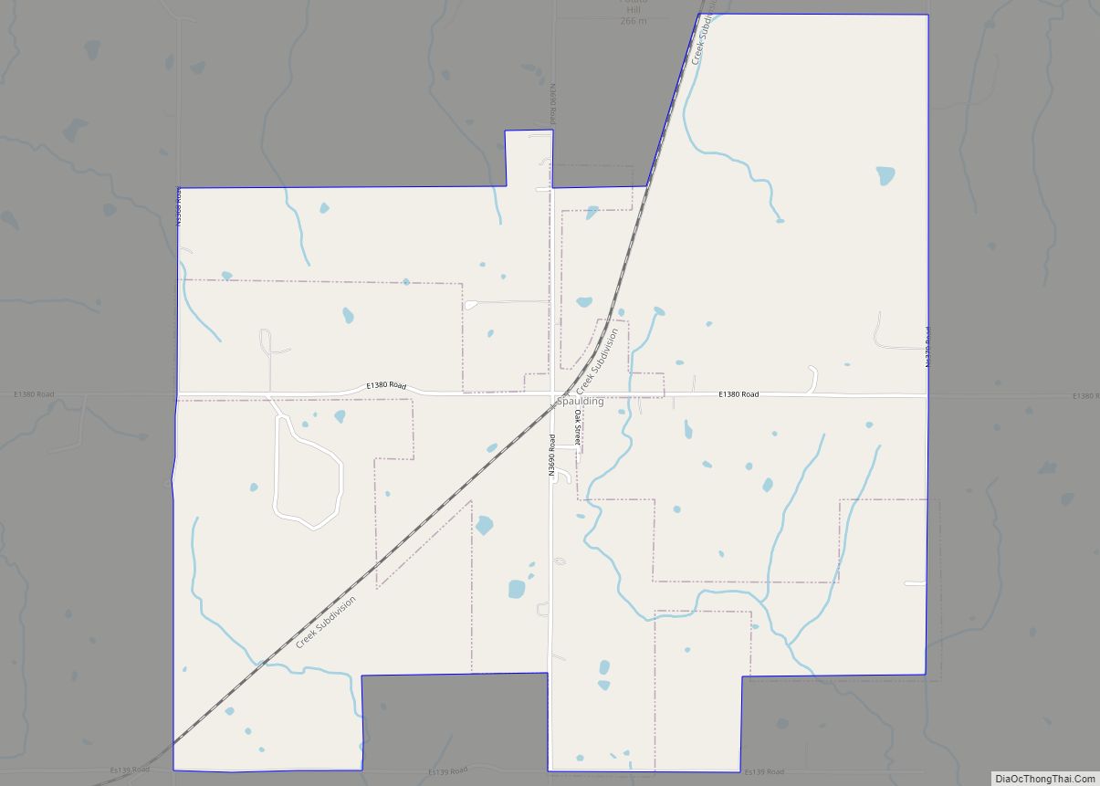
Wetumka city Satellite Map

Geography
Wetumka is located at 35°14′20″N 96°14′23″W / 35.23889°N 96.23972°W / 35.23889; -96.23972 (35.238849, -96.239851). It is approximately 15 miles (24 km) northeast of Holdenville, the county seat.
According to the United States Census Bureau, the city has a total area of 1.9 square miles (4.9 km), of which 1.9 square miles (4.9 km) is land and 20% is water.
See also
Map of Oklahoma State and its subdivision:- Adair
- Alfalfa
- Atoka
- Beaver
- Beckham
- Blaine
- Bryan
- Caddo
- Canadian
- Carter
- Cherokee
- Choctaw
- Cimarron
- Cleveland
- Coal
- Comanche
- Cotton
- Craig
- Creek
- Custer
- Delaware
- Dewey
- Ellis
- Garfield
- Garvin
- Grady
- Grant
- Greer
- Harmon
- Harper
- Haskell
- Hughes
- Jackson
- Jefferson
- Johnston
- Kay
- Kingfisher
- Kiowa
- Latimer
- Le Flore
- Lincoln
- Logan
- Love
- Major
- Marshall
- Mayes
- McClain
- McCurtain
- McIntosh
- Murray
- Muskogee
- Noble
- Nowata
- Okfuskee
- Oklahoma
- Okmulgee
- Osage
- Ottawa
- Pawnee
- Payne
- Pittsburg
- Pontotoc
- Pottawatomie
- Pushmataha
- Roger Mills
- Rogers
- Seminole
- Sequoyah
- Stephens
- Texas
- Tillman
- Tulsa
- Wagoner
- Washington
- Washita
- Woods
- Woodward
- Alabama
- Alaska
- Arizona
- Arkansas
- California
- Colorado
- Connecticut
- Delaware
- District of Columbia
- Florida
- Georgia
- Hawaii
- Idaho
- Illinois
- Indiana
- Iowa
- Kansas
- Kentucky
- Louisiana
- Maine
- Maryland
- Massachusetts
- Michigan
- Minnesota
- Mississippi
- Missouri
- Montana
- Nebraska
- Nevada
- New Hampshire
- New Jersey
- New Mexico
- New York
- North Carolina
- North Dakota
- Ohio
- Oklahoma
- Oregon
- Pennsylvania
- Rhode Island
- South Carolina
- South Dakota
- Tennessee
- Texas
- Utah
- Vermont
- Virginia
- Washington
- West Virginia
- Wisconsin
- Wyoming