Aurora is a city in Marion County, Oregon, United States and is home to the nation’s largest not-for-profit air ambulance company, Life Flight Network. Before being incorporated as a city, it was the location of the Aurora Colony, a religious commune founded in 1856 by William Keil and John E. Schmit. William named the settlement after his daughter. The population was 1,133 at the 2020 Census. It is part of the Salem Metropolitan Statistical Area.
| Name: | Aurora city |
|---|---|
| LSAD Code: | 25 |
| LSAD Description: | city (suffix) |
| State: | Oregon |
| County: | Marion County |
| Incorporated: | 1893 |
| Elevation: | 136 ft (41.45 m) |
| Total Area: | 0.48 sq mi (1.25 km²) |
| Land Area: | 0.48 sq mi (1.25 km²) |
| Water Area: | 0.00 sq mi (0.00 km²) |
| Total Population: | 1,133 |
| Population Density: | 2,340.91/sq mi (903.15/km²) |
| ZIP code: | 97002 |
| Area code: | 503 |
| FIPS code: | 4103300 |
| GNISfeature ID: | 1117094 |
| Website: | www.ci.aurora.or.us |
Online Interactive Map
Click on ![]() to view map in "full screen" mode.
to view map in "full screen" mode.
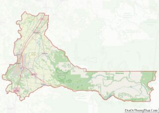
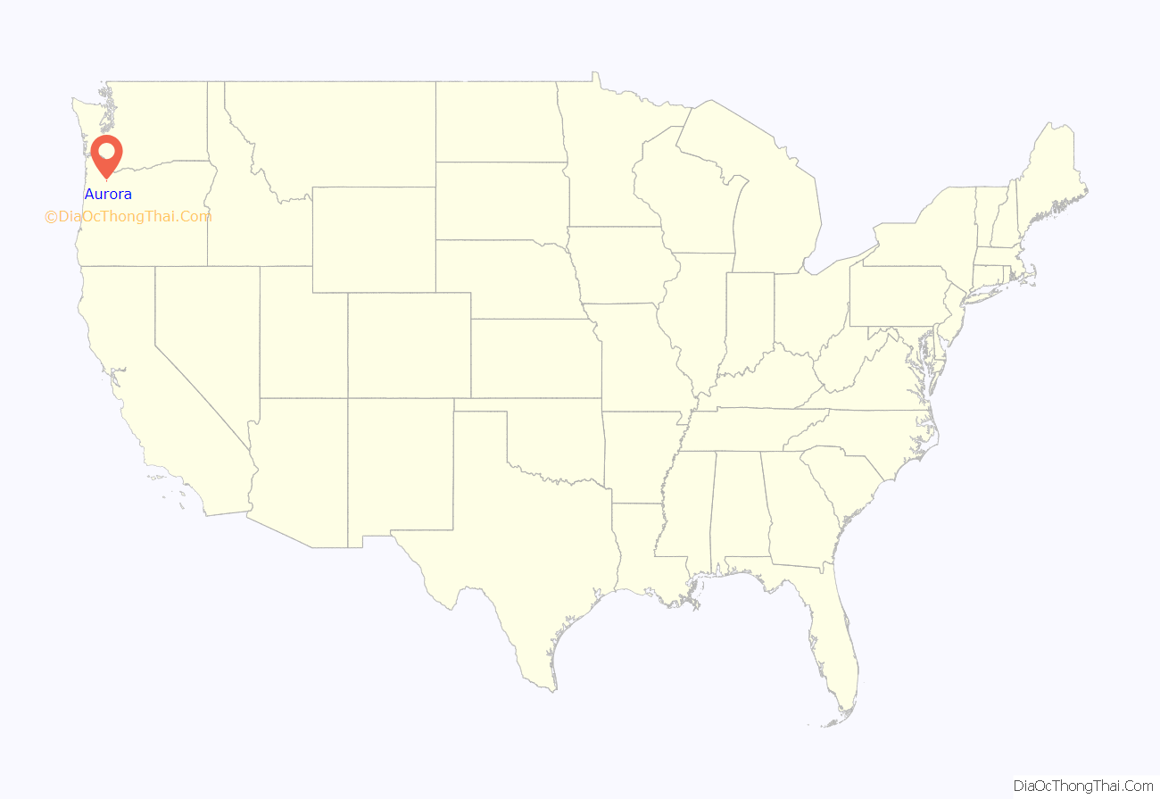
Aurora location map. Where is Aurora city?
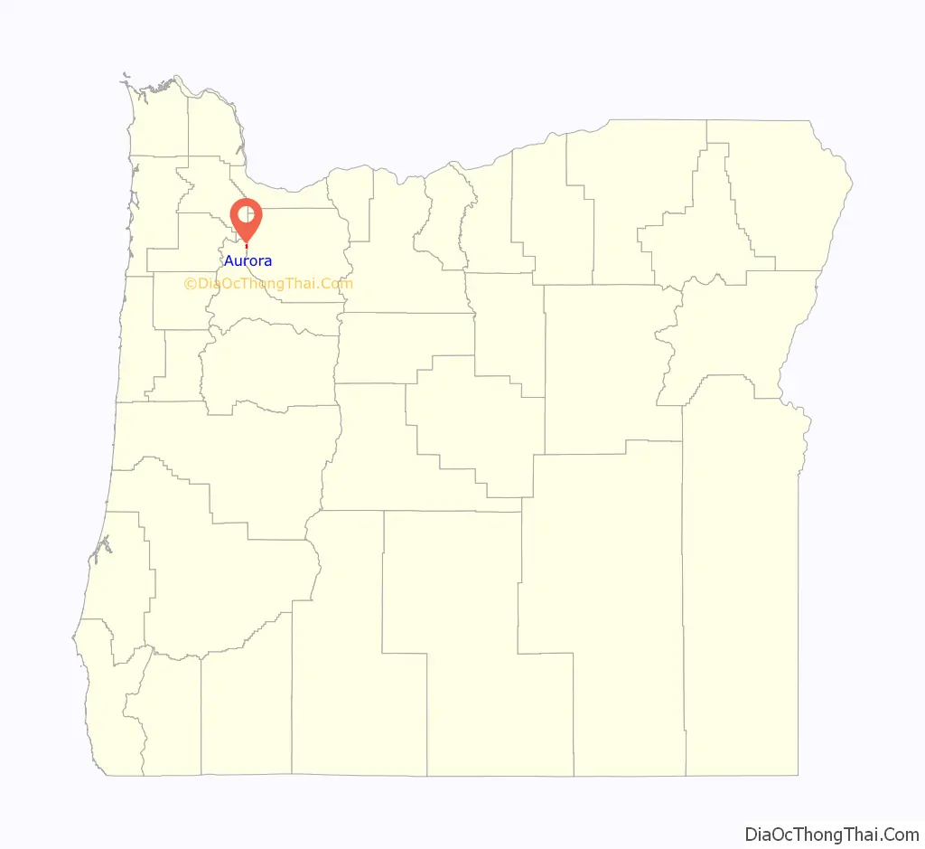
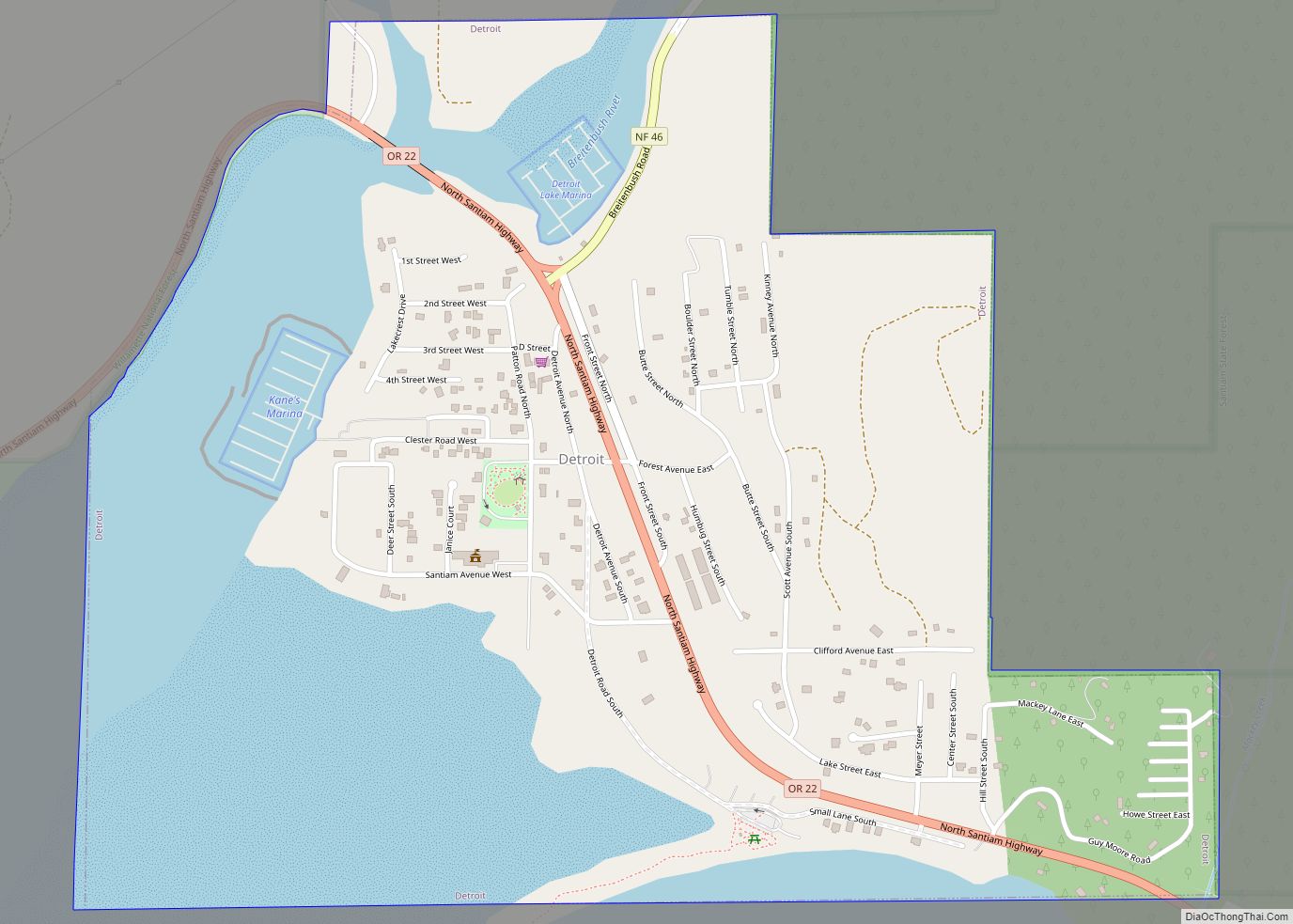
Aurora Road Map
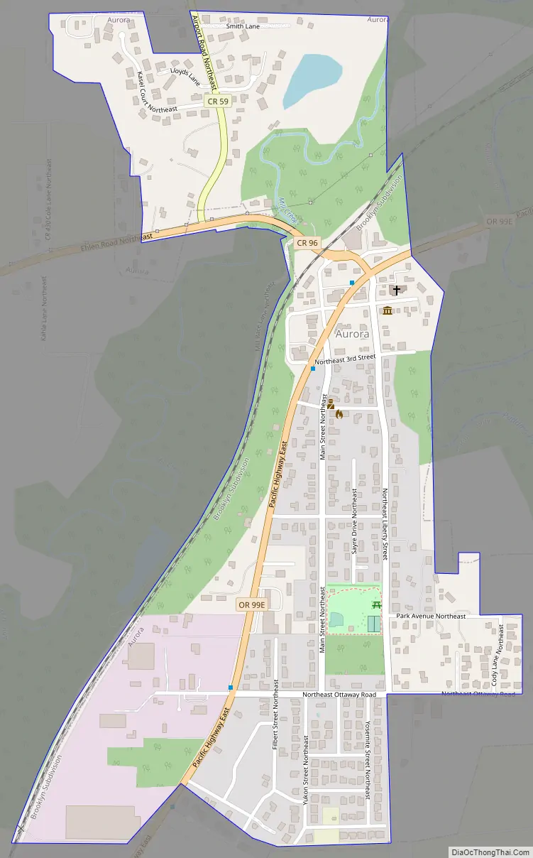
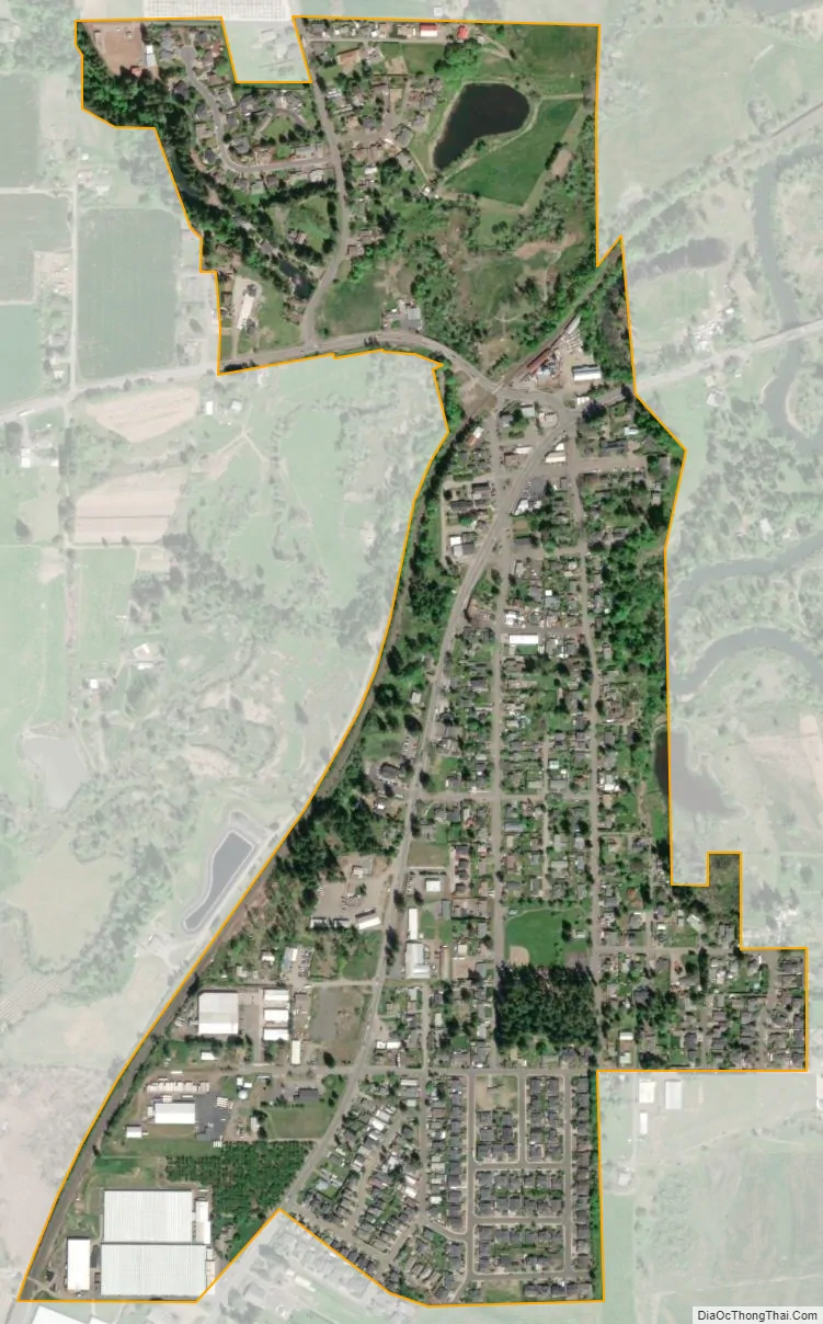
Aurora city Satellite Map
Geography
According to the United States Census Bureau, the city has a total area of 0.48 square miles (1.24 km), all of it land.
The Pudding River flows northward, just east of Aurora.
Climate
This region experiences warm (but not hot) and dry summers, with no average monthly temperatures above 71.6 °F (22.0 °C). According to the Köppen Climate Classification system, Aurora has a warm-summer Mediterranean climate, abbreviated “Csb” on climate maps.
See also
Map of Oregon State and its subdivision: Map of other states:- Alabama
- Alaska
- Arizona
- Arkansas
- California
- Colorado
- Connecticut
- Delaware
- District of Columbia
- Florida
- Georgia
- Hawaii
- Idaho
- Illinois
- Indiana
- Iowa
- Kansas
- Kentucky
- Louisiana
- Maine
- Maryland
- Massachusetts
- Michigan
- Minnesota
- Mississippi
- Missouri
- Montana
- Nebraska
- Nevada
- New Hampshire
- New Jersey
- New Mexico
- New York
- North Carolina
- North Dakota
- Ohio
- Oklahoma
- Oregon
- Pennsylvania
- Rhode Island
- South Carolina
- South Dakota
- Tennessee
- Texas
- Utah
- Vermont
- Virginia
- Washington
- West Virginia
- Wisconsin
- Wyoming