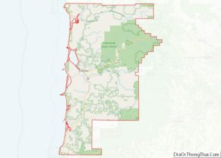
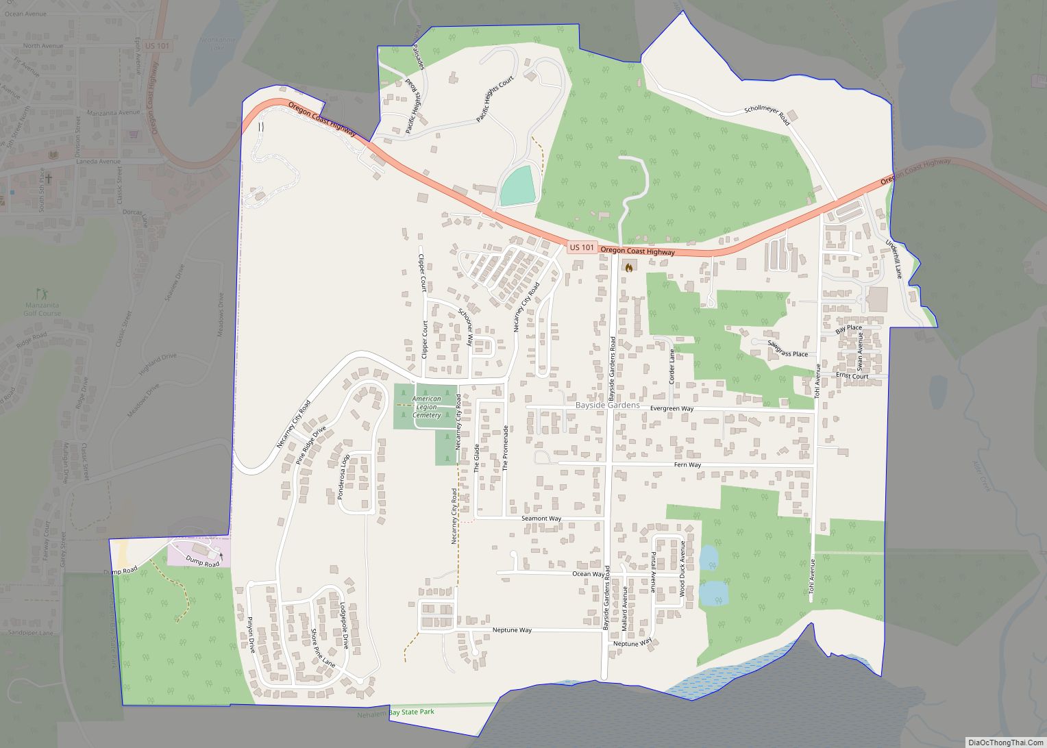
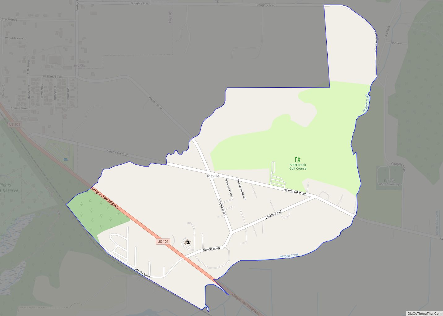
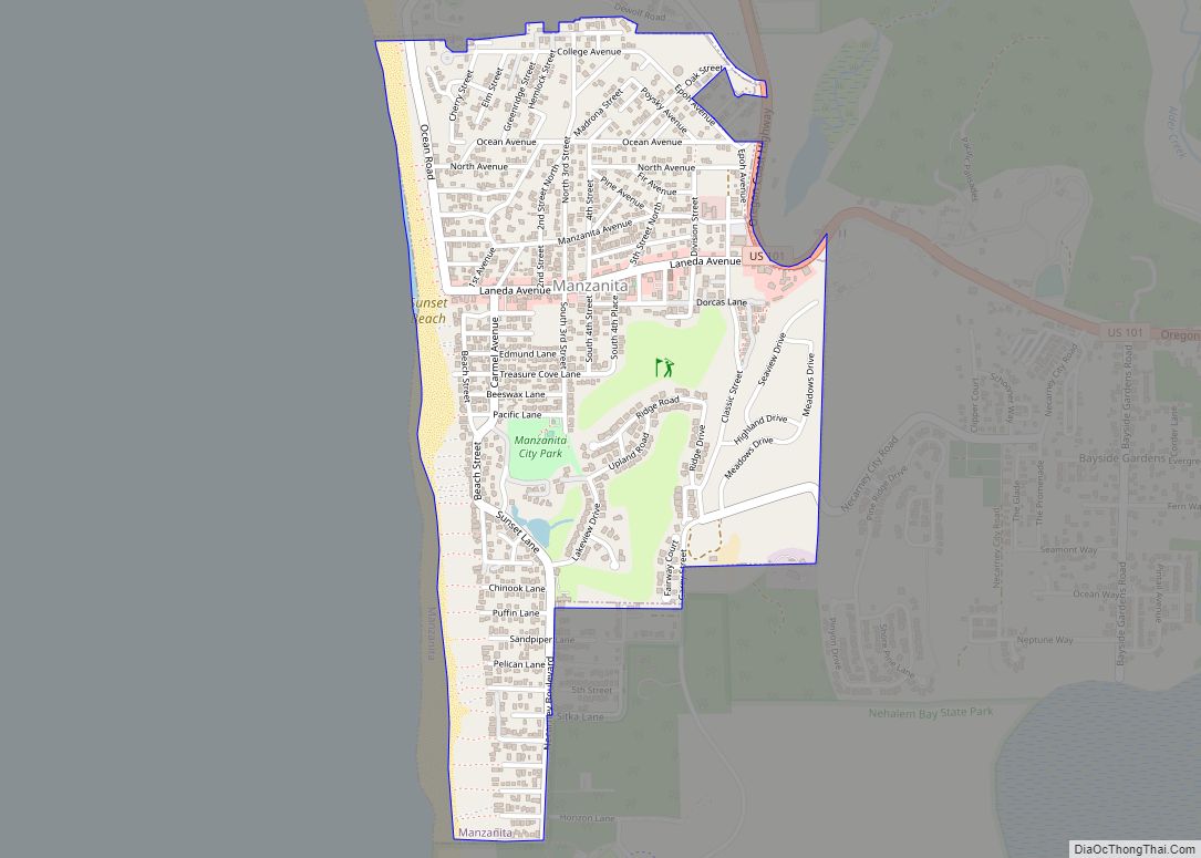
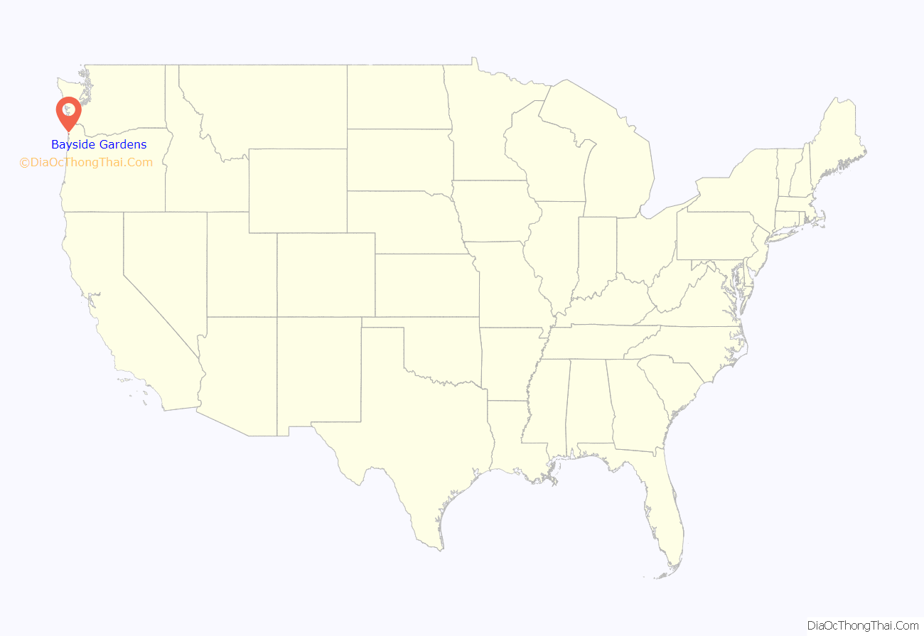
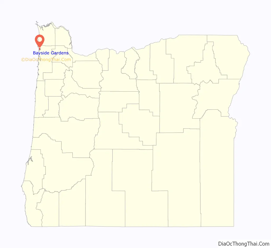
Bayside Gardens is an unincorporated community in Tillamook County, Oregon, United States. It lies along Route 101 between Manzanita and Nehalem and borders Nehalem Bay. For statistical purposes, the United States Census Bureau has defined Bayside Gardens as a census-designated place (CDP). The census definition of the area may not precisely correspond to local understanding of the area with the same name. The population of the CDP was 880 at the 2010 census.
| Name: | Bayside Gardens CDP |
|---|---|
| LSAD Code: | 57 |
| LSAD Description: | CDP (suffix) |
| State: | Oregon |
| County: | Tillamook County |
| Elevation: | 39 ft (12 m) |
| Total Area: | 0.99 sq mi (2.57 km²) |
| Land Area: | 0.99 sq mi (2.57 km²) |
| Water Area: | 0.00 sq mi (0.00 km²) |
| Total Population: | 1,214 |
| Population Density: | 1,225.03/sq mi (472.81/km²) |
| Area code: | 503 |
| FIPS code: | 4104925 |
| GNISfeature ID: | 2611715 |
Online Interactive Map
Click on ![]() to view map in "full screen" mode.
to view map in "full screen" mode.
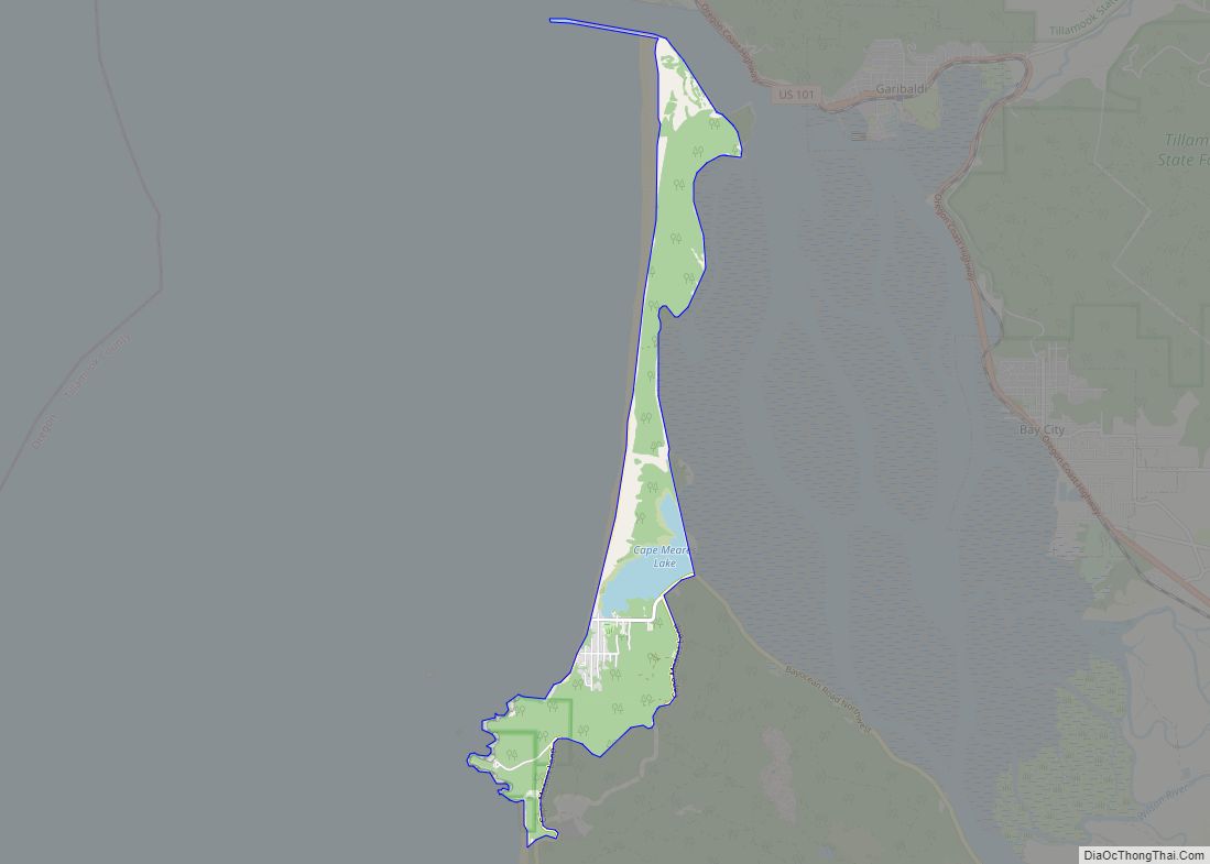
Bayside Gardens location map. Where is Bayside Gardens CDP?
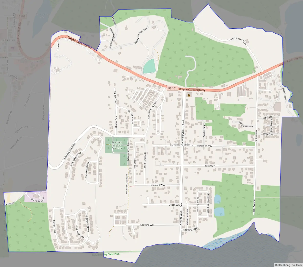
Bayside Gardens Road Map
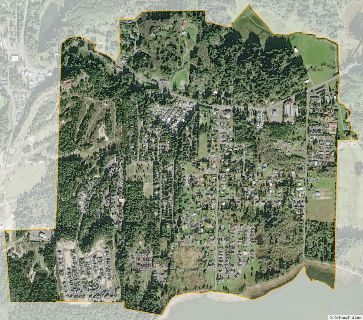
Bayside Gardens city Satellite Map
See also
Map of Oregon State and its subdivision: Map of other states:- Alabama
- Alaska
- Arizona
- Arkansas
- California
- Colorado
- Connecticut
- Delaware
- District of Columbia
- Florida
- Georgia
- Hawaii
- Idaho
- Illinois
- Indiana
- Iowa
- Kansas
- Kentucky
- Louisiana
- Maine
- Maryland
- Massachusetts
- Michigan
- Minnesota
- Mississippi
- Missouri
- Montana
- Nebraska
- Nevada
- New Hampshire
- New Jersey
- New Mexico
- New York
- North Carolina
- North Dakota
- Ohio
- Oklahoma
- Oregon
- Pennsylvania
- Rhode Island
- South Carolina
- South Dakota
- Tennessee
- Texas
- Utah
- Vermont
- Virginia
- Washington
- West Virginia
- Wisconsin
- Wyoming