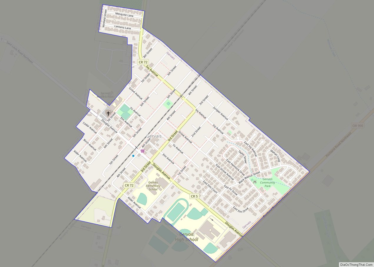
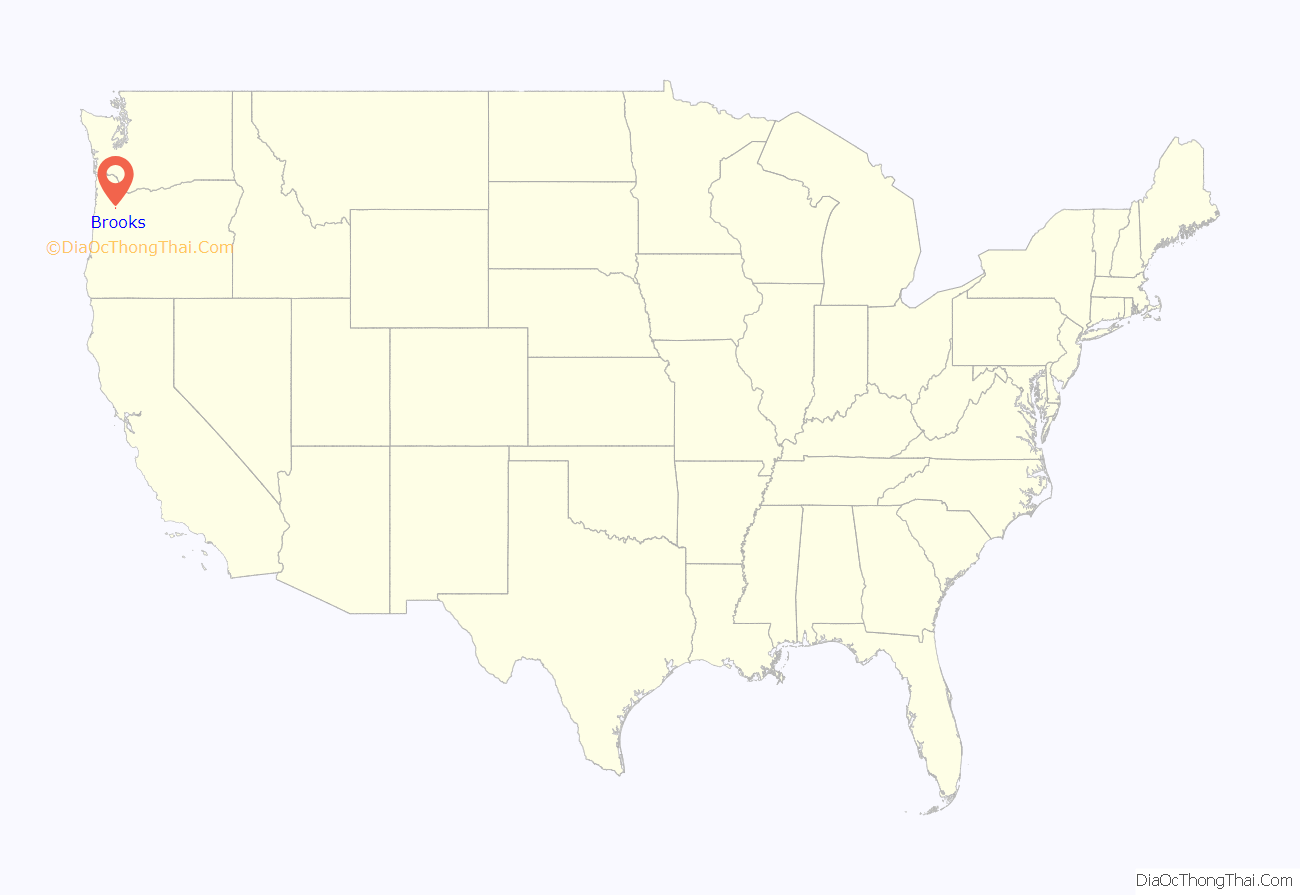
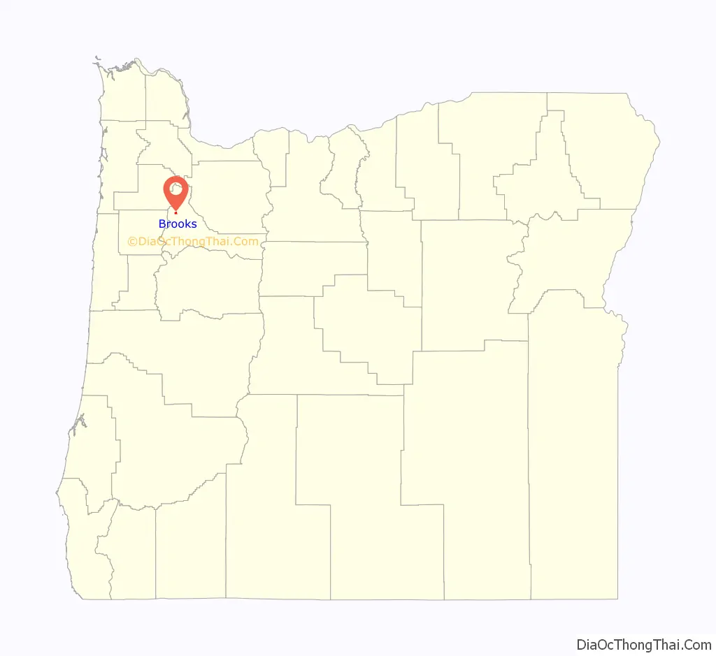
Brooks is an unincorporated community in Marion County, Oregon, United States. For statistical purposes, the United States Census Bureau has defined Brooks as a census-designated place (CDP). The census definition of the area may not precisely correspond to local understanding of the area with the same name. As of the 2020 census the population was 472. Brooks is part of the Salem Metropolitan Statistical Area.
It is located about nine miles north of Salem near Oregon Route 99E on French Prairie.
| Name: | Brooks CDP |
|---|---|
| LSAD Code: | 57 |
| LSAD Description: | CDP (suffix) |
| State: | Oregon |
| County: | Marion County |
| Elevation: | 184 ft (56 m) |
| Total Area: | 0.51 sq mi (1.32 km²) |
| Land Area: | 0.51 sq mi (1.32 km²) |
| Water Area: | 0.00 sq mi (0.00 km²) |
| Total Population: | 472 |
| Population Density: | 925.49/sq mi (357.06/km²) |
| ZIP code: | 97305 |
| Area code: | 503 and 971 |
| FIPS code: | 4108750 |
| GNISfeature ID: | 1118111 |
Online Interactive Map
Click on ![]() to view map in "full screen" mode.
to view map in "full screen" mode.
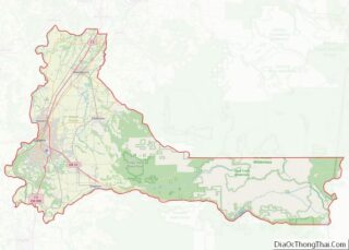
Brooks location map. Where is Brooks CDP?
History
Brooks was a station on the Southern Pacific Railroad main line (now the Union Pacific) through the Willamette Valley. The station was named for early settler Linus Brooks, who came to Oregon from Illinois in 1850. He was born in Ohio in 1805. Brooks post office was established in 1871, about the time the railroad reached the community. Brooks was platted with 30 blocks in 1878 and had 135 residents at that time. The community did not grow appreciably and it never incorporated.
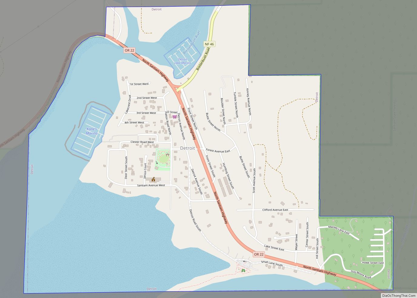
Brooks Road Map
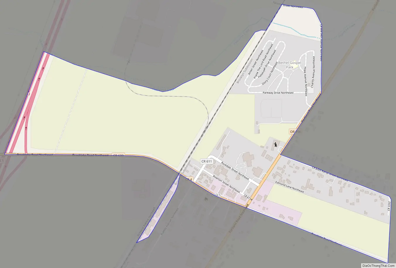
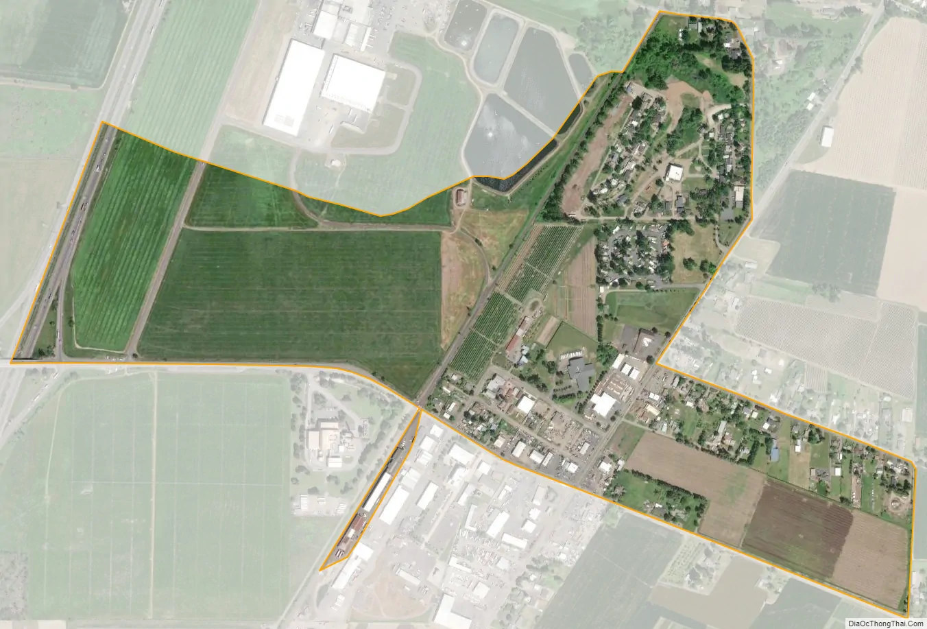
Brooks city Satellite Map
Geography
According to the United States Census Bureau, the CDP has a total area of 0.5 square miles (1.3 km), all of it land.
See also
Map of Oregon State and its subdivision: Map of other states:- Alabama
- Alaska
- Arizona
- Arkansas
- California
- Colorado
- Connecticut
- Delaware
- District of Columbia
- Florida
- Georgia
- Hawaii
- Idaho
- Illinois
- Indiana
- Iowa
- Kansas
- Kentucky
- Louisiana
- Maine
- Maryland
- Massachusetts
- Michigan
- Minnesota
- Mississippi
- Missouri
- Montana
- Nebraska
- Nevada
- New Hampshire
- New Jersey
- New Mexico
- New York
- North Carolina
- North Dakota
- Ohio
- Oklahoma
- Oregon
- Pennsylvania
- Rhode Island
- South Carolina
- South Dakota
- Tennessee
- Texas
- Utah
- Vermont
- Virginia
- Washington
- West Virginia
- Wisconsin
- Wyoming