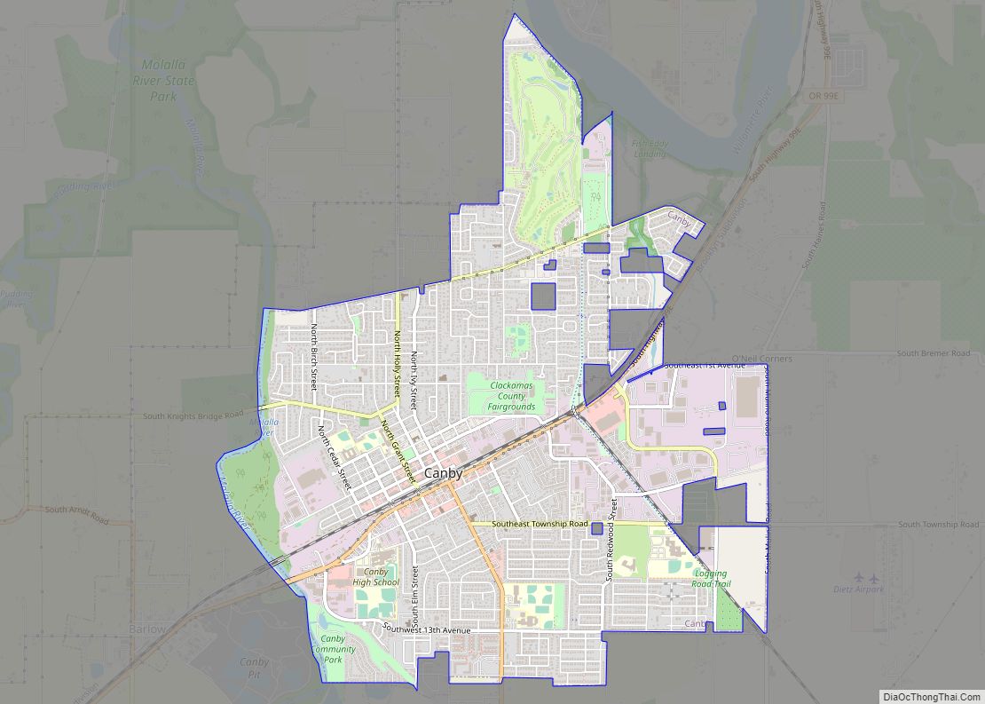
Canby is a city in Clackamas County, Oregon, United States. The population was 18,171 at the 2020 census. It is along Oregon Route 99E, 2 miles (3 km) northeast of Barlow.
| Name: | Canby city |
|---|---|
| LSAD Code: | 25 |
| LSAD Description: | city (suffix) |
| State: | Oregon |
| County: | Clackamas County |
| Incorporated: | 1893 |
| Elevation: | 153 ft (46.63 m) |
| Total Area: | 4.73 sq mi (12.26 km²) |
| Land Area: | 4.70 sq mi (12.17 km²) |
| Water Area: | 0.04 sq mi (0.09 km²) |
| Total Population: | 18,171 |
| Population Density: | 3,867.82/sq mi (1,493.50/km²) |
| ZIP code: | 97013 |
| Area code: | 503 971 |
| FIPS code: | 4110750 |
| GNISfeature ID: | 1118554 |
Online Interactive Map
Click on ![]() to view map in "full screen" mode.
to view map in "full screen" mode.
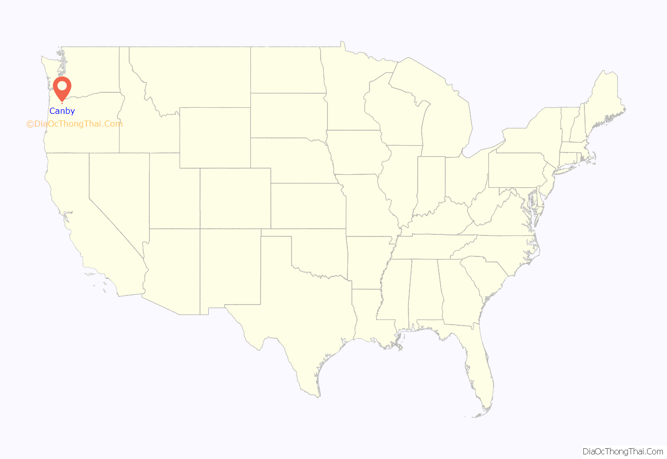
Canby location map. Where is Canby city?
History
Canby is named for Edward Richard Sprigg Canby, a Civil War general who was later killed in the Modoc War by Captain Jack and his group of warriors.
The area was known as Baker Prairie when the community was founded in 1857. Canby was platted in 1870. Canby was incorporated by the Oregon Legislative Assembly on February 15, 1893.
In May 2016, Canby was featured on the ABC newsmagazine 20/20, when the local “Canby Psychic” was part of an investigation into the swindling of a local rancher out of $15 million.
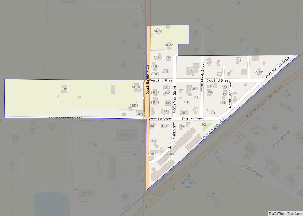
Canby Road Map
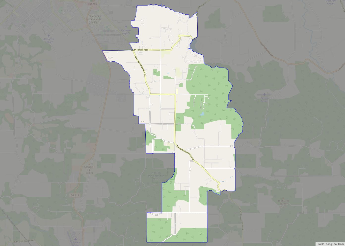
Canby city Satellite Map
Geography
According to the United States Census Bureau, the city has a total area of 3.79 square miles (9.82 km), of which 3.75 square miles (9.71 km) is land and 0.04 square miles (0.10 km) is water.
Entering Canby from the north brings visitors past the Willamette River, and from the south through the historic community of Aurora. The Molalla River passes by the southern and western border of the city.
Climate
This region experiences warm and dry summers, with no average monthly temperatures above 71.6 °F (22.0 °C). According to the Köppen Climate Classification system, Canby has a warm-summer Mediterranean climate, abbreviated “Csb” on climate maps.
See also
Map of Oregon State and its subdivision: Map of other states:- Alabama
- Alaska
- Arizona
- Arkansas
- California
- Colorado
- Connecticut
- Delaware
- District of Columbia
- Florida
- Georgia
- Hawaii
- Idaho
- Illinois
- Indiana
- Iowa
- Kansas
- Kentucky
- Louisiana
- Maine
- Maryland
- Massachusetts
- Michigan
- Minnesota
- Mississippi
- Missouri
- Montana
- Nebraska
- Nevada
- New Hampshire
- New Jersey
- New Mexico
- New York
- North Carolina
- North Dakota
- Ohio
- Oklahoma
- Oregon
- Pennsylvania
- Rhode Island
- South Carolina
- South Dakota
- Tennessee
- Texas
- Utah
- Vermont
- Virginia
- Washington
- West Virginia
- Wisconsin
- Wyoming
