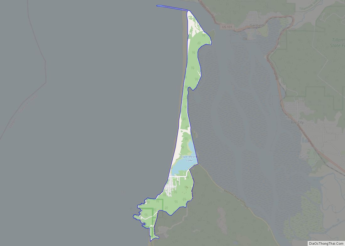
Cape Meares is a census-designated place (CDP) and unincorporated community in Tillamook County, Oregon, United States. The population was 110 at the 2000 census.
The community is named after the natural feature of the same name, which in turn was named after John Meares, a British explorer. The Bayocean post office was briefly renamed “Cape Meares” in 1953 but closed the next year.
| Name: | Cape Meares CDP |
|---|---|
| LSAD Code: | 57 |
| LSAD Description: | CDP (suffix) |
| State: | Oregon |
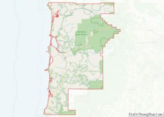
| County: | Tillamook County |
| Elevation: | 249 ft (76 m) |
| Total Area: | 3.69 sq mi (9.55 km²) |
| Land Area: | 3.44 sq mi (8.91 km²) |
| Water Area: | 0.25 sq mi (0.64 km²) |
| Total Population: | 135 |
| Population Density: | 39.26/sq mi (15.15/km²) |
| ZIP code: | 97141 |
| Area code: | 503 |
| FIPS code: | 4111050 |
| GNISfeature ID: | 1139352 |
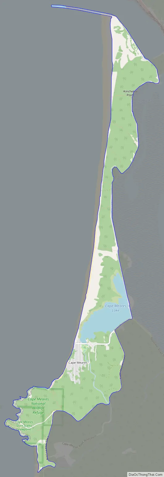
Online Interactive Map
Click on ![]() to view map in "full screen" mode.
to view map in "full screen" mode.
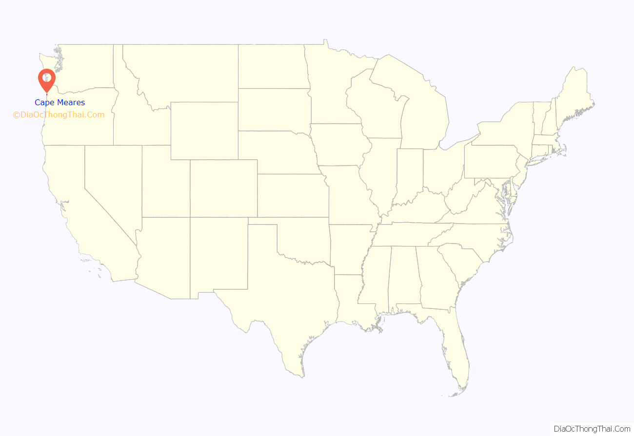
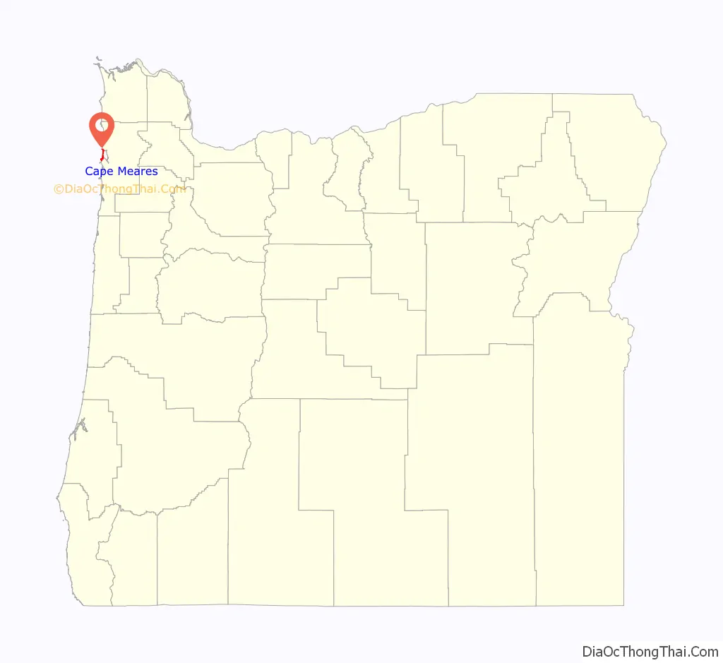
Cape Meares location map. Where is Cape Meares CDP?
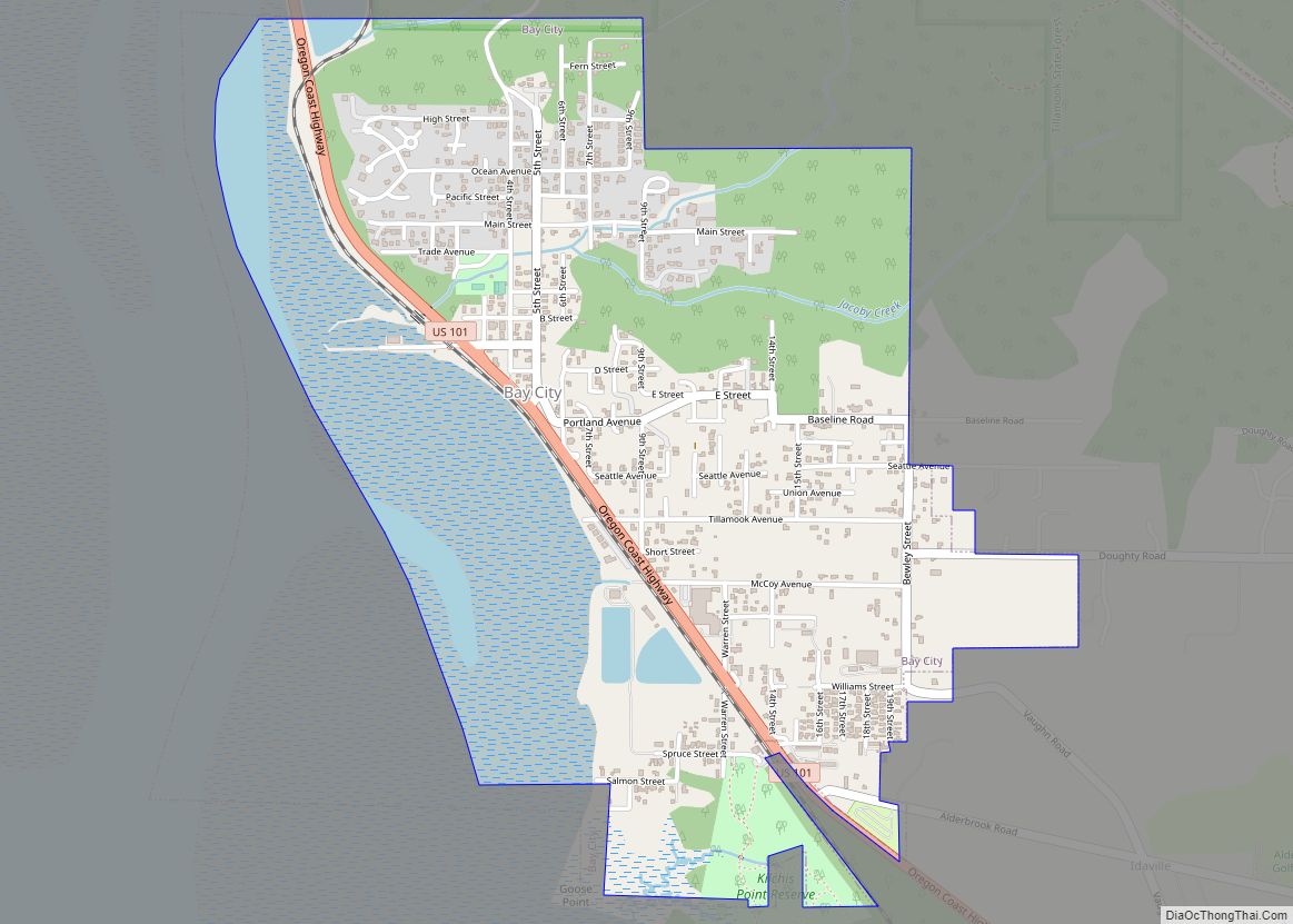
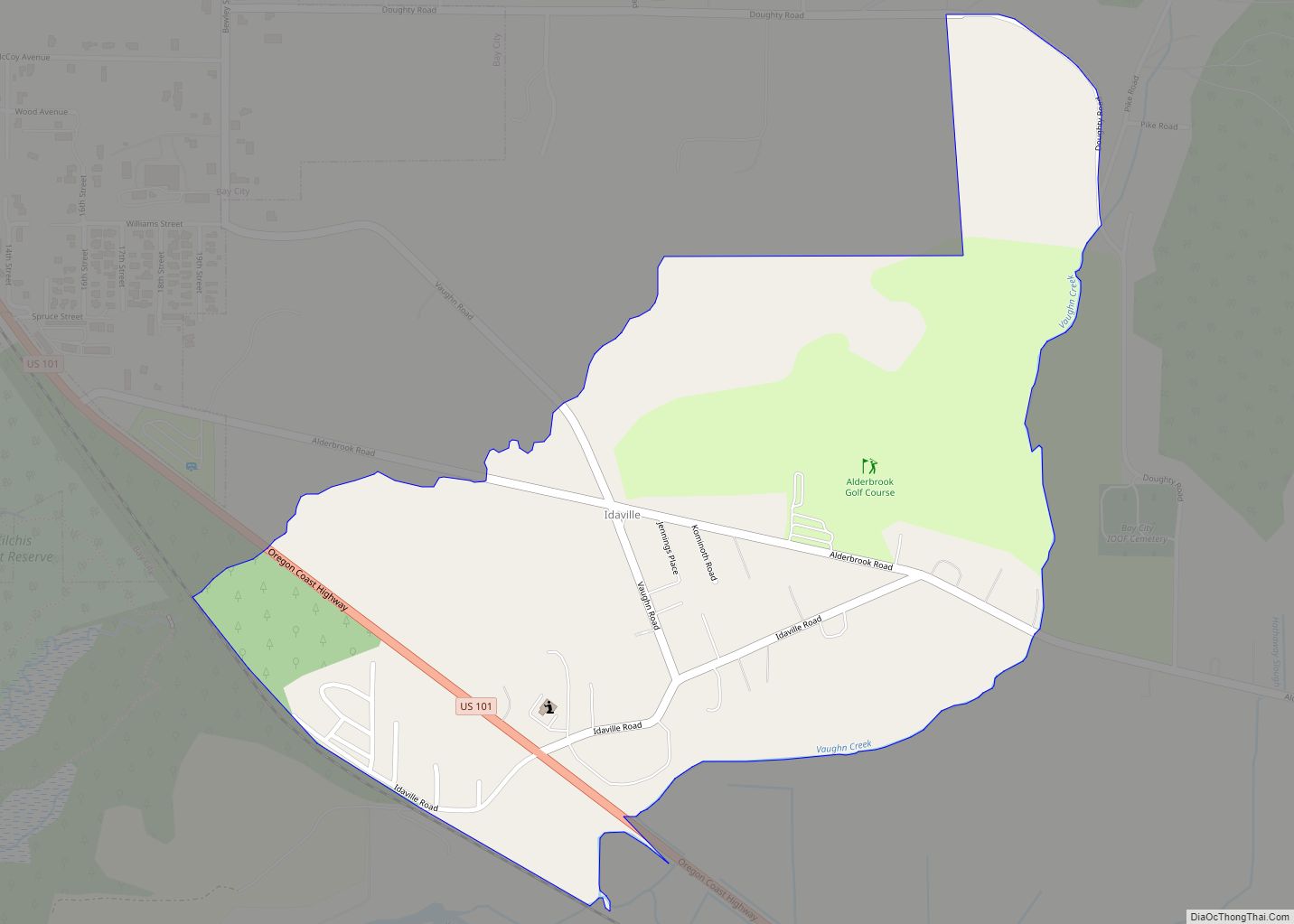
Cape Meares Road Map
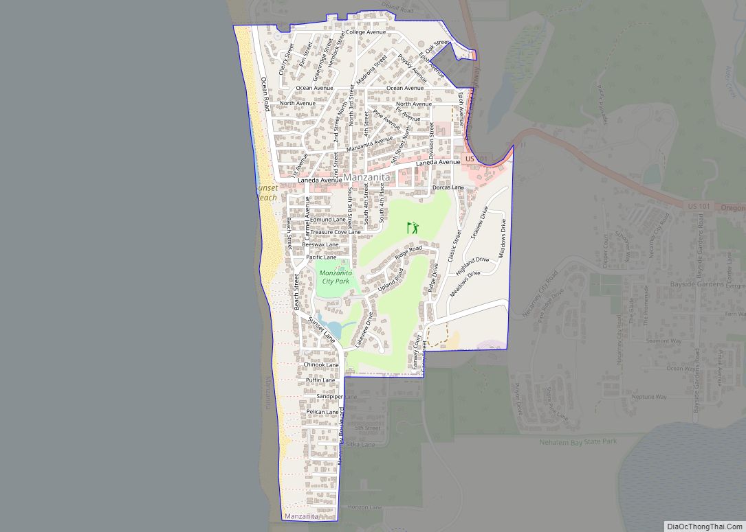
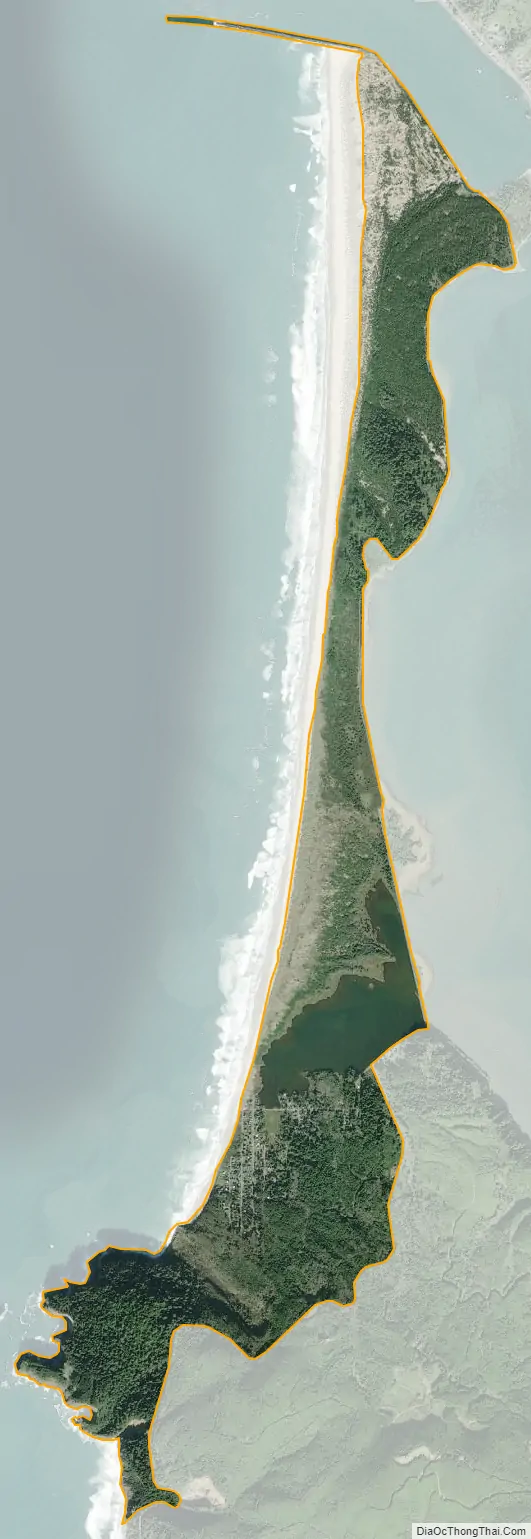
Cape Meares city Satellite Map
Geography
According to the United States Census Bureau, the CDP has a total area of 3.1 square miles (8.0 km), of which, 2.8 square miles (7.3 km) of it is land and 0.3 square miles (0.78 km) of it (8.39%) is water. The area is located 246 feet (75 m) above sea-level.
See also
Map of Oregon State and its subdivision: Map of other states:- Alabama
- Alaska
- Arizona
- Arkansas
- California
- Colorado
- Connecticut
- Delaware
- District of Columbia
- Florida
- Georgia
- Hawaii
- Idaho
- Illinois
- Indiana
- Iowa
- Kansas
- Kentucky
- Louisiana
- Maine
- Maryland
- Massachusetts
- Michigan
- Minnesota
- Mississippi
- Missouri
- Montana
- Nebraska
- Nevada
- New Hampshire
- New Jersey
- New Mexico
- New York
- North Carolina
- North Dakota
- Ohio
- Oklahoma
- Oregon
- Pennsylvania
- Rhode Island
- South Carolina
- South Dakota
- Tennessee
- Texas
- Utah
- Vermont
- Virginia
- Washington
- West Virginia
- Wisconsin
- Wyoming