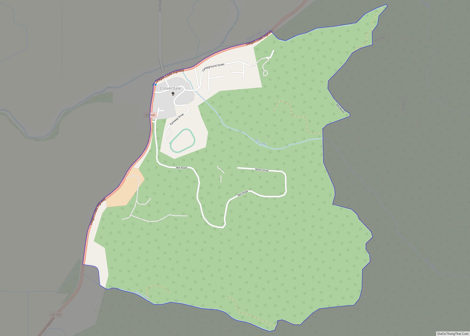
Cloverdale is an unincorporated community in Tillamook County, Oregon, United States. For statistical purposes, the United States Census Bureau has defined Cloverdale as a census-designated place (CDP). The census definition of the area may not precisely correspond to local understanding of the area with the same name. The population was 242 at the 2000 census.
| Name: | Cloverdale CDP |
|---|---|
| LSAD Code: | 57 |
| LSAD Description: | CDP (suffix) |
| State: | Oregon |
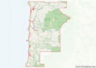
| County: | Tillamook County |
| Elevation: | 23 ft (7 m) |
| Total Area: | 0.80 sq mi (2.08 km²) |
| Land Area: | 0.80 sq mi (2.08 km²) |
| Water Area: | 0.00 sq mi (0.00 km²) |
| Total Population: | 267 |
| Population Density: | 332.92/sq mi (128.52/km²) |
| ZIP code: | 97112 |
| Area code: | 503 |
| FIPS code: | 4114200 |
| GNISfeature ID: | 1139856 |
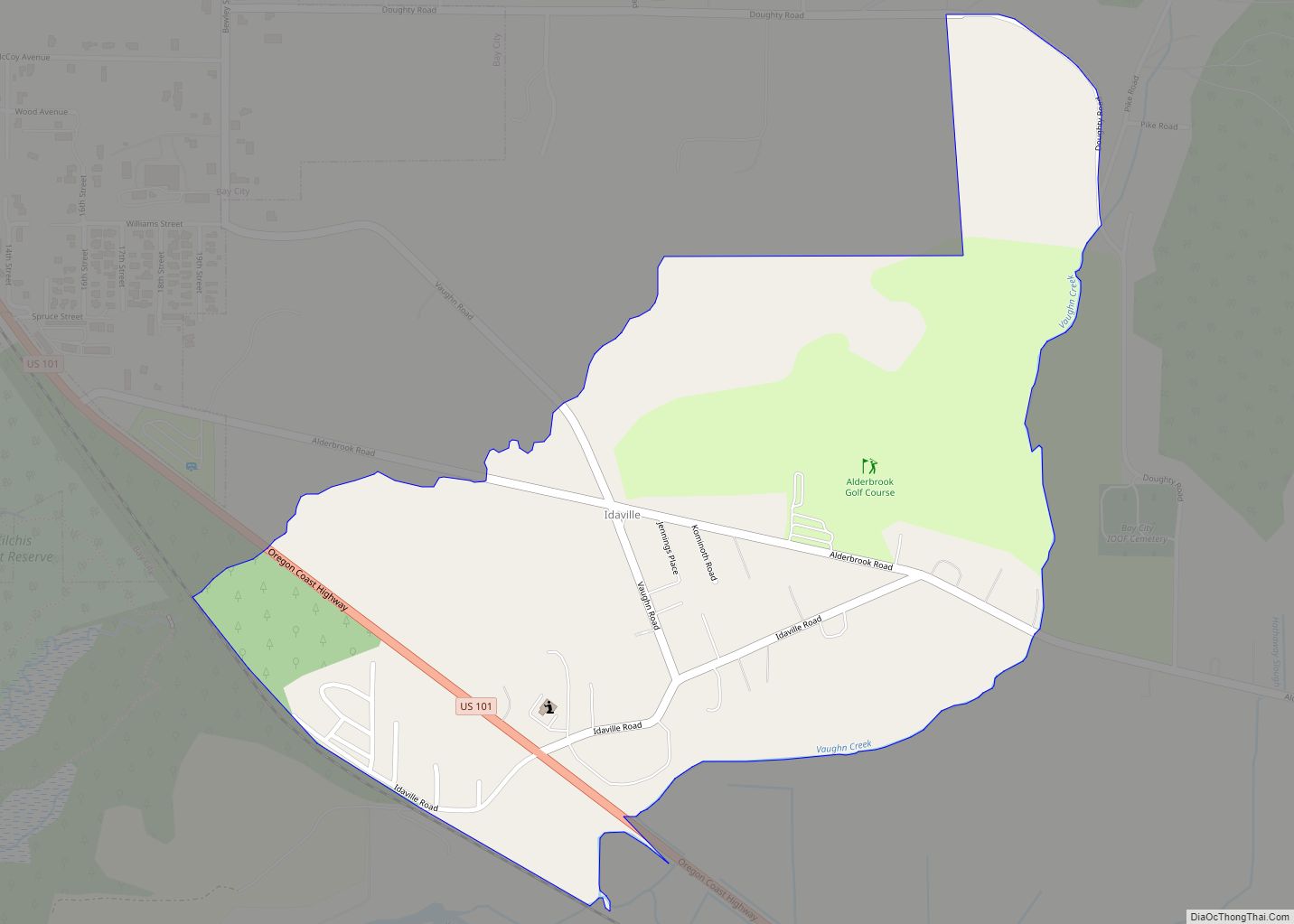
Online Interactive Map
Click on ![]() to view map in "full screen" mode.
to view map in "full screen" mode.
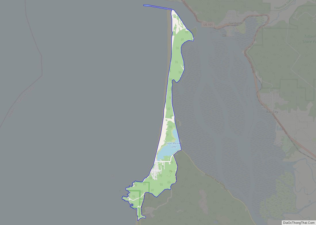
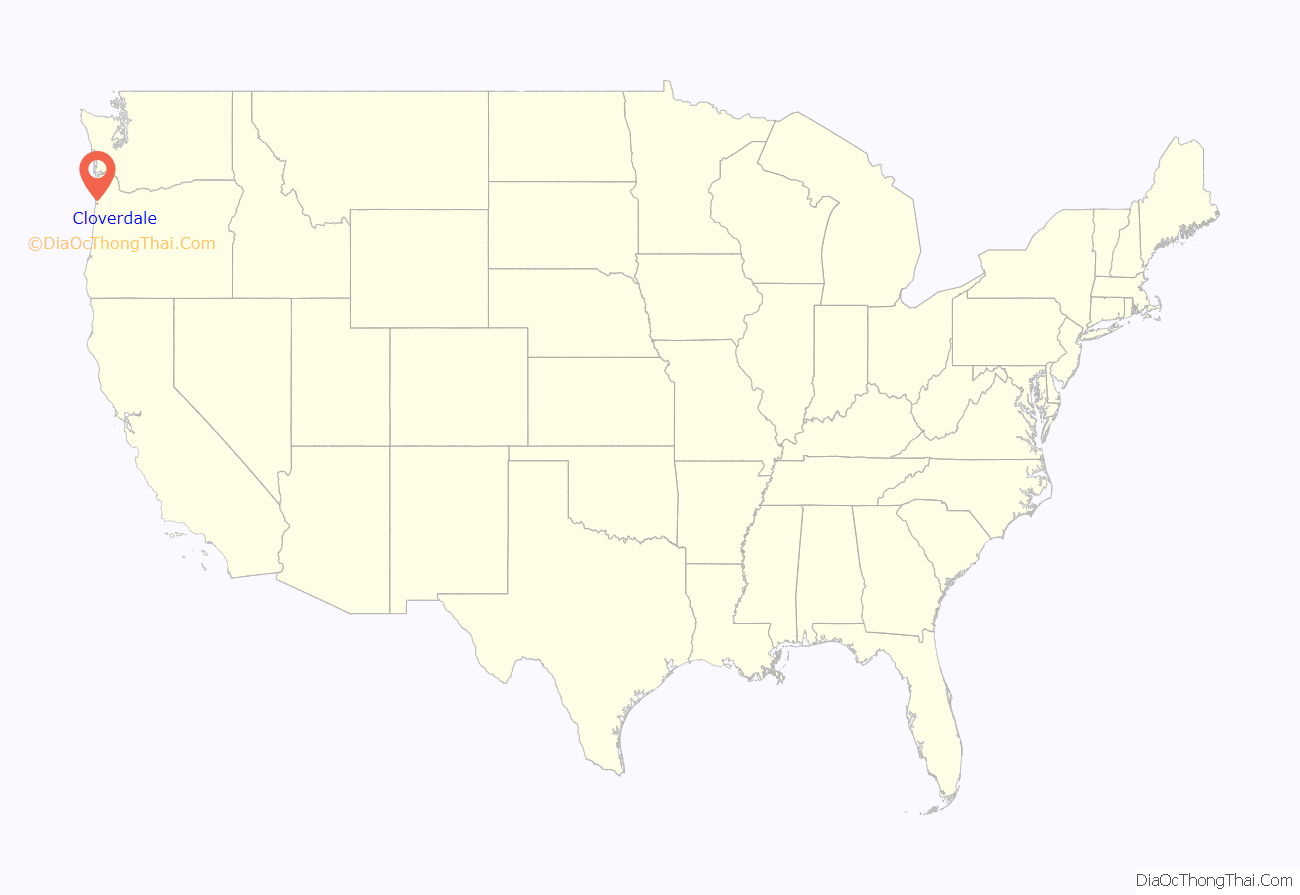
Cloverdale location map. Where is Cloverdale CDP?
History
Cloverdale was founded and named by Charles Ray, who settled in Tillamook County around 1884 at the site that later became the town. He later established a store, hotel, bank, and cheese factory. A post office was established in 1899.
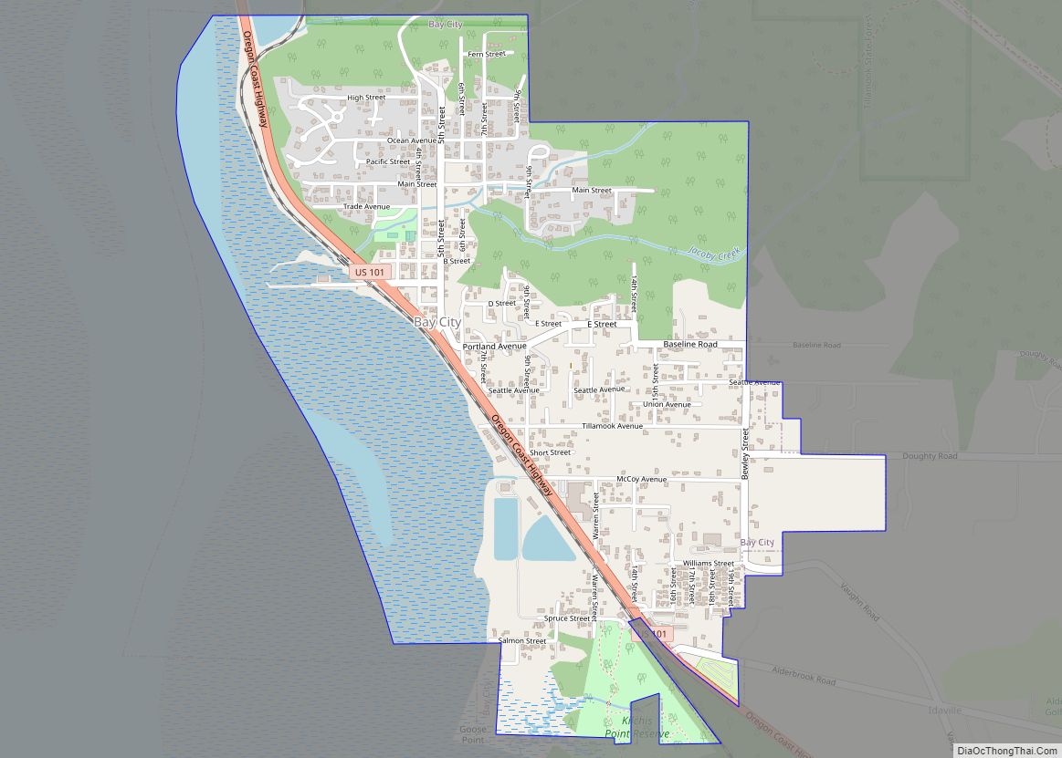
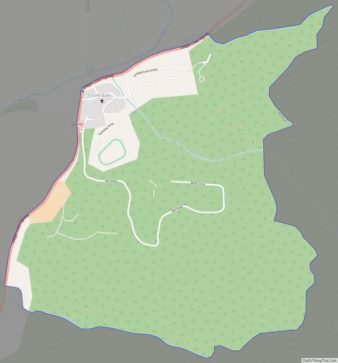
Cloverdale Road Map
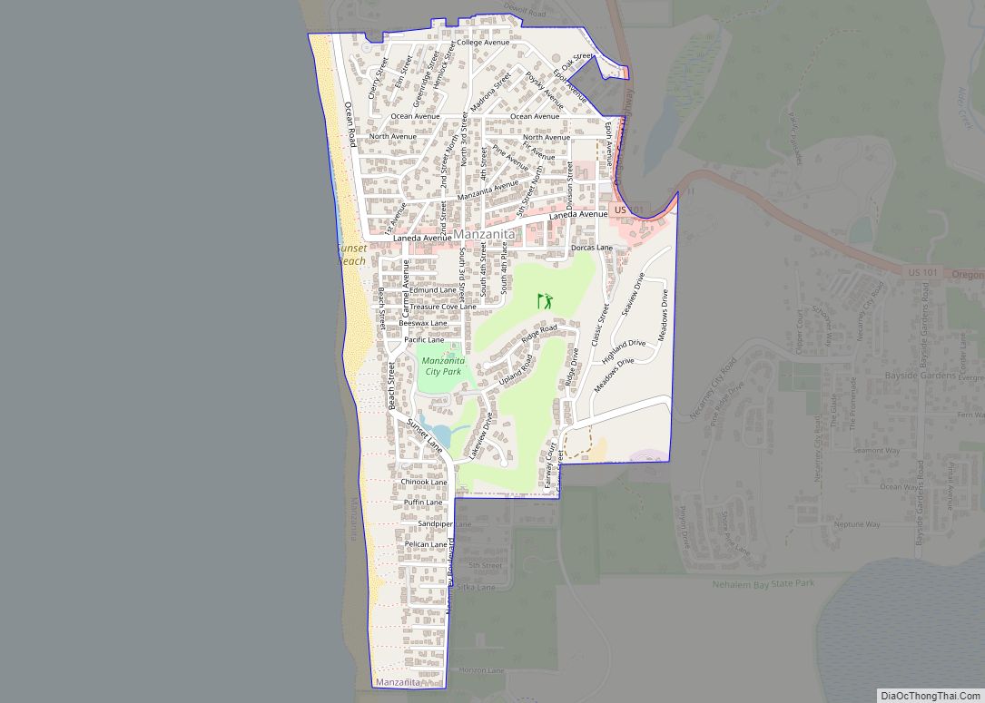
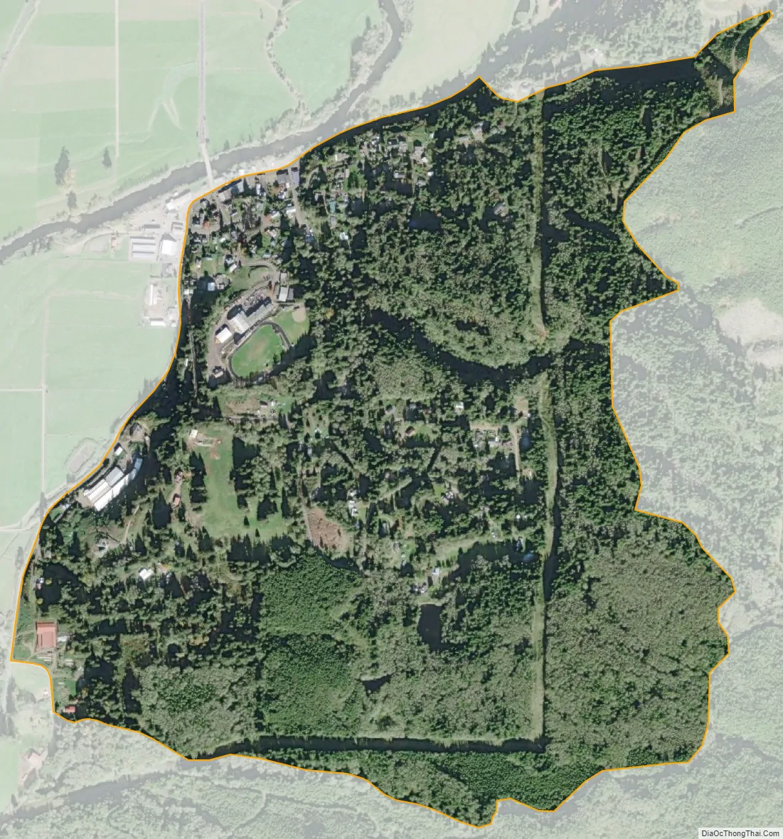
Cloverdale city Satellite Map
Geography
According to the United States Census Bureau, the CDP has a total area of 0.8 square miles (2.1 km), all of it land.
Climate
This region experiences cool and dry summers and mild, very wet winters. According to the Köppen Climate Classification system, Cloverdale has a warm-summer Mediterranean climate, abbreviated Csb on climate maps.
See also
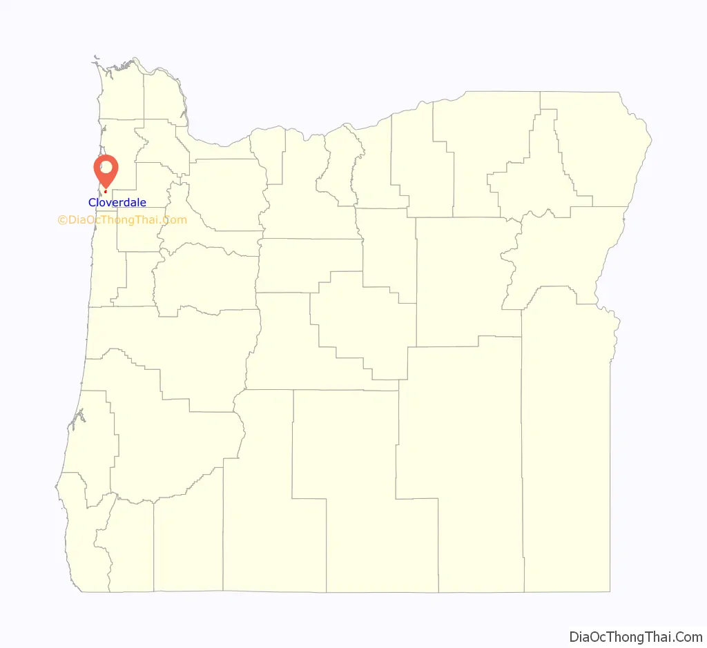
Map of Oregon State and its subdivision: Map of other states:- Alabama
- Alaska
- Arizona
- Arkansas
- California
- Colorado
- Connecticut
- Delaware
- District of Columbia
- Florida
- Georgia
- Hawaii
- Idaho
- Illinois
- Indiana
- Iowa
- Kansas
- Kentucky
- Louisiana
- Maine
- Maryland
- Massachusetts
- Michigan
- Minnesota
- Mississippi
- Missouri
- Montana
- Nebraska
- Nevada
- New Hampshire
- New Jersey
- New Mexico
- New York
- North Carolina
- North Dakota
- Ohio
- Oklahoma
- Oregon
- Pennsylvania
- Rhode Island
- South Carolina
- South Dakota
- Tennessee
- Texas
- Utah
- Vermont
- Virginia
- Washington
- West Virginia
- Wisconsin
- Wyoming