Garibaldi (/ˌɡærɪˈbɔːldi/ GARR-ib-AWL-dee) is a city in Tillamook County, in the U.S. state of Oregon. The population was 830 at the 2020 census.
| Name: | Garibaldi city |
|---|---|
| LSAD Code: | 25 |
| LSAD Description: | city (suffix) |
| State: | Oregon |
| County: | Tillamook County |
| Incorporated: | 1946 |
| Elevation: | 22 ft (6.7 m) |
| Total Area: | 1.37 sq mi (3.54 km²) |
| Land Area: | 0.99 sq mi (2.55 km²) |
| Water Area: | 0.38 sq mi (0.99 km²) |
| Total Population: | 830 |
| Population Density: | 841.78/sq mi (324.87/km²) |
| ZIP code: | 97118 |
| Area code: | 503 |
| FIPS code: | 4128000 |
| GNISfeature ID: | 1121062 |
| Website: | www.ci.garibaldi.or.us |
Online Interactive Map
Click on ![]() to view map in "full screen" mode.
to view map in "full screen" mode.
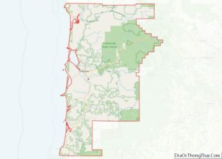
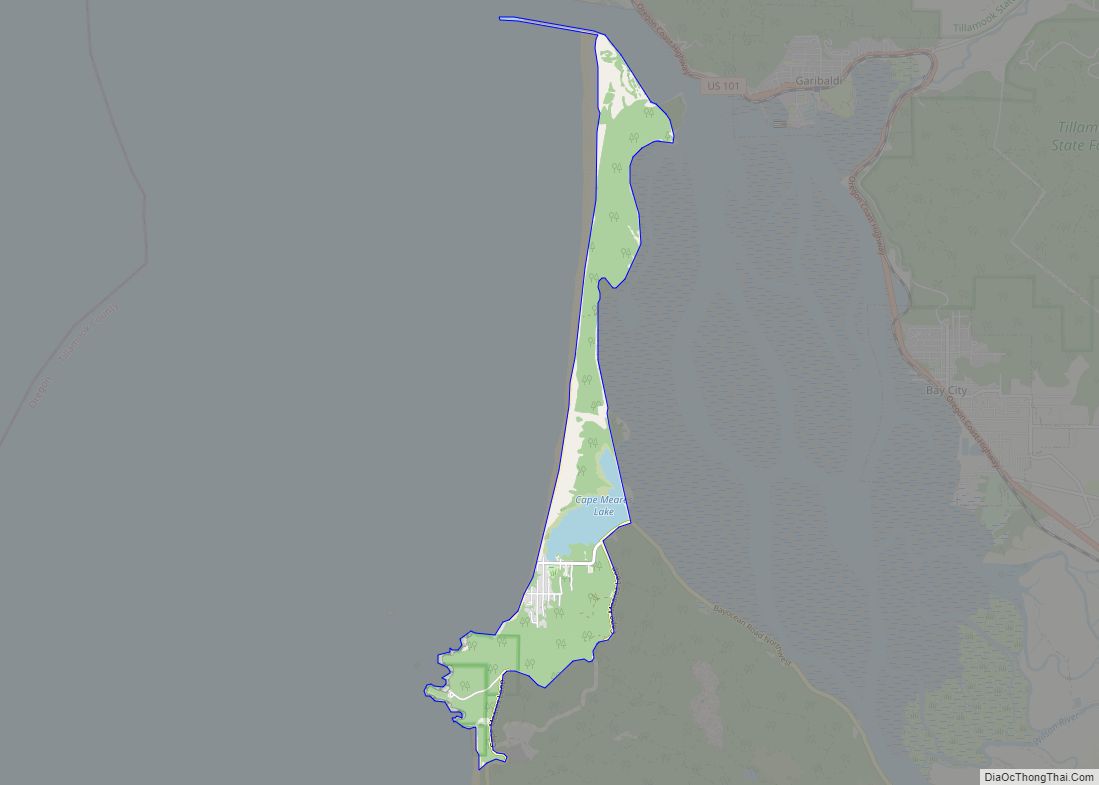
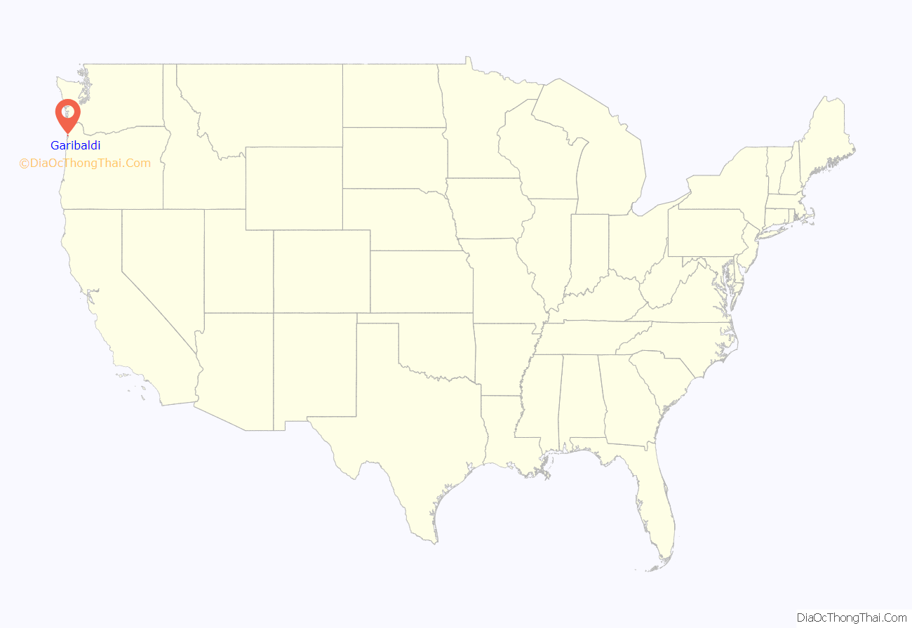
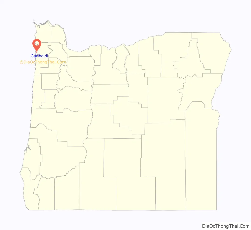
Garibaldi location map. Where is Garibaldi city?
History
The indigenous Tillamook people have lived along the Oregon coast –including the Tillamook Bay– for about 12,000 years; from Tillamook Head in the North, to Cape Foulweather in the south, and extending inland to the summit of the Oregon Coast Range. They lived in permanent cedar-plank lodges, illuminated at night with torches or by burning fish heads or whale oil. Their diet included salmon, mussels, lampreys, berries, wild mustard, camas, grouse, beaver, deer, and elk.
Captain Robert Gray, born in Rhode Island and sailing from Boston, sailed the Lady Washington into Tillamook Bay in 1788, where his crew fought with the Tillamook people. The Lewis and Clark expedition recorded in 1806 that 2,400 Tillamook people resided on Oregon’s coast. As the white settler population increased, indigenous people suffered from newly introduced diseases including smallpox. By 1930 only 22 indigenous people remained in all of Tillamook County.
Daniel Bayley was the first white property owner on this part of Tillamook Bay, having first settled here after the Civil War. Bayley was one of the first white settlers who arrived in Tillamook Bay’s northern end area. Bayley built a hotel and general store on what is now known as Bay Lane. In 1867, Bayley subdivided the Bayley Park Addition and was officially granted title to the property on May 15, 1869, by President Ulysses S. Grant. In 1870, he was appointed by President Grant as the area’s first postmaster and given the duty of naming the postmark. This same year, Giuseppe Garibaldi helped unify Italy after a military career devoted to establishing democracy around the world and Bayley felt so inclined to name the post office after his hero.
Starting in the 1870s, the region’s indigenous people were relocated to the nearby Hobsonville Indian Community. By the 1930s, this community was composed mostly of elderly women and children, and given the nickname “Squawtown”. Tourists and antiquities dealers would visit, and the local Ku Klux Klan occasionally harassed the residents. The community was abandoned by WWII, and some residents moved to Garibaldi.
Garibaldi’s first school (Hobson School) was built in 1896. In 1907 the school was moved close to where it now stands between Cypress and Driftwood under the big “G”. In 1926, the new high school opened so Garibaldi students no longer had to attend secondary school in Bay City. In 1954, north Tillamook County high schools were consolidated as Neah-Kah-Nie High School north of Rockaway Beach. Garibaldi High School became a grade school.
The Whitney mill was opened in 1921. The tall smokestack, today all that remains, was constructed by the Hammond Company in 1927–28.
Garibaldi was incorporated as a City in 1946. During the 1950s the city’s population increased to over 1500 with the construction of two large mills, The Oceanside Lumber Company and Oregon-Washington Plywood Corporation. The Oregon-Washington Mill closed in the late 1970s. Weyerhaeuser hardwood mill at the Port of Garibaldi was acquired in 2011 by a New York-based company and has been operating as Northwest Hardwoods, Inc. since the acquisition.
In 2020, writer Helen Hill suggested removing Garibaldi’s statue of Captain Robert Gray, due to claims about his treatment of indigenous people. The statue, which stands outside the Garibaldi Maritime Museum, depicts Gray standing on a sacred box with Haida designs. As of 2020, the museum’s board will consider adding information next to the statue.
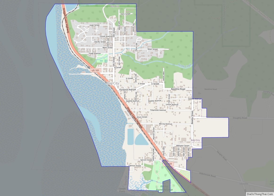
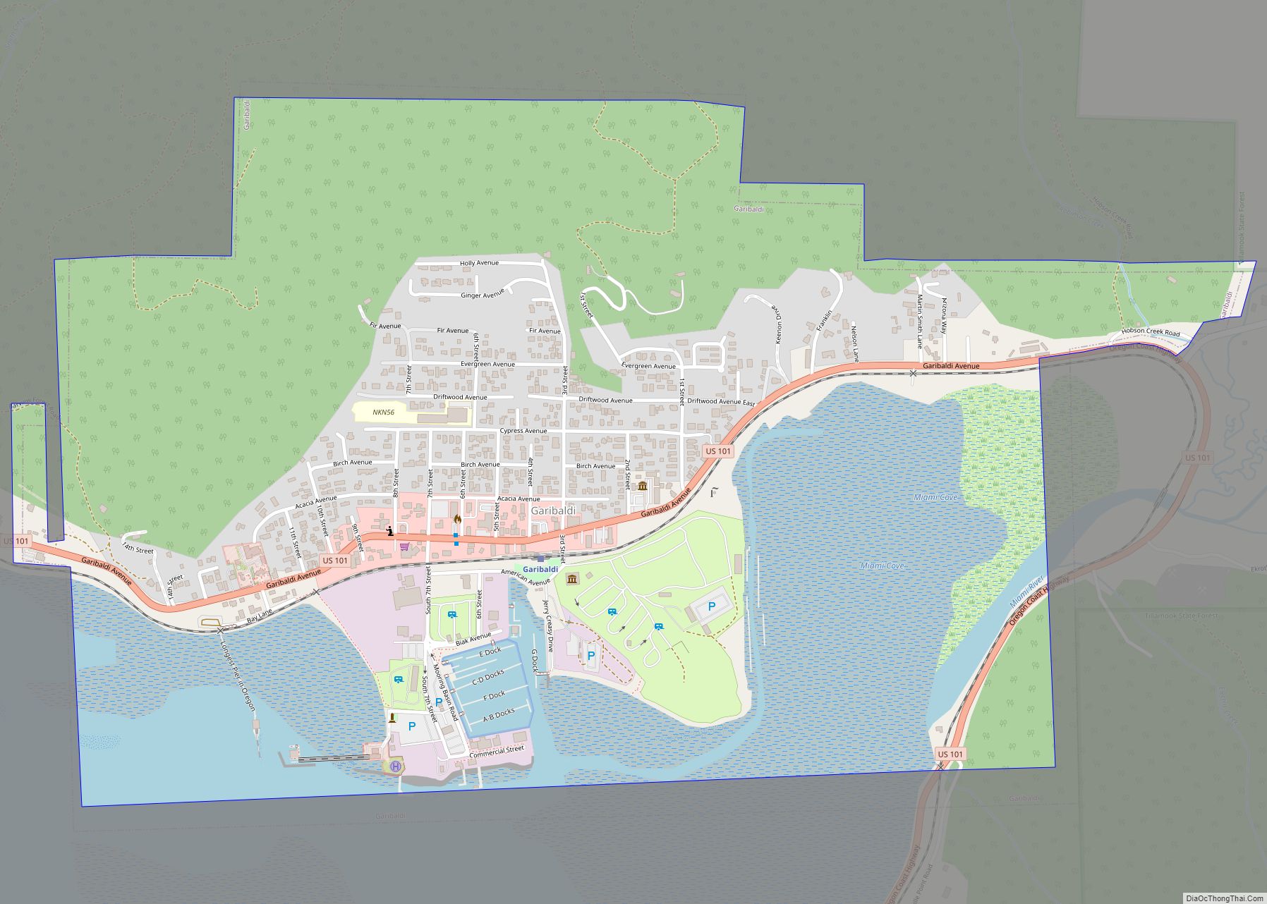
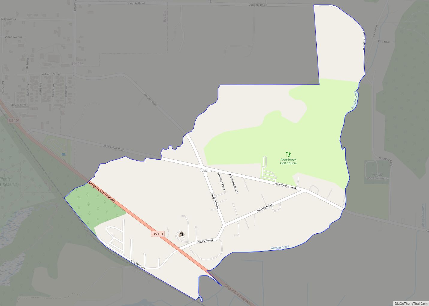
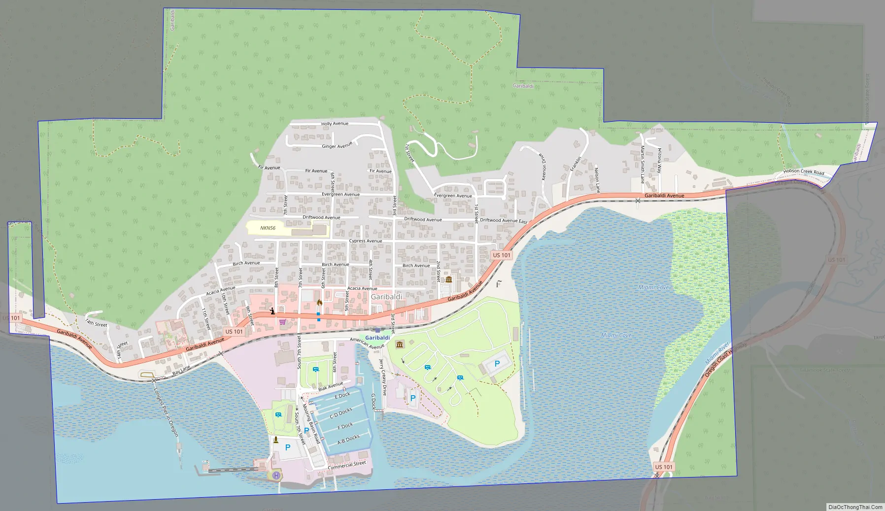
Garibaldi Road Map
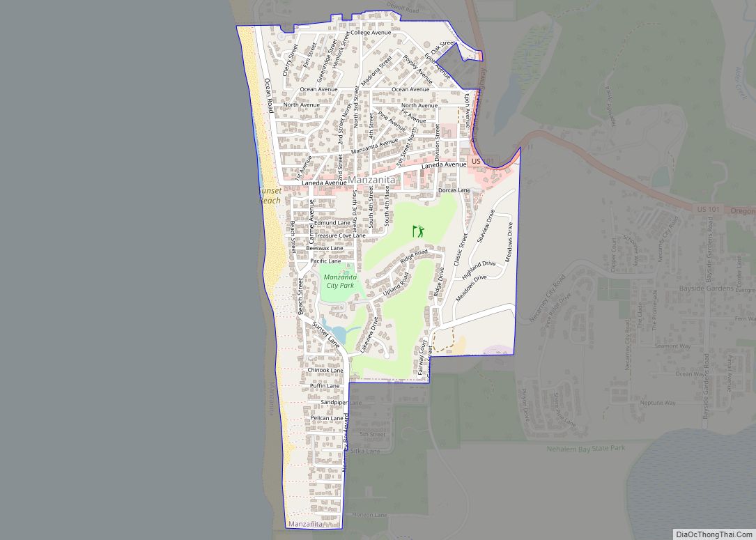
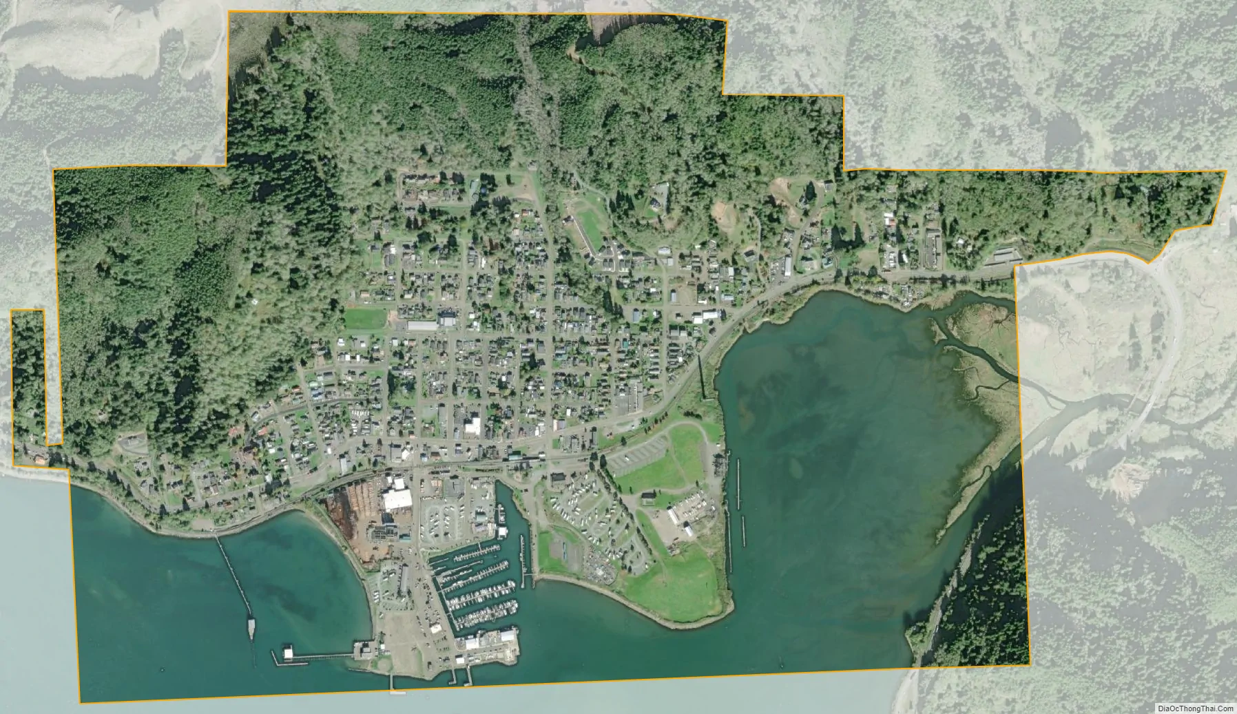
Garibaldi city Satellite Map
Geography
According to the United States Census Bureau, the city has a total area of 1.37 square miles (3.55 km), of which, 0.99 square miles (2.56 km) is land and 0.38 square miles (0.98 km) is water.
See also
Map of Oregon State and its subdivision: Map of other states:- Alabama
- Alaska
- Arizona
- Arkansas
- California
- Colorado
- Connecticut
- Delaware
- District of Columbia
- Florida
- Georgia
- Hawaii
- Idaho
- Illinois
- Indiana
- Iowa
- Kansas
- Kentucky
- Louisiana
- Maine
- Maryland
- Massachusetts
- Michigan
- Minnesota
- Mississippi
- Missouri
- Montana
- Nebraska
- Nevada
- New Hampshire
- New Jersey
- New Mexico
- New York
- North Carolina
- North Dakota
- Ohio
- Oklahoma
- Oregon
- Pennsylvania
- Rhode Island
- South Carolina
- South Dakota
- Tennessee
- Texas
- Utah
- Vermont
- Virginia
- Washington
- West Virginia
- Wisconsin
- Wyoming