Jefferson is a city in Marion County, Oregon, United States. It is part of the Salem Metropolitan Statistical Area. The population was 3,327 at the 2020 census. It is home to the annual Mint Harvest Festival and is the self-proclaimed “Mint Capital of the World” as well as “Frog Jumping Capital of Oregon.” The city sits on the right bank of the Santiam River between Salem and Albany along Oregon Route 164 east of Interstate 5.
| Name: | Jefferson city |
|---|---|
| LSAD Code: | 25 |
| LSAD Description: | city (suffix) |
| State: | Oregon |
| County: | Marion County |
| Incorporated: | 1870 |
| Elevation: | 240 ft (70 m) |
| Total Area: | 0.89 sq mi (2.29 km²) |
| Land Area: | 0.86 sq mi (2.22 km²) |
| Water Area: | 0.03 sq mi (0.07 km²) |
| Total Population: | 3,327 |
| Population Density: | 3,882.15/sq mi (1,499.43/km²) |
| ZIP code: | 97352 |
| Area code: | 541 |
| FIPS code: | 4137250 |
| GNISfeature ID: | 1163070 |
Online Interactive Map
Click on ![]() to view map in "full screen" mode.
to view map in "full screen" mode.
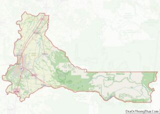
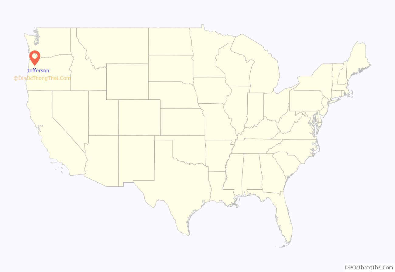
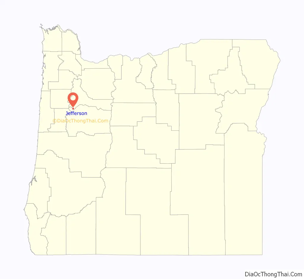
Jefferson location map. Where is Jefferson city?
History
The first name for this locality was Conser’s Ferry, for Jacob S. Conser, an Oregon Trail pioneer of 1848 who ran a ferry across the Santiam River. Conser was also involved in the communities of Syracuse and Santiam City, which was about 2 miles (3 km) downstream of Jefferson. He established the ferry in 1851, and also served as the postmaster of Santiam City. When the Jefferson Institute was established in the vicinity (not the same as the Jefferson Institute in Polk County), the name Jefferson was eventually adopted by the community. Jefferson post office was established in 1861, with a name change from Syracuse, and previously, Santiam City.
In 1974, the Jacob Conser House was listed on the National Register of Historic Places (NRHP), which served as the city’s library until 2018. The current Oregon Route 164 bridge across the Santiam was designed by Conde McCullough and named in Conser’s honor. The Jefferson Methodist Church was added to the NRHP in 1980. In 2017, voters recalled mayor Cyndie Hightower, and three city council members resigned over issues related to the annexation of land into the city.
Jefferson Road Map
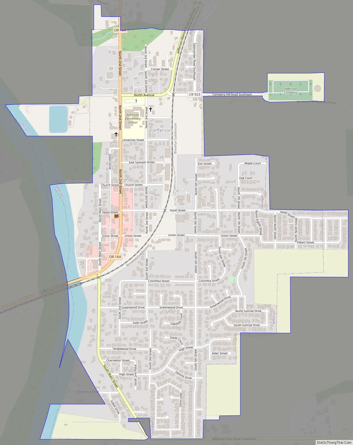
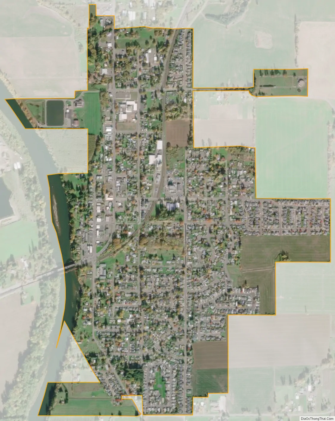
Jefferson city Satellite Map
Geography
According to the United States Census Bureau, the city has a total area of 0.77 square miles (1.99 km), of which, 0.76 square miles (1.97 km) is land and 0.01 square miles (0.03 km) is water.
Climate
This region experiences warm (but not hot) and dry summers, with no average monthly temperatures above 71.6 °F (22.0 °C). According to the Köppen Climate Classification system, Jefferson has a warm-summer Mediterranean climate, abbreviated “Csb” on climate maps.
See also
Map of Oregon State and its subdivision: Map of other states:- Alabama
- Alaska
- Arizona
- Arkansas
- California
- Colorado
- Connecticut
- Delaware
- District of Columbia
- Florida
- Georgia
- Hawaii
- Idaho
- Illinois
- Indiana
- Iowa
- Kansas
- Kentucky
- Louisiana
- Maine
- Maryland
- Massachusetts
- Michigan
- Minnesota
- Mississippi
- Missouri
- Montana
- Nebraska
- Nevada
- New Hampshire
- New Jersey
- New Mexico
- New York
- North Carolina
- North Dakota
- Ohio
- Oklahoma
- Oregon
- Pennsylvania
- Rhode Island
- South Carolina
- South Dakota
- Tennessee
- Texas
- Utah
- Vermont
- Virginia
- Washington
- West Virginia
- Wisconsin
- Wyoming