Johnson City is a city in Clackamas County, Oregon, United States. The population was 566 at the 2010 census. Because of its small area, its population density is over 8,000 per square mile, making it the most densely populated city in Oregon.
| Name: | Johnson City city |
|---|---|
| LSAD Code: | 25 |
| LSAD Description: | city (suffix) |
| State: | Oregon |
| County: | Clackamas County |
| Incorporated: | 1970 |
| Elevation: | 60 ft (20 m) |
| Total Area: | 0.07 sq mi (0.18 km²) |
| Land Area: | 0.07 sq mi (0.17 km²) |
| Water Area: | 0.00 sq mi (0.01 km²) |
| Total Population: | 539 |
| Population Density: | 8,292.31/sq mi (3,204.59/km²) |
| ZIP code: | 97267 |
| Area code: | 503 and 971 |
| FIPS code: | 4137650 |
| GNISfeature ID: | 1639428 |
| Website: | www.johnsoncity.us |
Online Interactive Map
Click on ![]() to view map in "full screen" mode.
to view map in "full screen" mode.
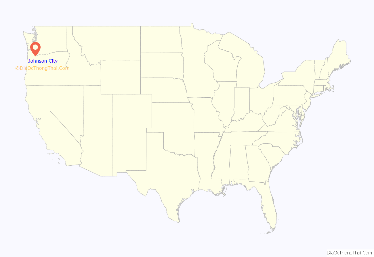
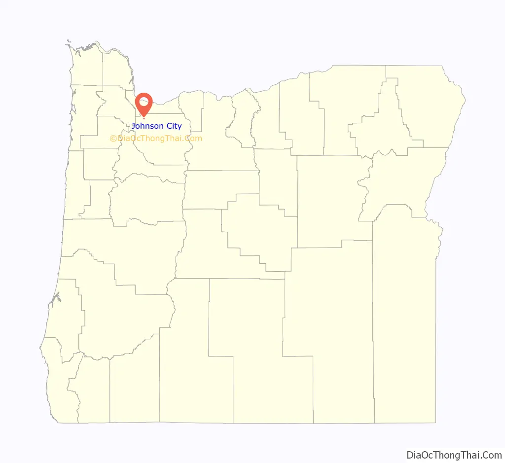
Johnson City location map. Where is Johnson City city?
History
On June 16, 1970, the residents of a trailer court owned by Delbert Johnson voted 49-to-10 to incorporate. Johnson had started the development in 1959, and in 1968 was unsuccessful in having the area annexed to Gladstone. The 55th Oregon Legislative Assembly in 1969 established a boundary review board to prevent an increase in small incorporated cities, but proponents of Johnson City’s incorporation had filed for an election before the law took effect.
Johnson City residents are not eligible to participate in the Clackamas County library system (LINCC), and subsequently any of its county partners. They are also not eligible for North Clackamas Parks and Recreation (NCPRD) programs, which includes Meals on Wheels.
In an effort to join the Library District of Clackamas County, the Johnson City Tenant Collective (JCTC) put Measure 3-585 on the 2022 November General Election Ballot. It did not pass, and there is an open investigation against the owner of Johnson Mobile Estates for possible voter intimidation.
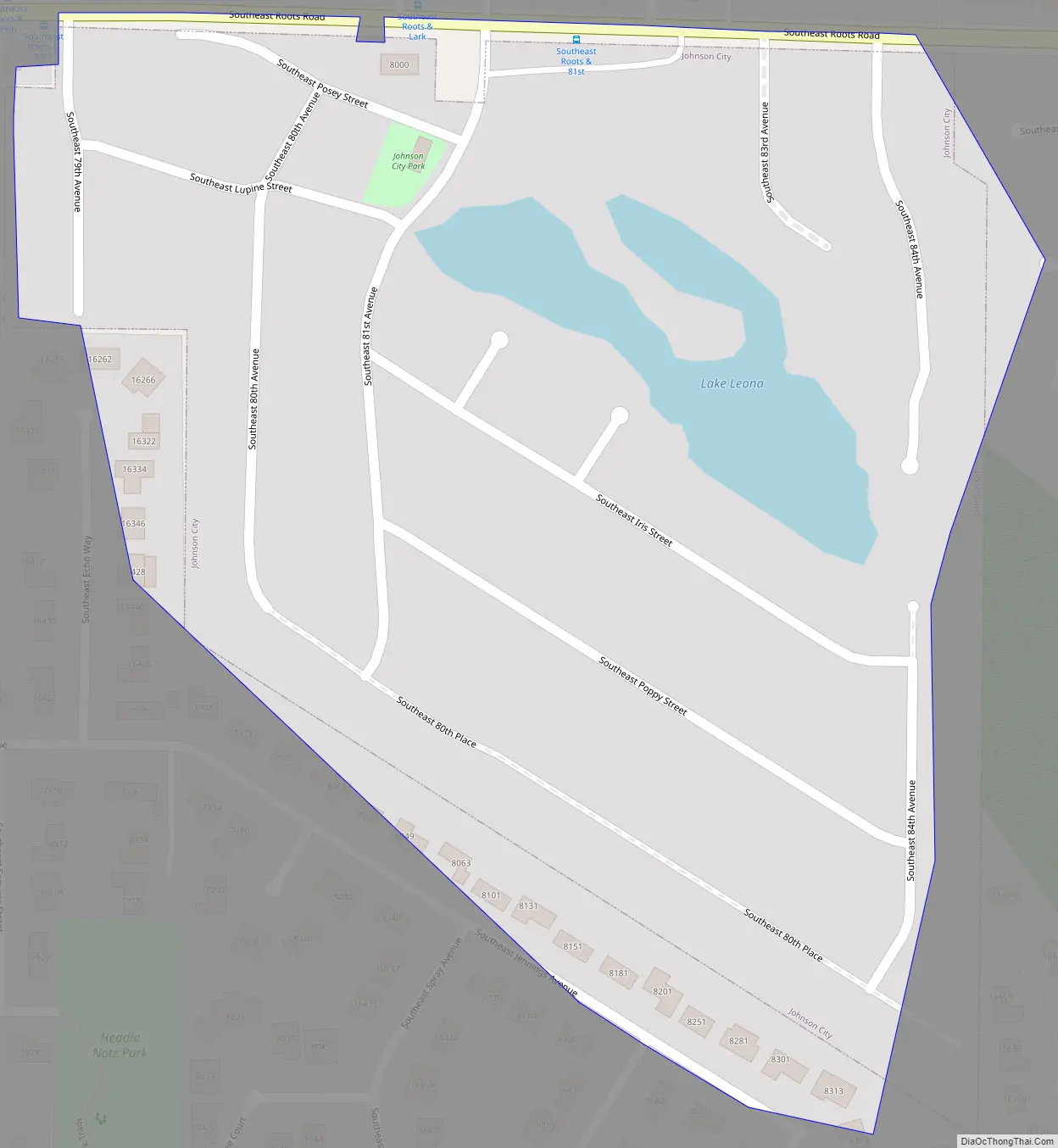
Johnson City Road Map
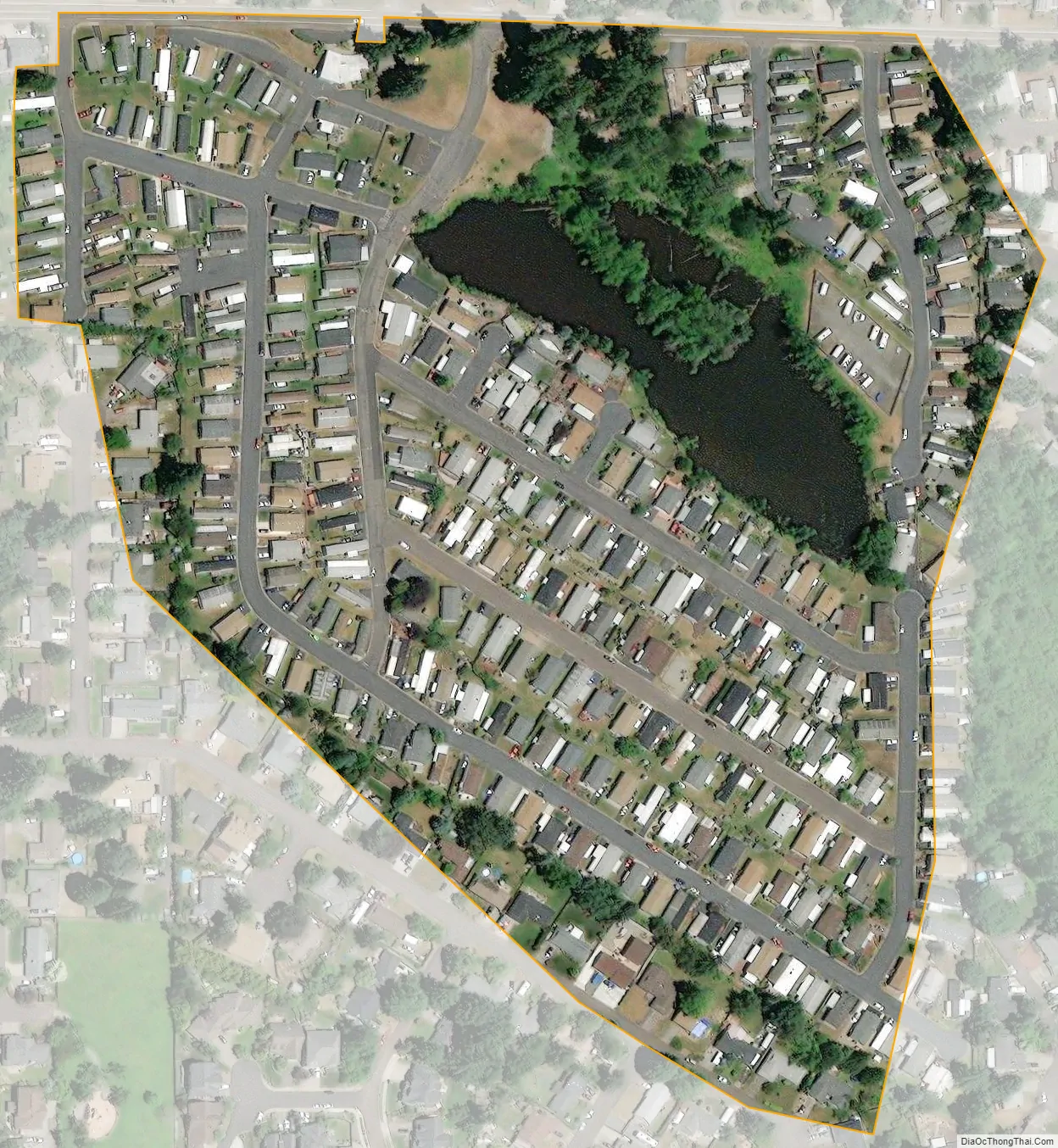
Johnson City city Satellite Map
Geography
According to the United States Census Bureau, the city has a total area of 0.07 square miles (0.18 km), all of it land.
See also
Map of Oregon State and its subdivision: Map of other states:- Alabama
- Alaska
- Arizona
- Arkansas
- California
- Colorado
- Connecticut
- Delaware
- District of Columbia
- Florida
- Georgia
- Hawaii
- Idaho
- Illinois
- Indiana
- Iowa
- Kansas
- Kentucky
- Louisiana
- Maine
- Maryland
- Massachusetts
- Michigan
- Minnesota
- Mississippi
- Missouri
- Montana
- Nebraska
- Nevada
- New Hampshire
- New Jersey
- New Mexico
- New York
- North Carolina
- North Dakota
- Ohio
- Oklahoma
- Oregon
- Pennsylvania
- Rhode Island
- South Carolina
- South Dakota
- Tennessee
- Texas
- Utah
- Vermont
- Virginia
- Washington
- West Virginia
- Wisconsin
- Wyoming