Mount Hood Village is the name of a census-designated place (CDP) within the Mount Hood Corridor in Clackamas County, Oregon, United States. As of the 2010 census, the CDP had a population of 4,864. The Villages at Mount Hood is the name of the combined government of several of the communities encompassed by the CDP and is a separate entity.
| Name: | Mount Hood Village CDP |
|---|---|
| LSAD Code: | 57 |
| LSAD Description: | CDP (suffix) |
| State: | Oregon |
| County: | Clackamas County |
| Elevation: | 1,247 ft (380 m) |
| Total Area: | 26.1 sq mi (67.7 km²) |
| Land Area: | 26.1 sq mi (67.7 km²) |
| Water Area: | 0.0 sq mi (0.0 km²) |
| Total Population: | 4,864 |
| Population Density: | 186/sq mi (71.8/km²) |
| ZIP code: | 97067 |
| Area code: | 503 and 971 |
| FIPS code: | 4150235 |
| GNISfeature ID: | 1867474 |
Online Interactive Map
Click on ![]() to view map in "full screen" mode.
to view map in "full screen" mode.
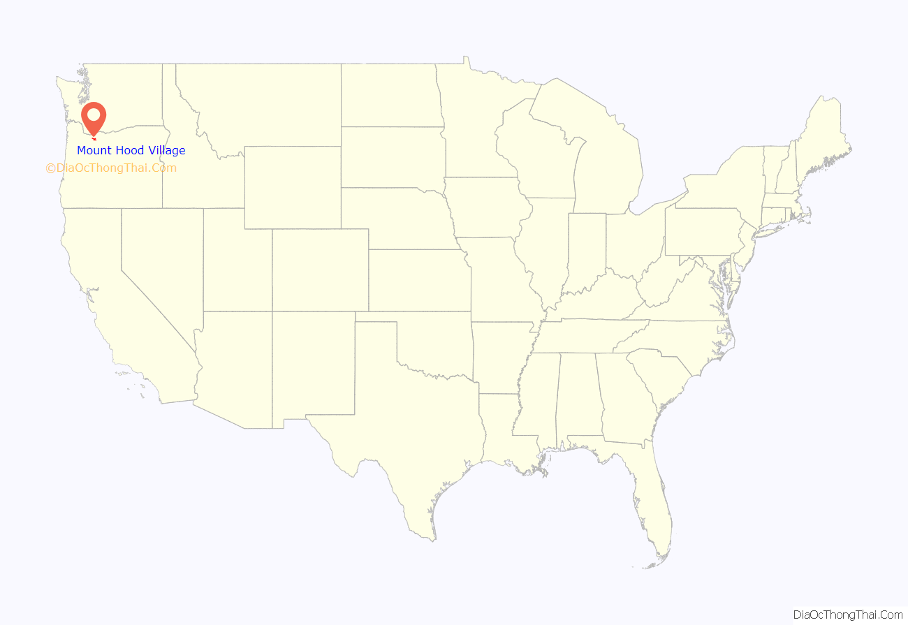
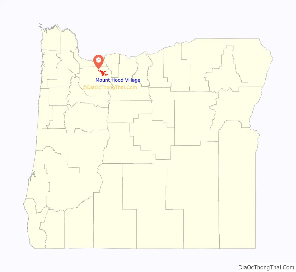
Mount Hood Village location map. Where is Mount Hood Village CDP?
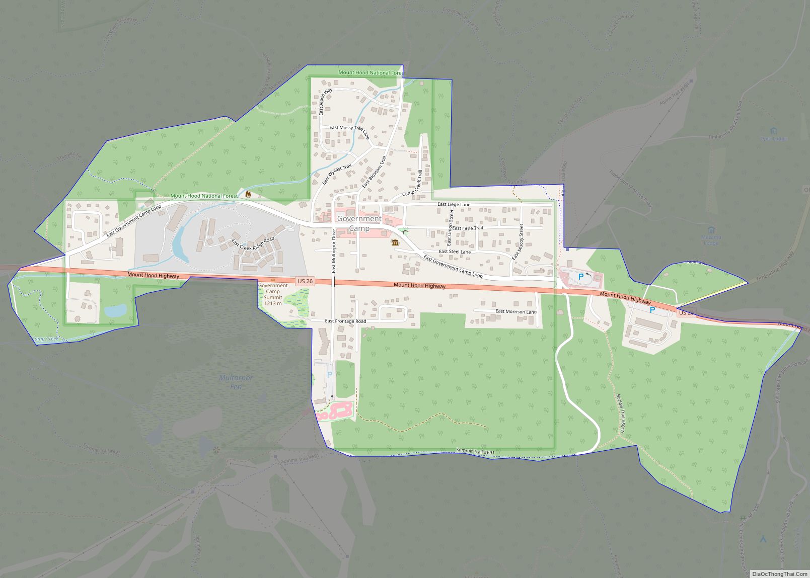
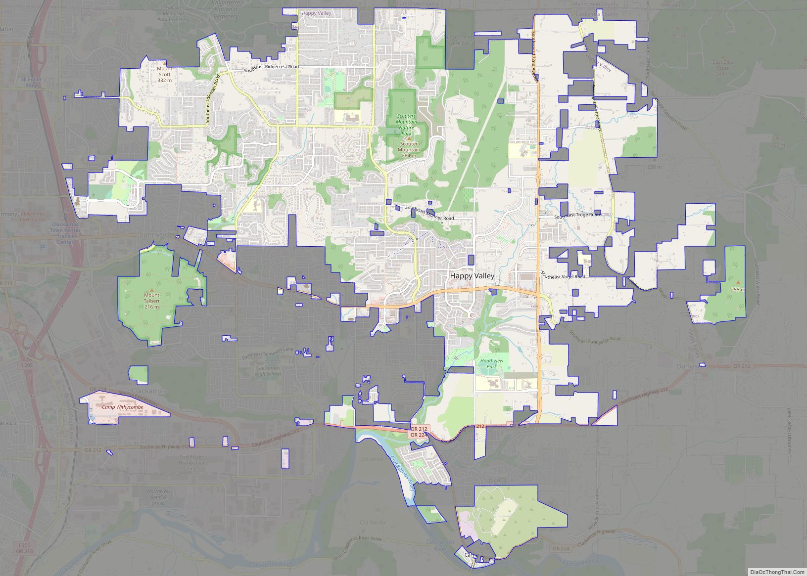
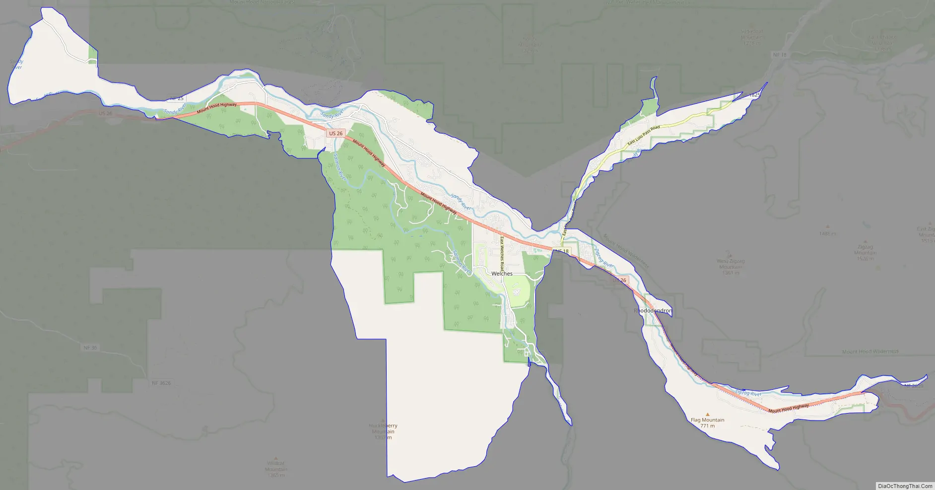
Mount Hood Village Road Map
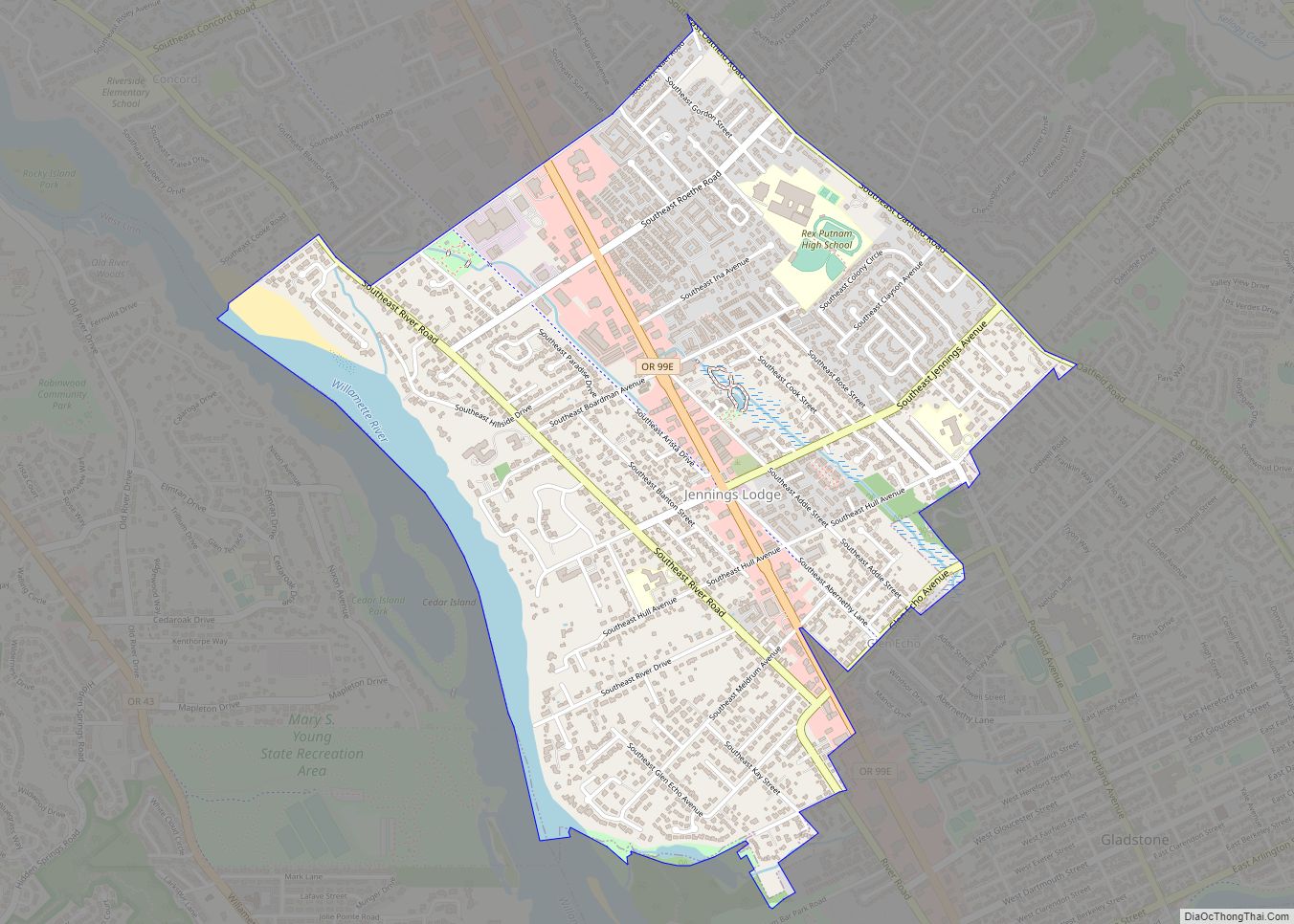
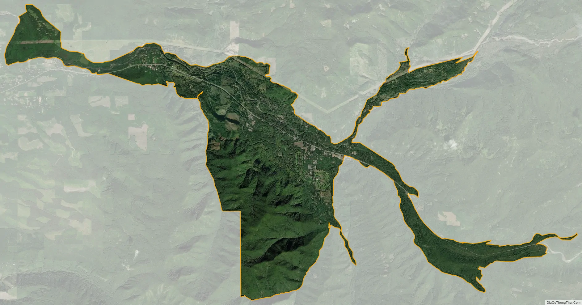
Mount Hood Village city Satellite Map
Geography
The CDP includes most of Brightwood, Wemme, Welches, Zigzag, and Rhododendron. Most of the area is immediately north or south of U.S. Route 26, though a spur south into parts of Welches and a spur north along East Lolo Pass Road is also included.
According to the United States Census Bureau, the CDP has a total area of 26.1 square miles (67.7 km), all land.
See also
Map of Oregon State and its subdivision: Map of other states:- Alabama
- Alaska
- Arizona
- Arkansas
- California
- Colorado
- Connecticut
- Delaware
- District of Columbia
- Florida
- Georgia
- Hawaii
- Idaho
- Illinois
- Indiana
- Iowa
- Kansas
- Kentucky
- Louisiana
- Maine
- Maryland
- Massachusetts
- Michigan
- Minnesota
- Mississippi
- Missouri
- Montana
- Nebraska
- Nevada
- New Hampshire
- New Jersey
- New Mexico
- New York
- North Carolina
- North Dakota
- Ohio
- Oklahoma
- Oregon
- Pennsylvania
- Rhode Island
- South Carolina
- South Dakota
- Tennessee
- Texas
- Utah
- Vermont
- Virginia
- Washington
- West Virginia
- Wisconsin
- Wyoming