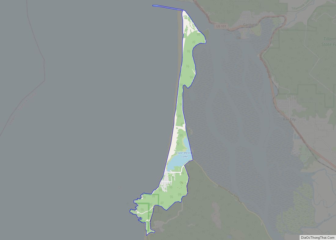
Oceanside is a census-designated place (CDP) and unincorporated community in Tillamook County, Oregon, United States. The population was 361 at the 2010 census. Oregon Route 131’s northern terminus is in the community, which is just north of Netarts. Symons State Park is in Oceanside, while Three Arch Rocks National Wildlife Refuge lies just offshore.
| Name: | Oceanside CDP |
|---|---|
| LSAD Code: | 57 |
| LSAD Description: | CDP (suffix) |
| State: | Oregon |
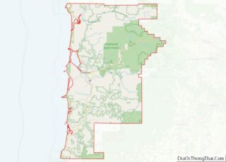
| County: | Tillamook County |
| Elevation: | 148 ft (45 m) |
| Total Area: | 1.04 sq mi (2.69 km²) |
| Land Area: | 1.04 sq mi (2.69 km²) |
| Water Area: | 0.00 sq mi (0.00 km²) |
| Total Population: | 366 |
| Population Density: | 352.60/sq mi (136.16/km²) |
| ZIP code: | 97134 |
| Area code: | 503 |
| FIPS code: | 4154450 |
| GNISfeature ID: | 1147137 |
Online Interactive Map
Click on ![]() to view map in "full screen" mode.
to view map in "full screen" mode.
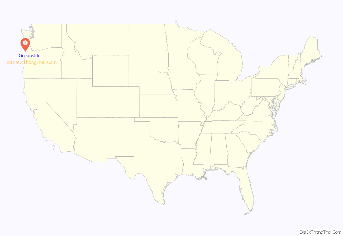
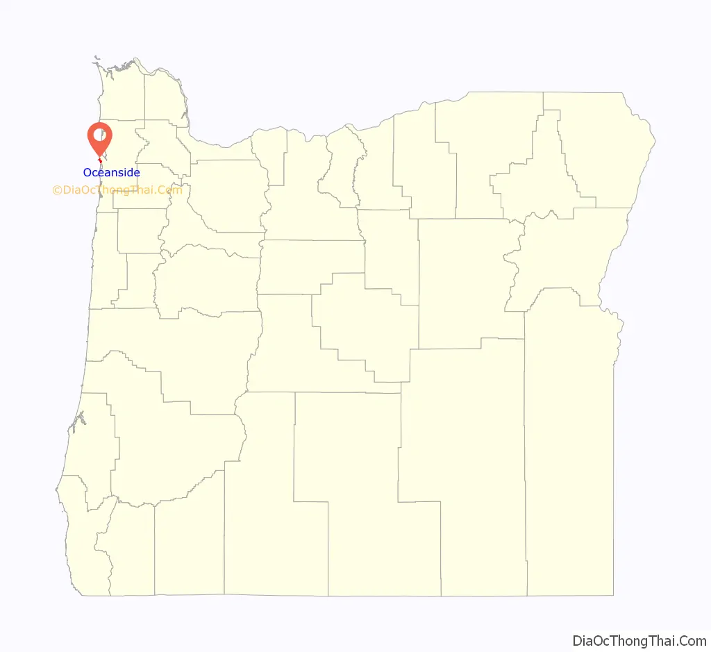
Oceanside location map. Where is Oceanside CDP?
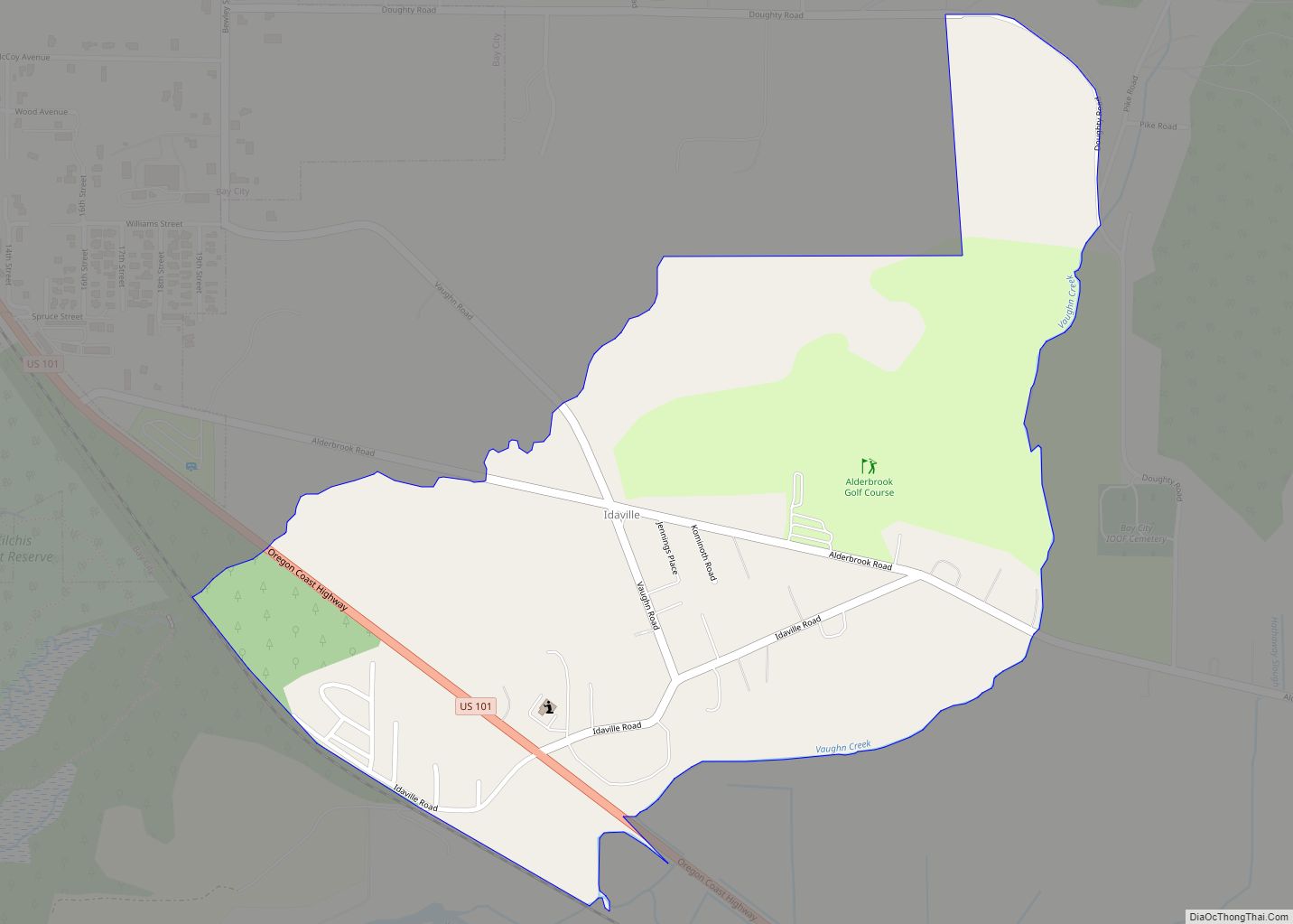
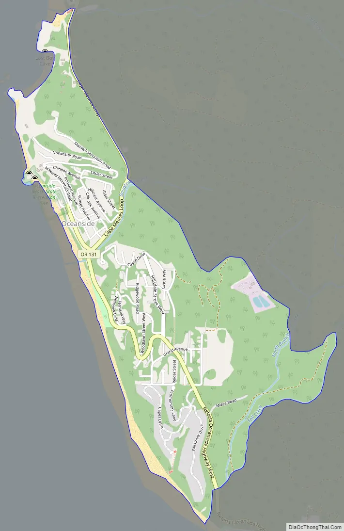
Oceanside Road Map
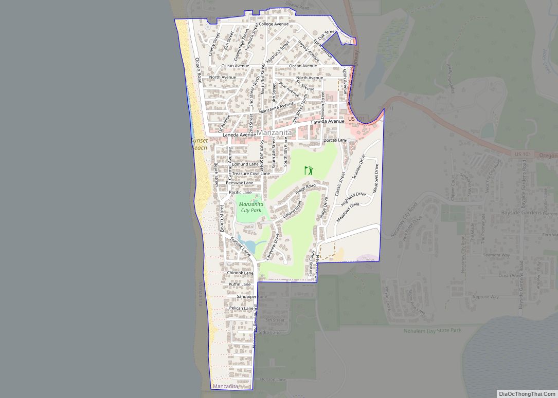
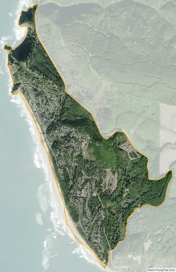
Oceanside city Satellite Map
Geography
Oceanside is located at 45°27′32″N 123°57′58″W / 45.45889°N 123.96611°W / 45.45889; -123.96611 (45.459022, -123.966014). According to the United States Census Bureau, the CDP has a total area of 1.0 square mile (2.6 km), all of it land. The area is located 148 feet (45 m) above sea-level.
See also
Map of Oregon State and its subdivision: Map of other states:- Alabama
- Alaska
- Arizona
- Arkansas
- California
- Colorado
- Connecticut
- Delaware
- District of Columbia
- Florida
- Georgia
- Hawaii
- Idaho
- Illinois
- Indiana
- Iowa
- Kansas
- Kentucky
- Louisiana
- Maine
- Maryland
- Massachusetts
- Michigan
- Minnesota
- Mississippi
- Missouri
- Montana
- Nebraska
- Nevada
- New Hampshire
- New Jersey
- New Mexico
- New York
- North Carolina
- North Dakota
- Ohio
- Oklahoma
- Oregon
- Pennsylvania
- Rhode Island
- South Carolina
- South Dakota
- Tennessee
- Texas
- Utah
- Vermont
- Virginia
- Washington
- West Virginia
- Wisconsin
- Wyoming