Rockaway Beach is a city in Tillamook County, Oregon, United States. The population was 1,312 at the 2010 census.
The city houses the Rockaway Beach Old Growth Cedar Preserve, a 46-acre wetlands preserve which opened in 2019. The preserve has an elevated walkway, which terminates at a large cedar tree known as The Big Tree, which is estimated to be 500–900 years old.
| Name: | Rockaway Beach city |
|---|---|
| LSAD Code: | 25 |
| LSAD Description: | city (suffix) |
| State: | Oregon |
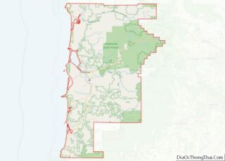
| County: | Tillamook County |
| Incorporated: | 1943 |
| Elevation: | 17 ft (5 m) |
| Total Area: | 1.71 sq mi (4.42 km²) |
| Land Area: | 1.60 sq mi (4.14 km²) |
| Water Area: | 0.11 sq mi (0.28 km²) |
| Total Population: | 1,441 |
| Population Density: | 900.63/sq mi (347.83/km²) |
| ZIP code: | 97136 |
| Area code: | 503 and 971 |
| FIPS code: | 4162900 |
| GNISfeature ID: | 1166705 |
| Website: | www.rockawaybeachor.us |
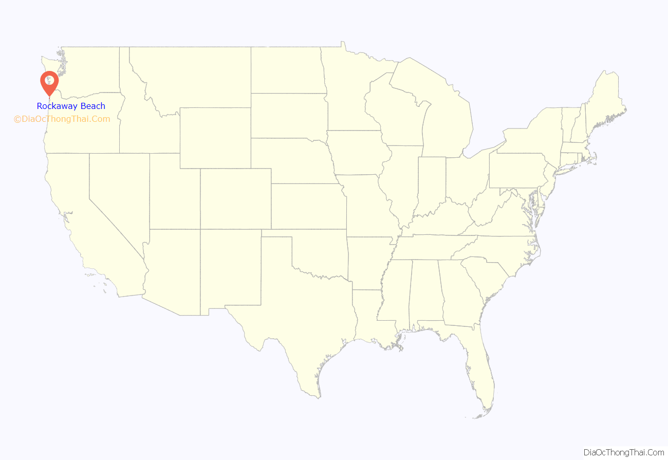
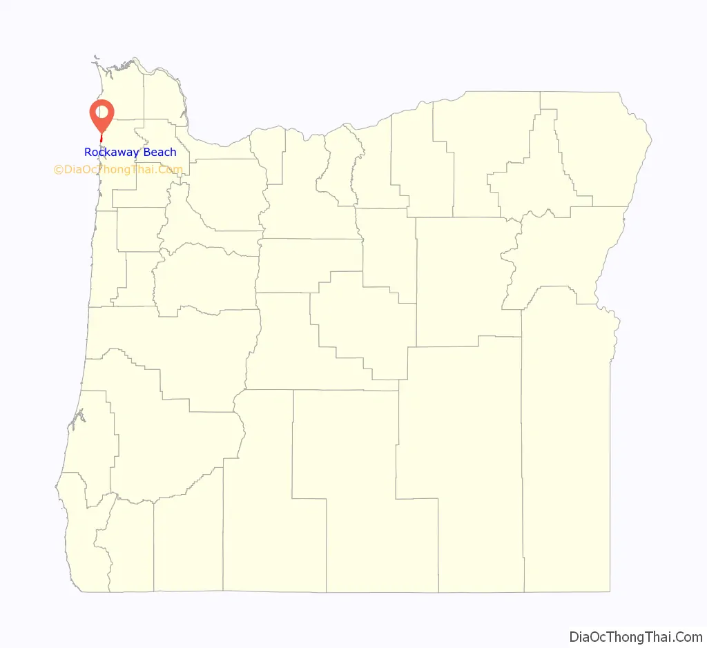
Online Interactive Map
Click on ![]() to view map in "full screen" mode.
to view map in "full screen" mode.
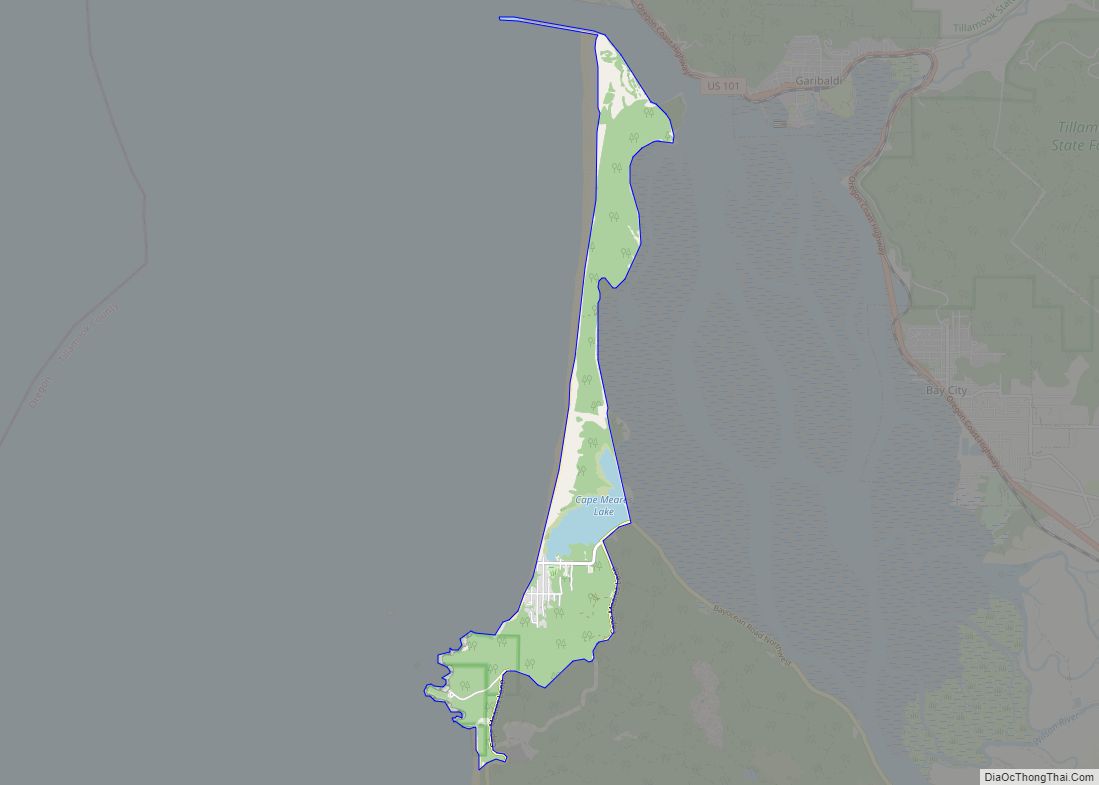
Rockaway Beach location map. Where is Rockaway Beach city?
History
The community of Rockaway was established as a seaside resort in 1909 by the Rockaway Beach Company. It was named after Rockaway Beach on Queens, New York. Rockaway post office was established in 1911. Rockaway was connected by train to Portland in 1912. The name of the city was changed to Rockaway Beach in 1987.
The Pronto Pup, a brand of corn dog, was invented at Rockaway in the late 1930s.
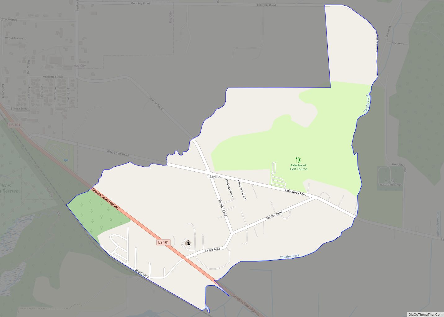
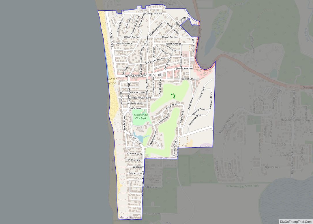
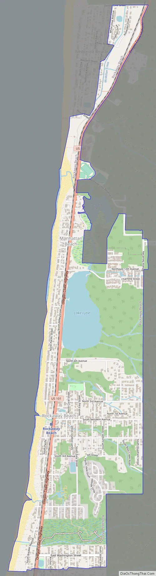
Rockaway Beach Road Map
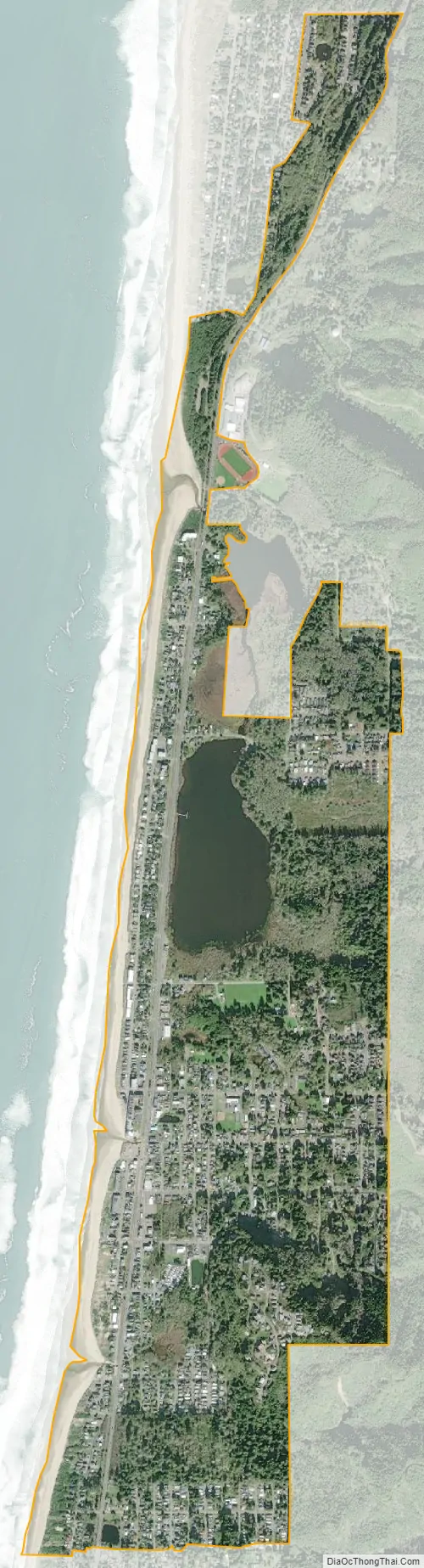
Rockaway Beach city Satellite Map
Geography
According to the United States Census Bureau, the city has a total area of 1.71 square miles (4.43 km), of which, 1.60 square miles (4.14 km) is land and 0.11 square miles (0.28 km) is water.
See also
Map of Oregon State and its subdivision: Map of other states:- Alabama
- Alaska
- Arizona
- Arkansas
- California
- Colorado
- Connecticut
- Delaware
- District of Columbia
- Florida
- Georgia
- Hawaii
- Idaho
- Illinois
- Indiana
- Iowa
- Kansas
- Kentucky
- Louisiana
- Maine
- Maryland
- Massachusetts
- Michigan
- Minnesota
- Mississippi
- Missouri
- Montana
- Nebraska
- Nevada
- New Hampshire
- New Jersey
- New Mexico
- New York
- North Carolina
- North Dakota
- Ohio
- Oklahoma
- Oregon
- Pennsylvania
- Rhode Island
- South Carolina
- South Dakota
- Tennessee
- Texas
- Utah
- Vermont
- Virginia
- Washington
- West Virginia
- Wisconsin
- Wyoming