Scotts Mills is a city in Marion County, Oregon, United States. The population was 419 at the 2020 census. It is 2 miles (3 km) south of Marquam and Oregon Route 213, between Silverton and Molalla.
Scotts Mills is part of the Salem Metropolitan Statistical Area. It is near the site of the 1993 Scotts Mills earthquake.
| Name: | Scotts Mills city |
|---|---|
| LSAD Code: | 25 |
| LSAD Description: | city (suffix) |
| State: | Oregon |
| County: | Marion County |
| Incorporated: | 1916 |
| Elevation: | 499 ft (152 m) |
| Total Area: | 0.36 sq mi (0.93 km²) |
| Land Area: | 0.36 sq mi (0.93 km²) |
| Water Area: | 0.00 sq mi (0.00 km²) |
| Total Population: | 419 |
| Population Density: | 1,160.66/sq mi (448.42/km²) |
| ZIP code: | 97375 |
| Area code: | 503 |
| FIPS code: | 4165800 |
| GNISfeature ID: | 2411843 |
| Website: | scottsmills.org |
Online Interactive Map
Click on ![]() to view map in "full screen" mode.
to view map in "full screen" mode.
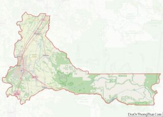
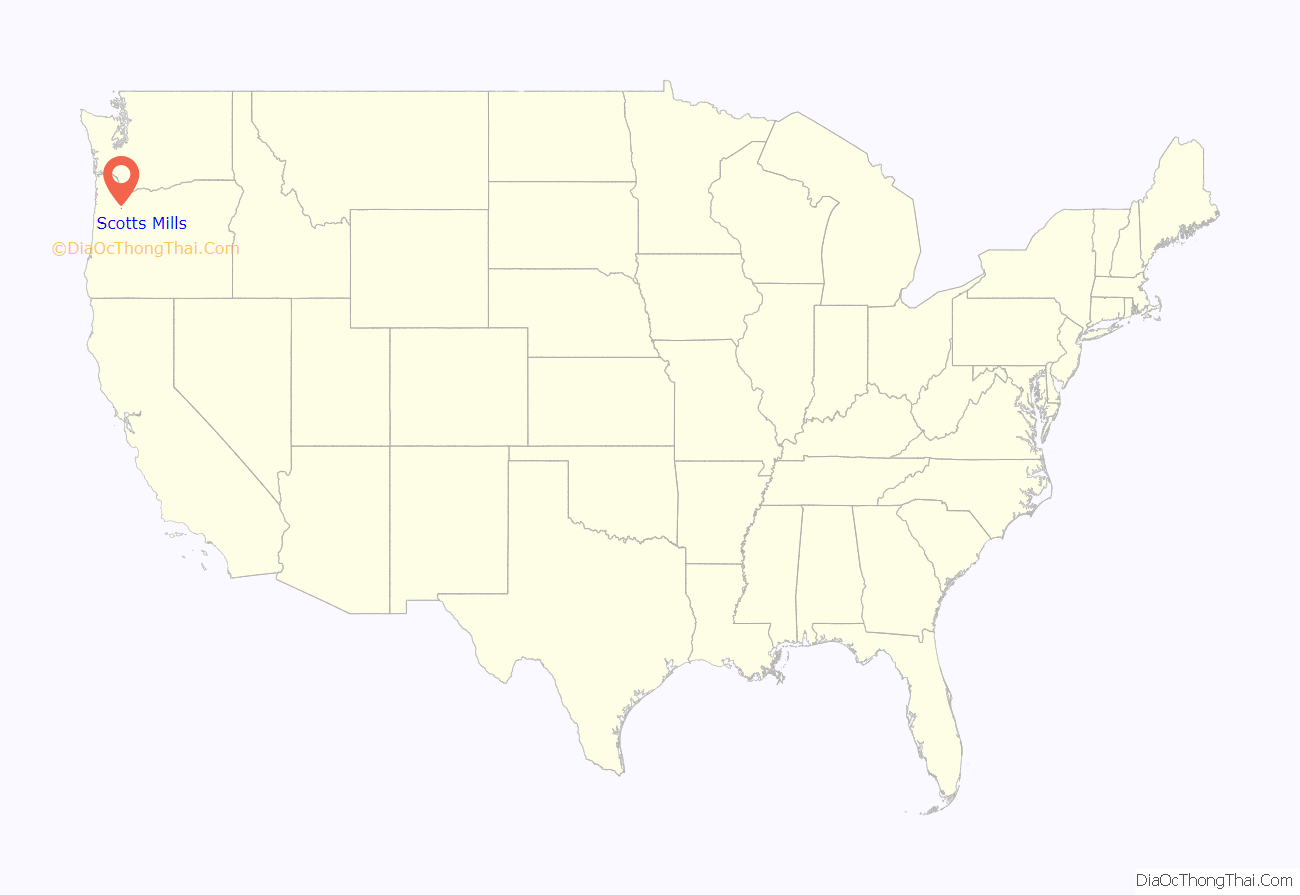
Scotts Mills location map. Where is Scotts Mills city?
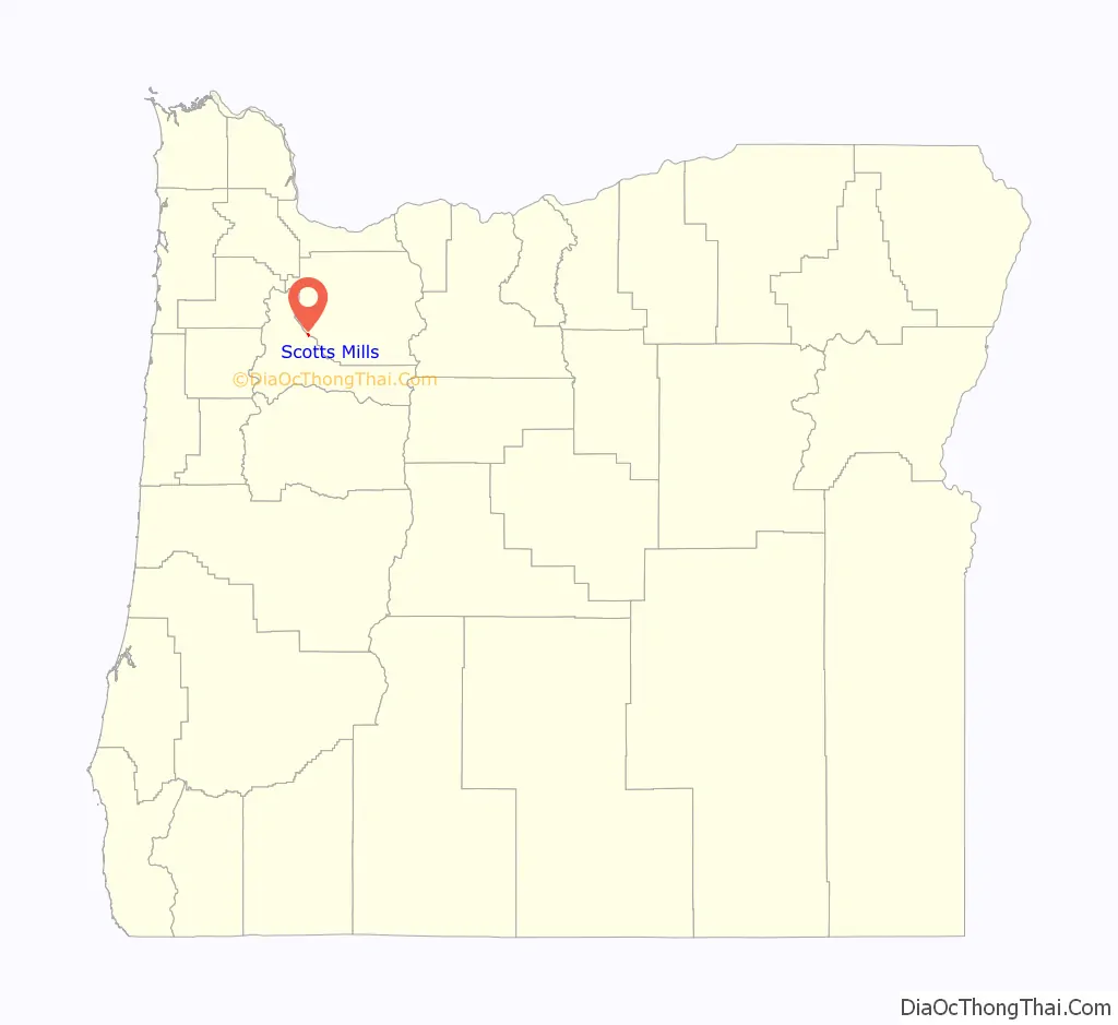
Scotts Mills Road Map
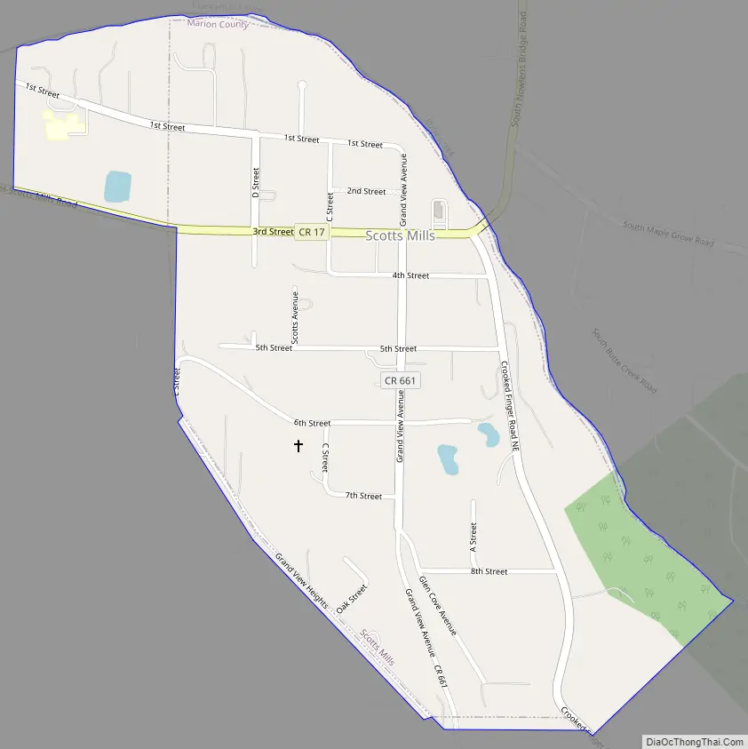
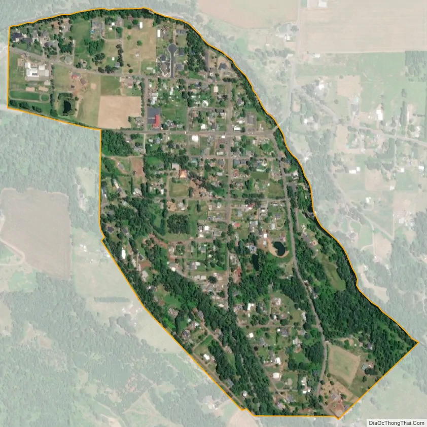
Scotts Mills city Satellite Map
Geography
According to the United States Census Bureau, the city has a total area of 0.36 square miles (0.93 km), all of it land.
Butte Creek flows just to the east of Scotts Mills as it makes its way north to join the Pudding River.
See also
Map of Oregon State and its subdivision: Map of other states:- Alabama
- Alaska
- Arizona
- Arkansas
- California
- Colorado
- Connecticut
- Delaware
- District of Columbia
- Florida
- Georgia
- Hawaii
- Idaho
- Illinois
- Indiana
- Iowa
- Kansas
- Kentucky
- Louisiana
- Maine
- Maryland
- Massachusetts
- Michigan
- Minnesota
- Mississippi
- Missouri
- Montana
- Nebraska
- Nevada
- New Hampshire
- New Jersey
- New Mexico
- New York
- North Carolina
- North Dakota
- Ohio
- Oklahoma
- Oregon
- Pennsylvania
- Rhode Island
- South Carolina
- South Dakota
- Tennessee
- Texas
- Utah
- Vermont
- Virginia
- Washington
- West Virginia
- Wisconsin
- Wyoming