St. Paul is a city in Marion County, Oregon, United States. It is named after the Saint Paul Mission founded by Archbishop François Norbert Blanchet, who arrived in the Oregon Country in 1838 to minister to the Catholic inhabitants of French Prairie. The population was 434 at the 2020 census. The city is part of the Salem Metropolitan Statistical Area.
| Name: | St. Paul city |
|---|---|
| LSAD Code: | 25 |
| LSAD Description: | city (suffix) |
| State: | Oregon |
| County: | Marion County |
| Incorporated: | 1901 |
| Elevation: | 169 ft (51.5 m) |
| Total Area: | 0.29 sq mi (0.76 km²) |
| Land Area: | 0.29 sq mi (0.76 km²) |
| Water Area: | 0.00 sq mi (0.00 km²) |
| Total Population: | 434 |
| Population Density: | 1,476.19/sq mi (569.49/km²) |
| ZIP code: | 97137 |
| Area code: | 503 and 971 |
| FIPS code: | 4164850 |
| GNISfeature ID: | 1163248 |
Online Interactive Map
Click on ![]() to view map in "full screen" mode.
to view map in "full screen" mode.
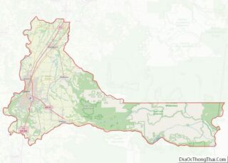
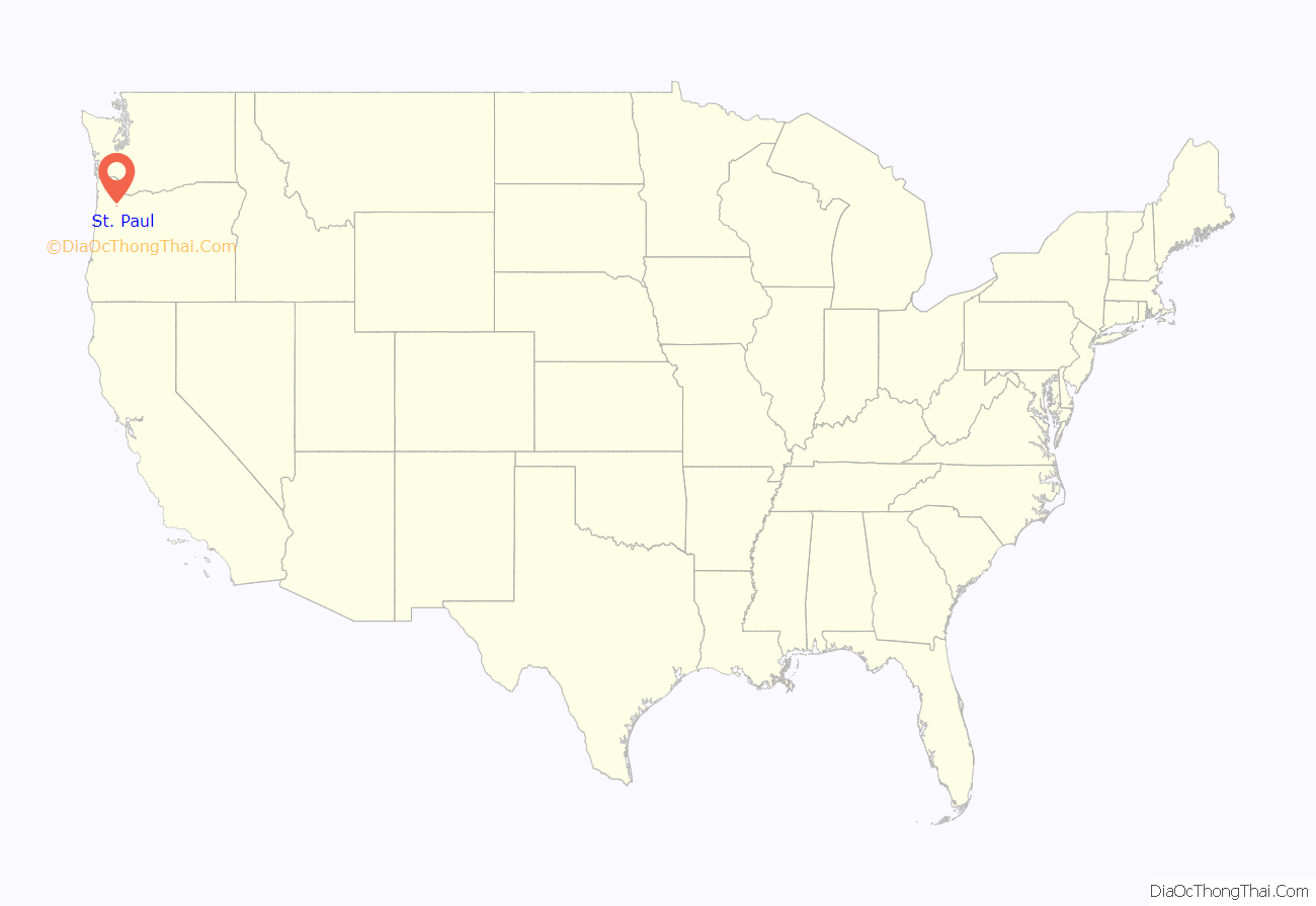
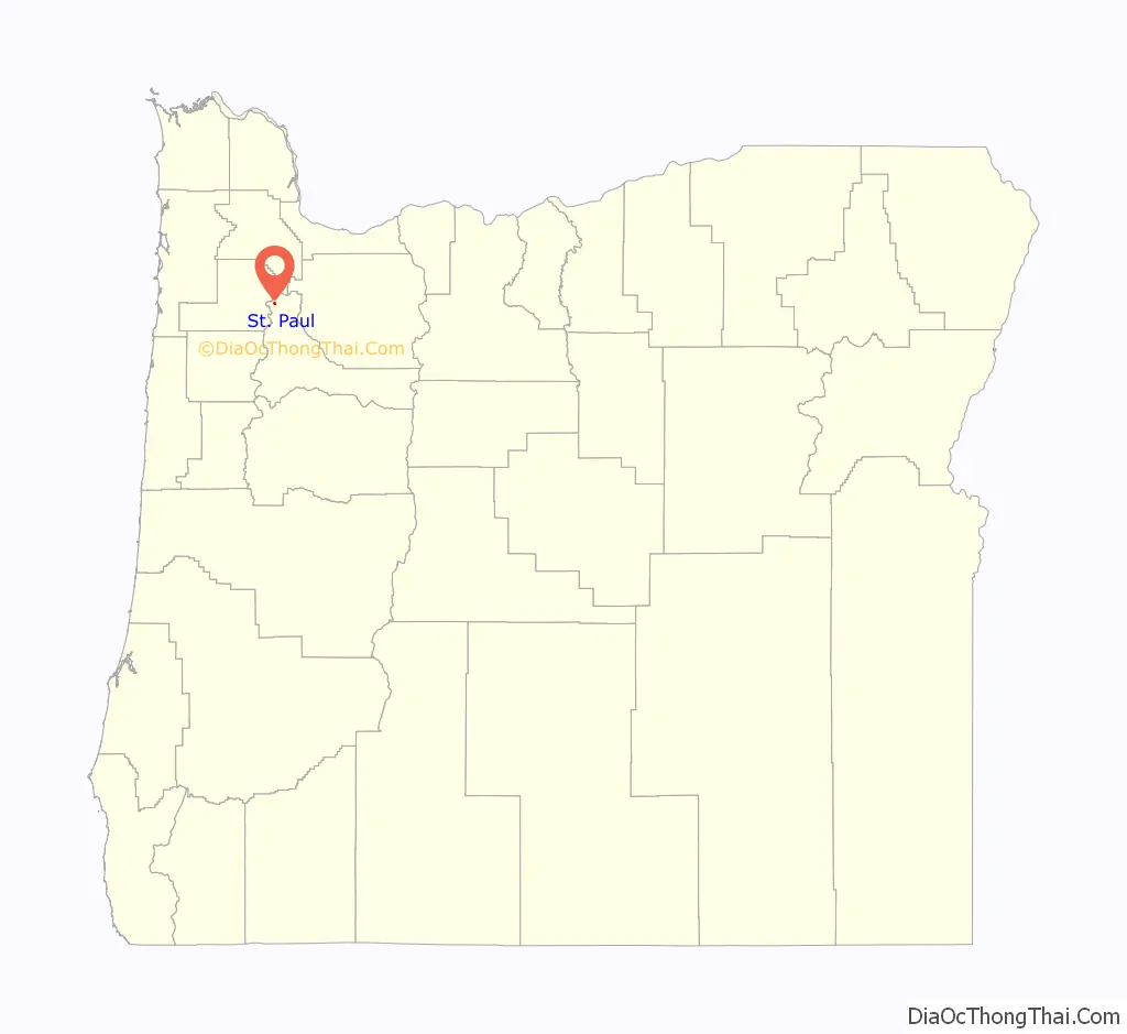
St. Paul location map. Where is St. Paul city?
History
French Prairie settlers built a log church near this locale in 1836. On January 6, 1839, Father (later Archbishop) Blanchet celebrated the first Catholic mass in Oregon at St. Paul, when he blessed the log church and dedicated it to St. Paul.
St. Paul Roman Catholic Church was built in 1846 and is the oldest brick building in the Pacific Northwest.
St. Paul post office was established in 1874. The city was incorporated in 1901.
Pioneer cemetery
St. Paul Pioneer Cemetery, founded in 1839, is the burial location for William Cannon, the only authenticated Revolutionary War veteran buried in Oregon. He had arrived in Oregon in 1811 as part of John Jacob Astor’s American Fur Company. His is the only grave marked with an upright headstone in the cemetery. Only one other grave is marked; the rest of the grave markers were mistakenly bulldozed in the 1930s.
Along with Cannon, 535 other early settlers and Native Americans are buried in the pioneer cemetery, including Étienne Lucier, known as “The Father of Oregon Agriculture”, and François Rivet and Philippe Degre who claimed to be members of the Lewis and Clark Expedition. Rivet had accompanied the expedition as far as Fort Mandan, and Degre attached himself in to the company while they wintered there in 1804–1805.
A wall of remembrance in the cemetery was dedicated in 2005, with members of the Confederated Tribes of the Grand Ronde Community of Oregon as honored guests. Early French Canadian settlers often married women from the local tribes, which included the Clackamas, Molala and Kalapuya.
Archbishop Blanchet was originally buried in the pioneer cemetery, but his remains were later moved to St. Paul Catholic Cemetery a few blocks away. The new cemetery was founded in 1875 and includes a “Nuns Corner”, where several sisters who had originally been buried in a corner of the convent garden were reinterred. Early settler and provisional legislator William J. Bailey is also buried at the new cemetery.
St. Paul Road Map
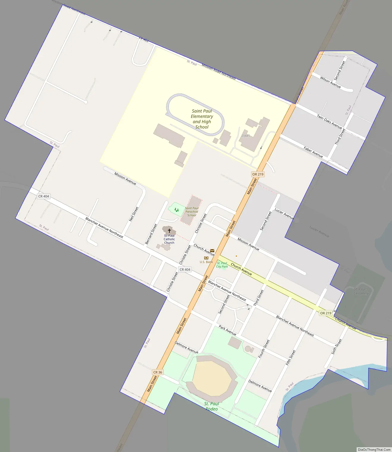
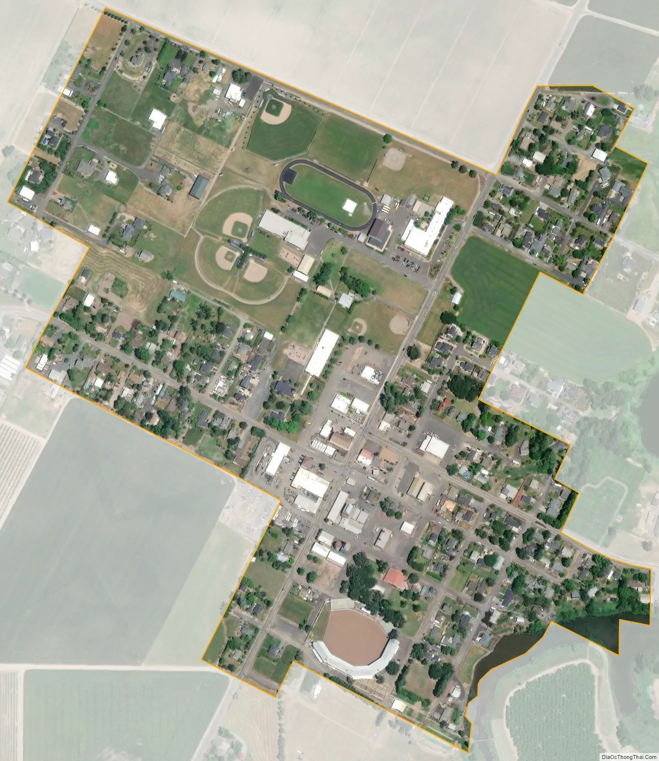
St. Paul city Satellite Map
Geography
According to the United States Census Bureau, the city has a total area of 0.29 square miles (0.75 km), all of it land.
The city is near Mission Creek, a tributary of Champoeg Creek, which flows into the Willamette River.
See also
Map of Oregon State and its subdivision: Map of other states:- Alabama
- Alaska
- Arizona
- Arkansas
- California
- Colorado
- Connecticut
- Delaware
- District of Columbia
- Florida
- Georgia
- Hawaii
- Idaho
- Illinois
- Indiana
- Iowa
- Kansas
- Kentucky
- Louisiana
- Maine
- Maryland
- Massachusetts
- Michigan
- Minnesota
- Mississippi
- Missouri
- Montana
- Nebraska
- Nevada
- New Hampshire
- New Jersey
- New Mexico
- New York
- North Carolina
- North Dakota
- Ohio
- Oklahoma
- Oregon
- Pennsylvania
- Rhode Island
- South Carolina
- South Dakota
- Tennessee
- Texas
- Utah
- Vermont
- Virginia
- Washington
- West Virginia
- Wisconsin
- Wyoming