Turner is a city in Marion County, Oregon, United States. The population was 2,454 at the 2020 census. It is part of the Salem Metropolitan Statistical Area. The community was incorporated by the Oregon Legislative Assembly on February 10, 1905.
Since 1971, it is the location of the Enchanted Forest amusement park.
| Name: | Turner city |
|---|---|
| LSAD Code: | 25 |
| LSAD Description: | city (suffix) |
| State: | Oregon |
| County: | Marion County |
| Incorporated: | 1905 |
| Elevation: | 287 ft (87 m) |
| Total Area: | 1.45 sq mi (3.76 km²) |
| Land Area: | 1.43 sq mi (3.71 km²) |
| Water Area: | 0.02 sq mi (0.05 km²) |
| Total Population: | 2,454 |
| Population Density: | 1,712.49/sq mi (661.26/km²) |
| ZIP code: | 97359, 97392 |
| Area code: | 503 |
| FIPS code: | 4175150 |
| GNISfeature ID: | 1136845 |
| Website: | http://www.cityofturner.org/ |
Online Interactive Map
Click on ![]() to view map in "full screen" mode.
to view map in "full screen" mode.
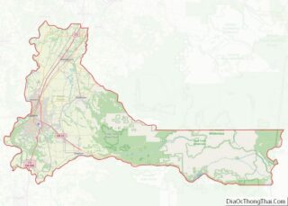
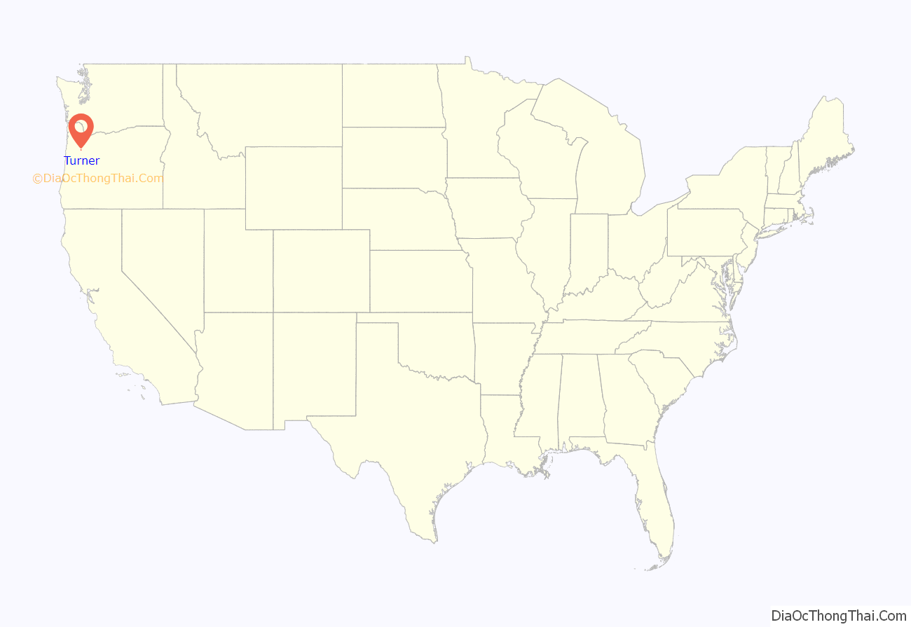
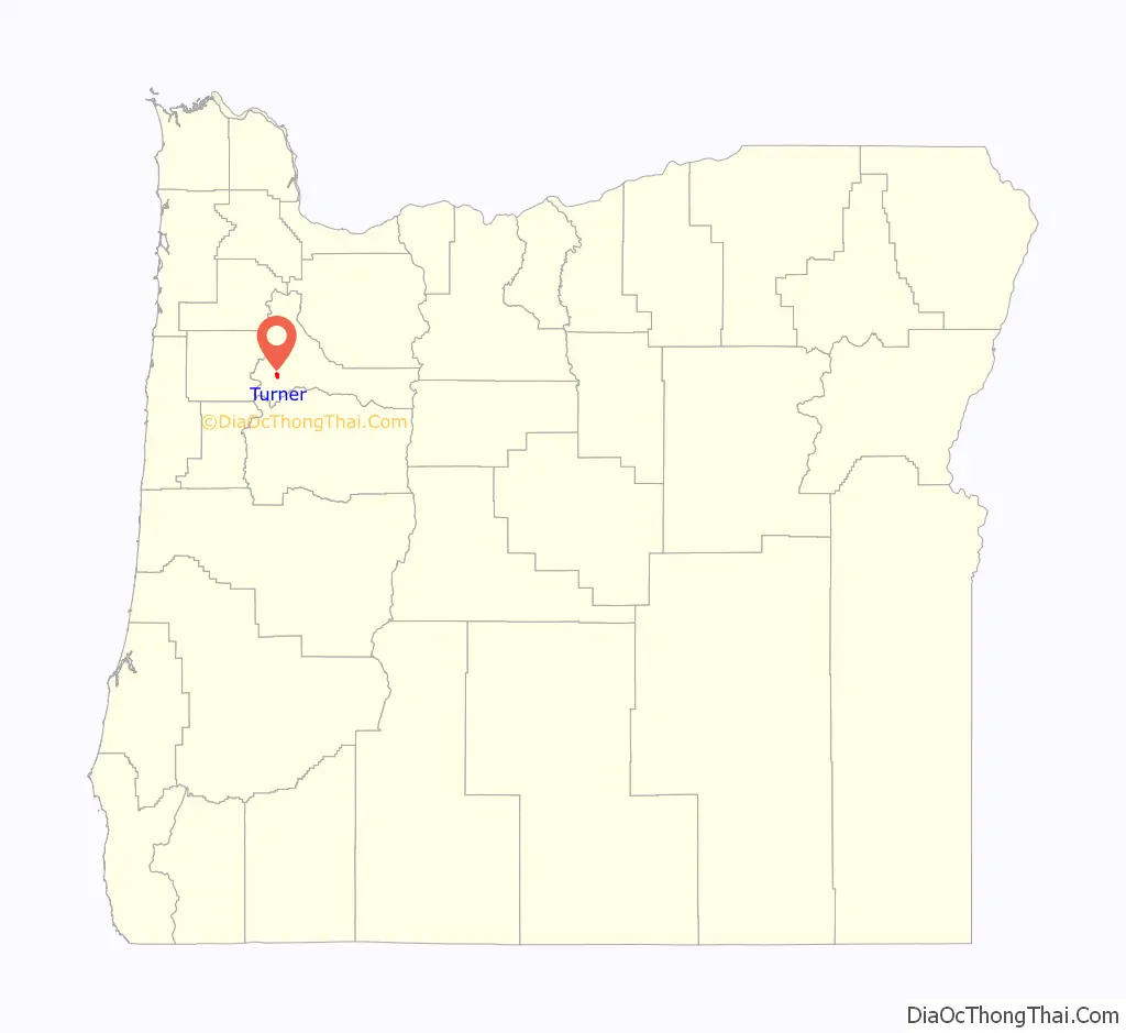
Turner location map. Where is Turner city?
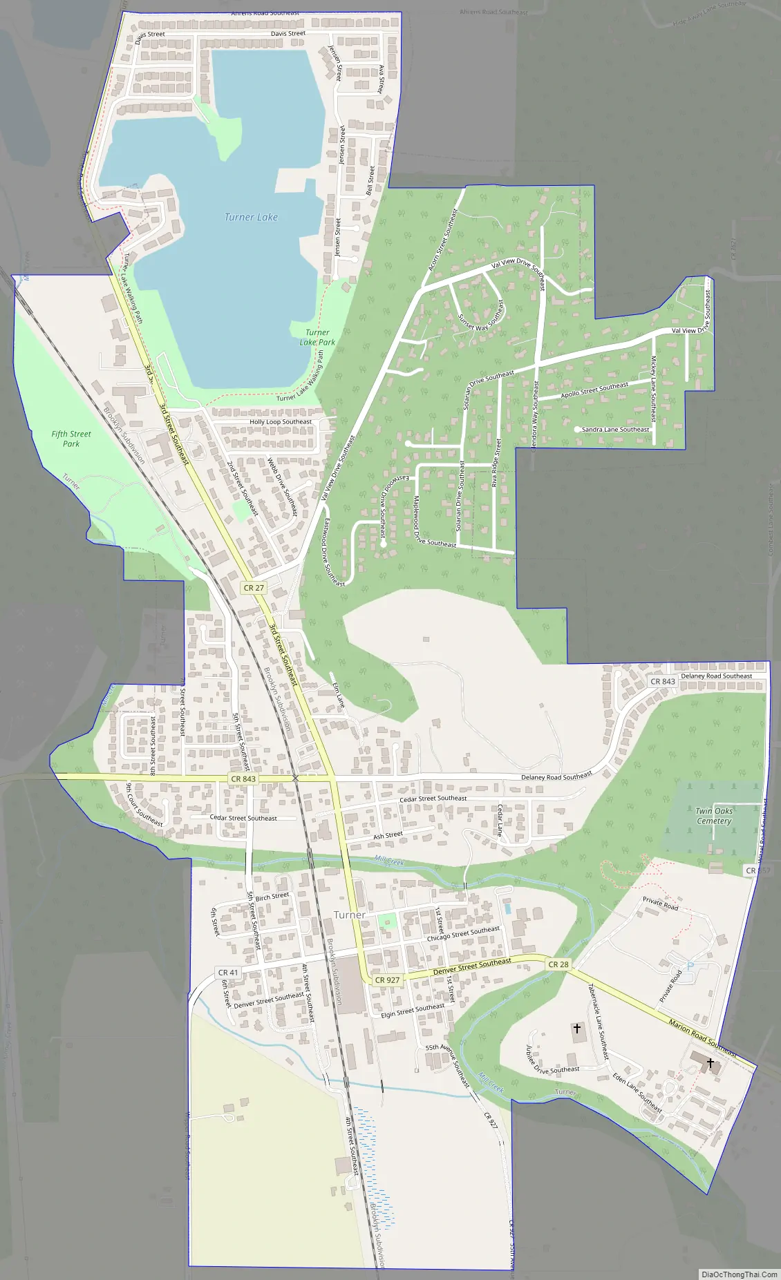
Turner Road Map
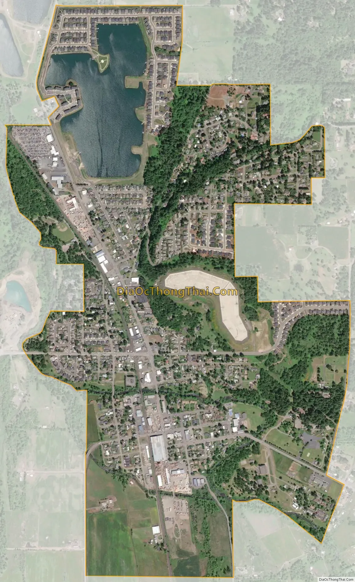
Turner city Satellite Map
Geography
According to the United States Census Bureau, the city has a total area of 1.45 square miles (3.76 km), of which, 1.43 square miles (3.70 km) is land and 0.02 square miles (0.05 km) is water. Turner is situated near Mill Creek, a Tributary of Willamette.
See also
Map of Oregon State and its subdivision: Map of other states:- Alabama
- Alaska
- Arizona
- Arkansas
- California
- Colorado
- Connecticut
- Delaware
- District of Columbia
- Florida
- Georgia
- Hawaii
- Idaho
- Illinois
- Indiana
- Iowa
- Kansas
- Kentucky
- Louisiana
- Maine
- Maryland
- Massachusetts
- Michigan
- Minnesota
- Mississippi
- Missouri
- Montana
- Nebraska
- Nevada
- New Hampshire
- New Jersey
- New Mexico
- New York
- North Carolina
- North Dakota
- Ohio
- Oklahoma
- Oregon
- Pennsylvania
- Rhode Island
- South Carolina
- South Dakota
- Tennessee
- Texas
- Utah
- Vermont
- Virginia
- Washington
- West Virginia
- Wisconsin
- Wyoming