Kaysville is a city in Davis County, Utah. It is part of the Ogden–Clearfield metropolitan area. The population was 27,300 at the time of the 2010 census, with an estimated population of 32,390 in 2019.
| Name: | Kaysville city |
|---|---|
| LSAD Code: | 25 |
| LSAD Description: | city (suffix) |
| State: | Utah |
| County: | Davis County |
| Elevation: | 4,357 ft (1,328 m) |
| Total Area: | 10.54 sq mi (27.31 km²) |
| Land Area: | 10.50 sq mi (27.20 km²) |
| Water Area: | 0.04 sq mi (0.11 km²) |
| Total Population: | 27,368 |
| Population Density: | 3,084.47/sq mi (1,190.94/km²) |
| ZIP code: | 84037 |
| Area code: | 385, 801 |
| FIPS code: | 4940360 |
| GNISfeature ID: | 1442285 |
| Website: | www.kaysvillecity.com |
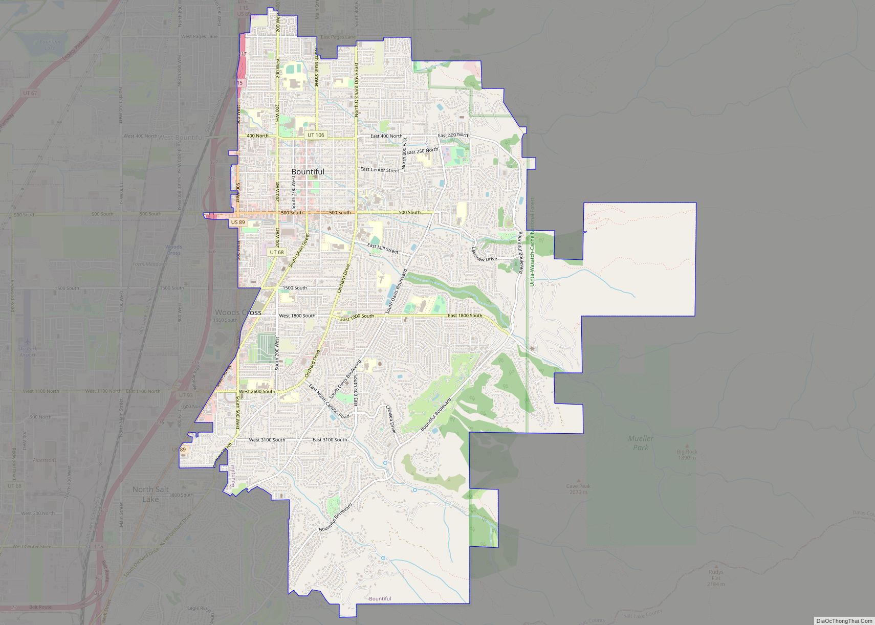
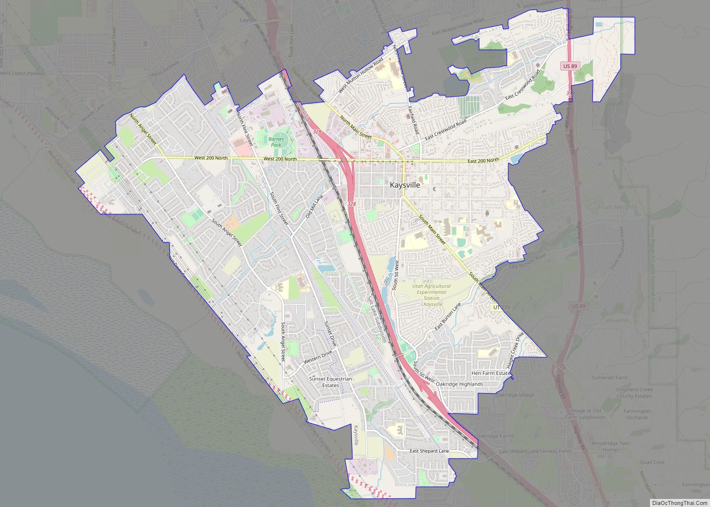
Online Interactive Map
Click on ![]() to view map in "full screen" mode.
to view map in "full screen" mode.
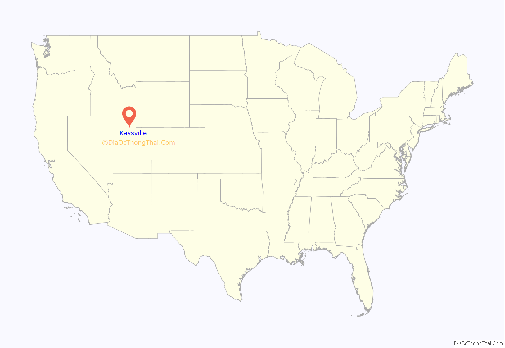
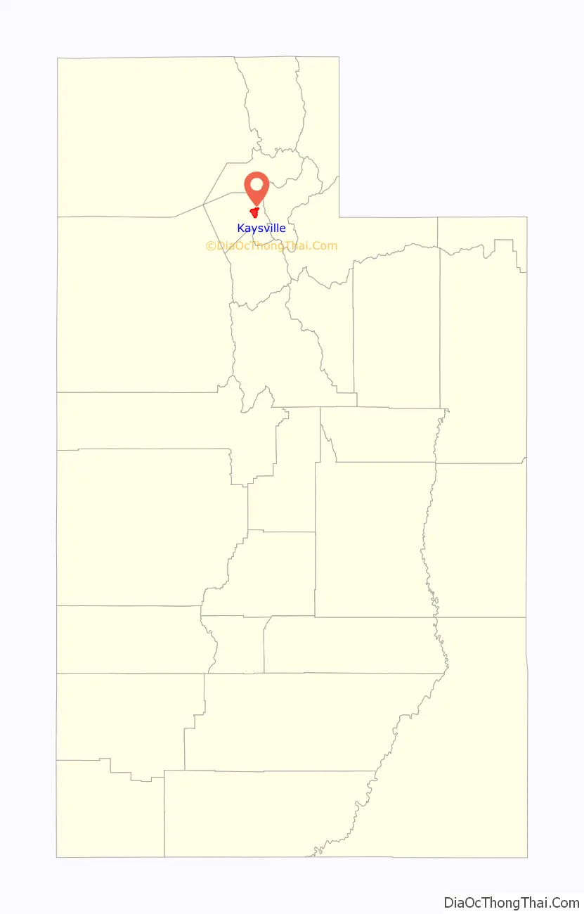
Kaysville location map. Where is Kaysville city?
History
Shortly after Latter Day Saint pioneers arrived in 1847, the Kaysville area, originally known as “Kay’s Creek” or Kay’s Ward, was settled by Hector Haight in 1850 as a farming community. He had been sent north to find feed for the stock and soon thereafter constructed a cabin and brought his family to settle the area. Farmington, Utah also claims Hector Haight as its original settler. Two miles north of Haight’s original settlement, Samuel Holmes built a cabin in 1849 and was soon joined by other settlers from Salt Lake, namely Edward Phillips, John Green, and William Kay.
Although settlement began in the 1840s, the name of Kaysville connects with the fact that in 1851 William Kay was made the bishop in the vicinity by Brigham Young and Heber C. Kimball.
After the move south in 1858 (see Utah War), there was an attempt to rename the community “Freedom”, but Brigham Young convinced the residents to retain the old name.
In 1868 Kaysville became the first city incorporated in Davis County.
An adobe meetinghouse was built in 1863. It was replaced by the Kaysville Tabernacle in 1914. In 1930 Kaysville had 992 people. Of those residents who were Latter-Day Saints, they all were in the Kaysville Ward which also covered most of the rest of the Kaysville Precinct.
In 1977 United Airlines Flight 2860 crashed near Kaysville.
By 2008 there were seven Mormon stakes (similar to a diocese) in Kaysville.
In November 2009, Kaysville voters elected Steve Hiatt as Kaysville City’s 38th mayor and the youngest mayor in Utah. He was sworn in on January 4, 2010. He was re-elected for a second four-year term in November 2013.
The current mayor, Tamara Tran, won the 2021 election with 59.95 percent of the popular vote over Jay Welk.
Kaysville Road Map
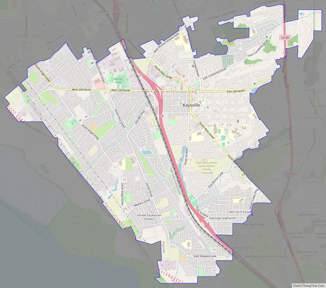
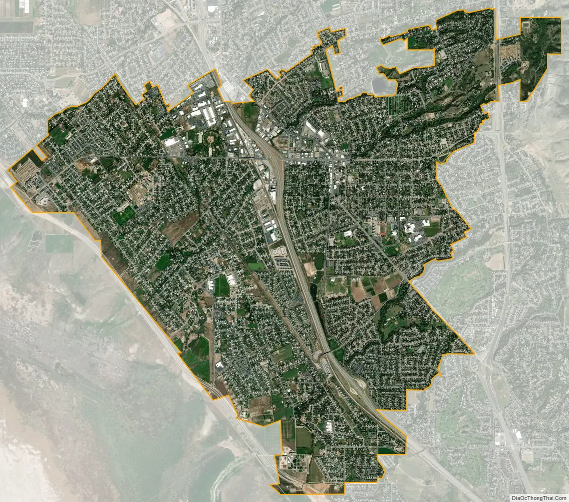
Kaysville city Satellite Map
Geography
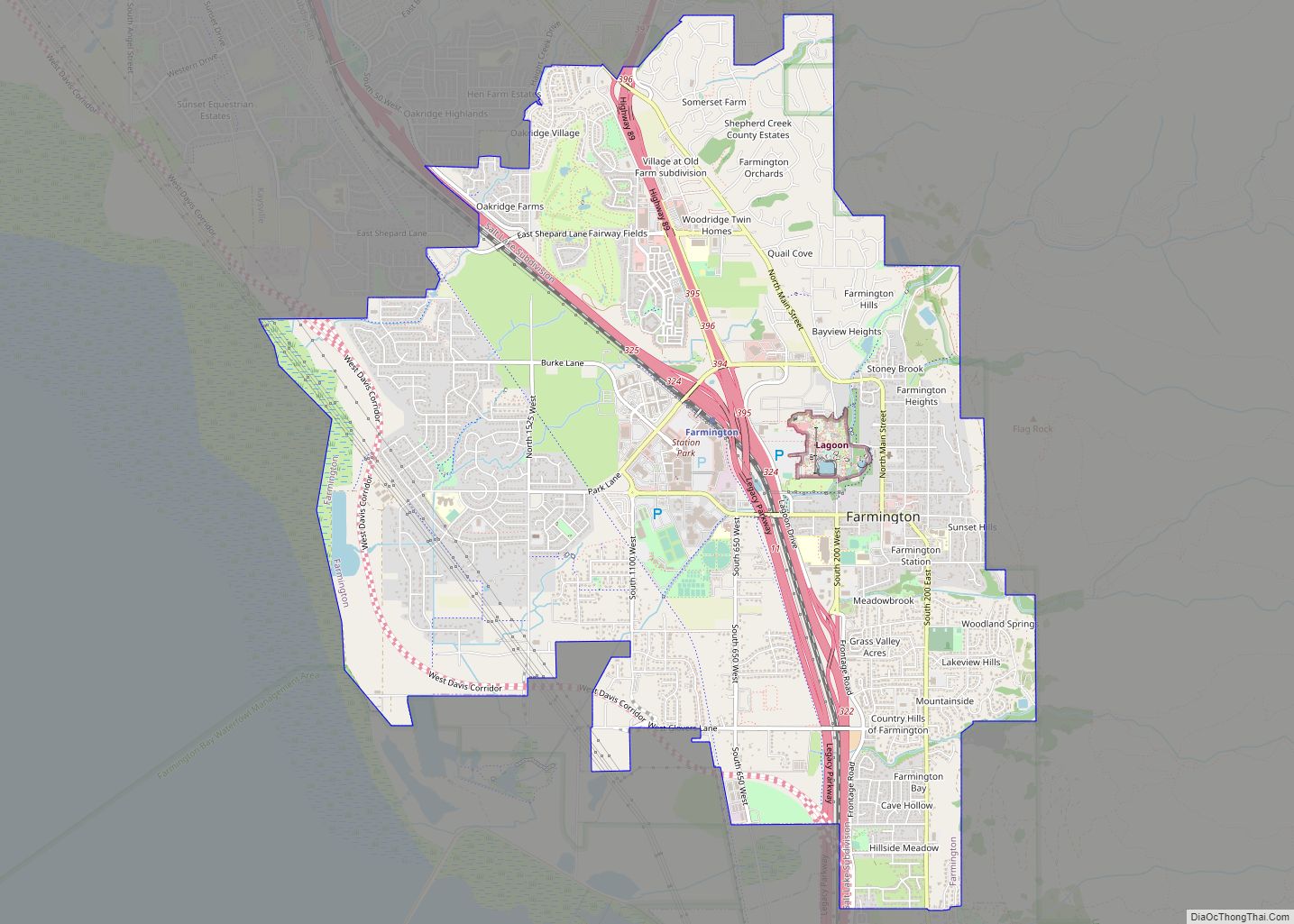
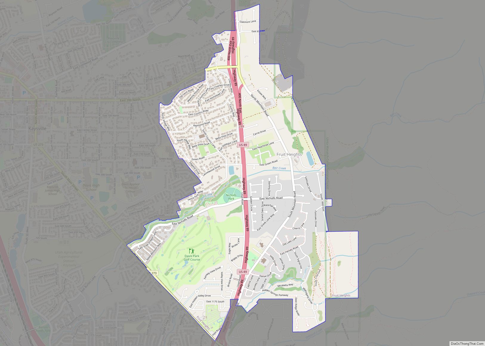
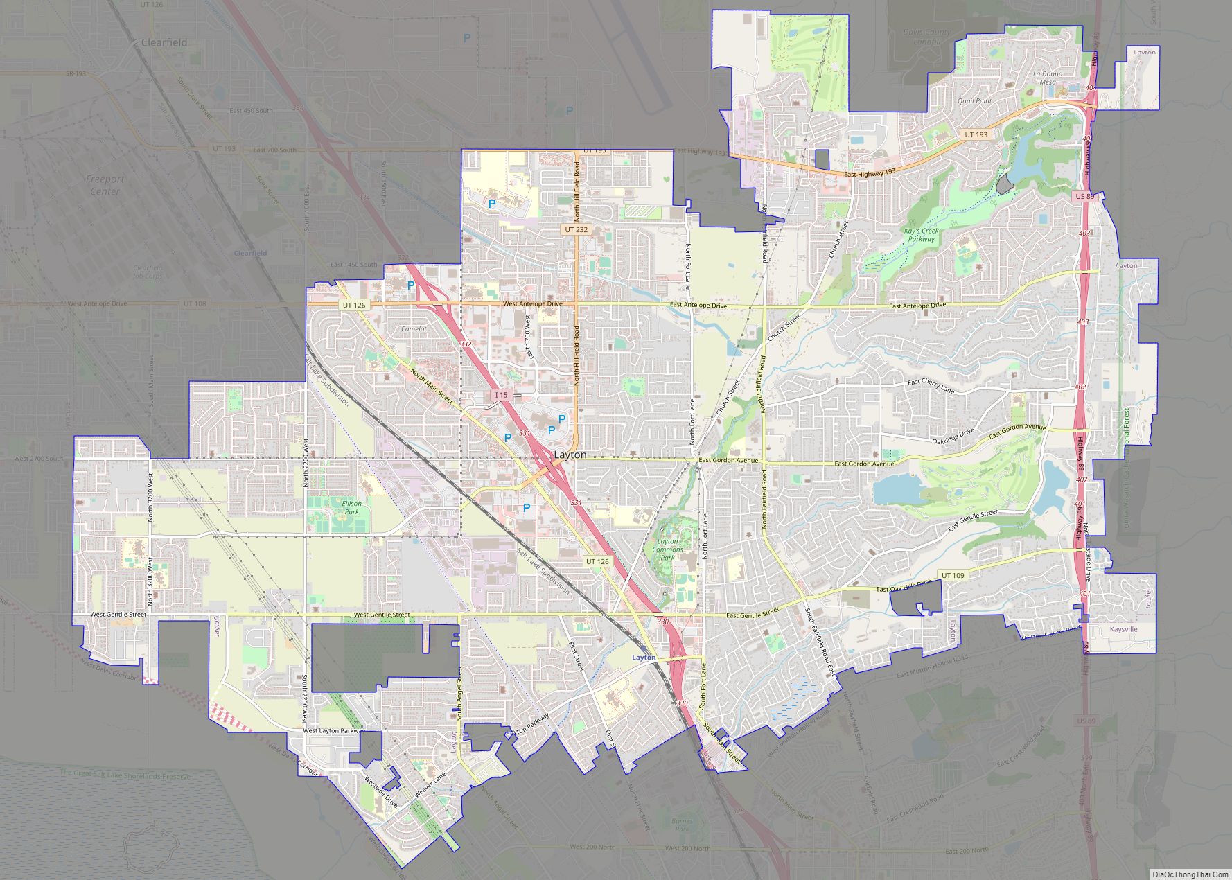
Kaysville is bordered by the city of Layton to the north, Fruit Heights to the east, and Farmington, the county seat, to the south. According to the United States Census Bureau, Kaysville has a total area of 10.5 square miles (27.2 km), of which 0.04 square miles (0.1 km), or 0.48%, is water.
See also
Map of Utah State and its subdivision: Map of other states:- Alabama
- Alaska
- Arizona
- Arkansas
- California
- Colorado
- Connecticut
- Delaware
- District of Columbia
- Florida
- Georgia
- Hawaii
- Idaho
- Illinois
- Indiana
- Iowa
- Kansas
- Kentucky
- Louisiana
- Maine
- Maryland
- Massachusetts
- Michigan
- Minnesota
- Mississippi
- Missouri
- Montana
- Nebraska
- Nevada
- New Hampshire
- New Jersey
- New Mexico
- New York
- North Carolina
- North Dakota
- Ohio
- Oklahoma
- Oregon
- Pennsylvania
- Rhode Island
- South Carolina
- South Dakota
- Tennessee
- Texas
- Utah
- Vermont
- Virginia
- Washington
- West Virginia
- Wisconsin
- Wyoming