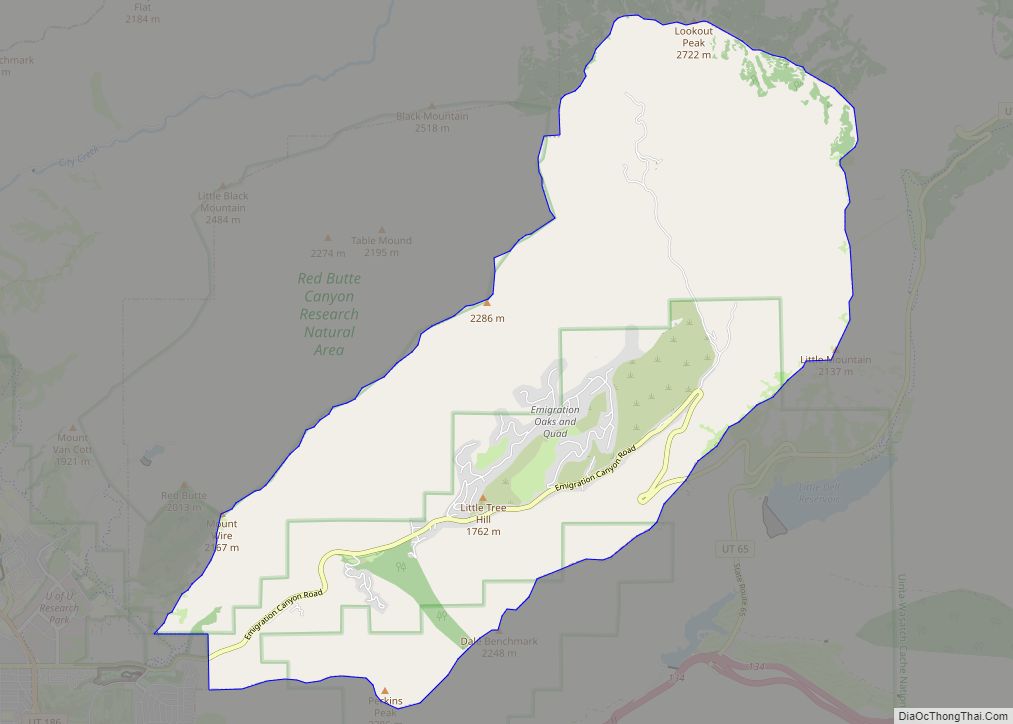
Granite is a census-designated place (CDP) in Salt Lake County, Utah, United States, adjoining the City of Sandy on the east. As of the 2000 census, the CDP population was 2,018, a decrease from the 1990 population of 3,300 largely due to annexations by Sandy. Salt Lake County has designated a Granite “Community Council” for purposes of planning and development. The Granite Community Council includes the area within the CDP as well as the rest of Little Cottonwood Canyon, extending to Snowbird and Alta. In 2009 there was an effort to make Granite a township that ultimately failed.
| Name: | Granite CDP |
|---|---|
| LSAD Code: | 57 |
| LSAD Description: | CDP (suffix) |
| State: | Utah |
| County: | Salt Lake County |
| Elevation: | 5,131 ft (1,564 m) |
| Total Area: | 1.5 sq mi (3.8 km²) |
| Land Area: | 1.5 sq mi (3.8 km²) |
| Water Area: | 0.0 sq mi (0.0 km²) |
| Total Population: | 2,018 |
| Population Density: | 1,374.0/sq mi (530.5/km²) |
| ZIP code: | 84070, 84092 |
| Area code: | 385, 801 |
| FIPS code: | 4930900 |
| GNISfeature ID: | 1428314 |
Online Interactive Map
Click on ![]() to view map in "full screen" mode.
to view map in "full screen" mode.
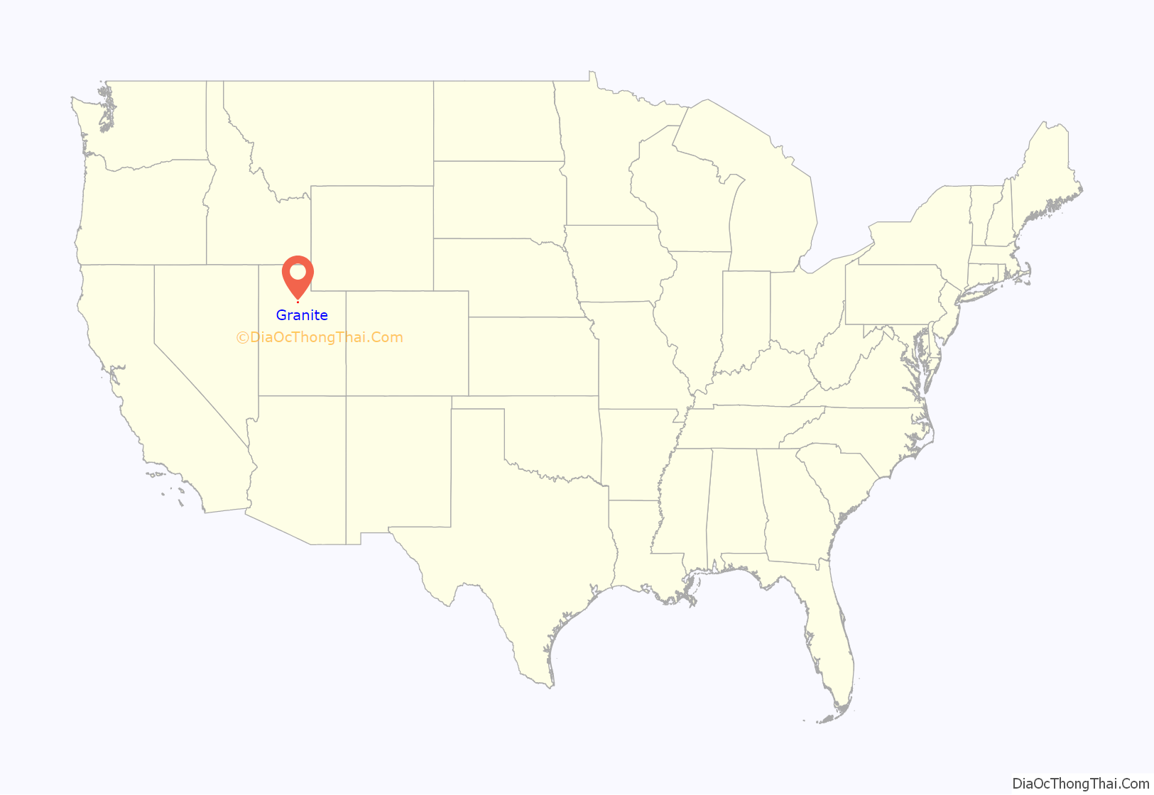
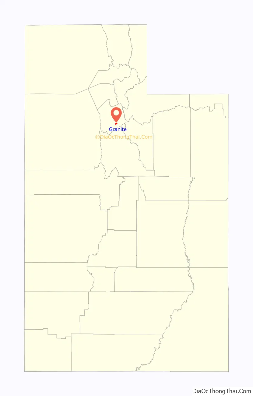
Granite location map. Where is Granite CDP?
History
Granite began as the site of the stone quarry for the Salt Lake Temple in 1859. By 1877 there were also several farmers in the area and an LDS ward was organized.
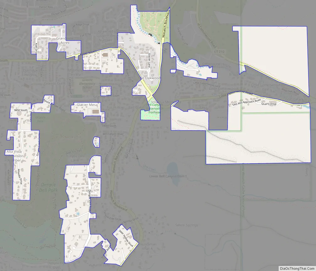
Granite Road Map
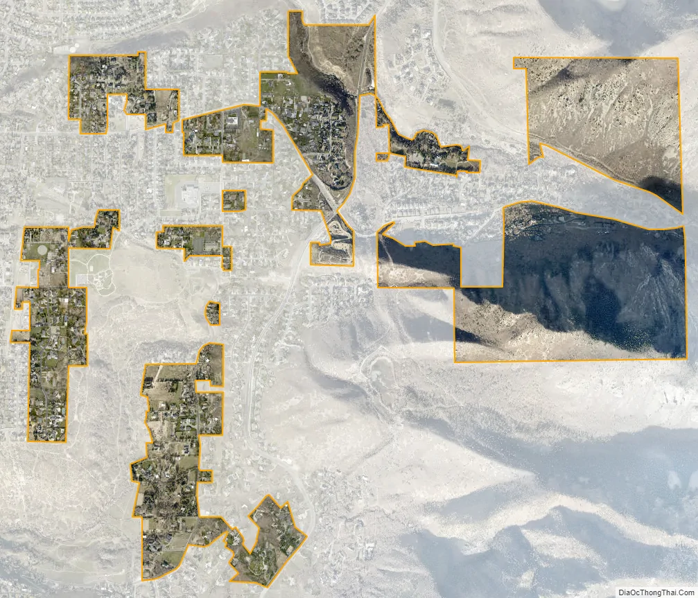
Granite city Satellite Map
Geography
According to the United States Census Bureau, the CDP has a total area of 1.5 square miles (3.8 km), all land. The majority of the land extends into Little Cottonwood Canyon.
See also
Map of Utah State and its subdivision: Map of other states:- Alabama
- Alaska
- Arizona
- Arkansas
- California
- Colorado
- Connecticut
- Delaware
- District of Columbia
- Florida
- Georgia
- Hawaii
- Idaho
- Illinois
- Indiana
- Iowa
- Kansas
- Kentucky
- Louisiana
- Maine
- Maryland
- Massachusetts
- Michigan
- Minnesota
- Mississippi
- Missouri
- Montana
- Nebraska
- Nevada
- New Hampshire
- New Jersey
- New Mexico
- New York
- North Carolina
- North Dakota
- Ohio
- Oklahoma
- Oregon
- Pennsylvania
- Rhode Island
- South Carolina
- South Dakota
- Tennessee
- Texas
- Utah
- Vermont
- Virginia
- Washington
- West Virginia
- Wisconsin
- Wyoming