Sandy is a city in the Salt Lake City metropolitan area, located in Salt Lake County, Utah, United States. The population of Sandy was 87,461 at the 2010 census, making it the sixth-largest city in Utah. The population is currently estimated to be about 96,380 according to the July 1, 2019 United States Census estimates.
Sandy is home to the Shops at South Town shopping mall; the Jordan Commons entertainment, office and dining complex; and the Mountain America Exposition Center. It is also the location of the soccer-specific America First Field (formerly known as Rio Tinto Stadium), which hosts Real Salt Lake and Utah Royals FC home games, and opened on October 8, 2008.
The city is currently developing a walkable and transit-oriented city center called The Cairns. A formal master plan was adopted in January 2017 to accommodate regional growth and outlines developments and related guidelines through the next 25 years, while dividing the city center into distinct villages. The plan emphasizes sustainable living, walkability, human-scaled architecture, environmentally-friendly design, and nature-inspired design while managing population growth and its related challenges.
| Name: | Sandy city |
|---|---|
| LSAD Code: | 25 |
| LSAD Description: | city (suffix) |
| State: | Utah |
| County: | Salt Lake County |
| Founded: | 1871 |
| Incorporated: | 1893 |
| Elevation: | 4,450 ft (1,356 m) |
| Total Area: | 24.16 sq mi (62.58 km²) |
| Land Area: | 24.15 sq mi (62.55 km²) |
| Water Area: | 0.01 sq mi (0.03 km²) |
| Total Population: | 96,904 |
| Population Density: | 3,990.73/sq mi (1,540.84/km²) |
| ZIP code: | 84070, 84090-84094 |
| Area code: | 385, 801 |
| FIPS code: | 4967440 |
| Website: | www.sandy.utah.gov |
Online Interactive Map
Click on ![]() to view map in "full screen" mode.
to view map in "full screen" mode.
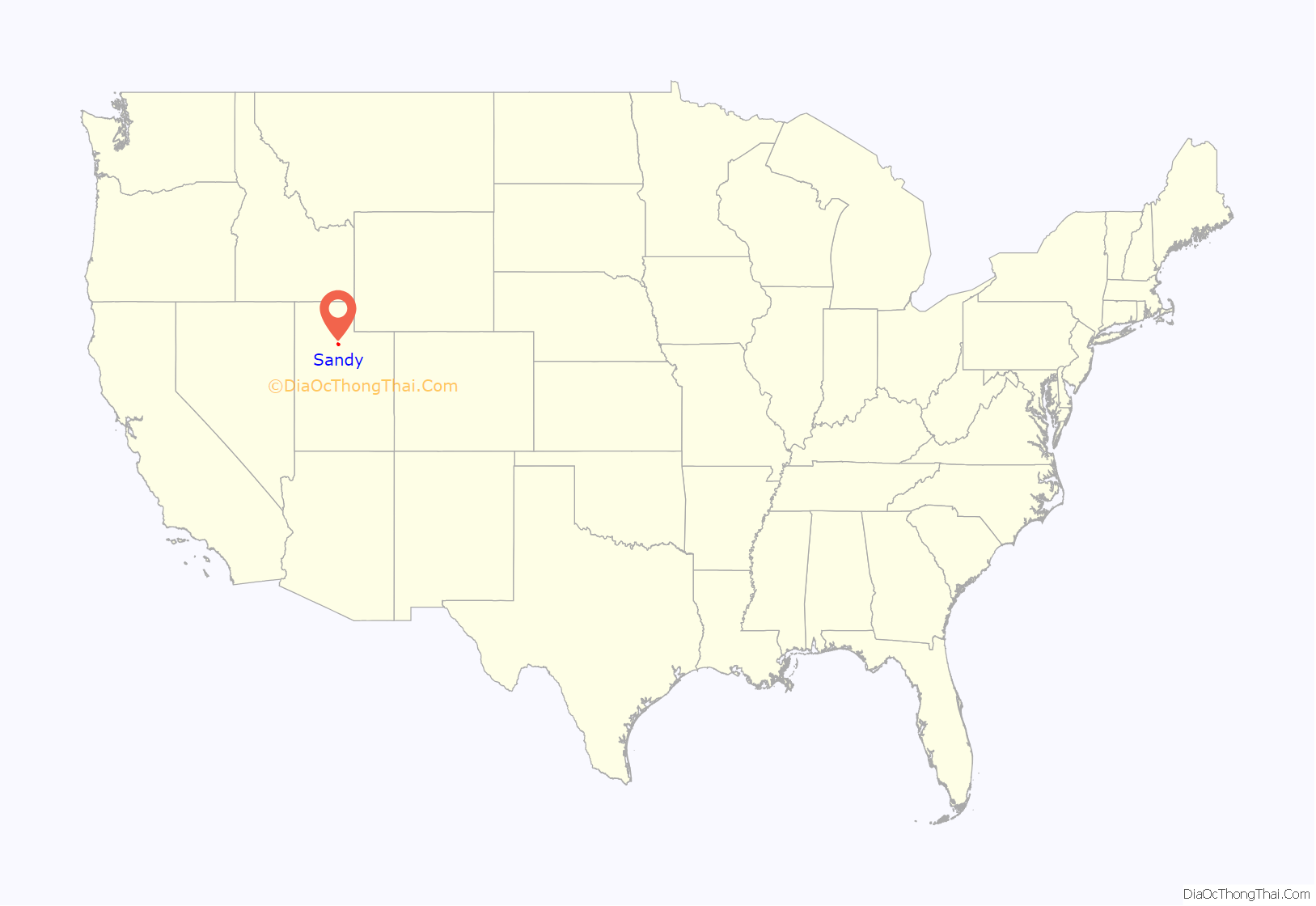
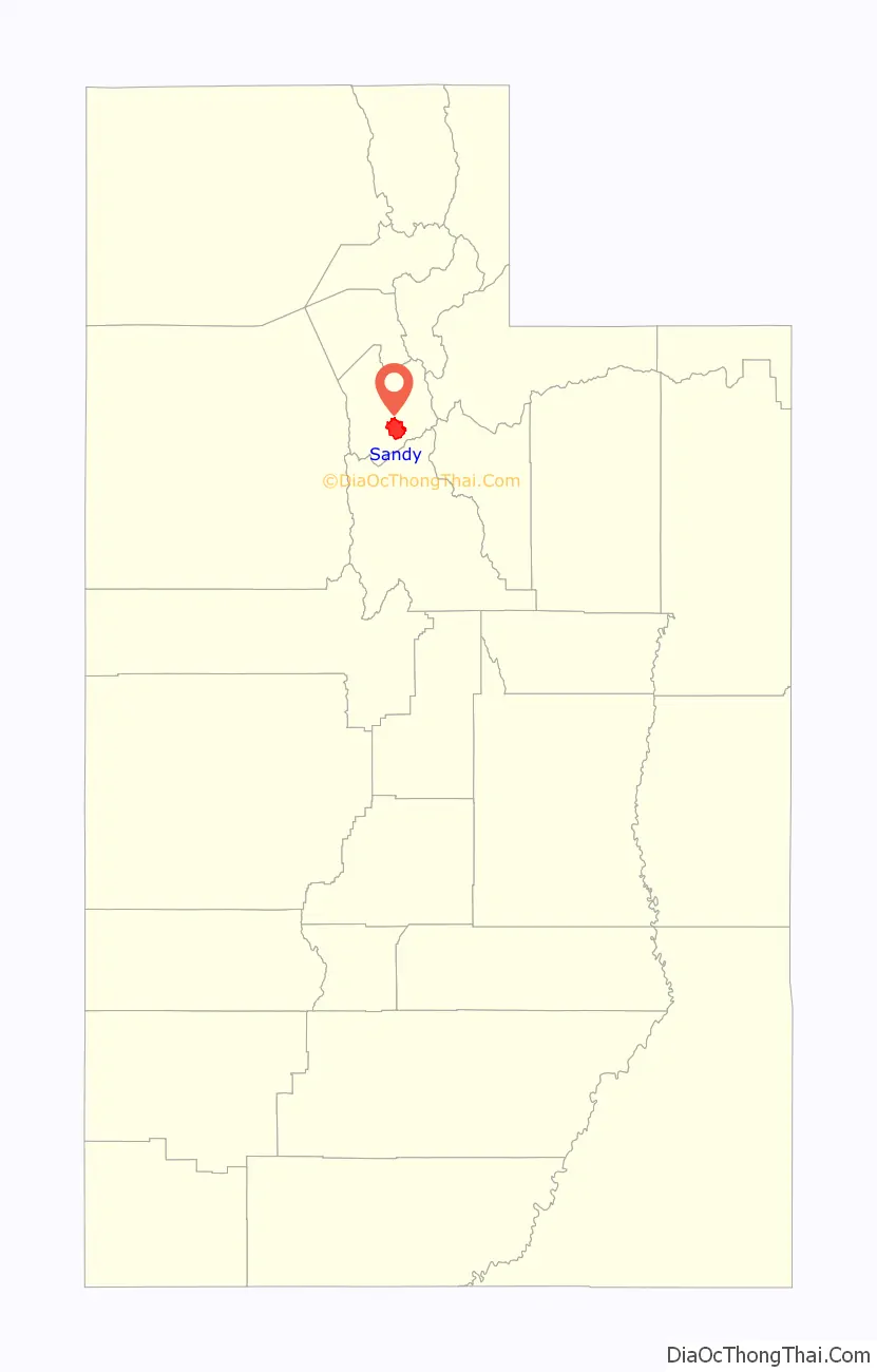
Sandy location map. Where is Sandy city?
History
Early settlements
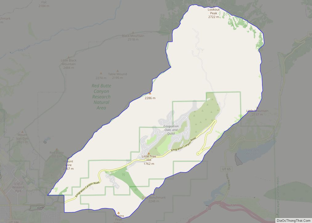
Located at the base of the Wasatch Mountains thirteen miles (21 km) south of Salt Lake City, Sandy was a likely area for early settlement. The area was first used by nomadic bands of Paiute, Shoshone, and Bannock Indians who roamed along the base of the mountains as they travelled from their winter home at Utah Lake to their summer fishing grounds at Bear Lake.
Permanent settlers first moved into Sandy during the 1860s and 1870s because of the availability of land in the less crowded southern end of the Salt Lake Valley. The original plat was essentially one square mile, situated on an alluvial terrace running north and south along the eastern edge of the Jordan River drainage system and paralleling the mountain range.
The origin of its name has not been established with any certainty. Perhaps most widely believed is that Brigham Young named Sandy for its thirsty soil, but there is no historical evidence for this. Another theory is that the name came from a legendary and colorful Scotsman, Alexander “Sandy” Kinghorn, the engineer who ran the first train line to this end of the Salt Lake Valley. Though this seems bolstered by the original name (Sandy Station or Sandy’s Station), historians consider it unlikely in view of the short period between the start of the train service and the first instances of the name.
In 1863, there were only four homes between Union (7200 South) and Dunyon (Point of the Mountain): the Thayne homestead at 6600 South and 800 East, one in Crescent, one at Dunyon, and a fourth outside present-day Sandy boundaries altogether. Within a few years, Thomas Allsop, a Yorkshire farmer who had immigrated to Utah in 1853, owned almost half of present-day Sandy from County Road to Fourth East along Alta Road to Lindell Parkway. LeGrand Young owned the land between Fourth East and State Street.
Farmers willing to try their hand at the thirsty soil that inspired Sandy’s name took up land along State Street, which stretched from downtown Salt Lake City to Point of the Mountain. But it was mining that shaped Sandy’s first four decades. When silver mining began in Little Cottonwood Canyon, entrepreneurs recognized Sandy’s value as a supply station; soon its main street was lined with hotels, saloons, and brothels serving miners ready to spend their newly earned wages. Three major smelters were located in Sandy. They were the Flagstaff, the Mingo, and the Saturn. These made Sandy the territory’s most significant smelting center for a number of years.
The railroad was also significant in determining the course of Sandy’s history. Built in 1873, the railroad connected Sandy to Salt Lake City and facilitated the transportation of ore and other products both in and out of the area. A streetcar line in 1907 facilitated the transportation of locals to jobs in Salt Lake City; and the automobile later continued to serve that function.
Incorporation
Sandy was incorporated in 1893, largely as part of an effort to combat what Mormon inhabitants considered “unsavory” elements in the town. Due to its mine-based beginnings, Sandy saw some modest growth. After incorporation, it was almost as if Sandy had redefined itself. Gone were the large numbers of single, transient men. By 1900, there was only a handful of saloons and hotels, and Sandy began to more closely resemble other rural Utah towns — a place where everyone knew everyone else. Church, farming, business, and family formed the focus of the inhabitants’ world.
In the late 1960s, however, this rural town dramatically changed course with its second boom. It had always been assumed by local leaders and citizens that Sandy would grow outward from its logical and historic center—the nexus of Main and Center streets. However, population growth overwhelmed the physical center as neighborhoods spread out in every direction over the land.
During the 1970s, pocket communities took shape, providing the services, schools, and shopping traditionally offered by a city. Annexation issues became prominent as Salt Lake County and Sandy vied for control over land and resources. Sandy became a collection of small local communities identified by a youthful, family-oriented population. Although it was initially perceived as a bedroom community, and often still is, it has since developed a thriving commercial center along State Street and other various arterial roads.
The Cairns
In 2014, the Sandy City government revealed blueprints to redevelop 1,100 acres of Sandy’s downtown area into a new resort-style city center over the next 25 years, adding high-rise multi-family residential buildings and office towers, while also renovating the Shops at South Town shopping mall. The plans will also add new multi-use trails, the new Hale Center Theatre, and other amenities. The city center project is named The Cairns, with the project stretching between 9000 South and 11400 South, and Interstate 15 to the TRAX Blue Line. The project includes the American First Field and the Mountain America Exposition Center.
The project divides the city center into distinct urban villages; the areas currently under development include:
- Central Village – An office park and retail development along State Street;
- South Village – The largest village, home to City Hall, the Hale Center Theatre, the Shops at South Town, and retail and office space; and
- East Village – A transit-oriented development focused around Sandy Civic Center TRAX light rail station, including retail, office, and multi-family residential.
The master plan also includes study areas for future development and single-use areas that are unlikely to change.
As of February 2017, the first phase of the Shops at South Town redevelopment is complete and the Central Village office towers (including a new InContact headquarters), the Hale Center Theatre, and the Park at City Center residential project are near completion. The East Village transit-oriented development is nearly halfway complete, with residential projects near completion and mixed-use projects planned for a late 2017 or early 2018 groundbreaking. Transit enhancements are planned to connect the TRAX station to the South Jordan FrontRunner station, and create a link between the active villages, by way of rubber-tire bus, trolleybus, or tram. This route has been studied and is currently under planning.
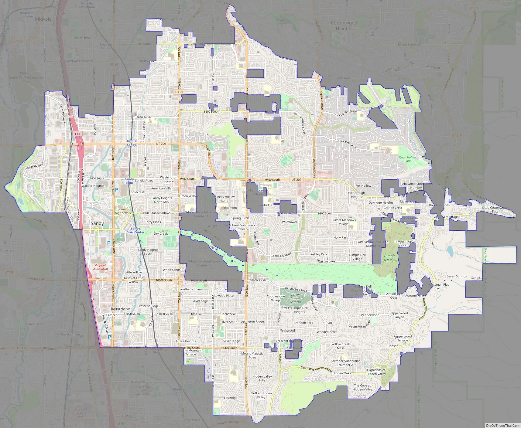
Sandy Road Map
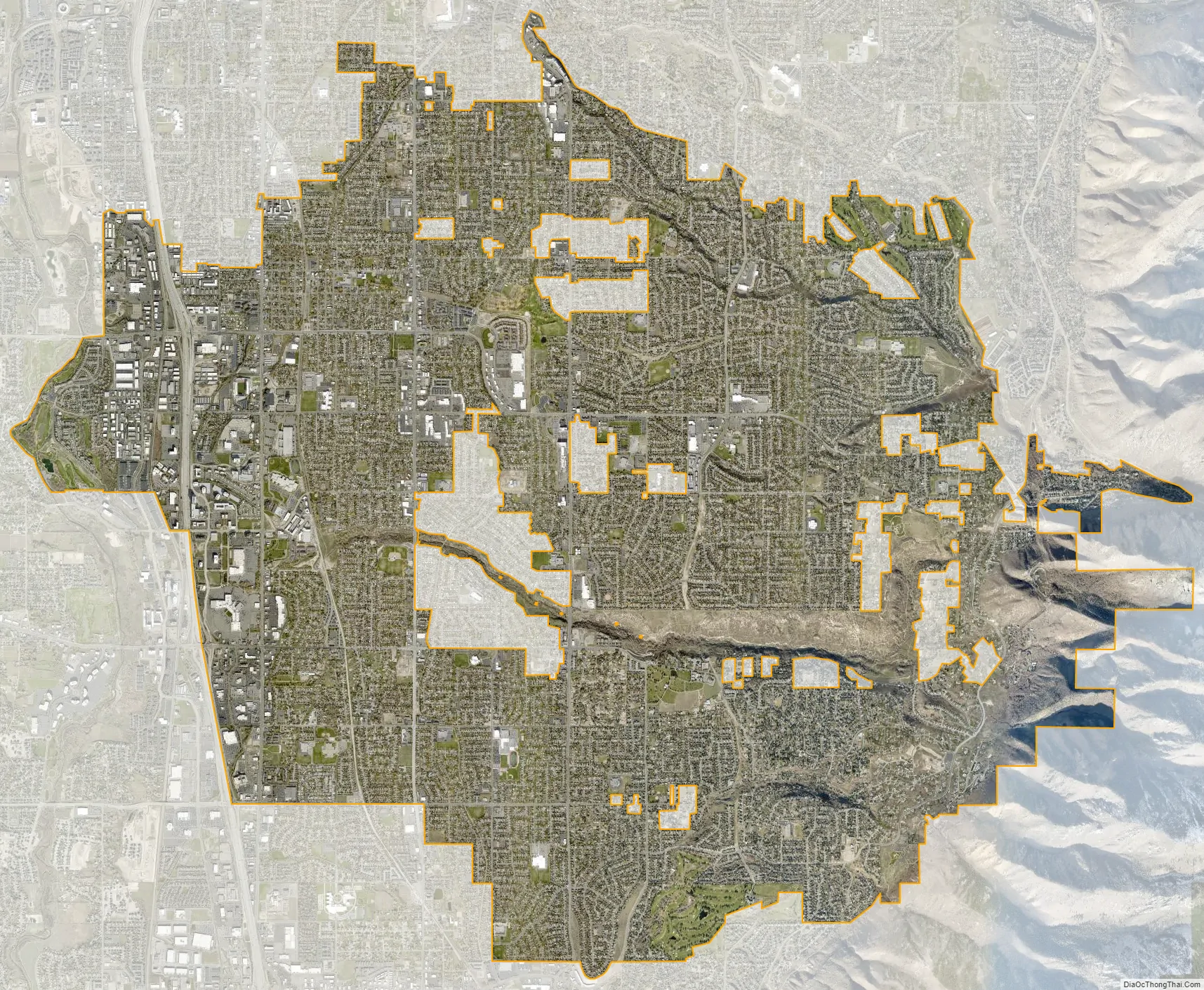
Sandy city Satellite Map
Geography
According to the United States Census Bureau, the city has a total area of 22.4 square miles (58 km), of which 22.3 square miles (58 km) is land and 0.04 square miles (0.10 km) (0.09%) is water.
The major residential region of eastern Sandy sits on the slopes of the Wasatch Range while the western section lies at the bottom of the valley. Interstate 15 and State Street (US-89) run through the western portions of the city, while the Jordan River forms part of the western border with West Jordan and South Jordan.
Climate
Under the Köppen climate classification, Sandy has a humid subtropical climate (Cfa) or a humid continental climate (Dfa) depending on which variant of the system is used.
See also
Map of Utah State and its subdivision: Map of other states:- Alabama
- Alaska
- Arizona
- Arkansas
- California
- Colorado
- Connecticut
- Delaware
- District of Columbia
- Florida
- Georgia
- Hawaii
- Idaho
- Illinois
- Indiana
- Iowa
- Kansas
- Kentucky
- Louisiana
- Maine
- Maryland
- Massachusetts
- Michigan
- Minnesota
- Mississippi
- Missouri
- Montana
- Nebraska
- Nevada
- New Hampshire
- New Jersey
- New Mexico
- New York
- North Carolina
- North Dakota
- Ohio
- Oklahoma
- Oregon
- Pennsylvania
- Rhode Island
- South Carolina
- South Dakota
- Tennessee
- Texas
- Utah
- Vermont
- Virginia
- Washington
- West Virginia
- Wisconsin
- Wyoming