Ivins (/ˈaɪvɪnz/ EYE-vinz) is a city in southwestern Washington County, Utah, United States. It is a part of the St. George Metropolitan Area as a suburb or “bedroom” community. The population was 8,978 at the 2020 census, up from 6,753 at the 2010 census. Although Ivins was listed as a town in the 2000 census, it became a city in 1998.
| Name: | Ivins city |
|---|---|
| LSAD Code: | 25 |
| LSAD Description: | city (suffix) |
| State: | Utah |
| County: | Washington County |
| Incorporated: | 1935 |
| Elevation: | 3,100 ft (900 m) |
| Total Area: | 9.48 sq mi (24.56 km²) |
| Land Area: | 9.43 sq mi (24.43 km²) |
| Water Area: | 0.05 sq mi (0.13 km²) |
| Total Population: | 9,532 |
| Population Density: | 1,010.8/sq mi (392.3/km²) |
| ZIP code: | 84738 |
| Area code: | 435 |
| FIPS code: | 4938710 |
| GNISfeature ID: | 1429067 |
| Website: | http://www.ivins.com/ |
Online Interactive Map
Click on ![]() to view map in "full screen" mode.
to view map in "full screen" mode.
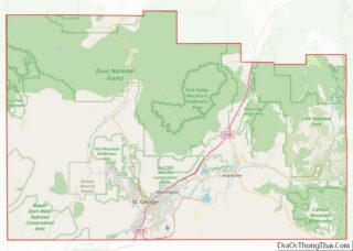
Ivins location map. Where is Ivins city?
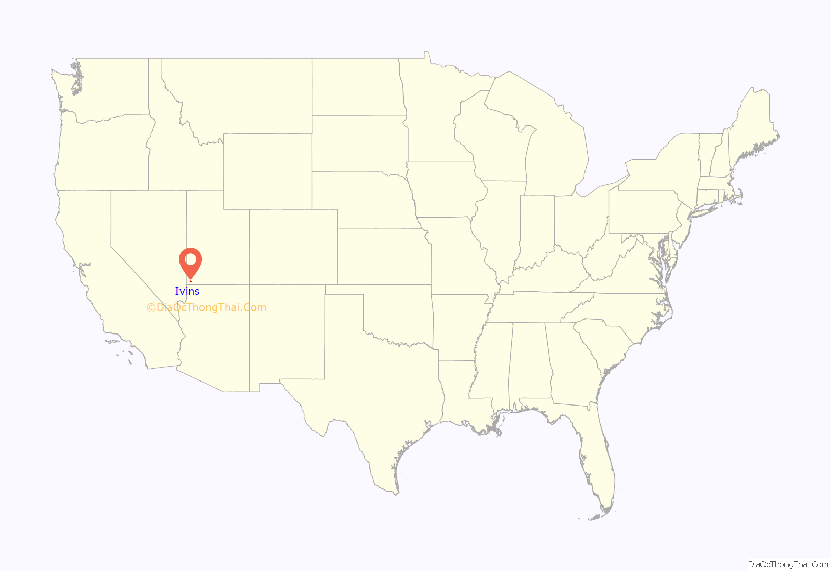
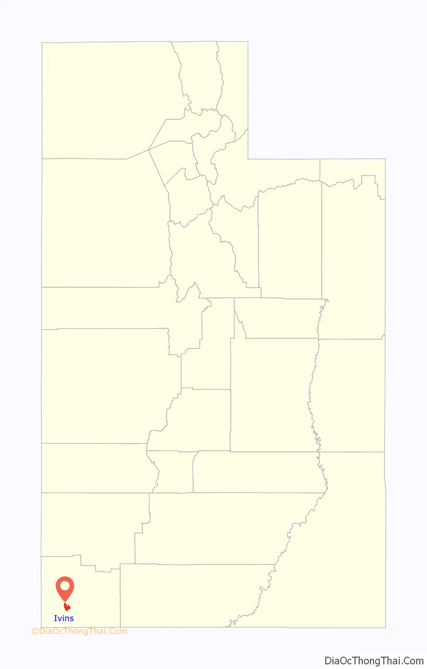
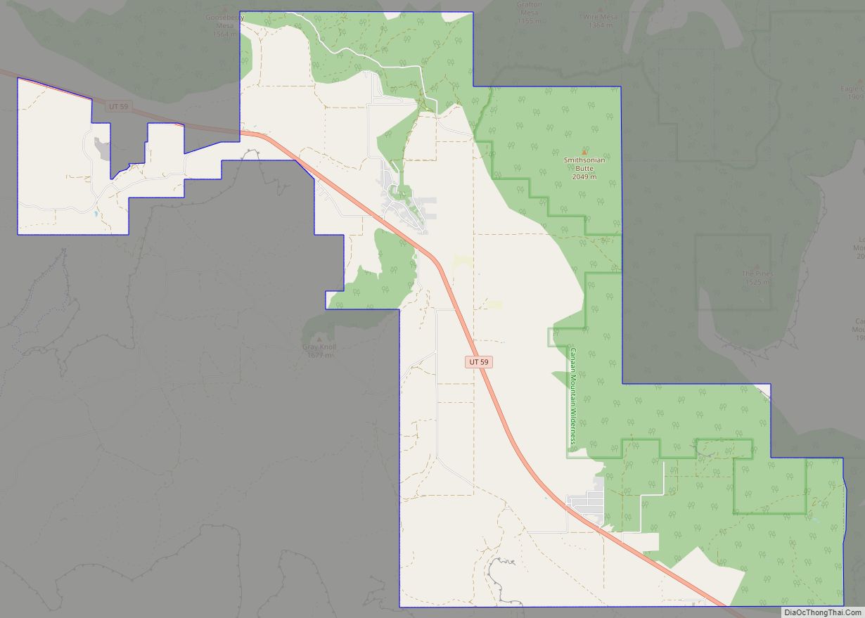
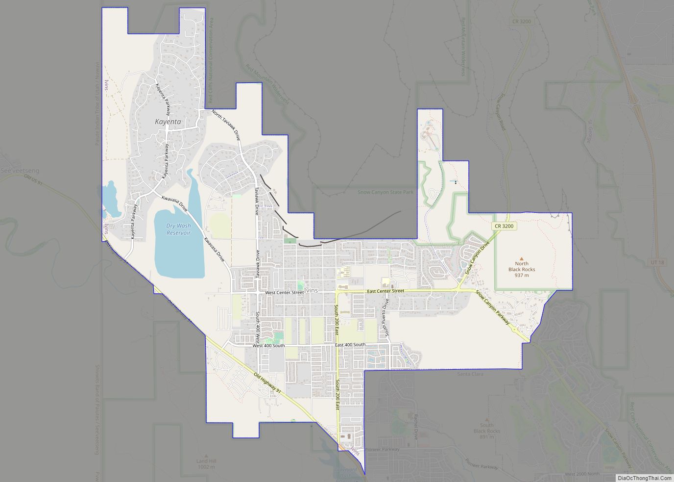
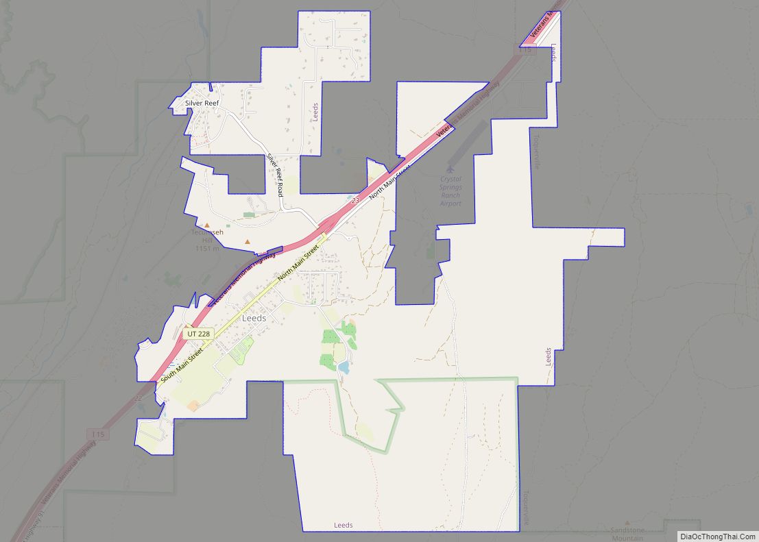
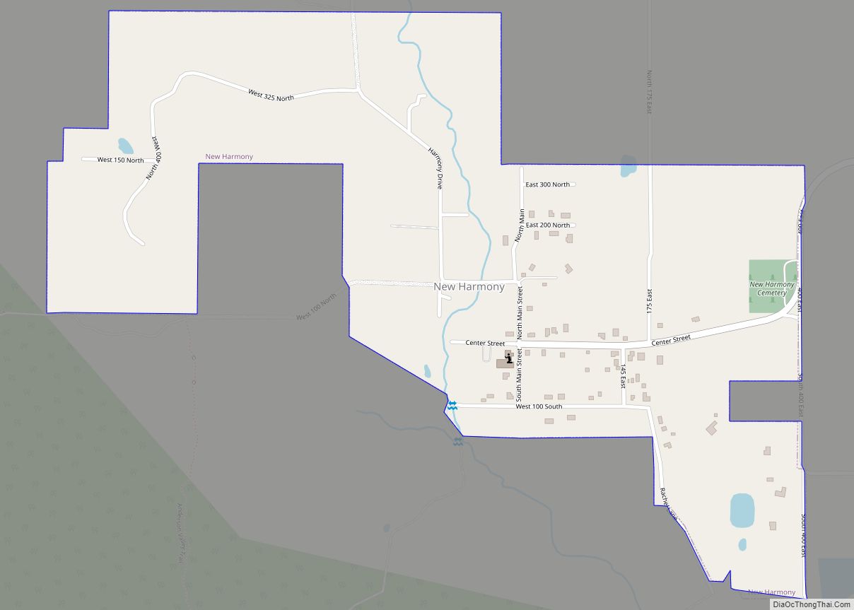
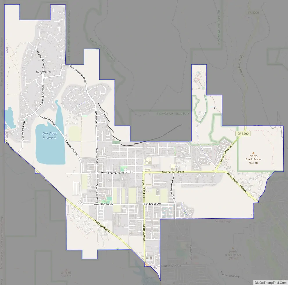
Ivins Road Map
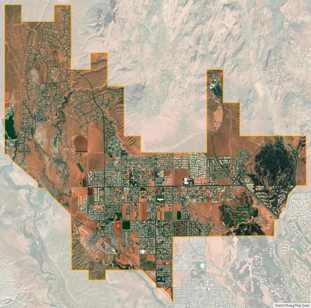
Ivins city Satellite Map
Geography
According to the United States Census Bureau, the city has a total area of 10.3 square miles (27 km), of which 10.2 sq mi (26 km) is land and 0.1 sq mi (0.26 km) (0.68%) is water.
Ivins is near Tuacahn (an outdoor arts and amphitheater) and Snow Canyon State Park, which draw many people to the area. There are many new planned developments (some with golf courses) near or in Ivins, joining the earlier Kayenta and Padre Canyon developments.
Climate
According to the Köppen Climate Classification system, Ivins has a semi-arid climate, abbreviated “BSk” on climate maps.
See also
Map of Utah State and its subdivision: Map of other states:- Alabama
- Alaska
- Arizona
- Arkansas
- California
- Colorado
- Connecticut
- Delaware
- District of Columbia
- Florida
- Georgia
- Hawaii
- Idaho
- Illinois
- Indiana
- Iowa
- Kansas
- Kentucky
- Louisiana
- Maine
- Maryland
- Massachusetts
- Michigan
- Minnesota
- Mississippi
- Missouri
- Montana
- Nebraska
- Nevada
- New Hampshire
- New Jersey
- New Mexico
- New York
- North Carolina
- North Dakota
- Ohio
- Oklahoma
- Oregon
- Pennsylvania
- Rhode Island
- South Carolina
- South Dakota
- Tennessee
- Texas
- Utah
- Vermont
- Virginia
- Washington
- West Virginia
- Wisconsin
- Wyoming