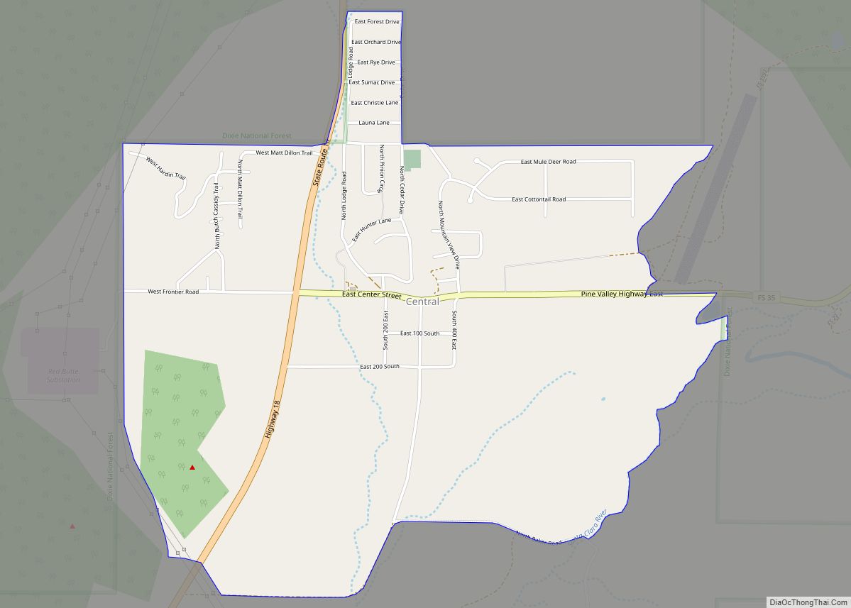
Pine Valley is a census-designated place in north-central Washington County, Utah, United States that lies approximately 45 minutes north of the county seat, St. George. It is located at the head of the Santa Clara River in the Pine Valley Mountains, and was settled in 1859. The population was 186 at the 2010 census.
Significant landmarks include the Pine Valley Ward Chapel of the Church of Jesus Christ of Latter-day Saints designed by shipbuilder Ebenezer Bryce in 1868 using the scheme of an upside-down boat. Pine Valley Chapel is the oldest Mormon chapel in continuous use.
| Name: | Pine Valley CDP |
|---|---|
| LSAD Code: | 57 |
| LSAD Description: | CDP (suffix) |
| State: | Utah |
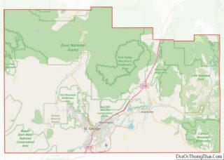
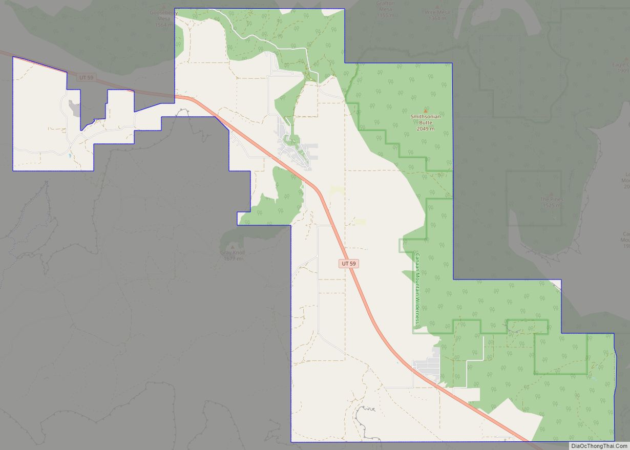
| County: | Washington County |
| Elevation: | 6,542 ft (1,994 m) |
| Total Area: | 186 |
| ZIP code: | 84781 |
| Area code: | 435 |
| FIPS code: | 4960270 |
| GNISfeature ID: | 2629953 |
| Website: | http://pinevalleyutah.org/ |
Online Interactive Map
Click on ![]() to view map in "full screen" mode.
to view map in "full screen" mode.
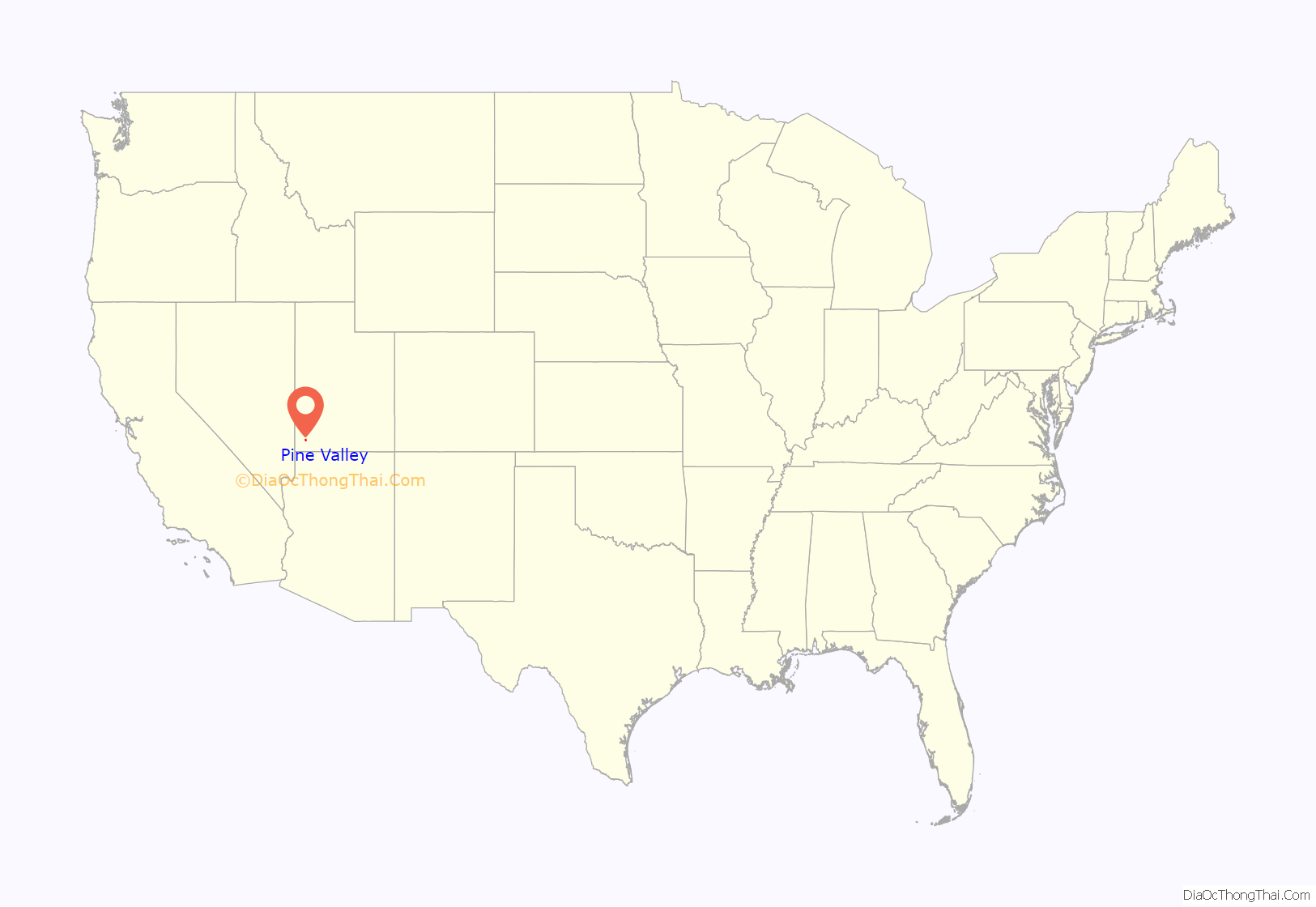
Pine Valley location map. Where is Pine Valley CDP?

Pine Valley Road Map
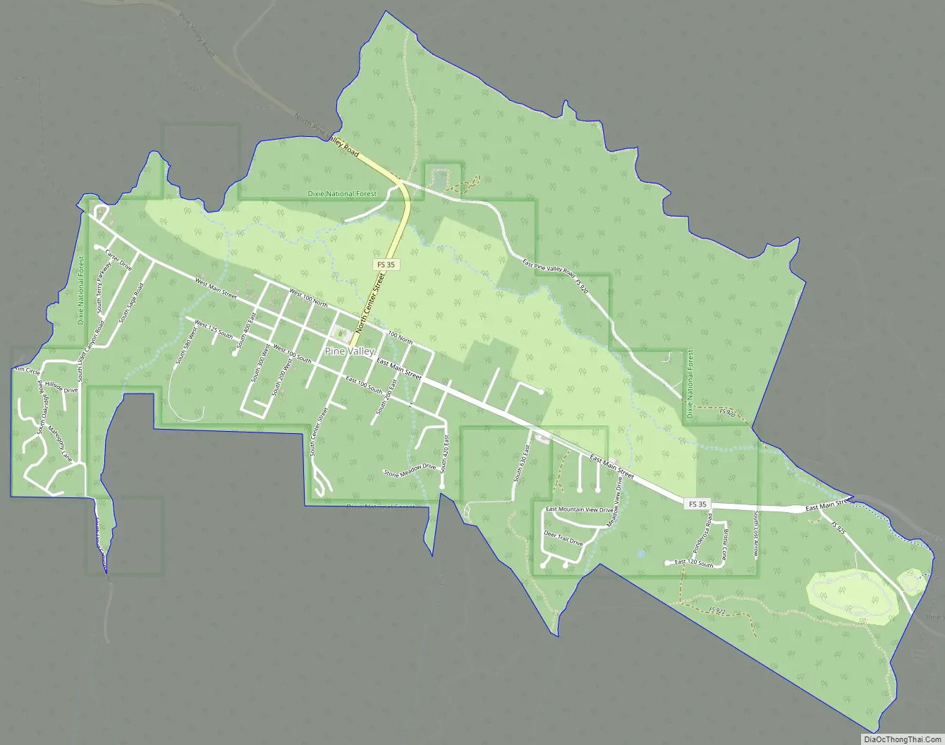
Pine Valley city Satellite Map

See also
Map of Utah State and its subdivision: Map of other states:- Alabama
- Alaska
- Arizona
- Arkansas
- California
- Colorado
- Connecticut
- Delaware
- District of Columbia
- Florida
- Georgia
- Hawaii
- Idaho
- Illinois
- Indiana
- Iowa
- Kansas
- Kentucky
- Louisiana
- Maine
- Maryland
- Massachusetts
- Michigan
- Minnesota
- Mississippi
- Missouri
- Montana
- Nebraska
- Nevada
- New Hampshire
- New Jersey
- New Mexico
- New York
- North Carolina
- North Dakota
- Ohio
- Oklahoma
- Oregon
- Pennsylvania
- Rhode Island
- South Carolina
- South Dakota
- Tennessee
- Texas
- Utah
- Vermont
- Virginia
- Washington
- West Virginia
- Wisconsin
- Wyoming