Plain City is a city in Weber County, Utah, United States. The population was 5,476 at the 2010 census. It is part of the Ogden–Clearfield, Utah Metropolitan Statistical Area. The current mayor is Jon Beesley.
| Name: | Plain City city |
|---|---|
| LSAD Code: | 25 |
| LSAD Description: | city (suffix) |
| State: | Utah |
| County: | Weber County |
| Incorporated: | 1944 |
| Elevation: | 4,242 ft (1,293 m) |
| Total Area: | 12.21 sq mi (31.62 km²) |
| Land Area: | 11.99 sq mi (31.05 km²) |
| Water Area: | 0.22 sq mi (0.57 km²) |
| Total Population: | 5,476 |
| Population Density: | 639.72/sq mi (247.00/km²) |
| ZIP code: | 84404 |
| Area code: | 385, 801 |
| FIPS code: | 4960710 |
| GNISfeature ID: | 1444471 |
| Website: | http://plaincityutah.org |
Online Interactive Map
Click on ![]() to view map in "full screen" mode.
to view map in "full screen" mode.
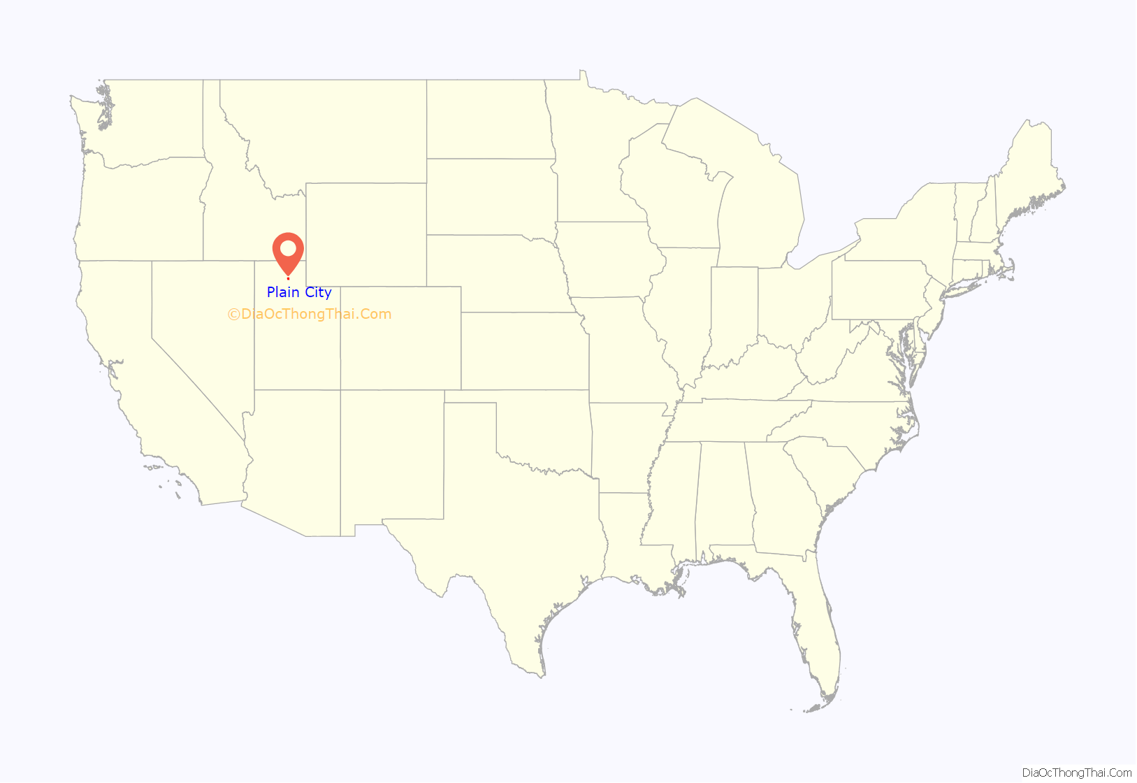
Plain City location map. Where is Plain City city?
History
The Salt Lake Valley settlement began when wagon trains of members of the Church of Jesus Christ of Latter-day Saints began arriving in 1847. By 1858, farmers from the then-settled towns of Lehi and Kay’s Creek, looking for a new place to homestead, began considering the area now known as Plain City. On 17 March 1859, led by Lorin Farr, a group arrived to begin homesteading. Soon after arriving, the group surveyed a townsite and assigned building lots. The town layout used an organized grid system of blocks and streets, originally six blocks north-to-south and three blocks east-to-west. Each block was 5 acres (20,000 m) in area, divided into 4 lots. The first settlers were allowed their choice in the selection of a lot.
Trucking
Plain City residents were responsible for the creation and growth of several nationwide trucking companies:
- Maude Knight married Chester Rodney England in 1916; he founded C.R. England Trucking in 1920 to haul produce for nearby farmers.
- Carl Moyes, a driver for C.R. England in the 1940s, and his two sons, Jerry and Ronald, were childhood friends with Jeff England, son of Gene and grandson of Chester. Carl would leave C.R. England to found his own company with his wife, Betty, B & C Truck Leasing.
- Carl and Betty hired the Knight cousins to drive for them. Carl and his two sons relocated to Phoenix, Arizona in 1966, and founded Common Market, a trucking company which was known as Swift Transportation by 1969.
- Jeff England started Pride Transport in 1979 in Salt Lake City.
- Brothers Kevin and Keith Knight, and two of their cousins who had driven for Swift Transportation in Phoenix, Randy and Gary Knight, banded together to start Knight Transportation in 1990.
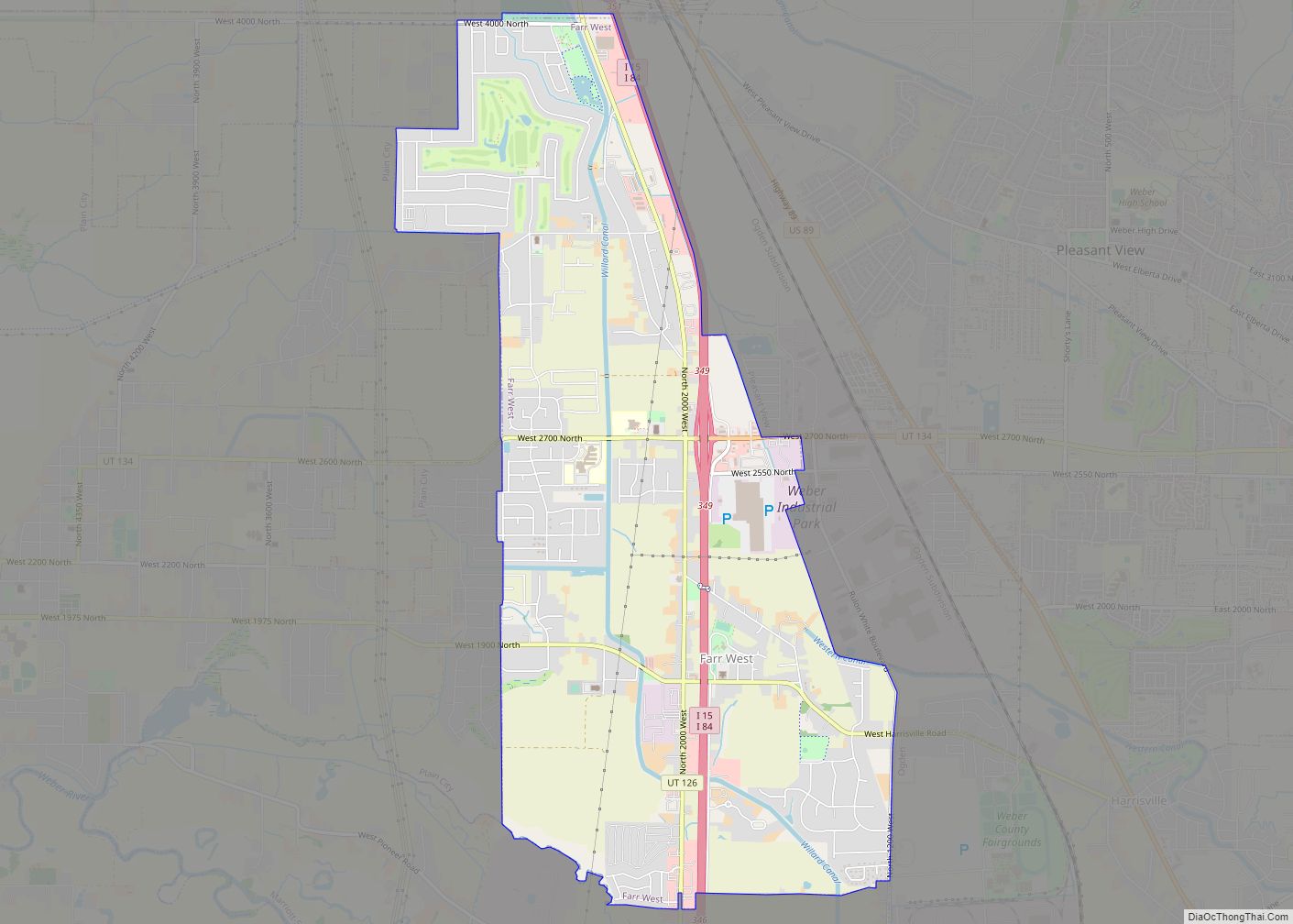
Plain City Road Map
Plain City city Satellite Map
Geography
According to the United States Census Bureau, the city has a total area of 11.73 square miles and 0.23 square miles of water.
See also
Map of Utah State and its subdivision: Map of other states:- Alabama
- Alaska
- Arizona
- Arkansas
- California
- Colorado
- Connecticut
- Delaware
- District of Columbia
- Florida
- Georgia
- Hawaii
- Idaho
- Illinois
- Indiana
- Iowa
- Kansas
- Kentucky
- Louisiana
- Maine
- Maryland
- Massachusetts
- Michigan
- Minnesota
- Mississippi
- Missouri
- Montana
- Nebraska
- Nevada
- New Hampshire
- New Jersey
- New Mexico
- New York
- North Carolina
- North Dakota
- Ohio
- Oklahoma
- Oregon
- Pennsylvania
- Rhode Island
- South Carolina
- South Dakota
- Tennessee
- Texas
- Utah
- Vermont
- Virginia
- Washington
- West Virginia
- Wisconsin
- Wyoming
