Toquerville (/ˈtoʊkərvɪl/ TOH-kər-vil) is a city in east–central Washington County, Utah, United States. The population was 1,370 at the 2010 census.
| Name: | Toquerville city |
|---|---|
| LSAD Code: | 25 |
| LSAD Description: | city (suffix) |
| State: | Utah |
| County: | Washington County |
| Elevation: | 3,383 ft (1,031 m) |
| Total Area: | 22.20 sq mi (57.48 km²) |
| Land Area: | 22.20 sq mi (57.48 km²) |
| Water Area: | 0.00 sq mi (0.00 km²) |
| Total Population: | 1,370 |
| Population Density: | 78.17/sq mi (30.18/km²) |
| ZIP code: | 84774 |
| Area code: | 435 |
| FIPS code: | 4976900 |
| GNISfeature ID: | 1446655 |
| Website: | www.toquerville.org |
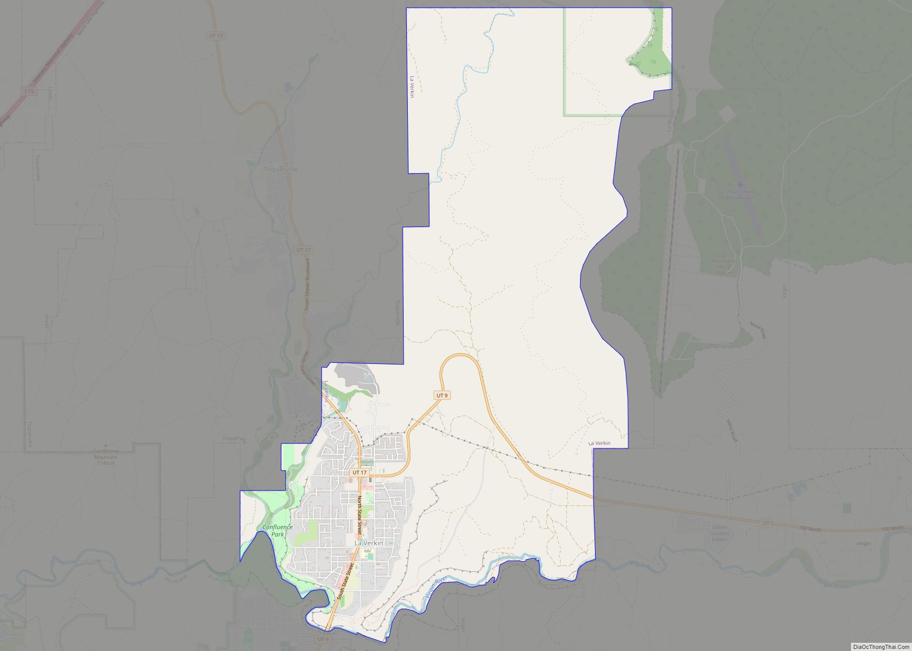
Online Interactive Map
Click on ![]() to view map in "full screen" mode.
to view map in "full screen" mode.
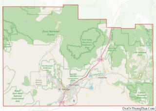
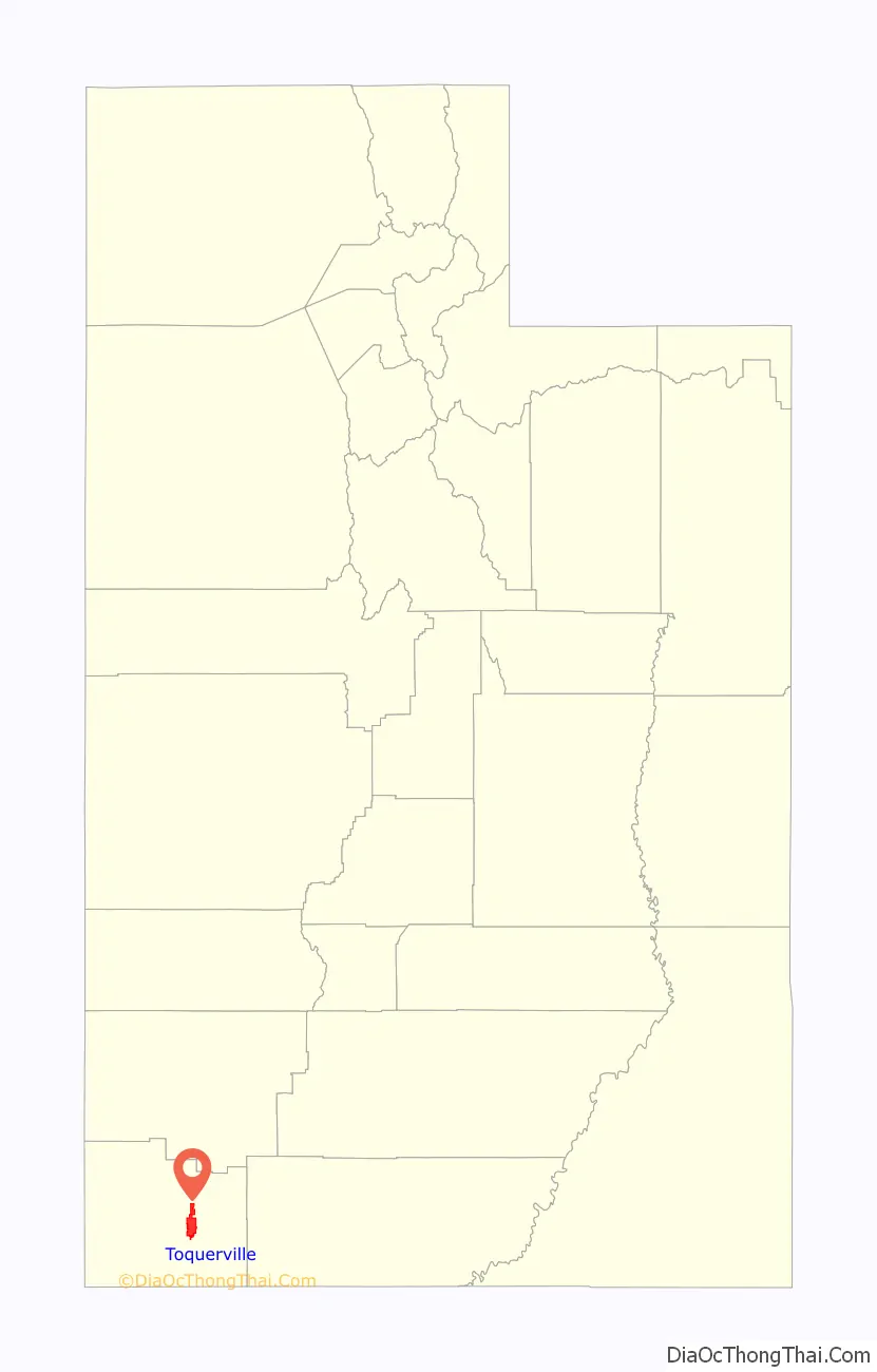
Toquerville location map. Where is Toquerville city?

History
Toquerville was named after an early Paiute chief. The population has grown from only 19 families in the late 1800s. Toquerville’s proximity to Zion National Park has created a healthy tourism economy where the community traditionally had depended on agriculture.
Although it was still a town at the 2000 census, Toquerville became a city at the end of 2000.
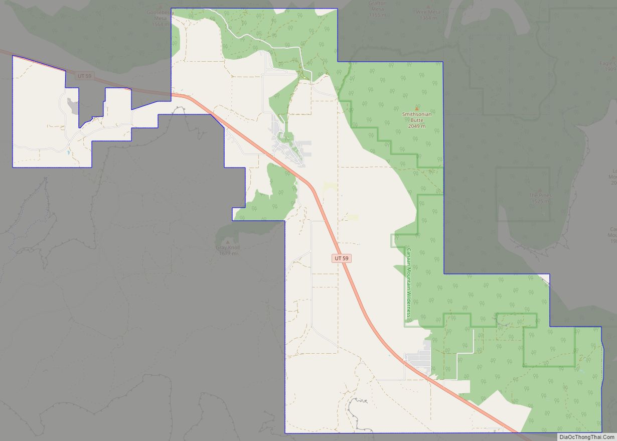
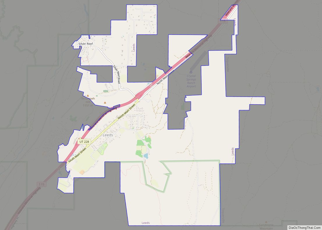
Toquerville Road Map

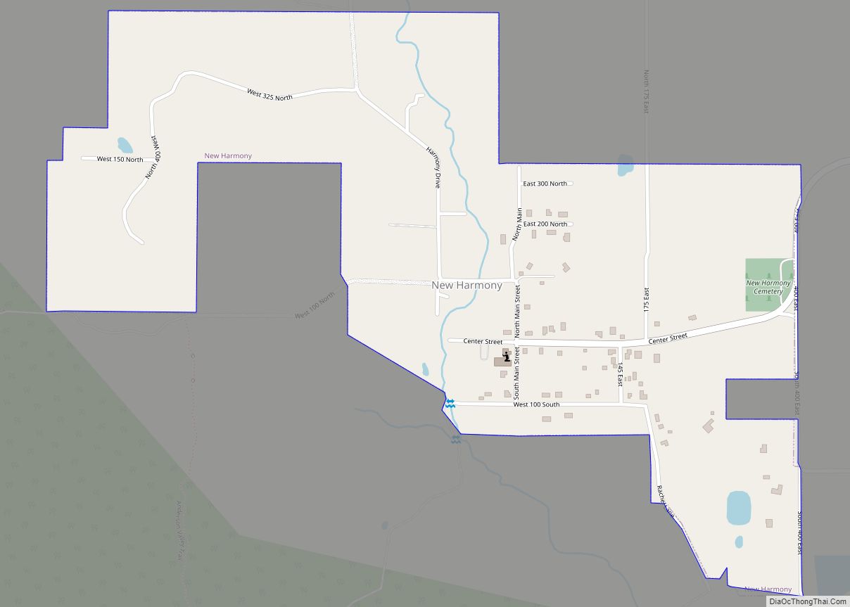
Toquerville city Satellite Map

Geography
According to the United States Census Bureau, the city has a total area of 14.2 square miles (37 km), all land. Ash Creek flows through the community. Utah State Route 17 passes through the community and connects with Interstate 15 2.5 miles north of the community.
See also
Map of Utah State and its subdivision: Map of other states:- Alabama
- Alaska
- Arizona
- Arkansas
- California
- Colorado
- Connecticut
- Delaware
- District of Columbia
- Florida
- Georgia
- Hawaii
- Idaho
- Illinois
- Indiana
- Iowa
- Kansas
- Kentucky
- Louisiana
- Maine
- Maryland
- Massachusetts
- Michigan
- Minnesota
- Mississippi
- Missouri
- Montana
- Nebraska
- Nevada
- New Hampshire
- New Jersey
- New Mexico
- New York
- North Carolina
- North Dakota
- Ohio
- Oklahoma
- Oregon
- Pennsylvania
- Rhode Island
- South Carolina
- South Dakota
- Tennessee
- Texas
- Utah
- Vermont
- Virginia
- Washington
- West Virginia
- Wisconsin
- Wyoming