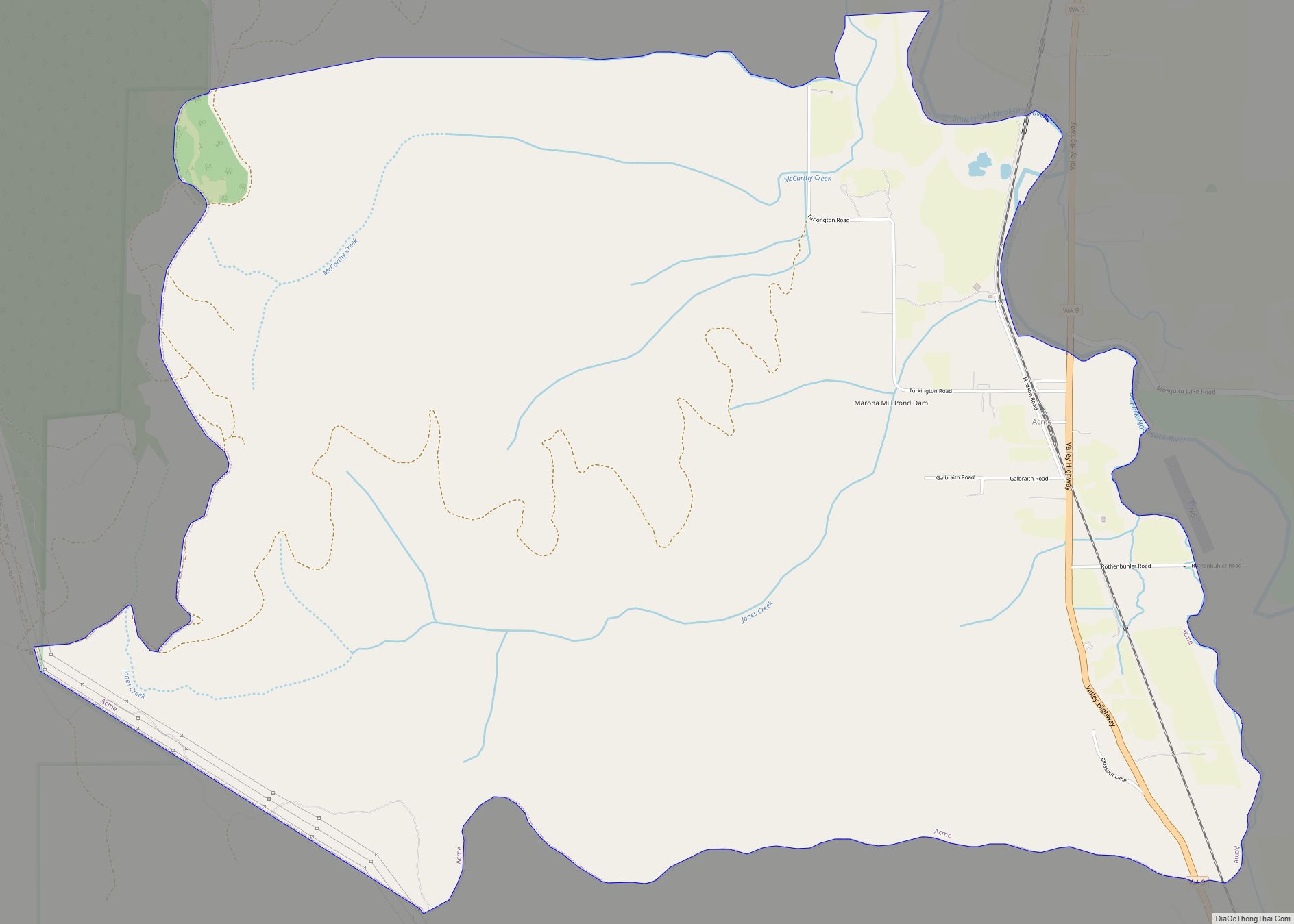
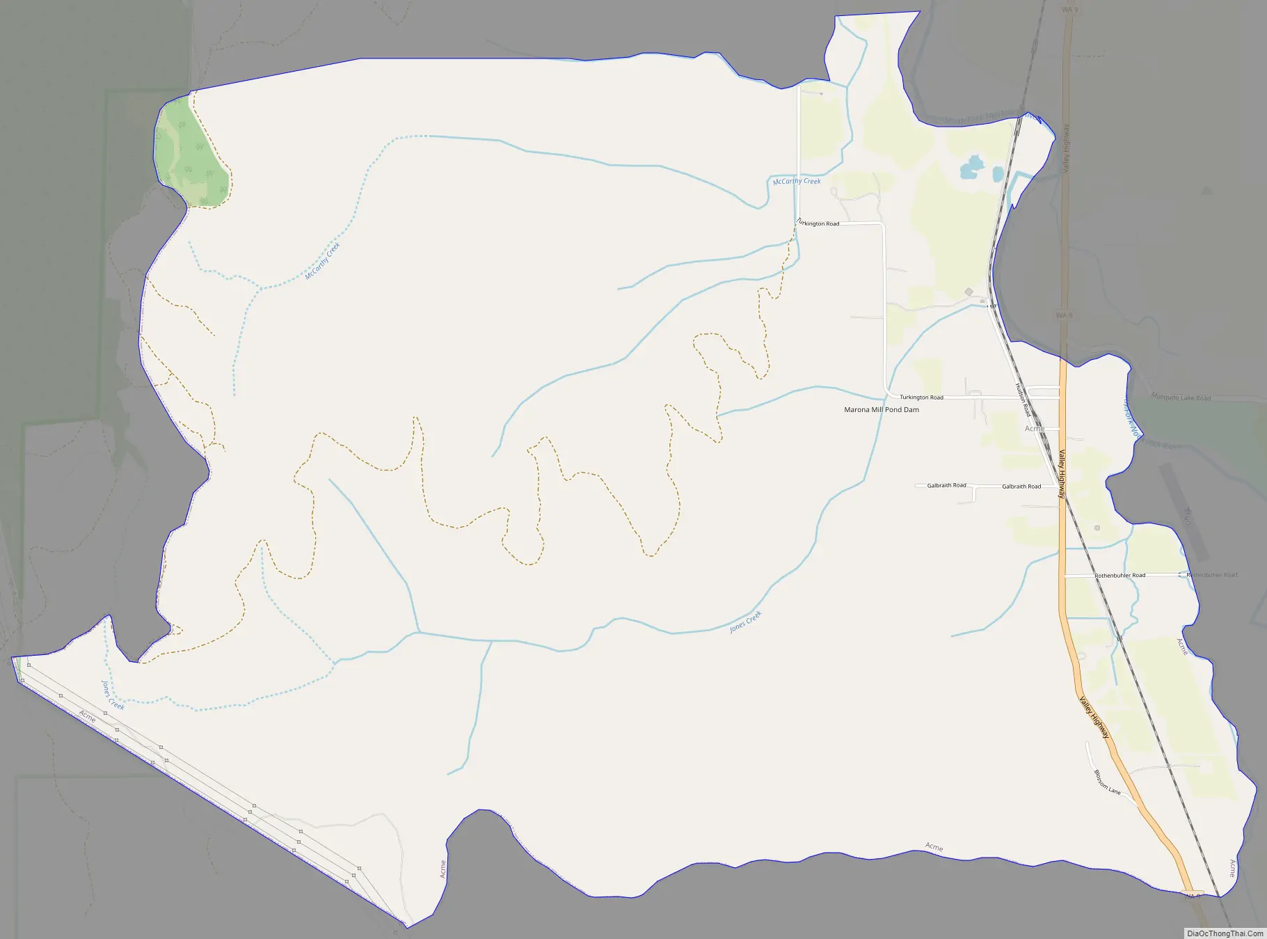
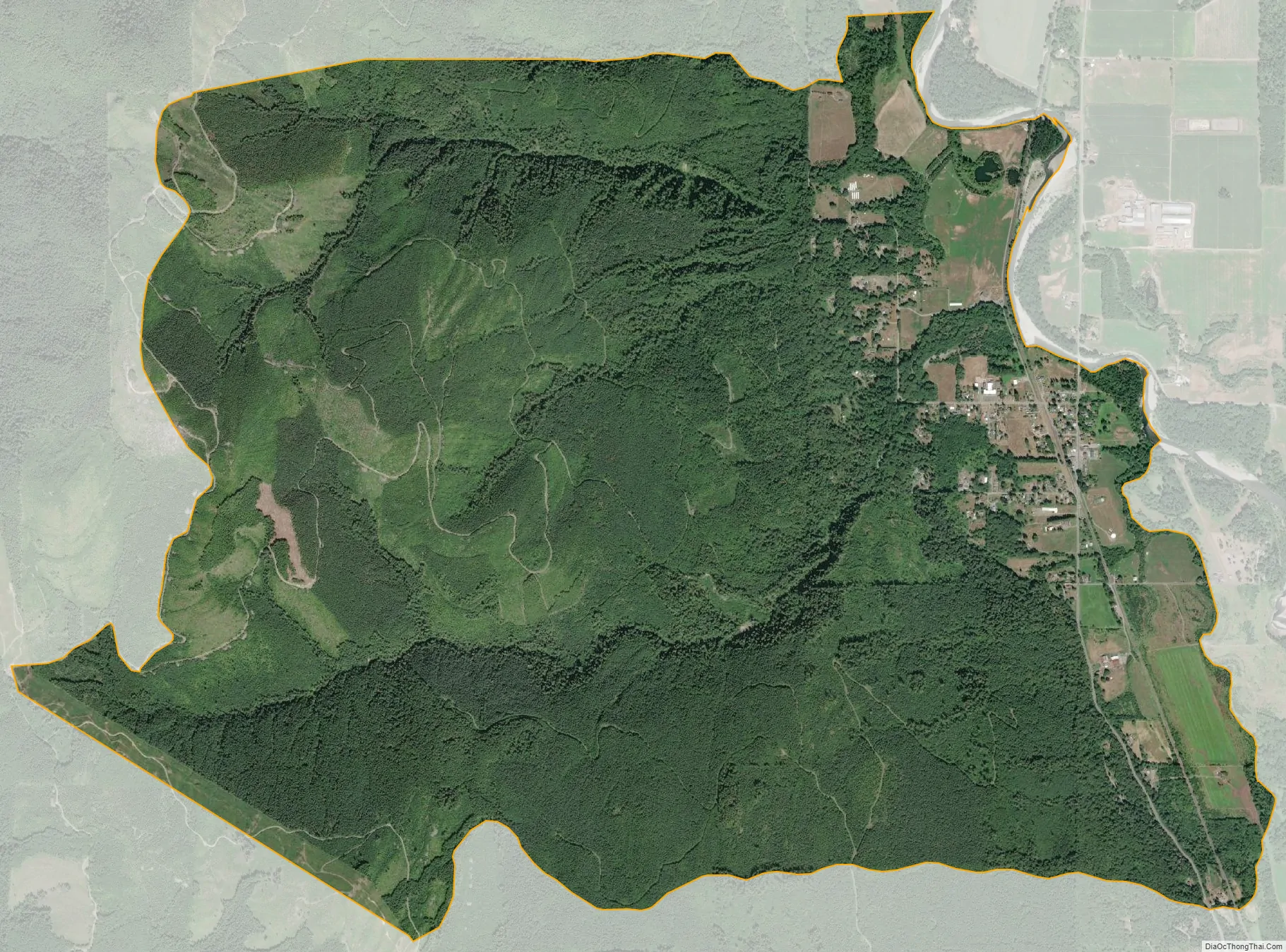
Acme is a rural village in Whatcom County, Washington, United States. There is a general store, post office, gas station, diner, elementary school and two churches located there. Acme is also included in, and the source-name for, a larger census-designated place (CDP). The Census Bureau no longer tracks the population for the village itself, but for the entire CDP the population was 246 at the 2010 census.
Acme is located in the South Fork Valley between the northern Cascade Mountains and Lake Whatcom. Acme is locally known as a scenic area with a number of camping opportunities along Lake Whatcom, including the Lake Whatcom Railroad.
| Name: | Acme CDP |
|---|---|
| LSAD Code: | 57 |
| LSAD Description: | CDP (suffix) |
| State: | Washington |
| County: | Whatcom County |
| Elevation: | 305 ft (93 m) |
| Total Area: | 9.8 sq mi (25.4 km²) |
| Land Area: | 9.8 sq mi (25.4 km²) |
| Water Area: | 0.0 sq mi (0.0 km²) |
| Total Population: | 246 |
| Population Density: | 26.8/sq mi (10.4/km²) |
| ZIP code: | 98220 |
| Area code: | 360 |
| FIPS code: | 5300275 |
| GNISfeature ID: | 1515719 |
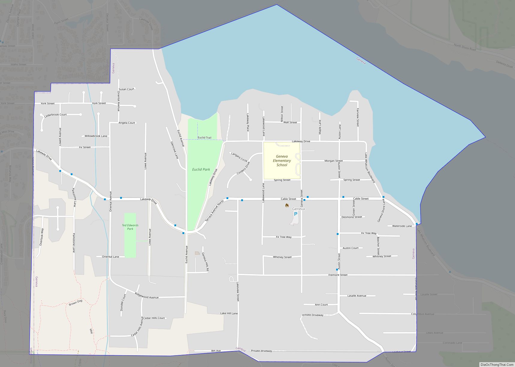
Online Interactive Map
Click on ![]() to view map in "full screen" mode.
to view map in "full screen" mode.
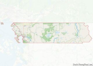
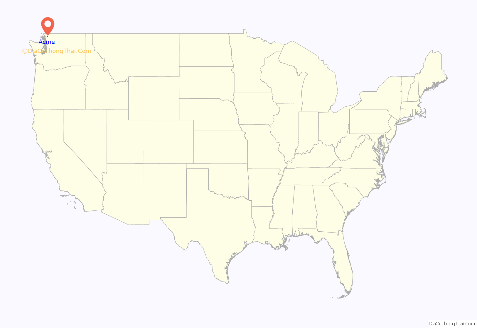
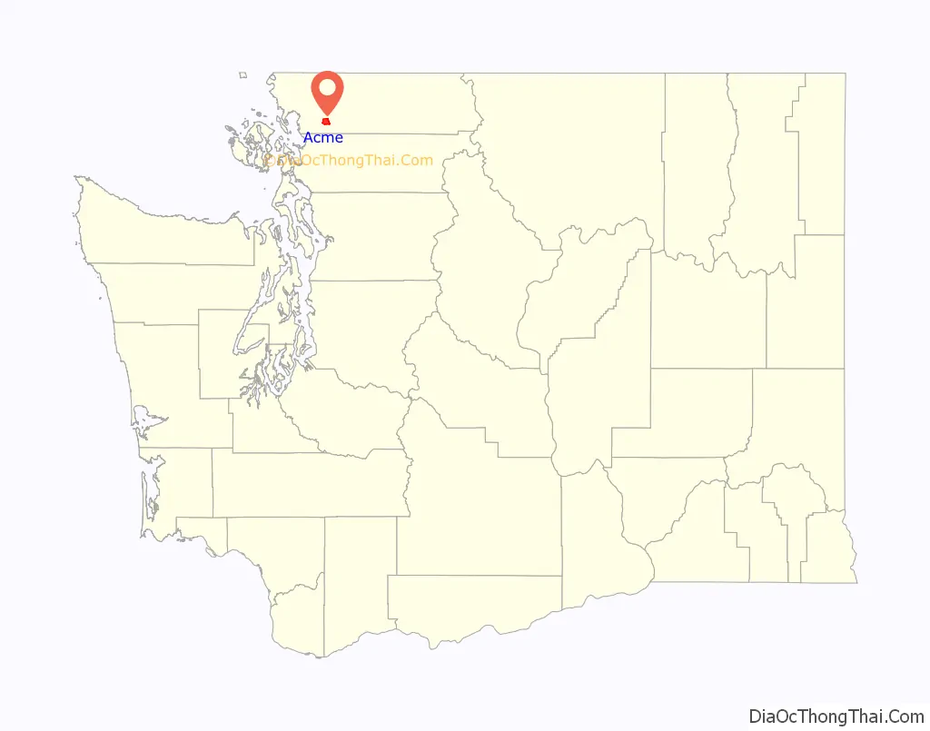
Acme location map. Where is Acme CDP?
History
There are two accounts on how Acme was named.
The first states that Acme was named by Samuel Parks around 1887 after the name of a hymnal in his possession.
The second claims that in 1887, resident George Parls named the town after a local church’s newly received Acme hymn book.
Either way, the English word acme is from a Greek word meaning culmination or top or highest point.
Acme Road Map
Acme city Satellite Map
Geography
Acme is located at 48°42′55″N 122°12′36″W / 48.71528°N 122.21000°W / 48.71528; -122.21000 (48.715402, -122.209954).
According to the United States Census Bureau, the CDP has a total area of 9.8 square miles (25.4 km), all of it land.
See also
Map of Washington State and its subdivision:- Adams
- Asotin
- Benton
- Chelan
- Clallam
- Clark
- Columbia
- Cowlitz
- Douglas
- Ferry
- Franklin
- Garfield
- Grant
- Grays Harbor
- Island
- Jefferson
- King
- Kitsap
- Kittitas
- Klickitat
- Lewis
- Lincoln
- Mason
- Okanogan
- Pacific
- Pend Oreille
- Pierce
- San Juan
- Skagit
- Skamania
- Snohomish
- Spokane
- Stevens
- Thurston
- Wahkiakum
- Walla Walla
- Whatcom
- Whitman
- Yakima
- Alabama
- Alaska
- Arizona
- Arkansas
- California
- Colorado
- Connecticut
- Delaware
- District of Columbia
- Florida
- Georgia
- Hawaii
- Idaho
- Illinois
- Indiana
- Iowa
- Kansas
- Kentucky
- Louisiana
- Maine
- Maryland
- Massachusetts
- Michigan
- Minnesota
- Mississippi
- Missouri
- Montana
- Nebraska
- Nevada
- New Hampshire
- New Jersey
- New Mexico
- New York
- North Carolina
- North Dakota
- Ohio
- Oklahoma
- Oregon
- Pennsylvania
- Rhode Island
- South Carolina
- South Dakota
- Tennessee
- Texas
- Utah
- Vermont
- Virginia
- Washington
- West Virginia
- Wisconsin
- Wyoming