Birch Bay is a protected bay of the east shore of the Salish Sea, between Semiahmoo Bay and Lummi Bay; approximately 100 miles (160 km) north of Seattle and 35 miles (56 km) south of Vancouver, BC, Canada.
The bay gives its name to a census-designated place (CDP) along the bay’s shore in Whatcom County, Washington, United States. The population was 8,413 at the 2010 census, a 69.6% increase over the 2000 census.
Birch Bay was named in 1792 by Archibald Menzies, a member of the Vancouver Expedition. Vancouver’s two ships used Birch Bay as an anchorage for several days. Menzies noted a number of species of birch and gave the name to the bay.
| Name: | Birch Bay CDP |
|---|---|
| LSAD Code: | 57 |
| LSAD Description: | CDP (suffix) |
| State: | Washington |
| County: | Whatcom County |
| Elevation: | 10 ft (3 m) |
| Total Area: | 21.2 sq mi (54.9 km²) |
| Land Area: | 15.8 sq mi (41.0 km²) |
| Water Area: | 5.4 sq mi (14.0 km²) |
| Total Population: | 8,413 |
| Population Density: | 532.5/sq mi (205.2/km²) |
| ZIP code: | 98230 |
| Area code: | 360 |
| FIPS code: | 5306190 |
| GNISfeature ID: | 1512009 |
Online Interactive Map
Click on ![]() to view map in "full screen" mode.
to view map in "full screen" mode.
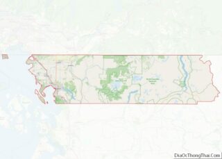
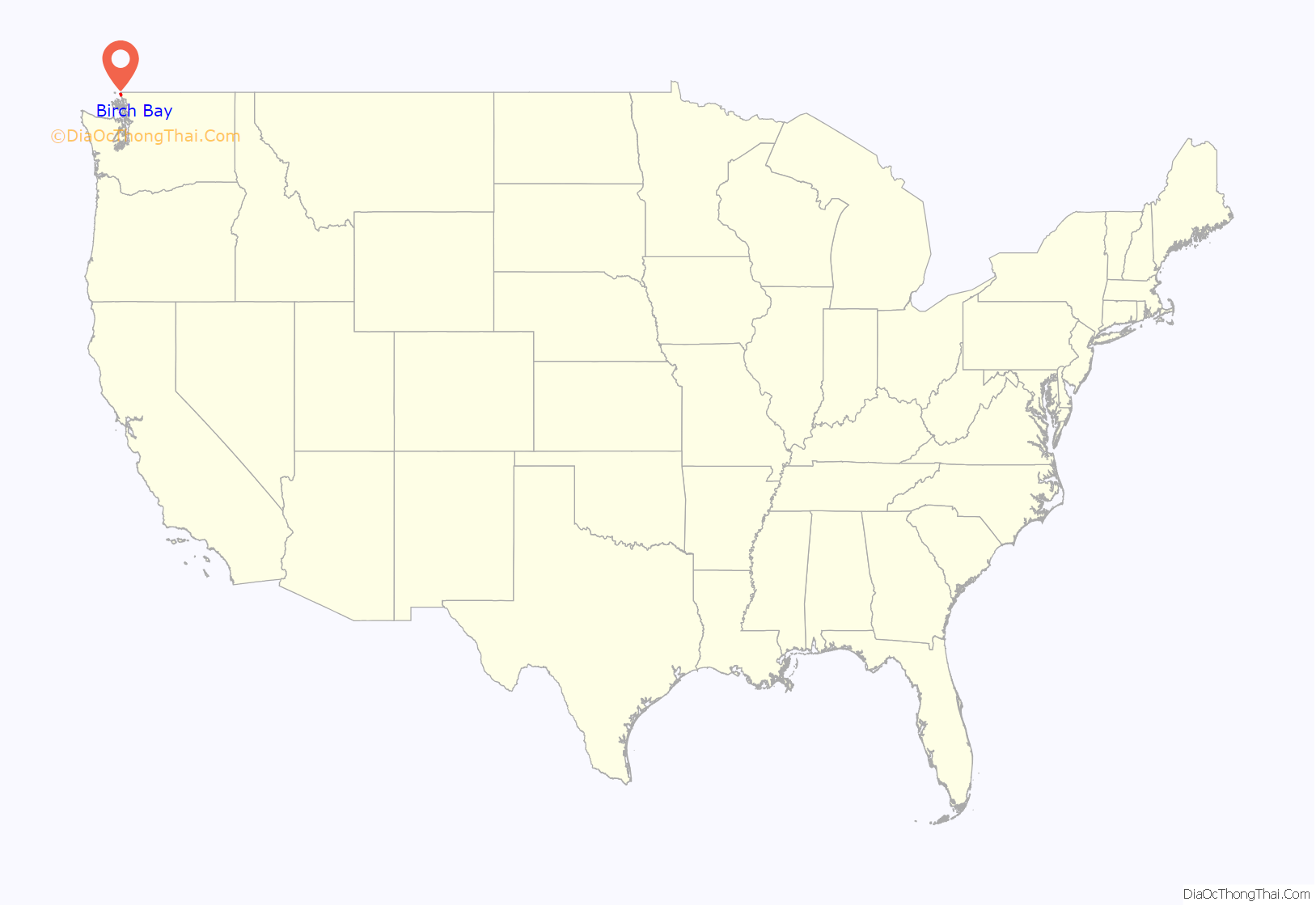
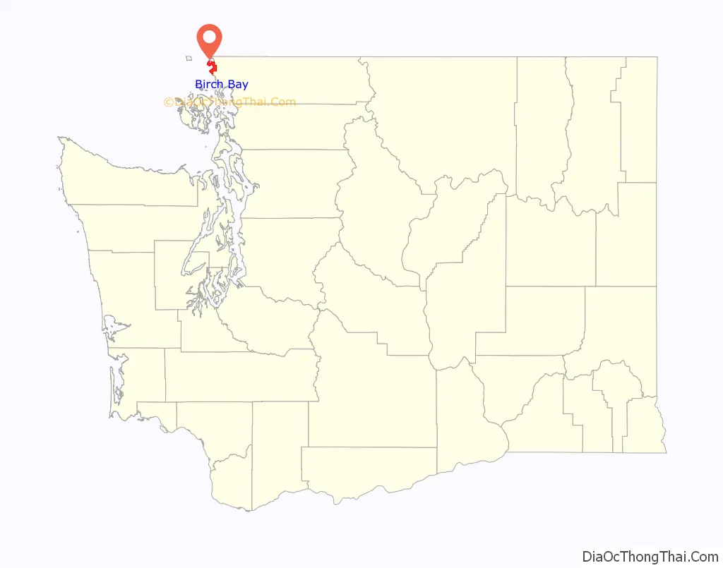
Birch Bay location map. Where is Birch Bay CDP?
History
In the 2000s, the development of condominiums and vacation homes became more prominent in Birch Bay due to high demand from wealthier clientele in the United States and Canada. A proposal to incorporate the community as a city was announced in 2023 following earlier attempts and discussion. By 2020, Birch Bay had grown to approximately 10,000 people, making it larger than all but three cities in Whatcom County.
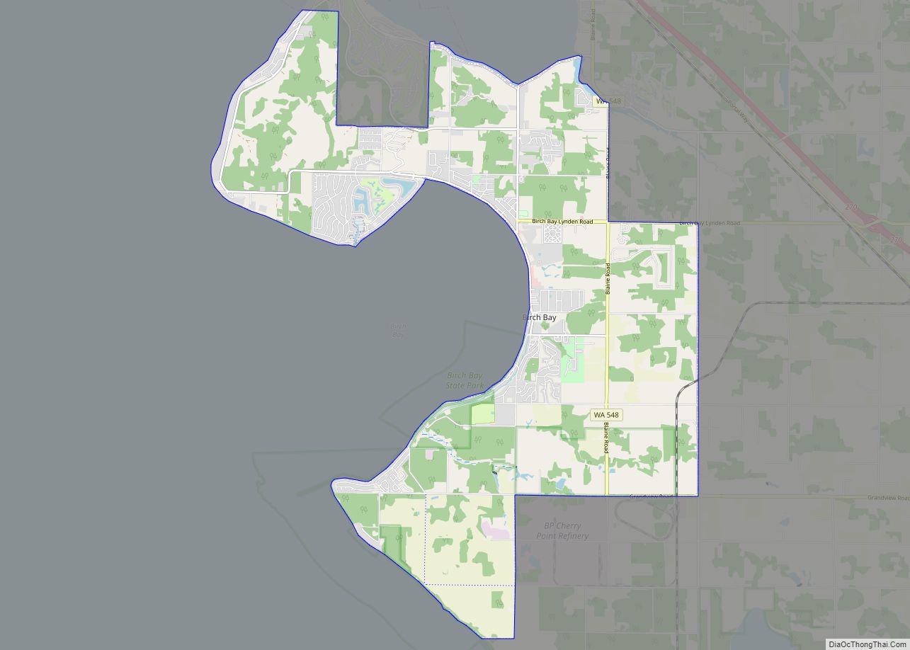
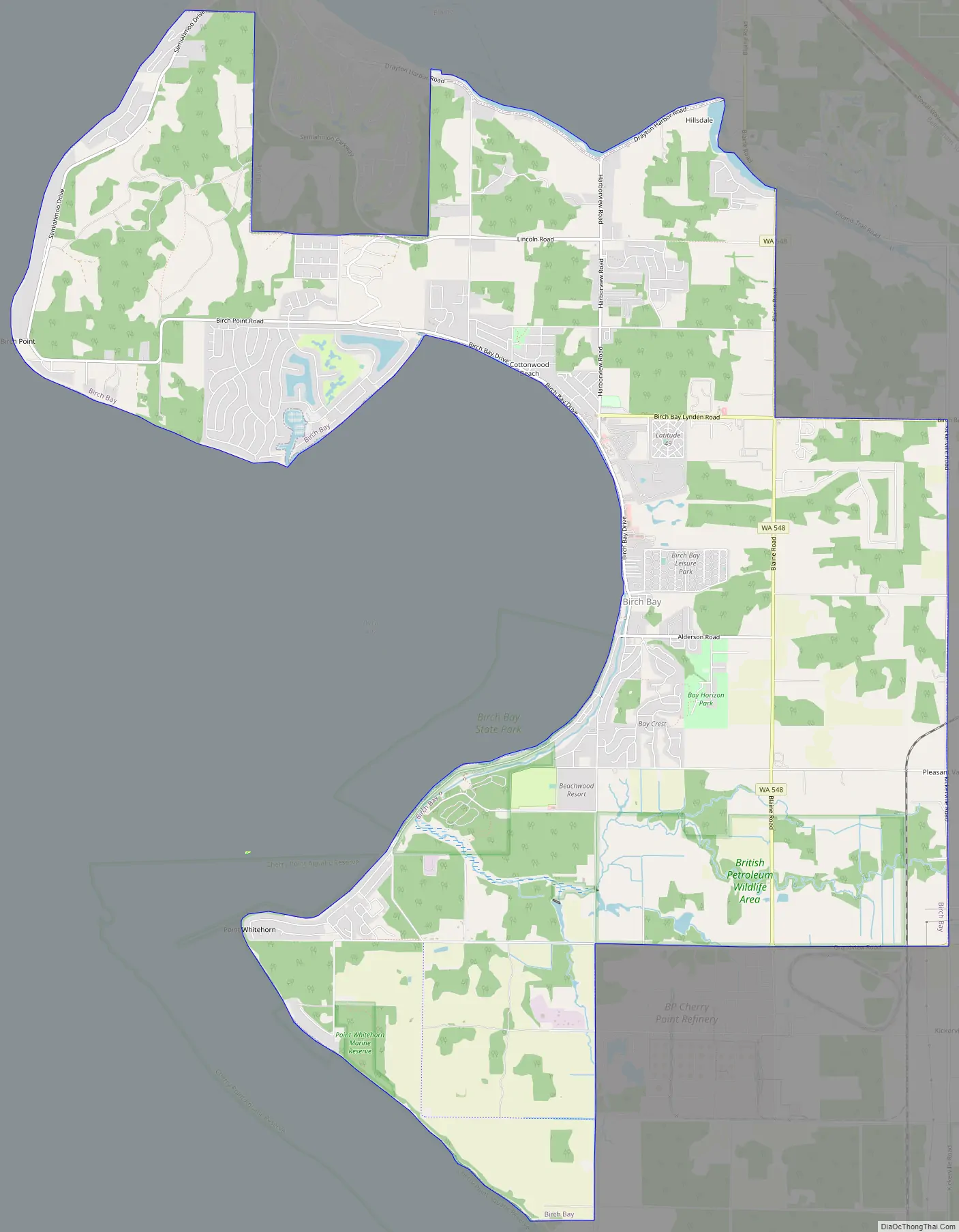
Birch Bay Road Map
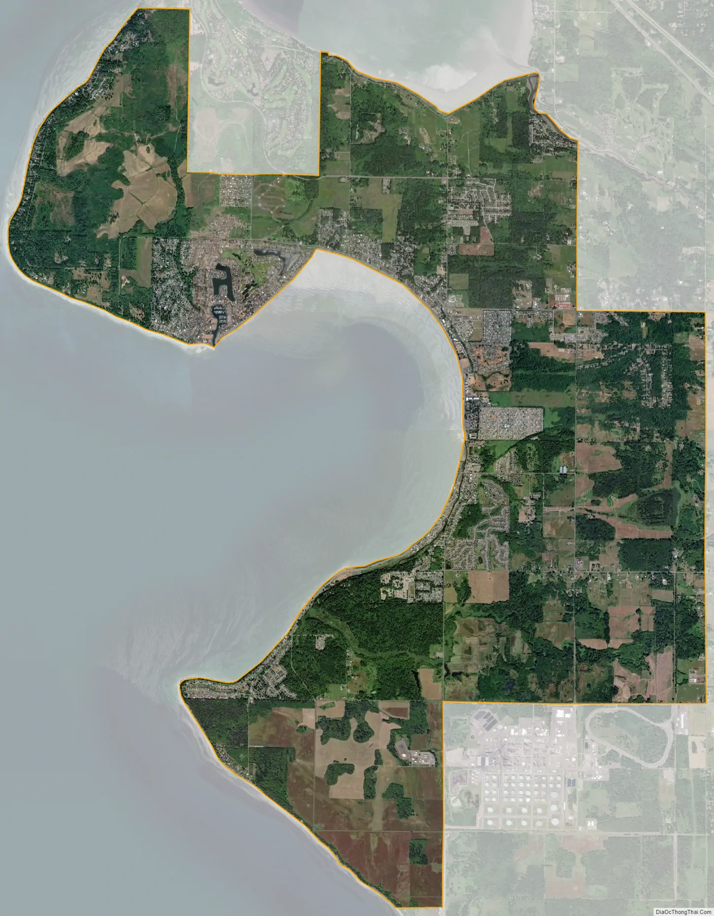
Birch Bay city Satellite Map
Geography
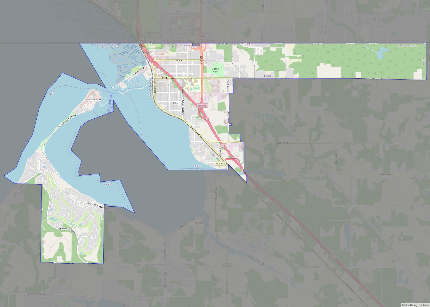
Birch Bay is on the Salish Sea in northwestern Whatcom County, about 6 miles (9.7 km) south of the Canada–United States border and 37 miles (60 km) from Vancouver, British Columbia. The community that surrounds the bay is connected by State Route 548, a short highway that runs between two interchanges on Interstate 5 near Ferndale and in Blaine.
According to the United States Census Bureau, the CDP has a total area of 21.2 square miles (55.0 km), of which, 15.8 square miles (40.9 km) of it is land and 5.4 square miles (14.0 km) of it (25.45%) is water.
Geology
Birch Bay is a headland bay created by the refraction of incoming waves on the headlands that lie on either side of the bay. The headland to the north is Birch Point, and the one to the south is Point Whitehorn. The waves bend as they enter the bay and lose energy in the process. The result is a half-moon-shaped bay with a gentle sloping beach. The beach has been modified in past years by the implementation of groins and riprap. Terrell Creek runs parallel along a section of the beach, eventually flowing into the bay.
See also
Map of Washington State and its subdivision:- Adams
- Asotin
- Benton
- Chelan
- Clallam
- Clark
- Columbia
- Cowlitz
- Douglas
- Ferry
- Franklin
- Garfield
- Grant
- Grays Harbor
- Island
- Jefferson
- King
- Kitsap
- Kittitas
- Klickitat
- Lewis
- Lincoln
- Mason
- Okanogan
- Pacific
- Pend Oreille
- Pierce
- San Juan
- Skagit
- Skamania
- Snohomish
- Spokane
- Stevens
- Thurston
- Wahkiakum
- Walla Walla
- Whatcom
- Whitman
- Yakima
- Alabama
- Alaska
- Arizona
- Arkansas
- California
- Colorado
- Connecticut
- Delaware
- District of Columbia
- Florida
- Georgia
- Hawaii
- Idaho
- Illinois
- Indiana
- Iowa
- Kansas
- Kentucky
- Louisiana
- Maine
- Maryland
- Massachusetts
- Michigan
- Minnesota
- Mississippi
- Missouri
- Montana
- Nebraska
- Nevada
- New Hampshire
- New Jersey
- New Mexico
- New York
- North Carolina
- North Dakota
- Ohio
- Oklahoma
- Oregon
- Pennsylvania
- Rhode Island
- South Carolina
- South Dakota
- Tennessee
- Texas
- Utah
- Vermont
- Virginia
- Washington
- West Virginia
- Wisconsin
- Wyoming