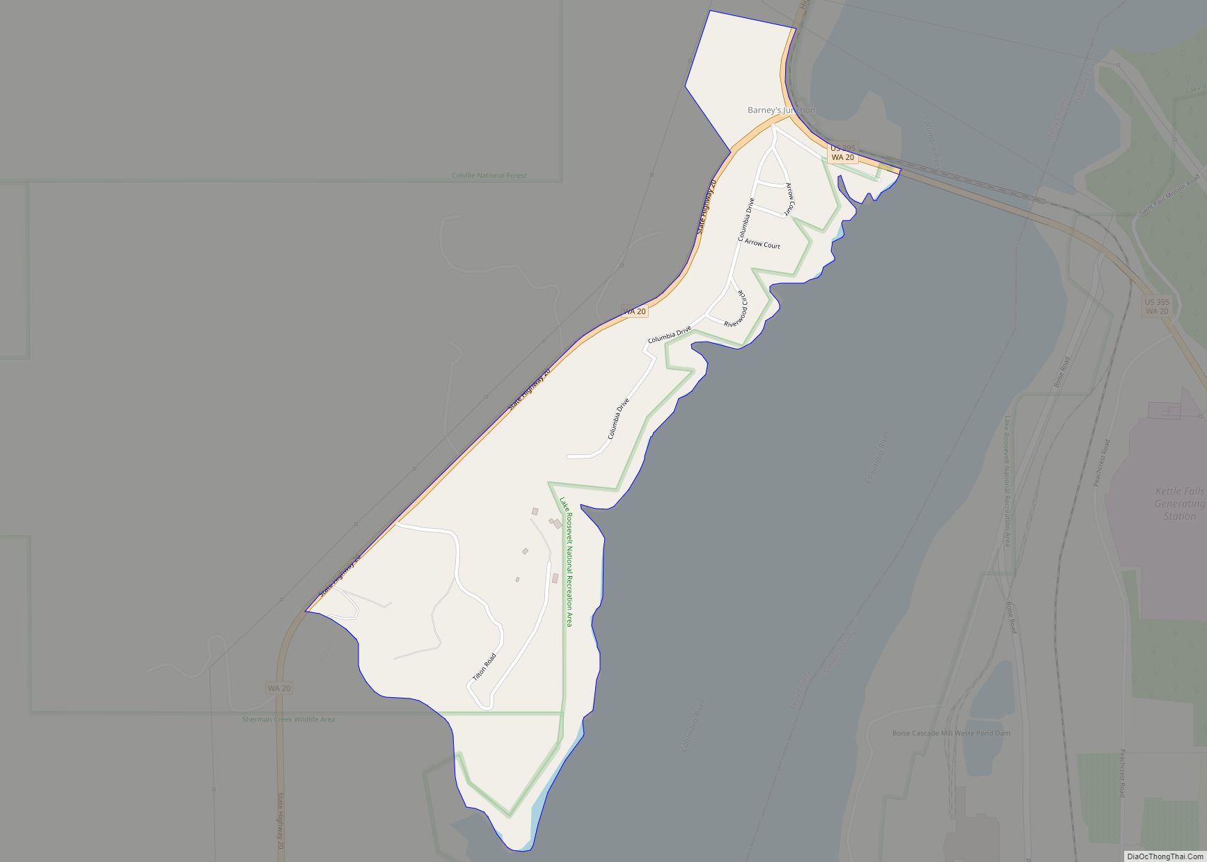
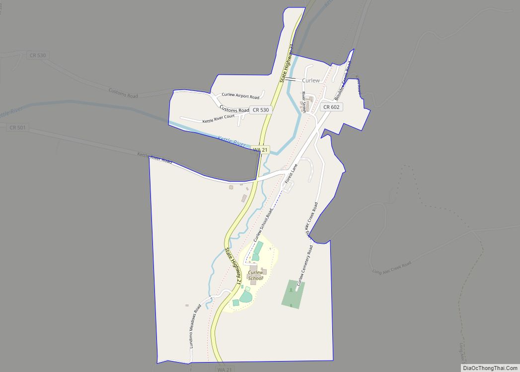
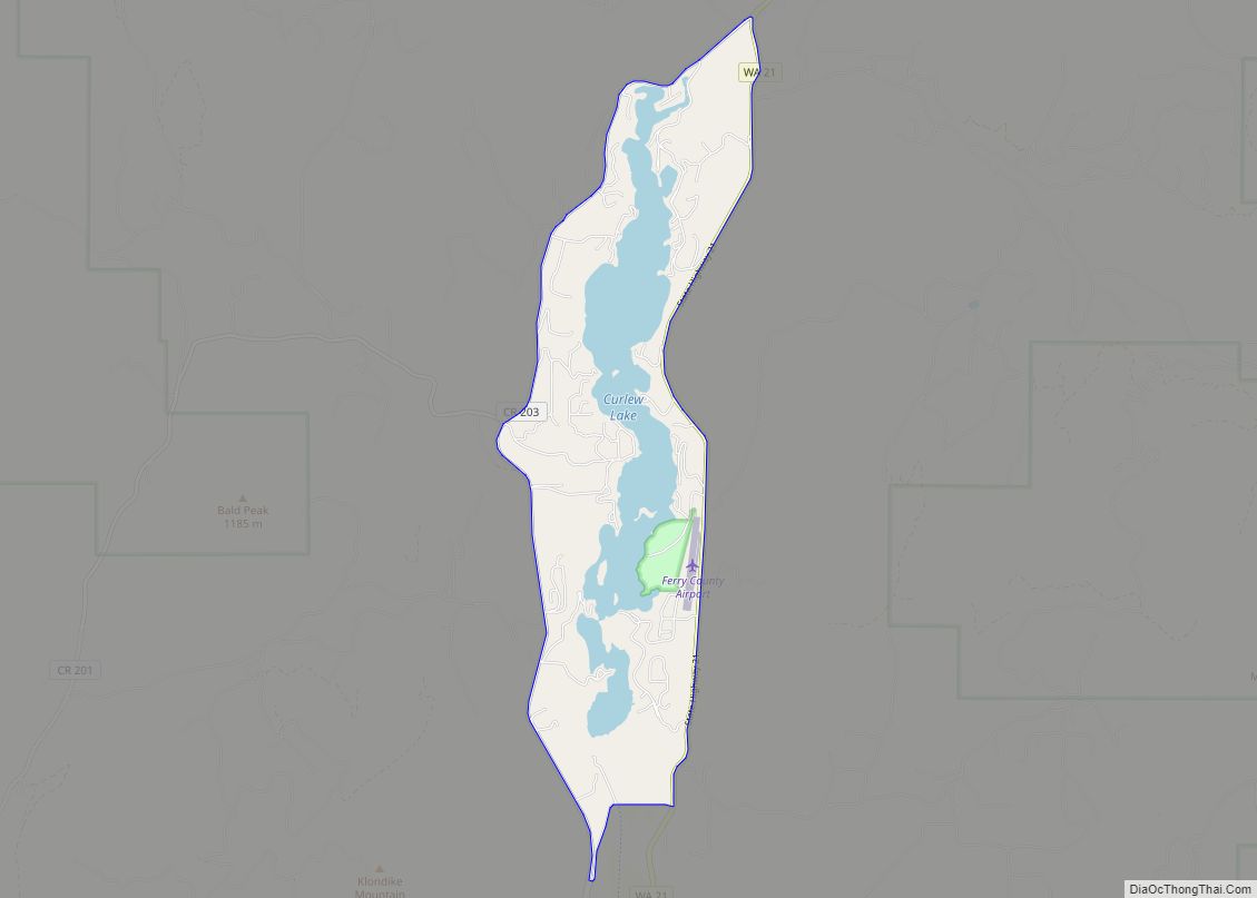
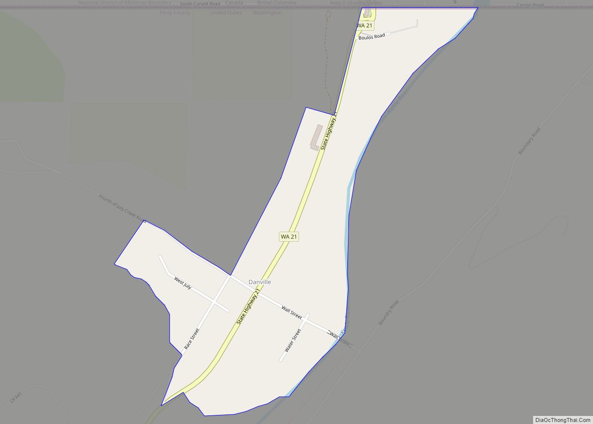
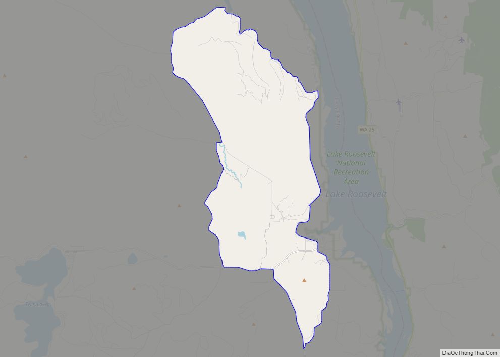
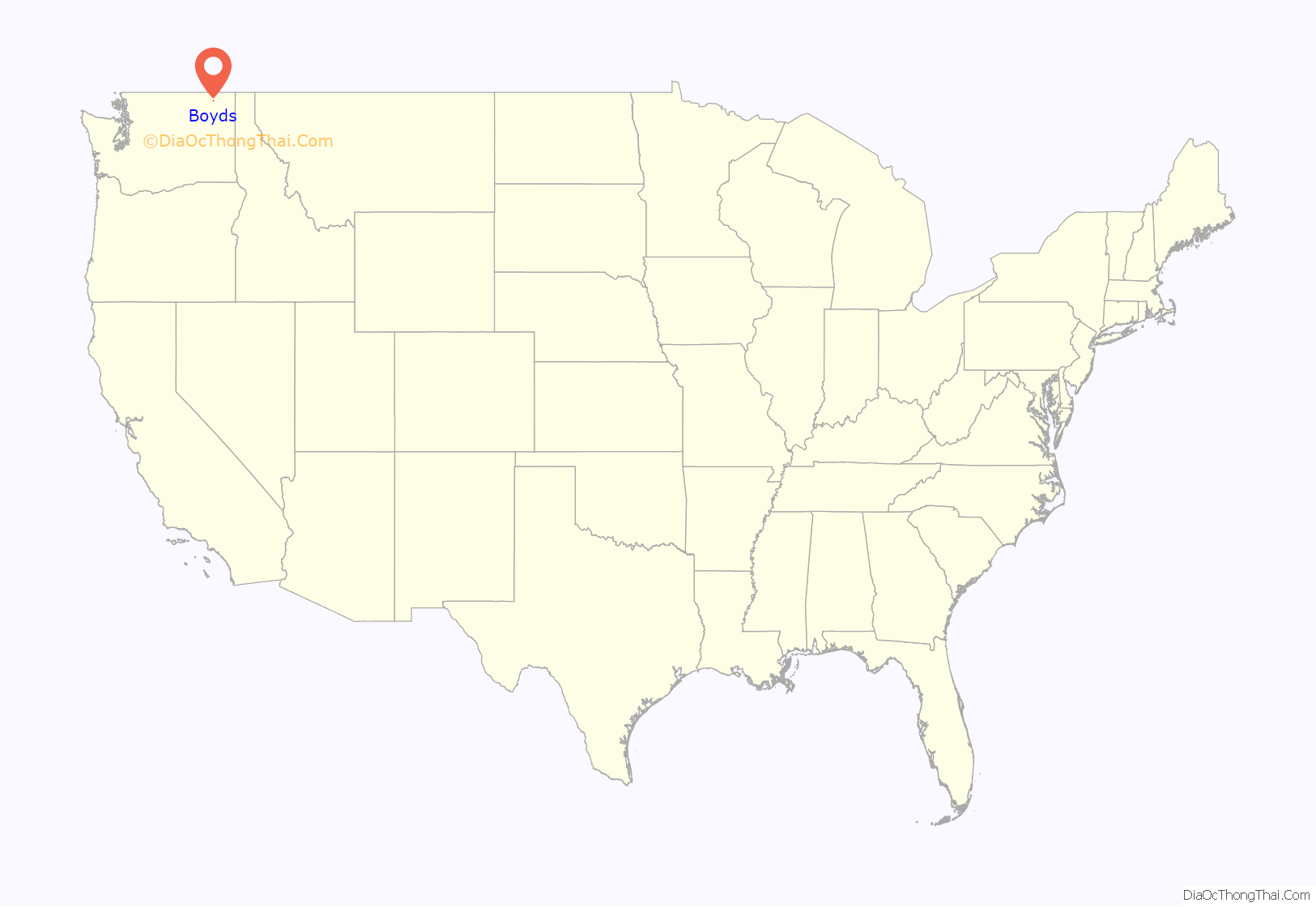
Boyds is an unincorporated community and census-designated place (CDP) in Ferry County, Washington, United States. Boyds is located along U.S. Route 395 at the north end of the Lake Roosevelt National Recreation Area on the west side of the Kettle River, which serves as a boundary with Stevens County. The community of Barstow is 4 miles (6 km) to the north, and the city of Kettle Falls is 10 miles (16 km) to the south on US 395. Boyds was formerly assigned the ZIP code 99107 and had a 2010 census population of 34.
| Name: | Boyds CDP |
|---|---|
| LSAD Code: | 57 |
| LSAD Description: | CDP (suffix) |
| State: | Washington |
| County: | Ferry County |
| Elevation: | 1,352 ft (412 m) |
| Total Area: | 0.19 sq mi (0.50 km²) |
| Land Area: | 0.19 sq mi (0.50 km²) |
| Water Area: | 0.0 sq mi (0.0 km²) |
| Total Population: | 34 |
| Population Density: | 175/sq mi (67.5/km²) |
| Area code: | 509 |
| FIPS code: | 5307485 |
| GNISfeature ID: | 1516912 |
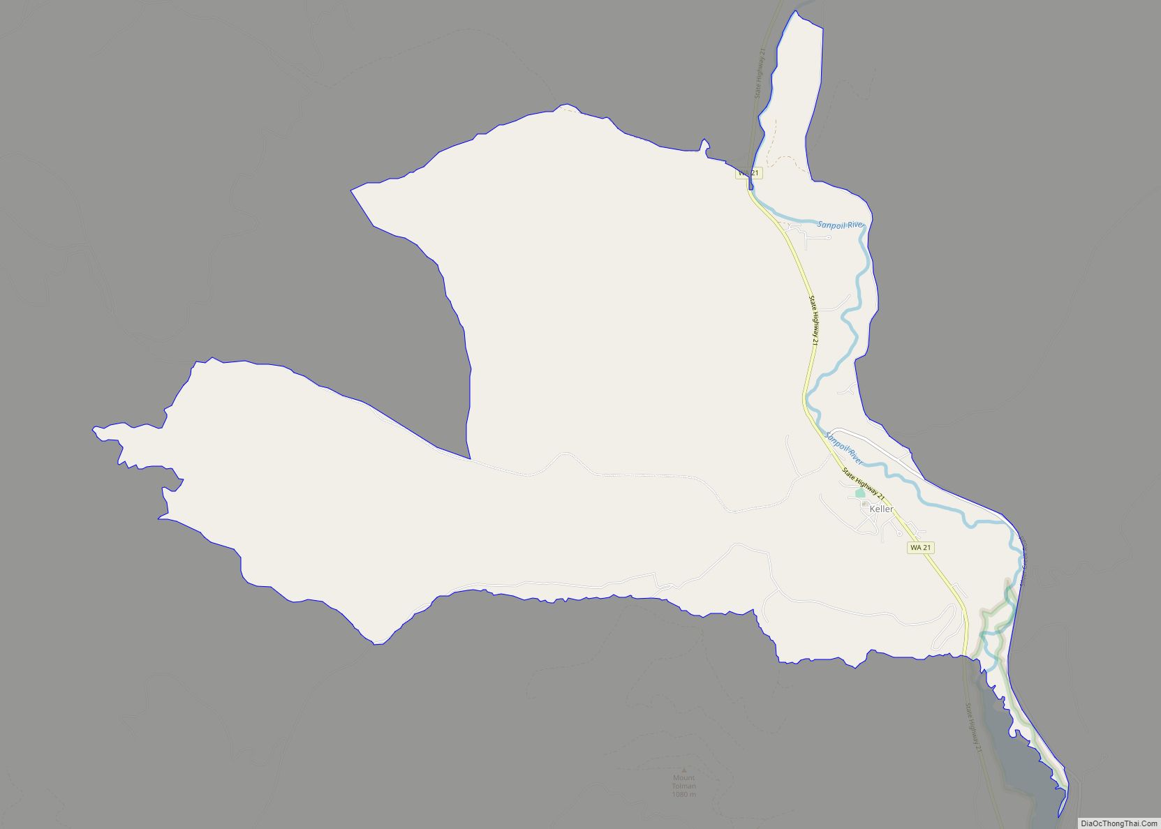
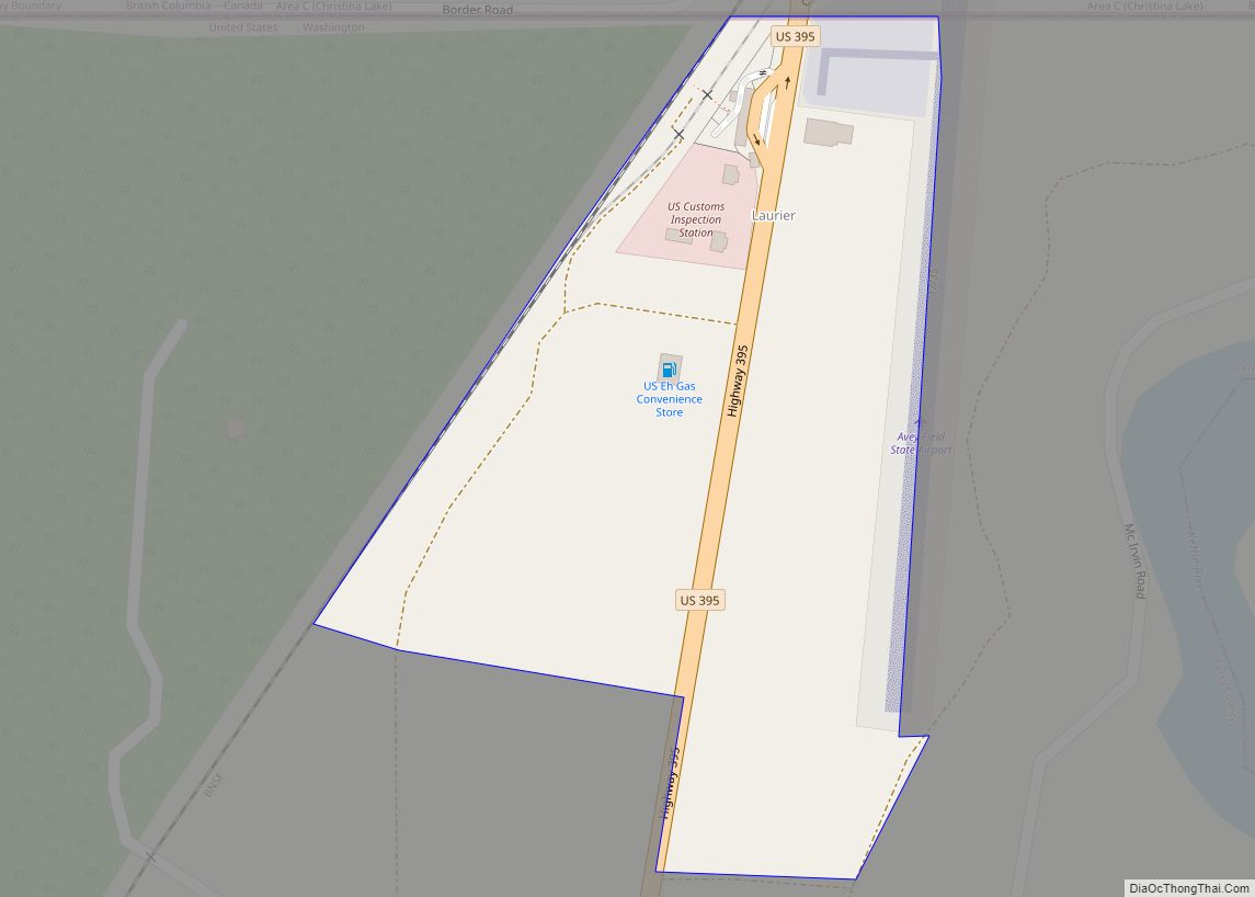
Online Interactive Map
Click on ![]() to view map in "full screen" mode.
to view map in "full screen" mode.
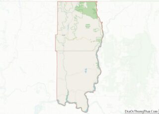
Boyds location map. Where is Boyds CDP?
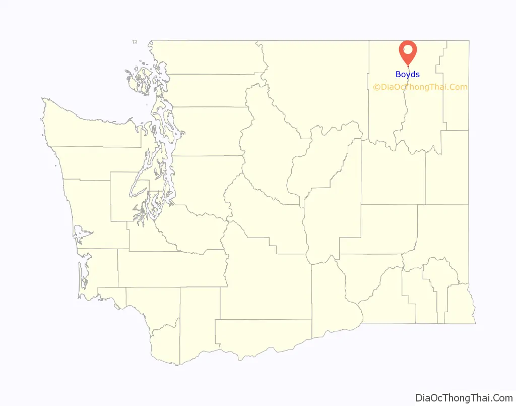
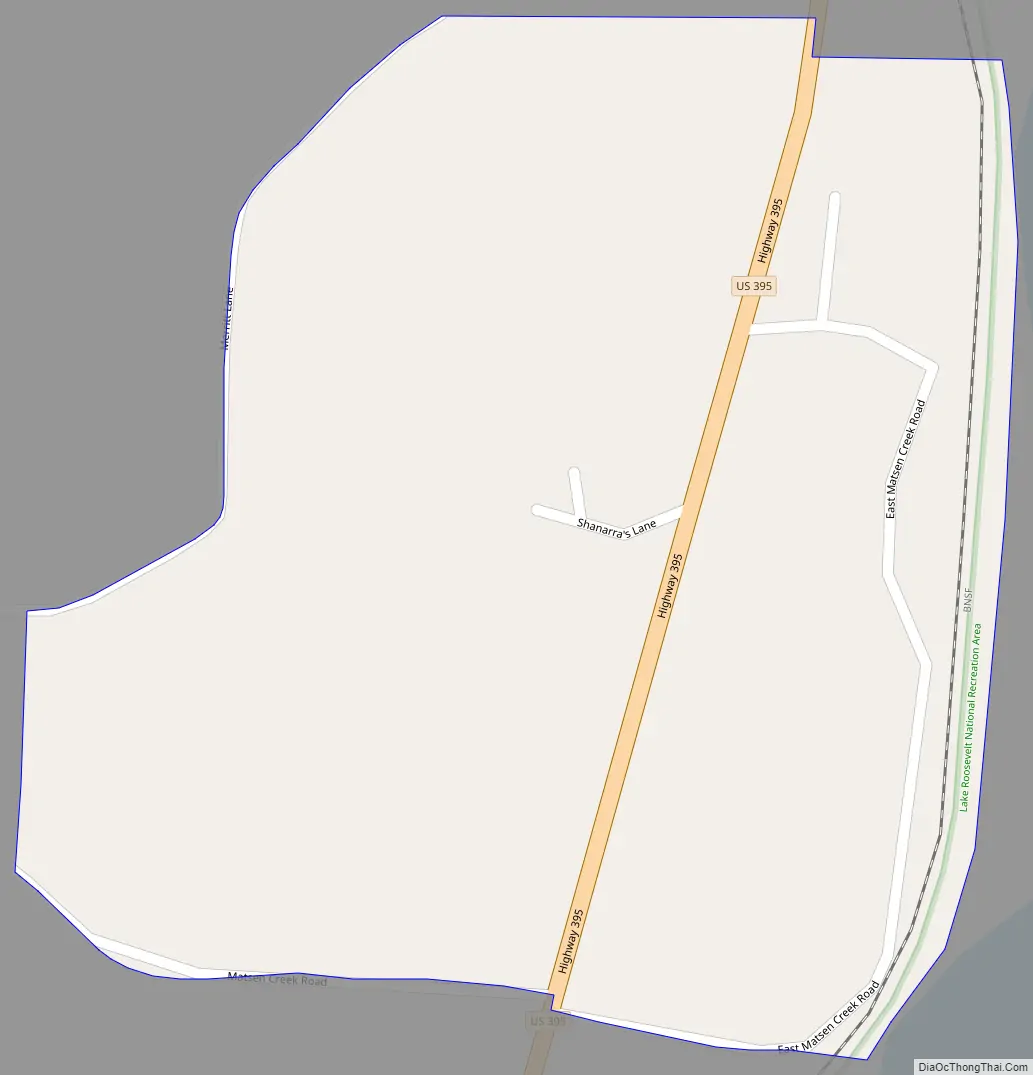
Boyds Road Map
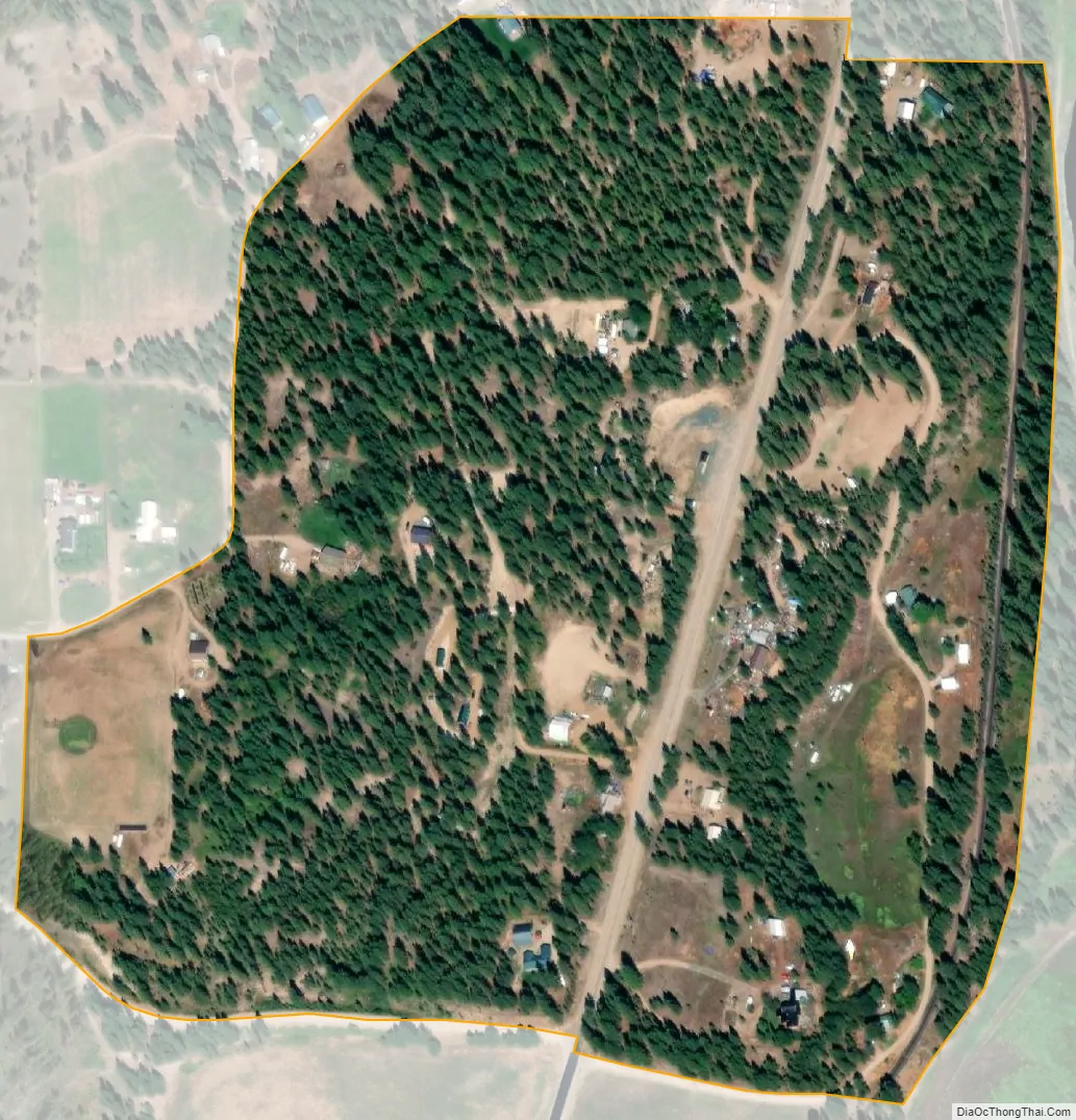
Boyds city Satellite Map
See also
Map of Washington State and its subdivision:- Adams
- Asotin
- Benton
- Chelan
- Clallam
- Clark
- Columbia
- Cowlitz
- Douglas
- Ferry
- Franklin
- Garfield
- Grant
- Grays Harbor
- Island
- Jefferson
- King
- Kitsap
- Kittitas
- Klickitat
- Lewis
- Lincoln
- Mason
- Okanogan
- Pacific
- Pend Oreille
- Pierce
- San Juan
- Skagit
- Skamania
- Snohomish
- Spokane
- Stevens
- Thurston
- Wahkiakum
- Walla Walla
- Whatcom
- Whitman
- Yakima
- Alabama
- Alaska
- Arizona
- Arkansas
- California
- Colorado
- Connecticut
- Delaware
- District of Columbia
- Florida
- Georgia
- Hawaii
- Idaho
- Illinois
- Indiana
- Iowa
- Kansas
- Kentucky
- Louisiana
- Maine
- Maryland
- Massachusetts
- Michigan
- Minnesota
- Mississippi
- Missouri
- Montana
- Nebraska
- Nevada
- New Hampshire
- New Jersey
- New Mexico
- New York
- North Carolina
- North Dakota
- Ohio
- Oklahoma
- Oregon
- Pennsylvania
- Rhode Island
- South Carolina
- South Dakota
- Tennessee
- Texas
- Utah
- Vermont
- Virginia
- Washington
- West Virginia
- Wisconsin
- Wyoming