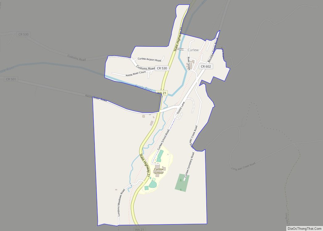
Curlew is an unincorporated community and census-designated place (CDP) located in northwestern Ferry County, Washington, United States, between Malo and Danville on State Route 21. The BNSF Railway ran through the town. The historic Ansorge Hotel is located in Curlew. As of the 2010 census, the population of the community was 118. The settlement is named for the curlew birds once prevalent in the area.
| Name: | Curlew CDP |
|---|---|
| LSAD Code: | 57 |
| LSAD Description: | CDP (suffix) |
| State: | Washington |
| County: | Ferry County |
| Elevation: | 1,801 ft (549 m) |
| Total Area: | 0.76 sq mi (1.96 km²) |
| Land Area: | 0.76 sq mi (1.96 km²) |
| Water Area: | 0.0 sq mi (0.0 km²) |
| Total Population: | 118 |
| Population Density: | 156/sq mi (60.1/km²) |
| ZIP code: | 99118 |
| Area code: | 509 |
| FIPS code: | 5316165 |
| GNISfeature ID: | 1518417 |
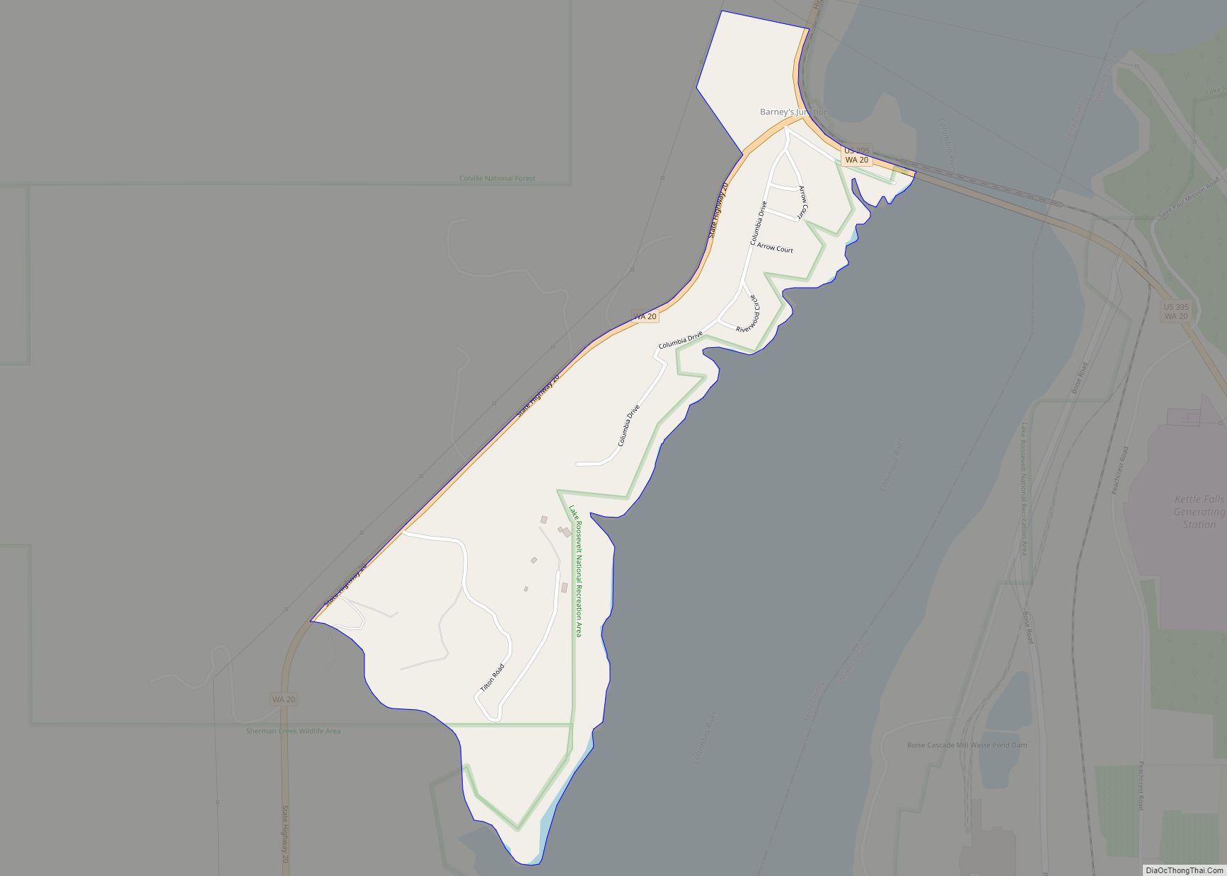
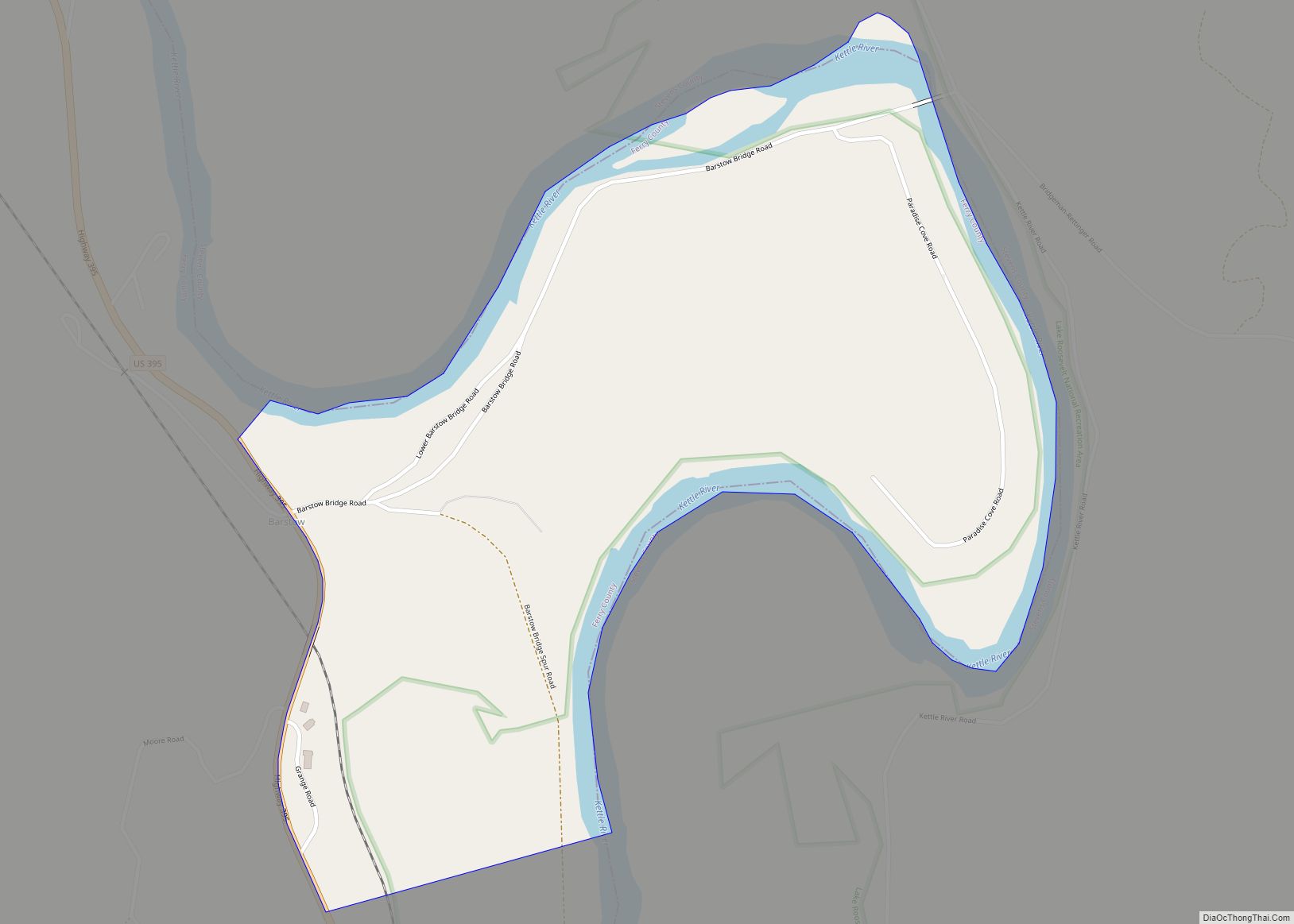
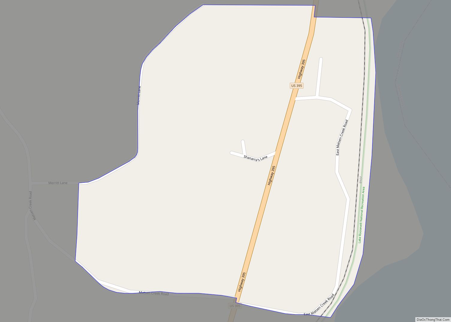
Online Interactive Map
Click on ![]() to view map in "full screen" mode.
to view map in "full screen" mode.
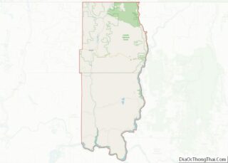
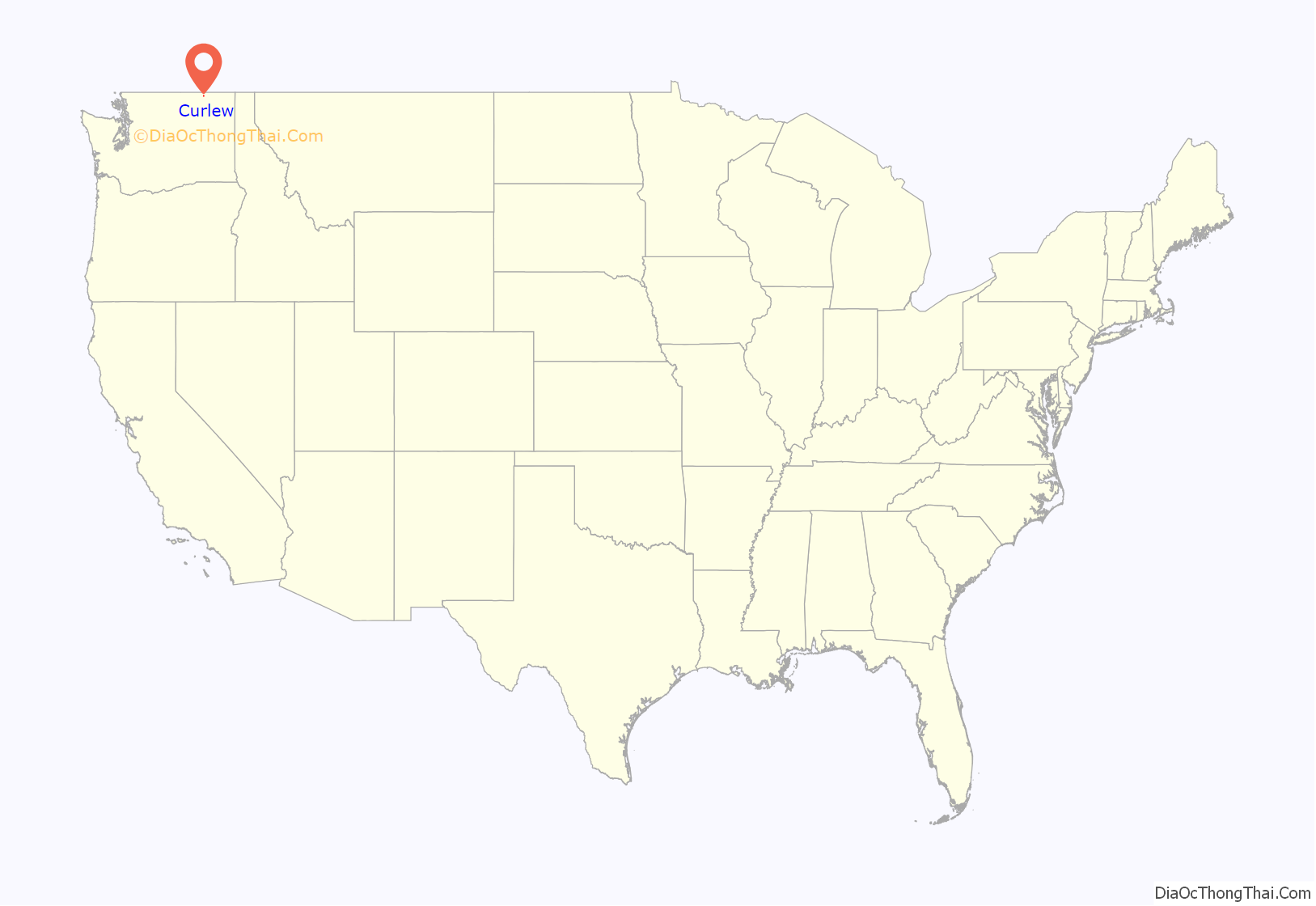
Curlew location map. Where is Curlew CDP?
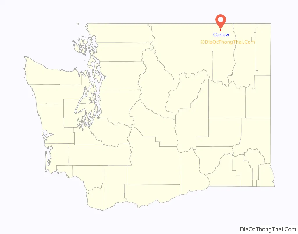
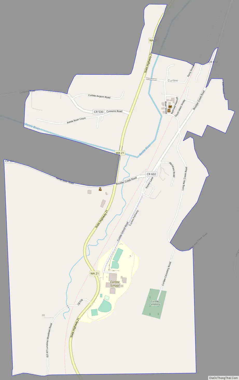
Curlew Road Map
Curlew city Satellite Map

Geography
Curlew is located at the confluence of Long Alec Creek and the Kettle River. Its elevation is 1,800 feet (550 m) above sea level. Via State Route 21, it is 21 miles (34 km) north of Republic, the Ferry County seat, and 10 miles (16 km) south of the Canadian border.
One of the most popular sites on the Kettle River in summer is “the Old Swimming Hole” near the center of town. Curlew was a pick-up point for moonshine that was dropped in the Kettle River. The tradition is still celebrated on the first Sunday in June each year during the Curlew Barrel Derby Days. A barrel is set adrift in the Kettle River at the Job Corps Bridge, and local citizens bet on when it will reach town.
See also
Map of Washington State and its subdivision:- Adams
- Asotin
- Benton
- Chelan
- Clallam
- Clark
- Columbia
- Cowlitz
- Douglas
- Ferry
- Franklin
- Garfield
- Grant
- Grays Harbor
- Island
- Jefferson
- King
- Kitsap
- Kittitas
- Klickitat
- Lewis
- Lincoln
- Mason
- Okanogan
- Pacific
- Pend Oreille
- Pierce
- San Juan
- Skagit
- Skamania
- Snohomish
- Spokane
- Stevens
- Thurston
- Wahkiakum
- Walla Walla
- Whatcom
- Whitman
- Yakima
- Alabama
- Alaska
- Arizona
- Arkansas
- California
- Colorado
- Connecticut
- Delaware
- District of Columbia
- Florida
- Georgia
- Hawaii
- Idaho
- Illinois
- Indiana
- Iowa
- Kansas
- Kentucky
- Louisiana
- Maine
- Maryland
- Massachusetts
- Michigan
- Minnesota
- Mississippi
- Missouri
- Montana
- Nebraska
- Nevada
- New Hampshire
- New Jersey
- New Mexico
- New York
- North Carolina
- North Dakota
- Ohio
- Oklahoma
- Oregon
- Pennsylvania
- Rhode Island
- South Carolina
- South Dakota
- Tennessee
- Texas
- Utah
- Vermont
- Virginia
- Washington
- West Virginia
- Wisconsin
- Wyoming