Brady is a census-designated place (CDP) in Grays Harbor County, Washington, United States. The population was 676 at the 2010 census.
| Name: | Brady CDP |
|---|---|
| LSAD Code: | 57 |
| LSAD Description: | CDP (suffix) |
| State: | Washington |
| County: | Grays Harbor County |
| Elevation: | 46 ft (14 m) |
| Total Area: | 6.14 sq mi (15.89 km²) |
| Land Area: | 6.11 sq mi (15.83 km²) |
| Water Area: | 0.02 sq mi (0.06 km²) |
| Total Population: | 676 |
| Population Density: | 111/sq mi (42.7/km²) |
| ZIP code: | 98563 |
| Area code: | 360 |
| FIPS code: | 5307590 |
| GNISfeature ID: | 1512024 |
Online Interactive Map
Click on ![]() to view map in "full screen" mode.
to view map in "full screen" mode.
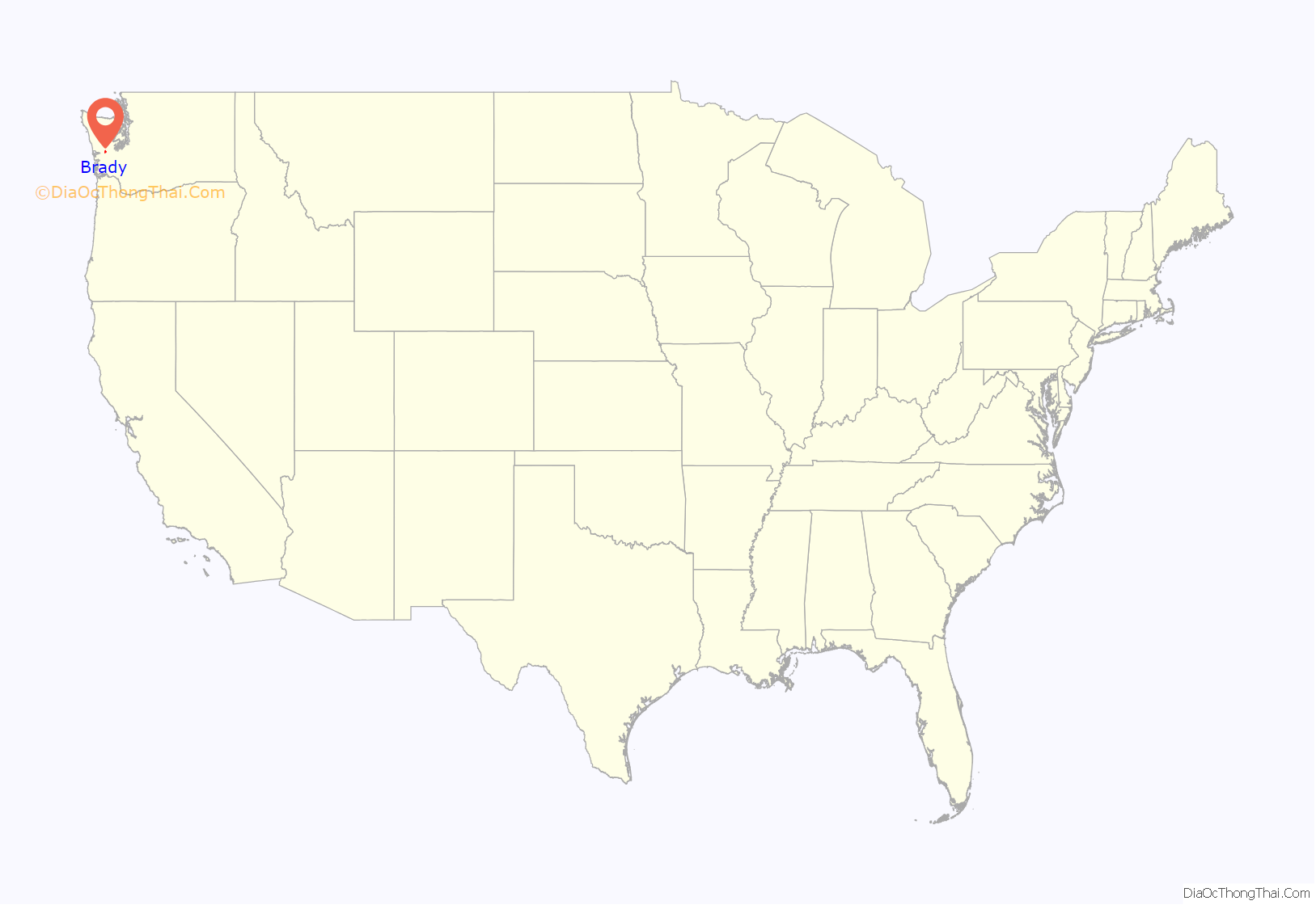
Brady location map. Where is Brady CDP?
History
Brady was named in honor of John Brady, an early settler in the Chehalis Valley. Brady had a farm roughly a mile north of the present location of the Brady Food Mart.
The Chehalis River valley south of Brady was the first part of this area to be settled, by the Smith, Twidwell and Foster families in the late 19th century. Andrew Jackson Smith settled his 640-acre (260 ha) homestead beginning in 1851. The Smith, Foster and Twidwill families are all related. At that time the Chehalis River was the only means of transportation in and out of the area, so these homesteads were staked out on the riverfront. Subsequent road construction led in the 1930s to paving through Brady of a two-lane highway, at the time called Highway 410, connecting the Pacific coast with U.S. Highway 101 at Olympia. This road is now referred to as the Monte-Elma Road. A four-lane, divided freeway connecting Interstate 5 at Olympia to Aberdeen was built through the Brady area in the mid-1960s. The section passing through the Brady area is part of U.S. Route 12.
The greater Brady area relates to the boundaries of the now-defunct Brady school district, bounded on the east by the Satsop River, on the north by the Grays Harbor County line, on the south by the Chehalis River, and on the west by the boundary with the Montesano School District at Camp Creek. Today, these boundaries roughly correspond to Grays Harbor Fire District No. 2, which is served by the Brady Volunteer Fire Department.
The school at Brady, known as Olympic View School, was consolidated with the Montesano School District in 1968. Prior to this consolidation the school was the social hub of the community. The school house was sold to a private drug abuse rehabilitation charity called the Harvester Foundation. The school playshed, which had been converted to residential housing, burned in a case of suspected arson in the mid-1970s. Two children did not escape, and their bodies were later recovered from the ashes from beneath the remains of a completely incinerated bed. The schoolhouse was later demolished.
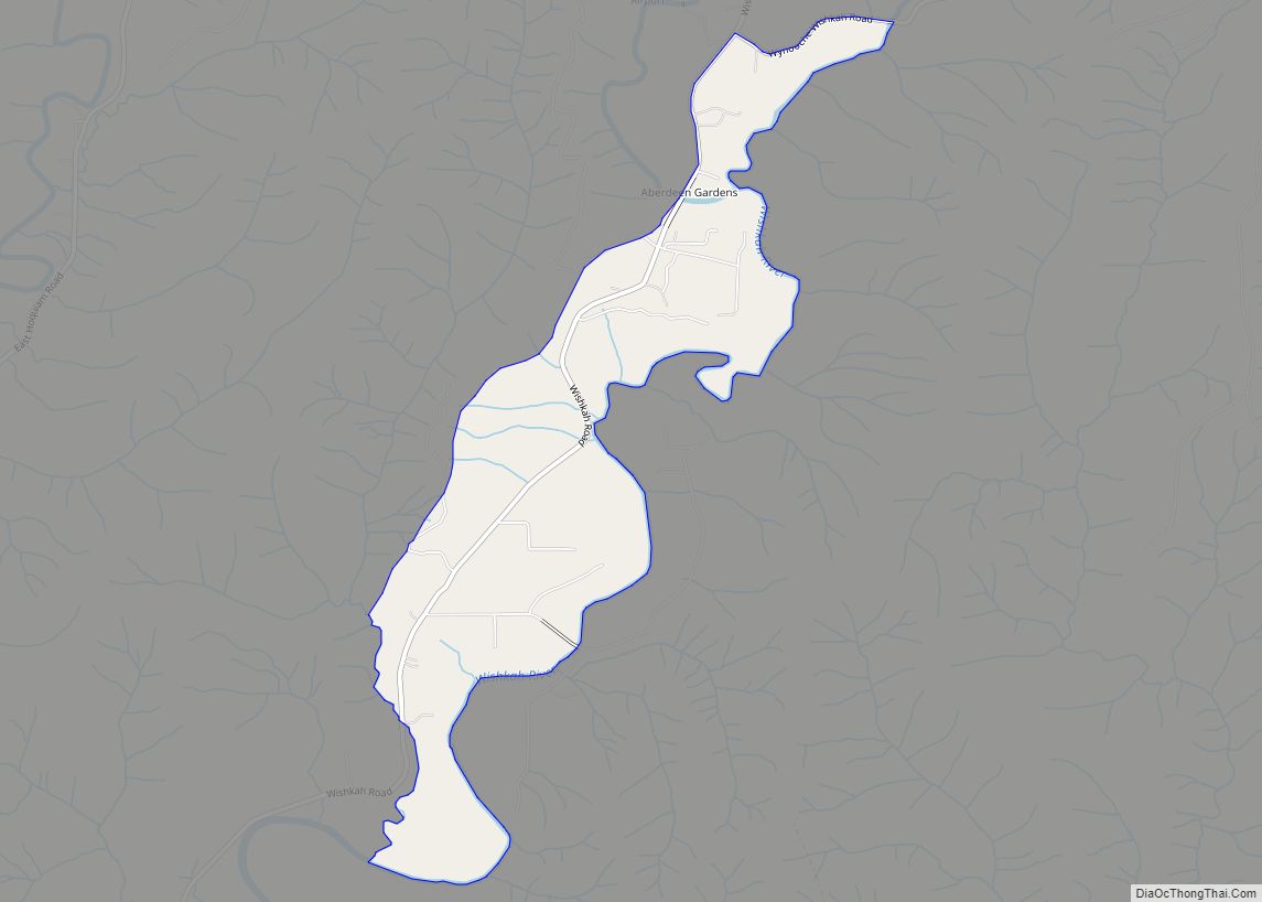
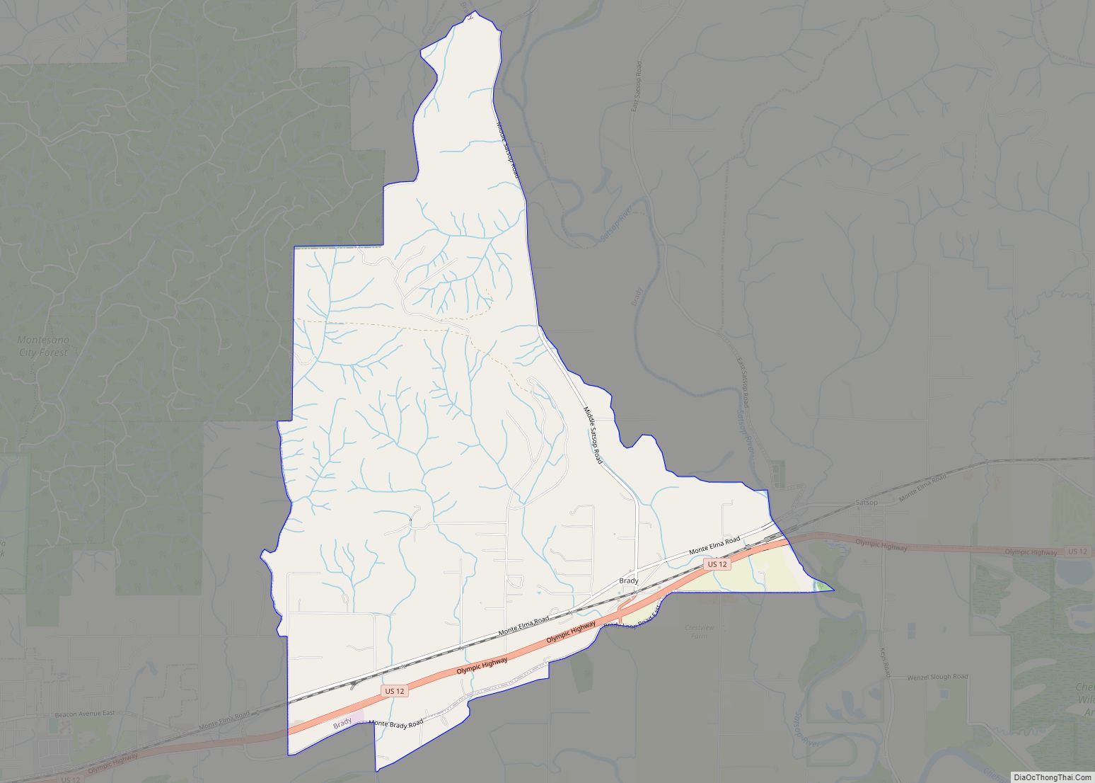
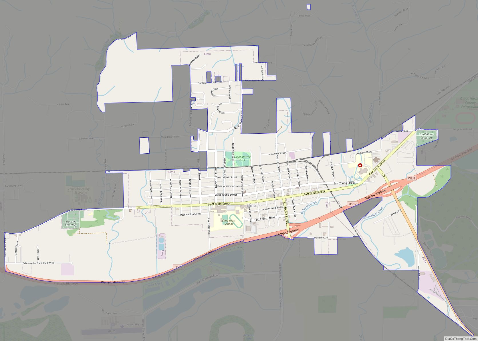
Brady Road Map
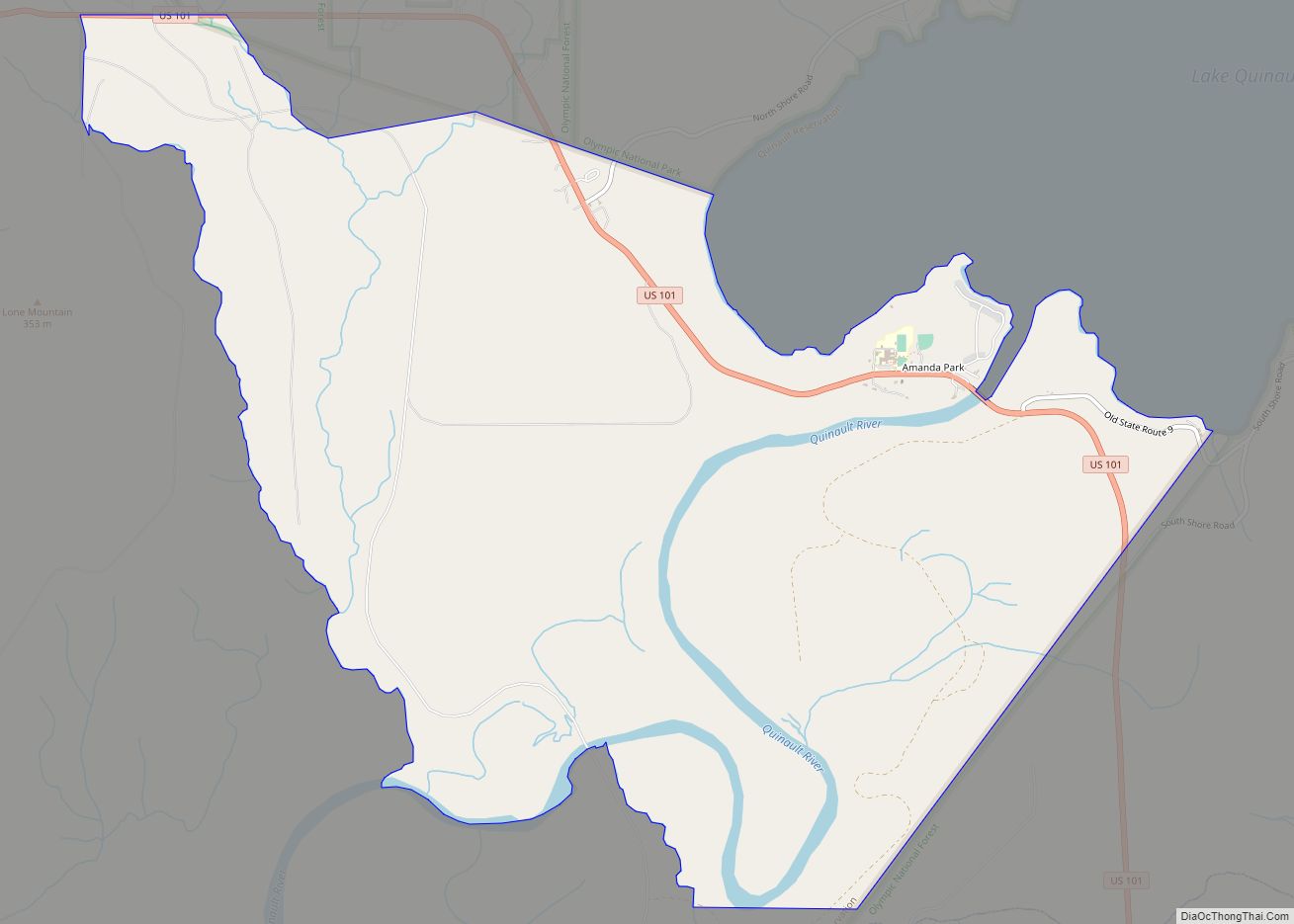
Brady city Satellite Map
Geography
Brady is located in southeastern Grays Harbor County at 46°59′46″N 123°31′18″W / 46.99611°N 123.52167°W / 46.99611; -123.52167 (46.995987, -123.521752), between Montesano to the west and Satsop to the east. U.S. Route 12, running through the southern part of Brady, leads west 15 miles (24 km) to Aberdeen and southeast 31 miles (50 km) to Grand Mound, while Olympia is 34 miles (55 km) to the east via US 12 and State Route 8.
According to the United States Census Bureau, the Brady CDP has a total area of 6.1 square miles (15.9 km), of which 0.02 square miles (0.06 km), or 0.37%, are water.
See also
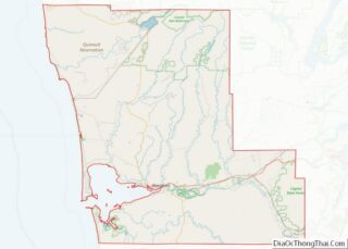
Map of Washington State and its subdivision:- Adams
- Asotin
- Benton
- Chelan
- Clallam
- Clark
- Columbia
- Cowlitz
- Douglas
- Ferry
- Franklin
- Garfield
- Grant
- Grays Harbor
- Island
- Jefferson
- King
- Kitsap
- Kittitas
- Klickitat
- Lewis
- Lincoln
- Mason
- Okanogan
- Pacific
- Pend Oreille
- Pierce
- San Juan
- Skagit
- Skamania
- Snohomish
- Spokane
- Stevens
- Thurston
- Wahkiakum
- Walla Walla
- Whatcom
- Whitman
- Yakima
- Alabama
- Alaska
- Arizona
- Arkansas
- California
- Colorado
- Connecticut
- Delaware
- District of Columbia
- Florida
- Georgia
- Hawaii
- Idaho
- Illinois
- Indiana
- Iowa
- Kansas
- Kentucky
- Louisiana
- Maine
- Maryland
- Massachusetts
- Michigan
- Minnesota
- Mississippi
- Missouri
- Montana
- Nebraska
- Nevada
- New Hampshire
- New Jersey
- New Mexico
- New York
- North Carolina
- North Dakota
- Ohio
- Oklahoma
- Oregon
- Pennsylvania
- Rhode Island
- South Carolina
- South Dakota
- Tennessee
- Texas
- Utah
- Vermont
- Virginia
- Washington
- West Virginia
- Wisconsin
- Wyoming
