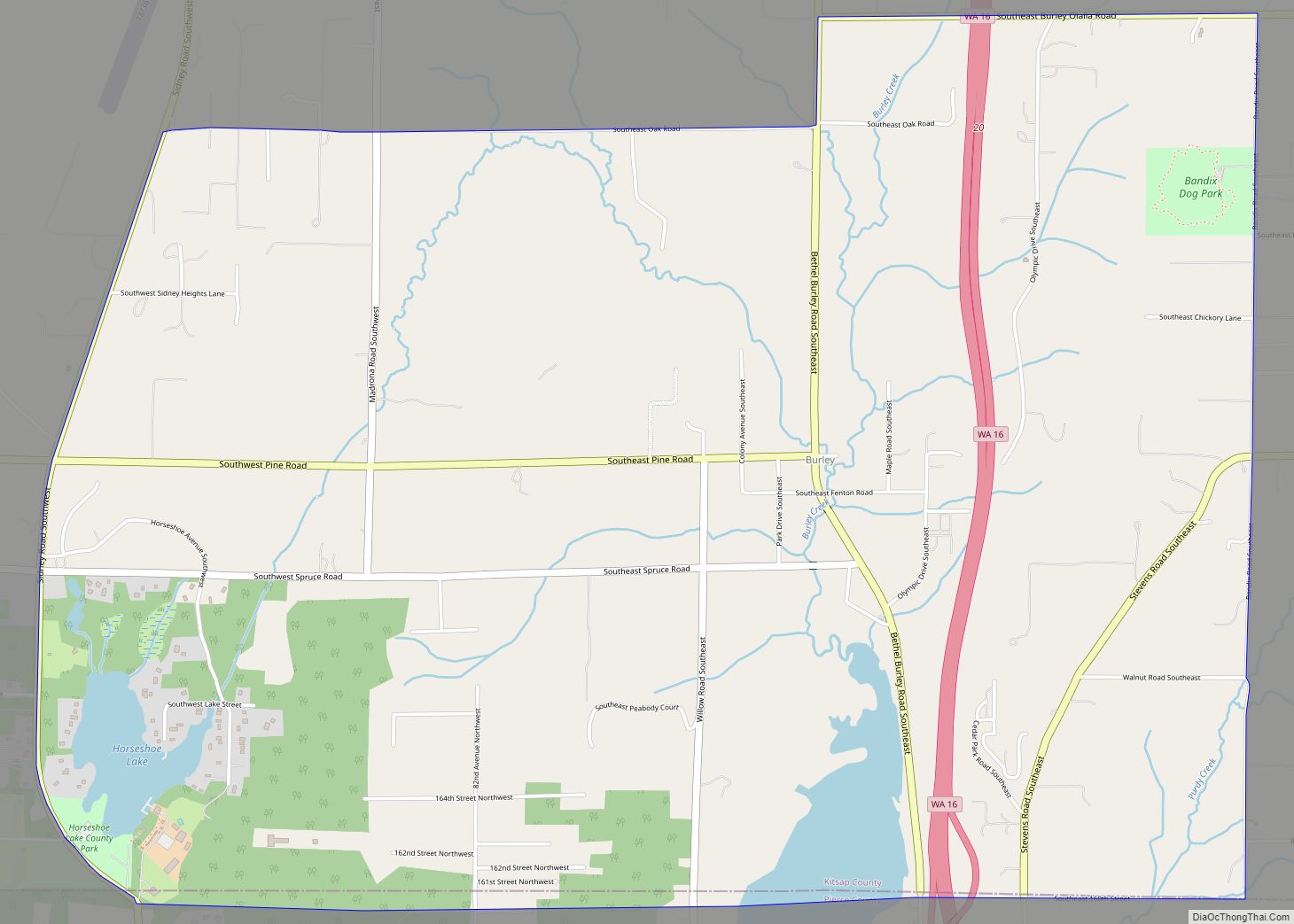
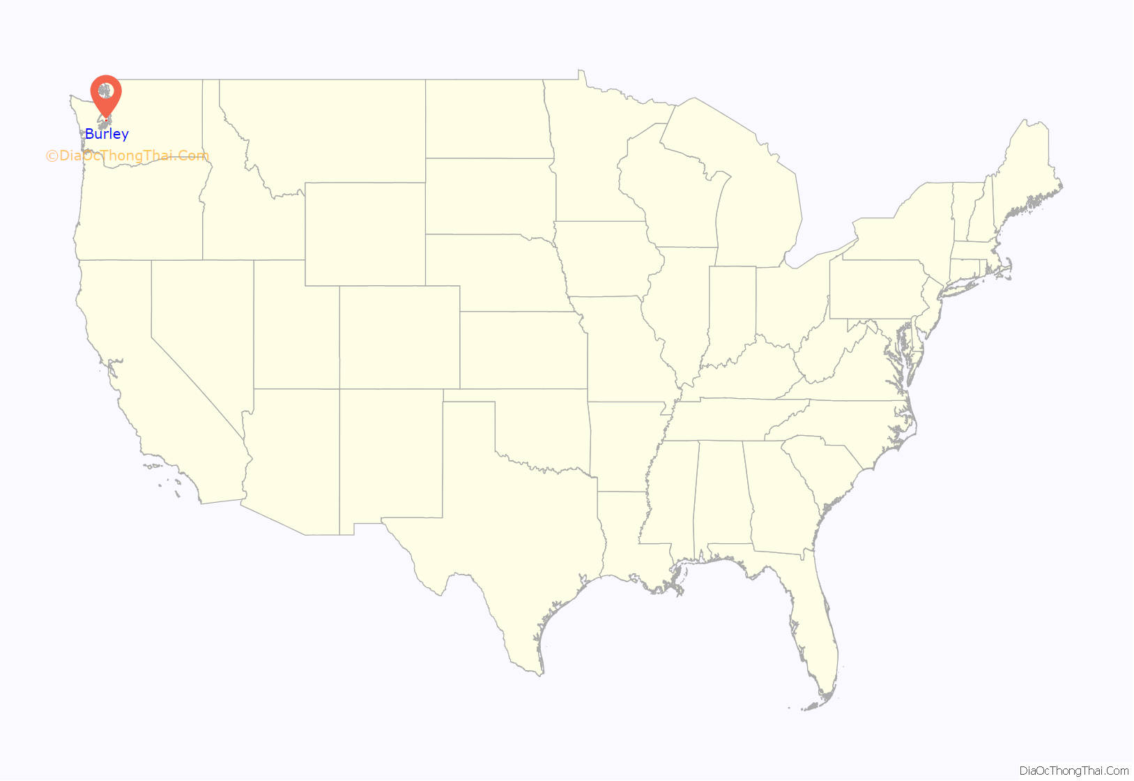
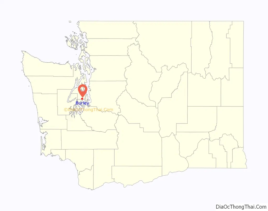
Burley is an unincorporated community and census-designated place (CDP) in Kitsap County, Washington, United States. It is located just north of the boundary with Pierce County, about halfway between Gig Harbor to the south and Port Orchard to the north. It is located at the head of the Burley Lagoon in Henderson Bay. Burley is a residential area. The community’s population stood at 2,057 at the 2010 census.
| Name: | Burley CDP |
|---|---|
| LSAD Code: | 57 |
| LSAD Description: | CDP (suffix) |
| State: | Washington |
| County: | Kitsap County |
| Elevation: | 33 ft (10 m) |
| Total Area: | 4.92 sq mi (12.73 km²) |
| Land Area: | 4.76 sq mi (12.34 km²) |
| Water Area: | 0.15 sq mi (0.39 km²) |
| Total Population: | 2,057 |
| Population Density: | 432/sq mi (166.7/km²) |
| ZIP code: | 98322 |
| Area code: | 360 |
| FIPS code: | 5308885 |
| GNISfeature ID: | 1512051 |
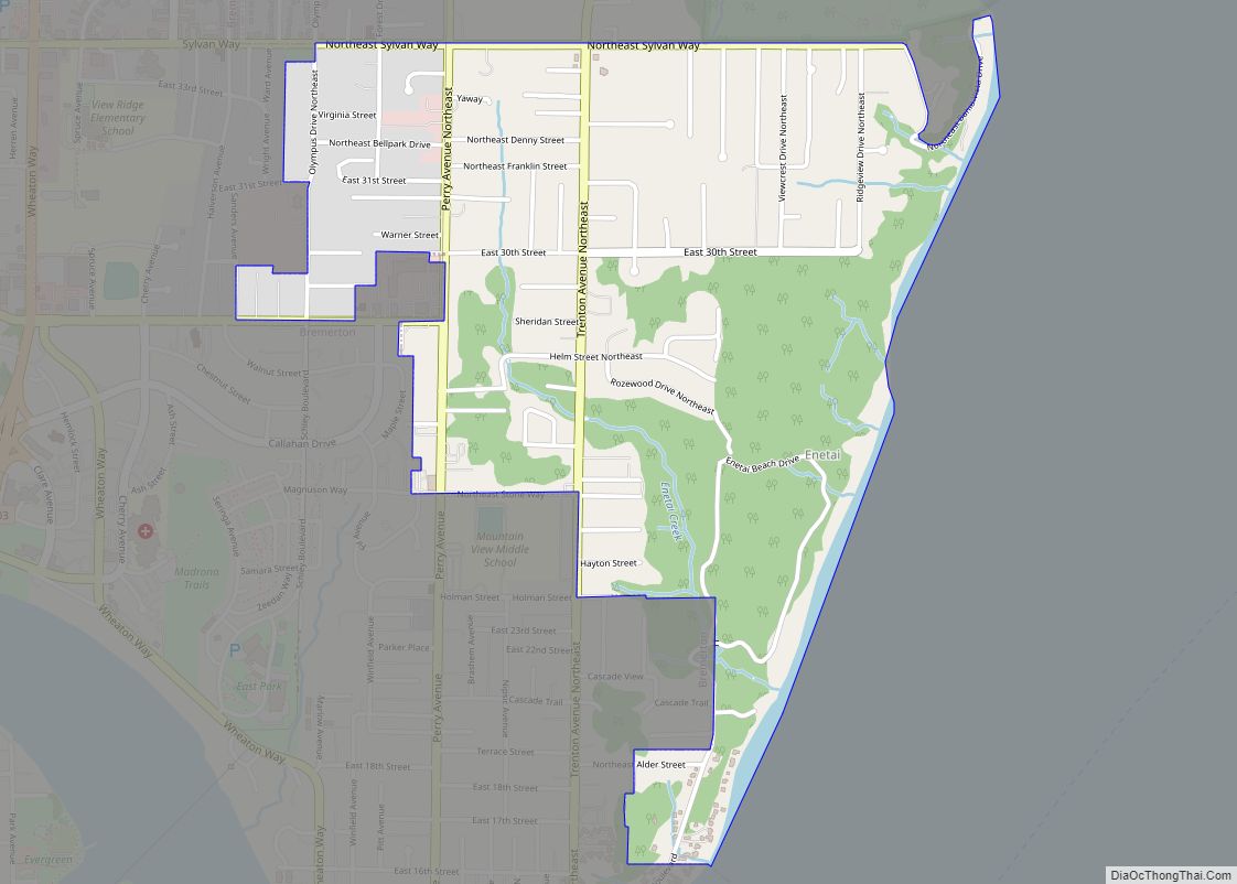
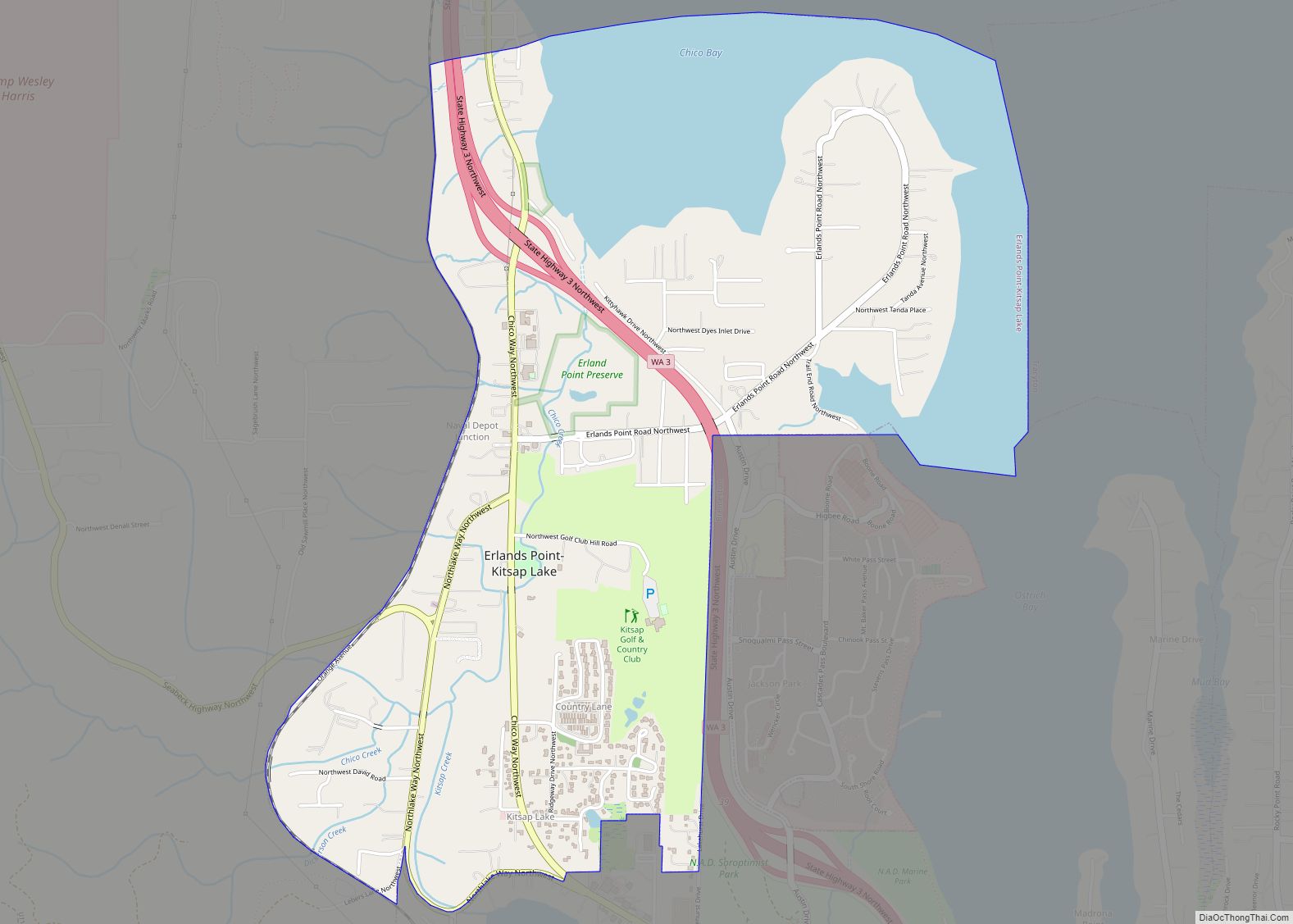
Online Interactive Map
Click on ![]() to view map in "full screen" mode.
to view map in "full screen" mode.
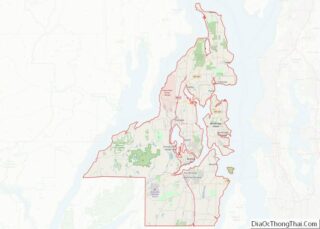
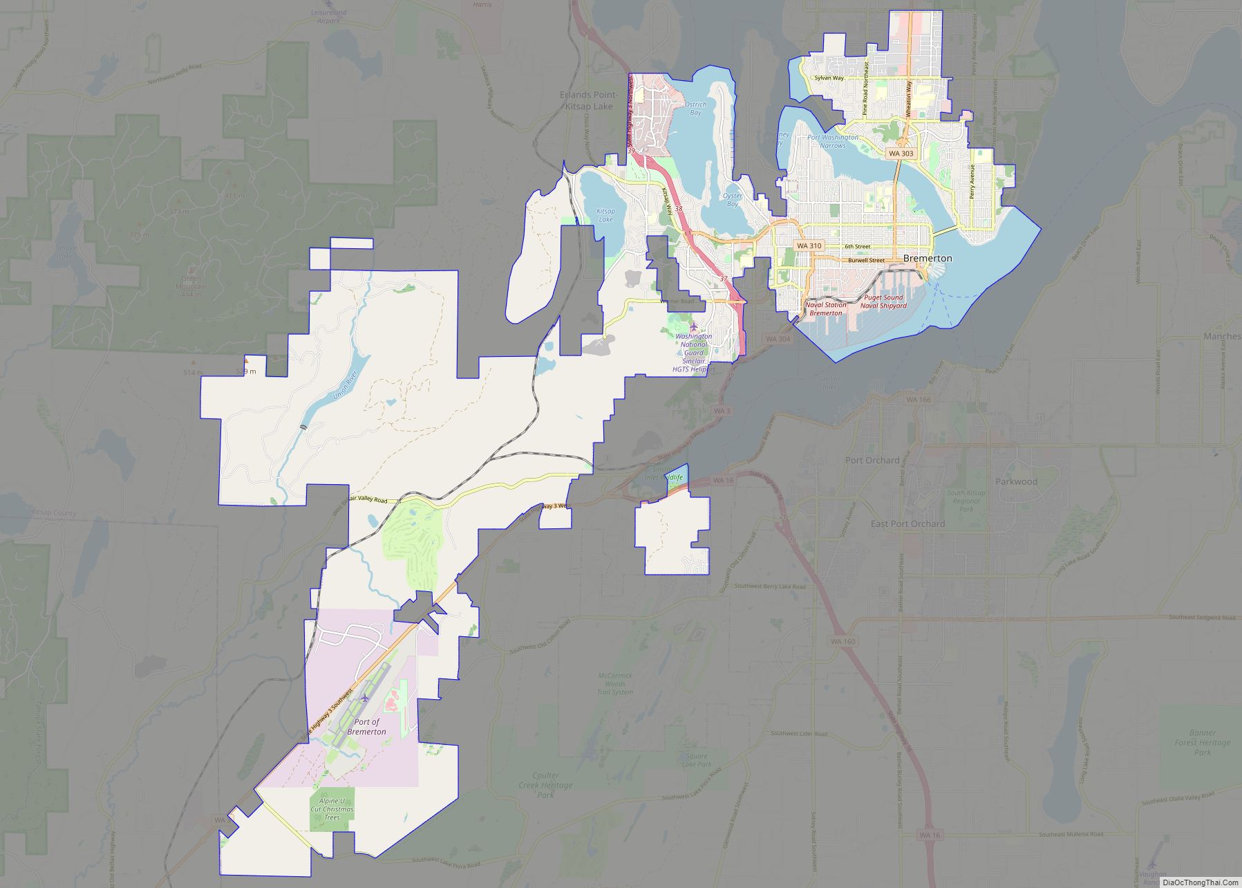
Burley location map. Where is Burley CDP?
History
Burley was established in 1898 as a cooperative socialist colony by a group called the Co-operative Brotherhood, an offshoot of the Brotherhood of the Co-operative Commonwealth that had established Equality Colony elsewhere in Washington state in the previous year. Both communities were part of an attempt to plant socialist colonies in Washington in order to convert first the state, and then the entire nation, to socialism.
Burley was originally named “Brotherhood”. Circle City was an area of the colony with buildings laid out on the periphery of a circle. In its earliest years the community achieved a maximum population of approximately 150, but like some other planned towns of the era such as Equality Colony, its population endured a long decline through the ensuing years. The local economy was dominated by the lumber industry; other businesses never flourished, though a cigar-manufacturing effort did achieve some short-term success.
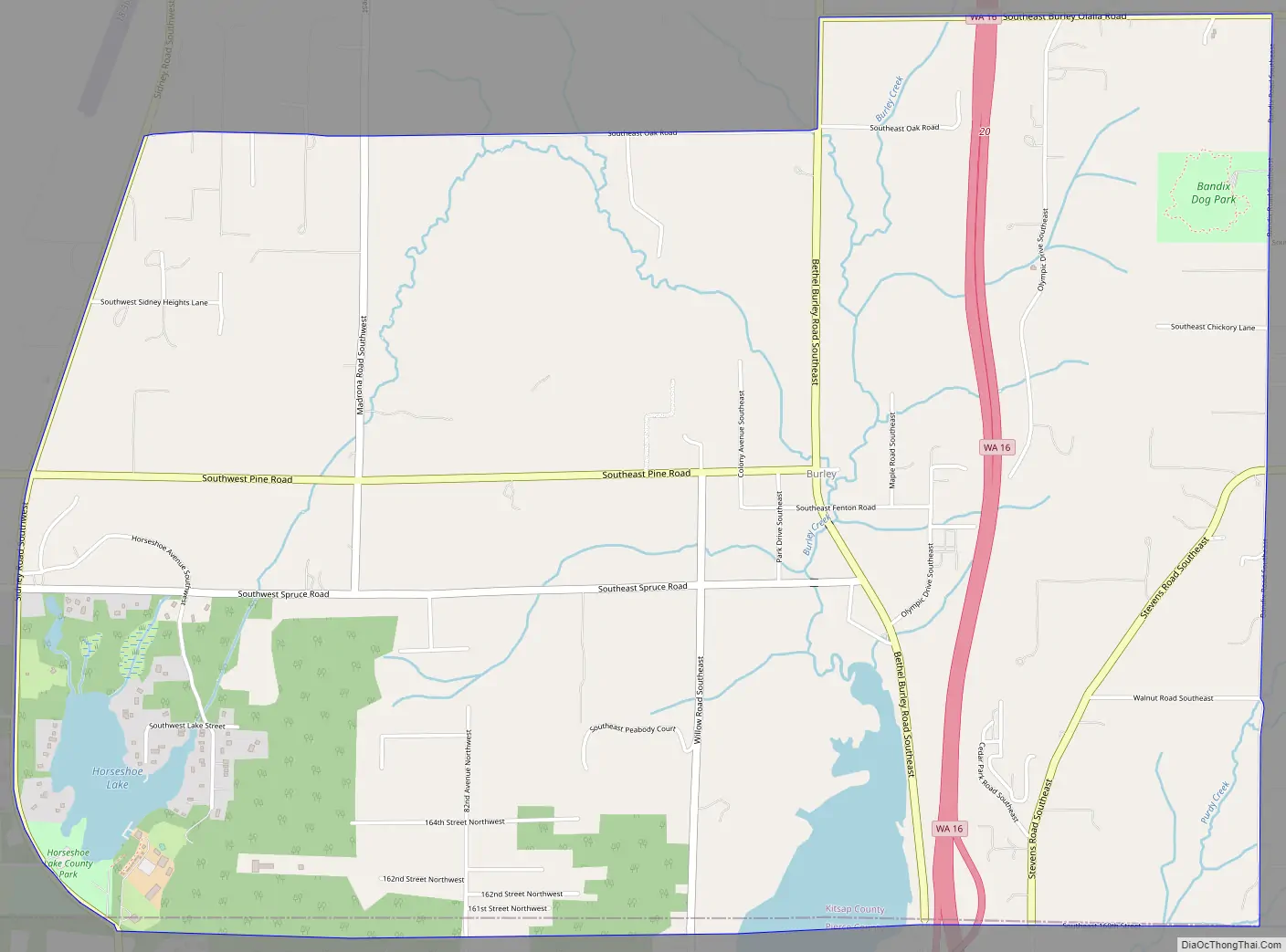
Burley Road Map
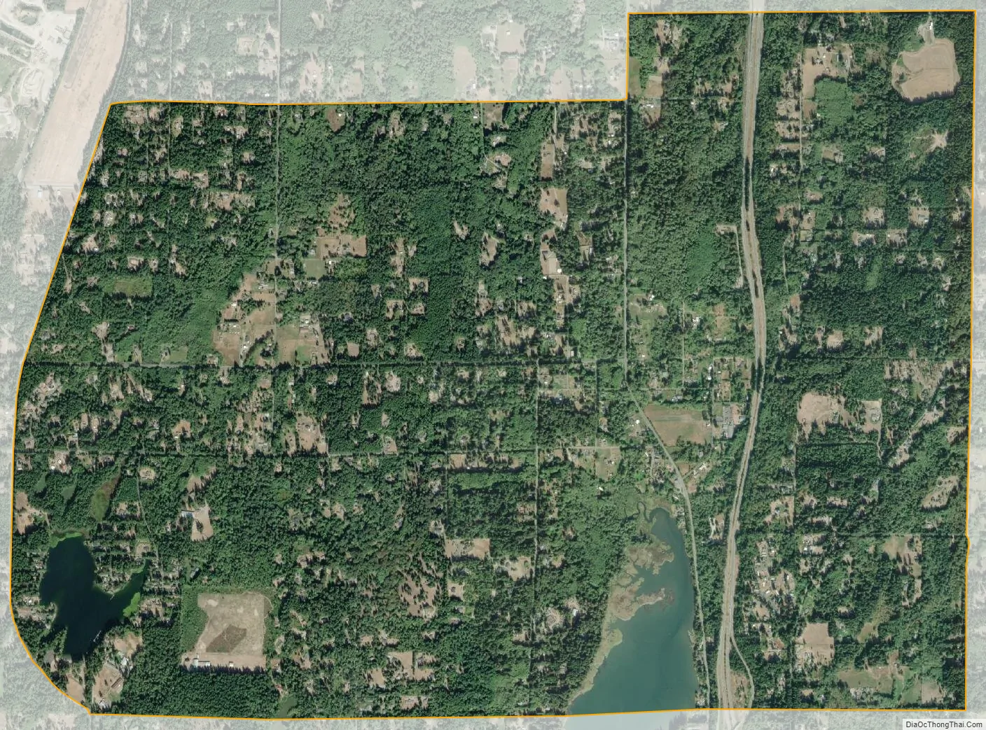
Burley city Satellite Map
Geography
Burley is in southern Kitsap County. It is bordered to the south by the Pierce County communities of Wauna and Purdy. Washington State Route 16 passes through the eastern side of Burley, leading north 9 miles (14 km) to Port Orchard and south 7 miles (11 km) to Gig Harbor. According to the U.S. Census Bureau, the Burley CDP has a total area of 4.9 square miles (12.7 km), of which 4.7 square miles (12.3 km) are land and 0.2 square miles (0.4 km), or 3.04%, are water.
See also
Map of Washington State and its subdivision:- Adams
- Asotin
- Benton
- Chelan
- Clallam
- Clark
- Columbia
- Cowlitz
- Douglas
- Ferry
- Franklin
- Garfield
- Grant
- Grays Harbor
- Island
- Jefferson
- King
- Kitsap
- Kittitas
- Klickitat
- Lewis
- Lincoln
- Mason
- Okanogan
- Pacific
- Pend Oreille
- Pierce
- San Juan
- Skagit
- Skamania
- Snohomish
- Spokane
- Stevens
- Thurston
- Wahkiakum
- Walla Walla
- Whatcom
- Whitman
- Yakima
- Alabama
- Alaska
- Arizona
- Arkansas
- California
- Colorado
- Connecticut
- Delaware
- District of Columbia
- Florida
- Georgia
- Hawaii
- Idaho
- Illinois
- Indiana
- Iowa
- Kansas
- Kentucky
- Louisiana
- Maine
- Maryland
- Massachusetts
- Michigan
- Minnesota
- Mississippi
- Missouri
- Montana
- Nebraska
- Nevada
- New Hampshire
- New Jersey
- New Mexico
- New York
- North Carolina
- North Dakota
- Ohio
- Oklahoma
- Oregon
- Pennsylvania
- Rhode Island
- South Carolina
- South Dakota
- Tennessee
- Texas
- Utah
- Vermont
- Virginia
- Washington
- West Virginia
- Wisconsin
- Wyoming