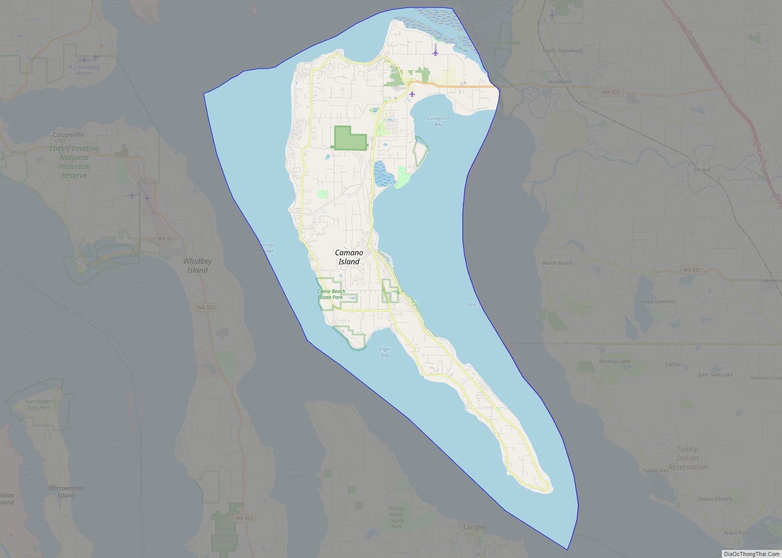
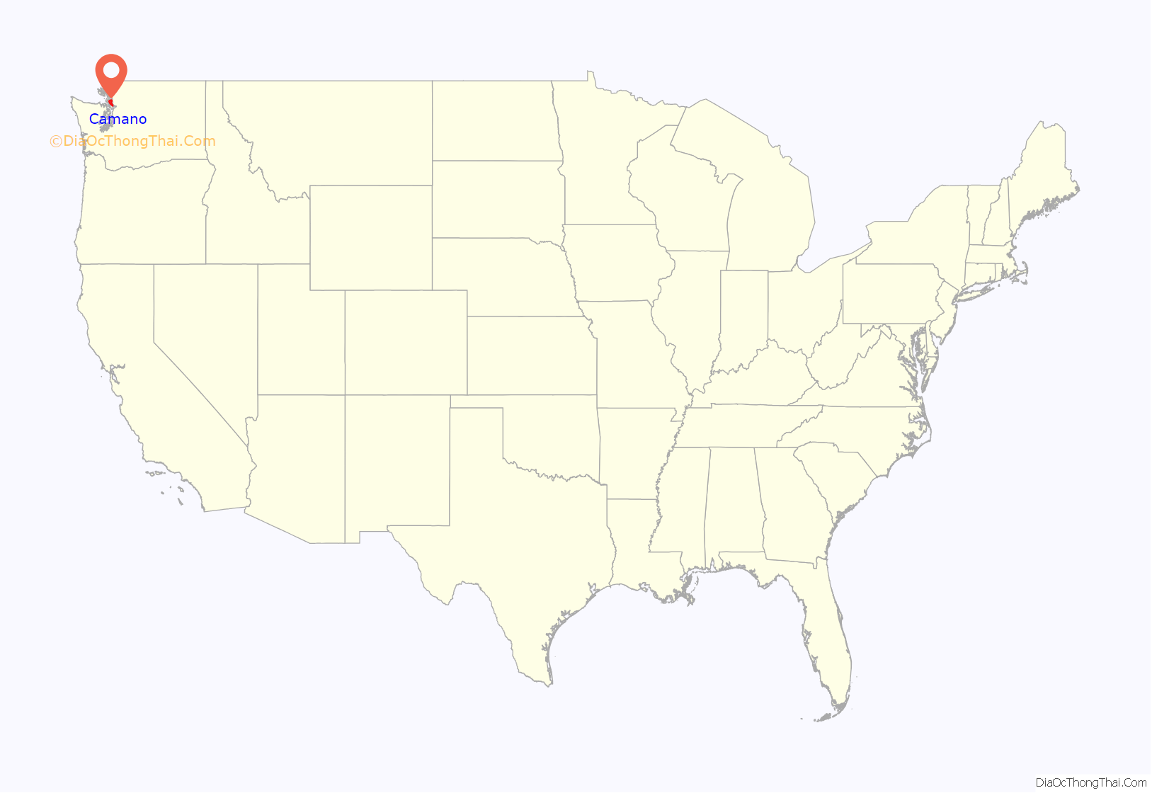
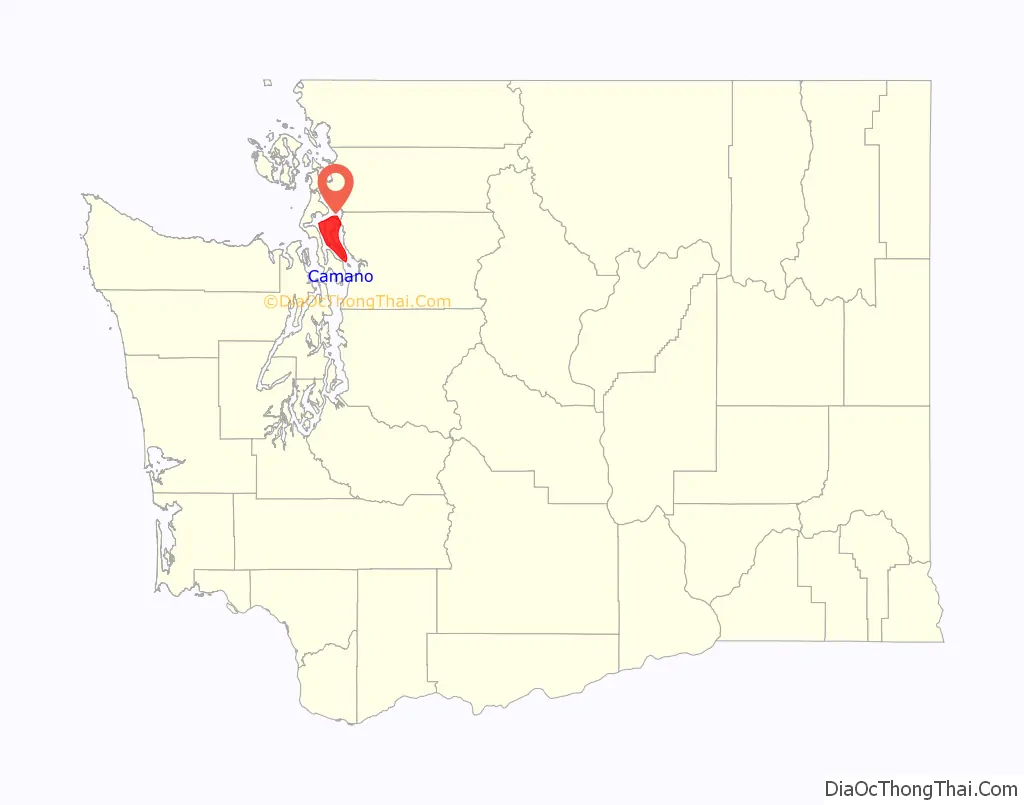
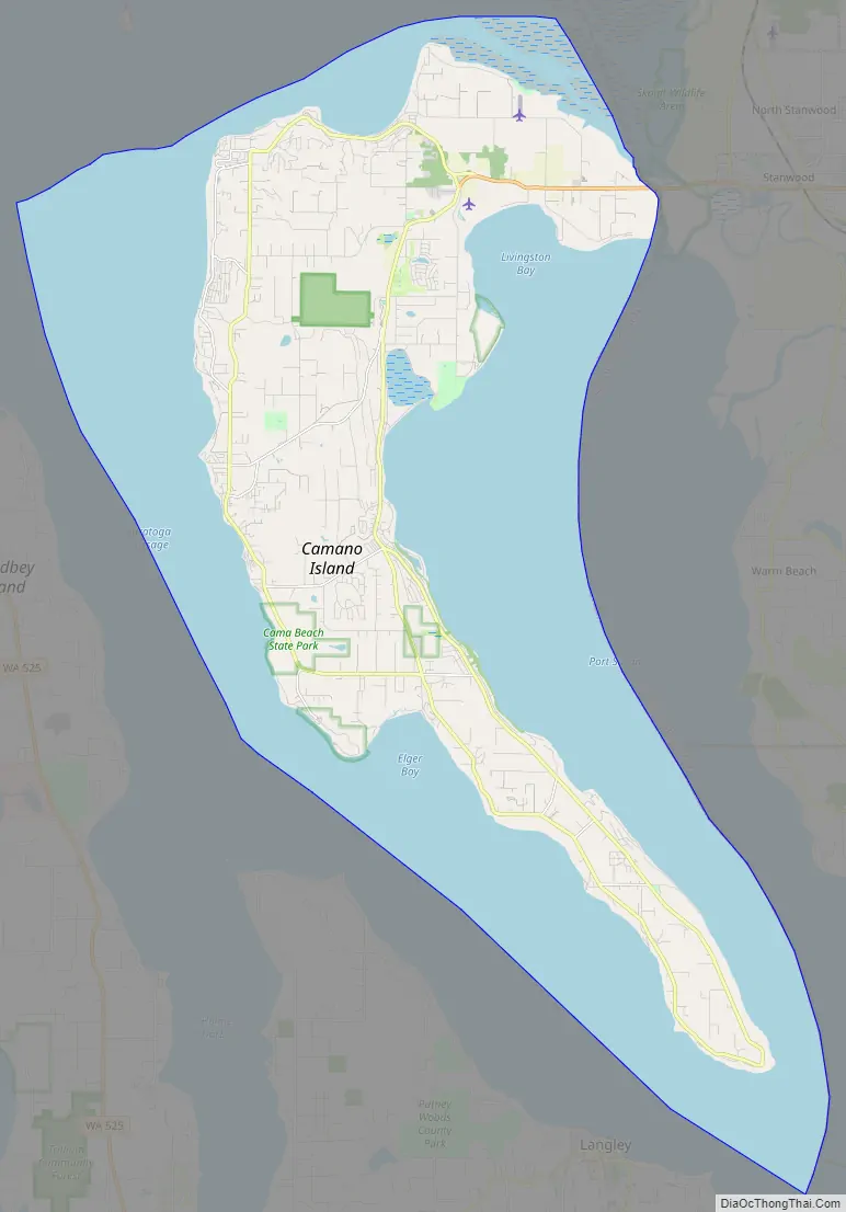
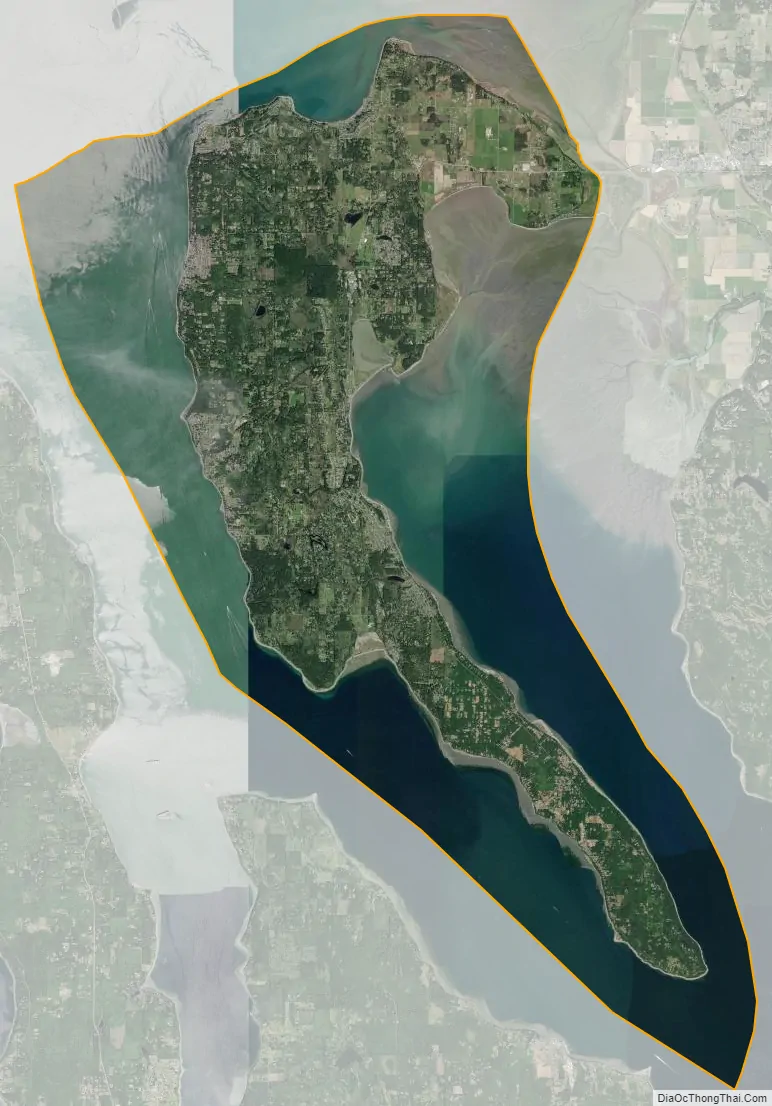
Camano Island /kəˈmeɪnoʊ/ is a large island in Possession Sound, a section of Puget Sound. It is part of Island County, Washington, and is located between Whidbey Island and the mainland (Snohomish County) by the Saratoga Passage to the west and Port Susan and Davis Slough to the east. The island has one road connection to the mainland, via State Route 532 over the Camano Gateway Bridge at the northeast end of the island, connecting to the city of Stanwood.
The island has a total area of 39.77 square miles (103.0 km), making it one of the largest in the state of Washington. It has a year-round population of 15,661 as of the 2010 census. The population peaks at over 17,000 during the summer months due to part-time residents with vacation homes on the island. It is an unincorporated area with several small communities and shares civic facilities with nearby Stanwood, including its school district, and post office.
Camano Island is home to two state parks, Cama Beach and Camano Island State Park, and several county and local parks.
| Name: | Camano CDP |
|---|---|
| LSAD Code: | 57 |
| LSAD Description: | CDP (suffix) |
| State: | Washington |
| County: | Island County |
| Elevation: | 52 ft (16 m) |
| Total Area: | 94.9 sq mi (245.9 km²) |
| Land Area: | 39.8 sq mi (103.0 km²) |
| Water Area: | 55.2 sq mi (142.9 km²) |
| Total Population: | 17,356 |
| Population Density: | 436.31/sq mi (168.59/km²) |
| ZIP code: | 98282 |
| FIPS code: | 5309365 |
| GNISfeature ID: | 1503722 |
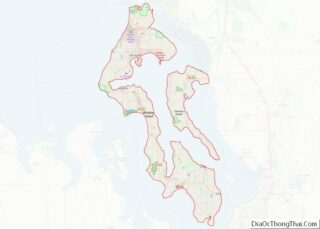
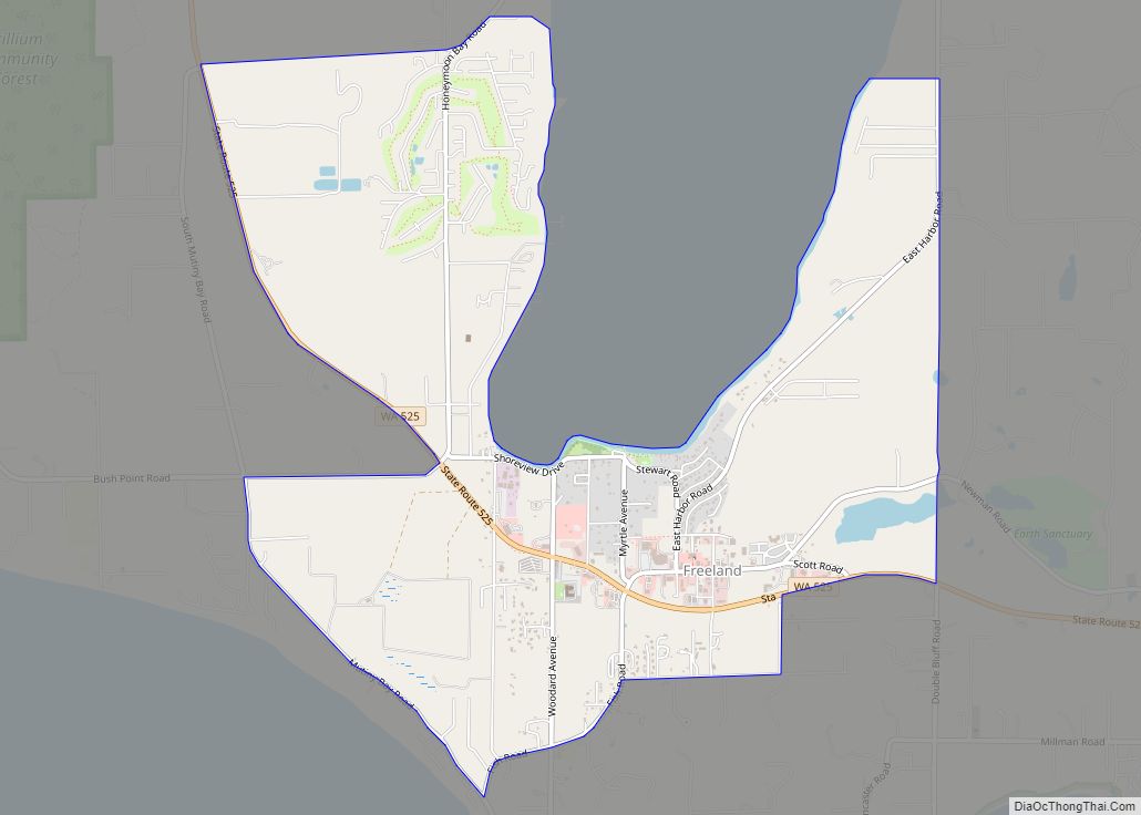
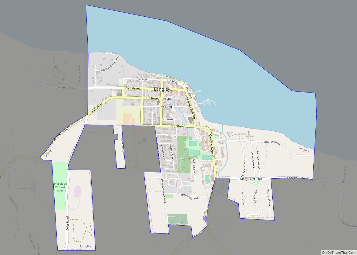
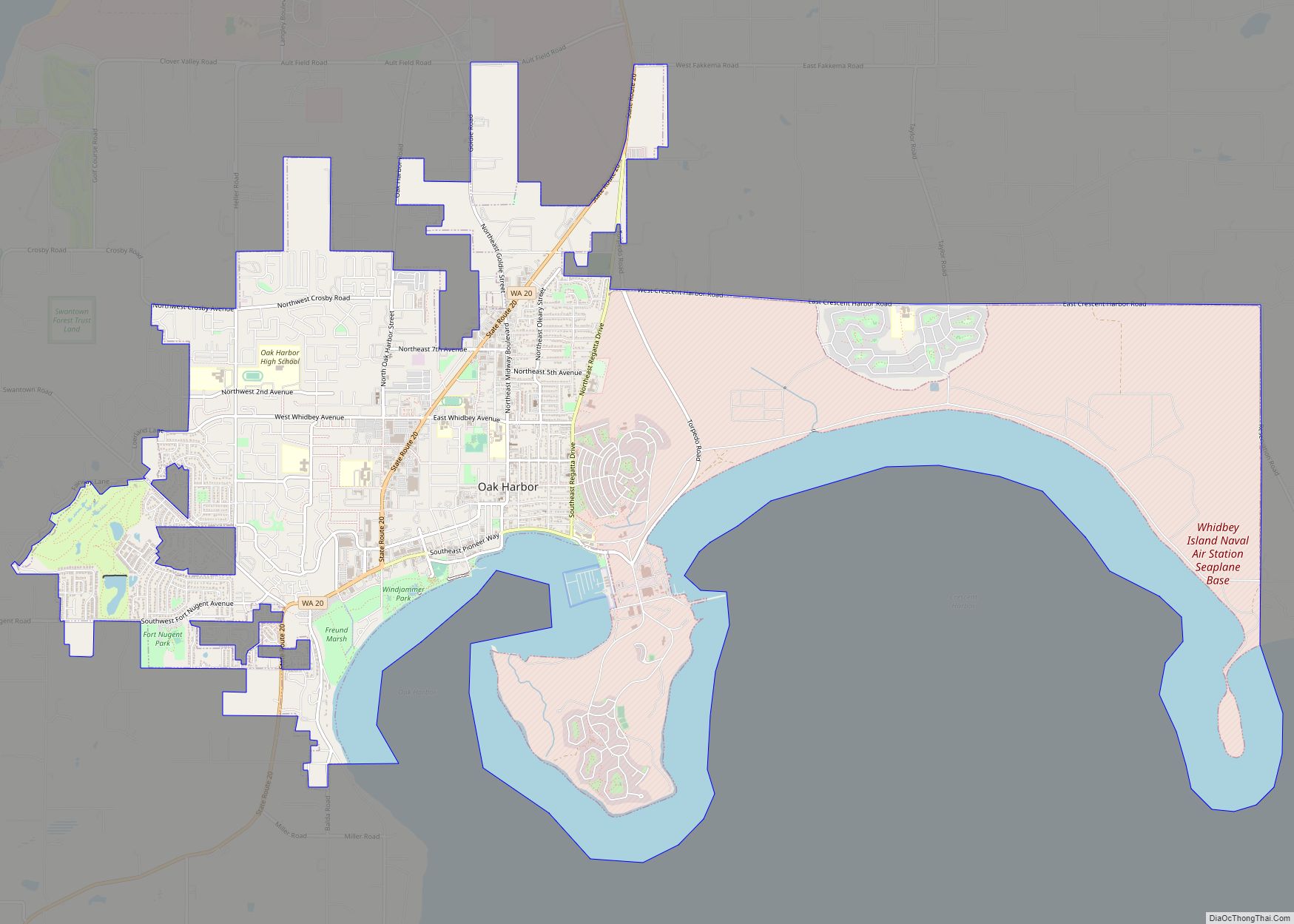
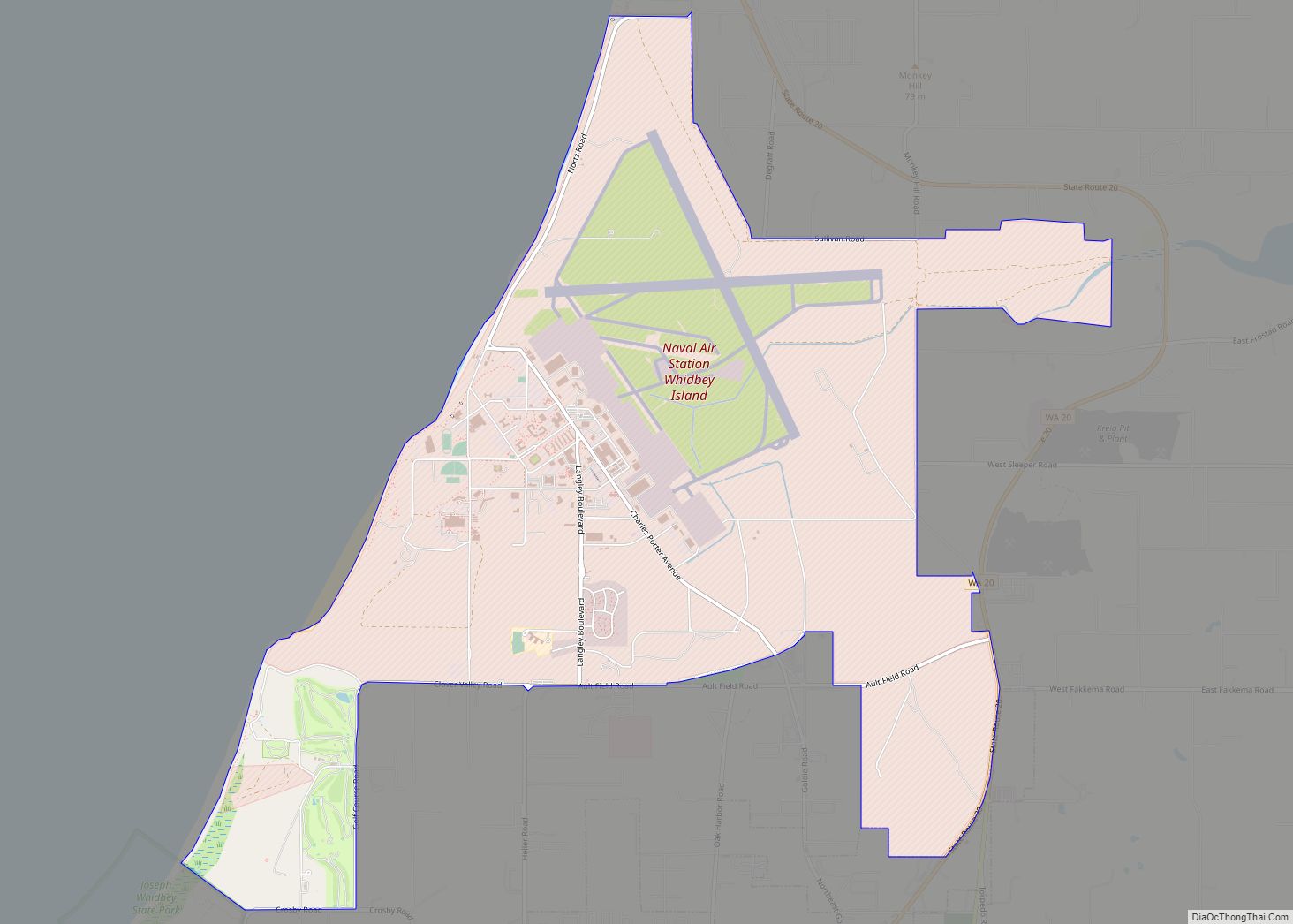
Online Interactive Map
Click on ![]() to view map in "full screen" mode.
to view map in "full screen" mode.
Camano location map. Where is Camano CDP?
History
Etymology
Camano Island is named for 18th century Spanish explorer Jacinto Caamaño. The original name of the island was Kal-lut-chin which in the language of the indigenous Snohomish tribe means “land jutting into a bay”. American explorer Charles Wilkes, during the Wilkes Expedition of 1838–1842, named it MacDonough Island in honor of Thomas MacDonough for his victory of the Battle of Lake Champlain during the War of 1812. Following this theme, Wilkes named the body of water between Camano and Whidbey Island after MacDonough’s flagship the Saratoga. When Henry Kellett reorganized the official British Admiralty charts in 1847, he removed Wilkes’ name MacDonough and bestowed the name Camano, which the Spanish explorer Francisco de Eliza had originally given to Admiralty Inlet in 1790. Wilkes’ name Saratoga Passage was retained.
Jacinto Caamaño explored much of the Pacific Northwest going as far north as what is now Alaska for the Spanish. He began his expedition far to the south in San Blas, Mexico. In addition to its Snohomish name the island has also been known as Macdonough Island named for Thomas Macdonough a U.S. Navy officer during the War of 1812 and as Perry Island after an 1855 treaty between local Native Americans and Washington Territory governor Isaac Stevens. The first Euro-American settlers on the island arrived at the time of the signing of the treaty. The island was also called Crow Island during the early 20th century. The Tulalip Tribe has compiled many geographic place names for the Salish Sea, including Camano Island.
19th century
The island was shared between several local Coast Salish groups, who settled along beaches and gathered shellfish, hunted game, and cultivated berries. Among the groups were the Kikiallus, Lower Skagit, Sauk-Suiattle, Snohomish, and Stillaguamish. In 2005, archaeologists at Cama Beach on the southwest coast of the island uncovered Salish artifacts and human remains that were dated to 1,600 years before present; the site is believed to have been a seasonal or permanent village and burial ground. A major landslide on the south side of Camano Island in the 1820s reduced the size of the island and caused a tsunami on Saratoga Passage.
By the early 19th century, during the beginning of relations between Coast Salish tribes and white explorers, the island was divided between the Kikiallus in the north, with six permanent villages, and seasonal villages for the Snohomish in the south. White settlement on the island began in the 1850s and it was included in the newly-established Island County in 1853. The first major settlement on the island was at Utsalady (originally spelled Utsaladdy), which would be home to several sawmills. The first sawmill on the island was constructed by Thomas Cranney in 1858 and a school district was organized in 1862 to serve 17 students in a one-room schoolhouse.
Cranney’s sawmill at Utsalady was seized by the federal government in 1876 due to his bankruptcy and sold the following year to the Puget Mill Company, which enlarged it to handle 75,000 board feet per day. A plat for Utsalady was filed in 1891, with the town boasting three stores, two hotels, a telegraph line, and daily steamship service to Coupeville. The area had a large population of Chinese and Norwegian immigrants who worked at the mill until the former were expelled by anti-Chinese riots in the 1880s. By the 1880 census, there were 112 residents in Utsalady and 74 Coast Salish peoples in other settlements on Camano Islande. Following the Panic of 1893, the Utsalady sawmill was closed and left 125 residents unemployed, but five shingle mills were later opened to capitalize on the island’s timber.
20th century
Camano Island was identified as an ideal location for farming and vacation homes during the early 20th century, as logging had cleared the island’s old-growth forests. A cable ferry connecting the island’s north end to Stanwood was replaced by a bridge in 1909. The first resort settlements on Camano Island at Utsalady, Juniper Beach, and Madrona beach were established in the 1920s, but were later dwarfed by larger resorts like Cama Beach (opened in 1936). During the Prohibition era, Camano Island was used as a major transiting point for rumrunners due to its remoteness and proximity to Canadian waters. The Juniper Beach area was also home to a new oyster farm that was established in 1930 and helped sustain the island during the Great Depression.
In 1943, the Puget Mill Company began developing its plots into residential subdivisions, ushering in the arrival of permanent summer homes on the island. The Stillaguamish River bridge to Stanwood was replaced in July 1950 by the Mark Clark Bridge and the island’s roads were also improved by the state government. A new state park was established in 1948 and opened the following year after a day-long event in which 800 residents cleared the land to prepare for park development. In the 1950s, the island received its own post office, having previously been part of the Stanwood post office’s delivery area, an organized fire department, and telephone service. Major population growth in the 1960s and early 1970s caused strain on the island’s infrastructure, requiring the creation of a new planning office and a satellite county courthouse.
Camano Road Map
Camano city Satellite Map
Geography
Camano Island is located within the Puget Sound, separated from the mainland of Snohomish County by Port Susan and Davis Slough. It lies east of the Saratoga Passage, which separates it from the larger Whidbey Island, and is south of Skagit Bay. The northern entrance to Camano Island is located 55 miles (89 km) north of Seattle. The island itself is 15.6 miles (25.1 km) long and has a width of 0.75 to 6.6 miles (1.21 to 10.62 km), with 52 miles (84 km) of shoreline.
According to the United States Census Bureau, the Camano CDP has a total area of 94.9 square miles (245.9 km), of which, 39.8 square miles (103.0 km) of it is land and 55.2 square miles (142.9 km) of it (58.11%) is water. Approximately 83 percent of the shoreline around the island is privately owned.
The island has a wide array of native and migratory birds, including bald eagles and herons. Migrating gray whales travel annually through the Saratoga Passage in March and April, making them visible from Camano Island.
During the Last Ice Age the island, sound and land surrounding the sound was covered by a mile thick sheet of ice. As temperatures rose the glacier receded, carving the island and leaving behind deposits of glacial till.
Communities
- Utsalady
- Terry’s Corner (including new town center)
- Buena Vista
- Madrona Beach
- Sunset Beach
- Juniper Beach
- Lona Beach
- Rockaway Beach
- Maple Grove Beach
- Livingston Bay
- Iverson Beach
- Tillicum Beach
- Tyee Beach
- Camaloch
Parks and recreation
The state parks system has two properties on Camano Island: Camano Island State Park and Cama Beach State Park, both located on the west side of the island. Camano Island State Park, near Elger Bay, was opened in 1949 after a one-day volunteer effort with 500 local residents to prepare the property. It has 6,700 feet (2,000 m) of shoreline, camping areas, and hiking trails on 244 acres (99 ha) of land. Cama Beach State Park opened in 2008 at the site of a former beach resort, which was restored with beachside cabins and hiking trails.
Camano Island also has 13 local parks maintained by the Island County government. The largest park, Camano Ridge, includes 400 acres (160 ha) of inland protected forestland and hiking trails that were transferred from the Washington State Department of Natural Resources in 2003. At the north end of the island is Iverson Preserve, a 120 acres (49 ha) beach and estuary with fishing and boat access. Barnum Point County Park on Port Susan was opened in August 2019 with 167 acres (68 ha) of waterfront space, acquired with $750,000 in private donations through a local land trust.
See also
Map of Washington State and its subdivision:- Adams
- Asotin
- Benton
- Chelan
- Clallam
- Clark
- Columbia
- Cowlitz
- Douglas
- Ferry
- Franklin
- Garfield
- Grant
- Grays Harbor
- Island
- Jefferson
- King
- Kitsap
- Kittitas
- Klickitat
- Lewis
- Lincoln
- Mason
- Okanogan
- Pacific
- Pend Oreille
- Pierce
- San Juan
- Skagit
- Skamania
- Snohomish
- Spokane
- Stevens
- Thurston
- Wahkiakum
- Walla Walla
- Whatcom
- Whitman
- Yakima
- Alabama
- Alaska
- Arizona
- Arkansas
- California
- Colorado
- Connecticut
- Delaware
- District of Columbia
- Florida
- Georgia
- Hawaii
- Idaho
- Illinois
- Indiana
- Iowa
- Kansas
- Kentucky
- Louisiana
- Maine
- Maryland
- Massachusetts
- Michigan
- Minnesota
- Mississippi
- Missouri
- Montana
- Nebraska
- Nevada
- New Hampshire
- New Jersey
- New Mexico
- New York
- North Carolina
- North Dakota
- Ohio
- Oklahoma
- Oregon
- Pennsylvania
- Rhode Island
- South Carolina
- South Dakota
- Tennessee
- Texas
- Utah
- Vermont
- Virginia
- Washington
- West Virginia
- Wisconsin
- Wyoming