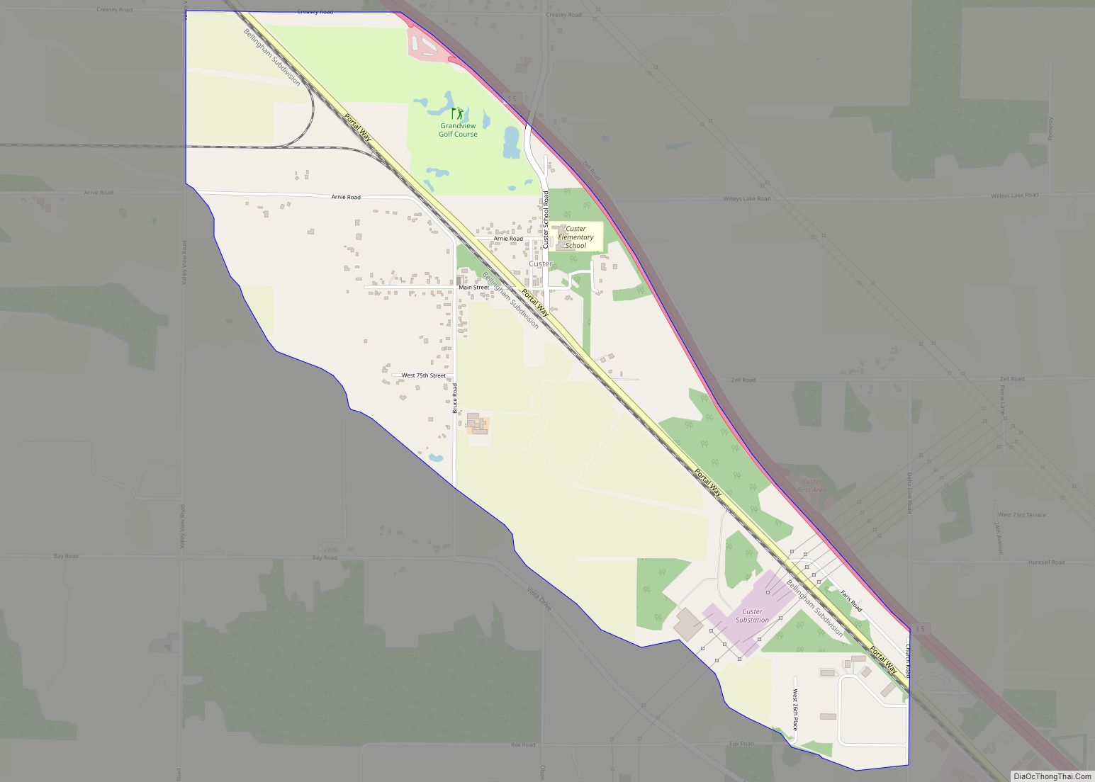
Custer is a census-designated place (CDP) in Whatcom County, Washington, United States. The population was 366 at the 2010 census.
| Name: | Custer CDP |
|---|---|
| LSAD Code: | 57 |
| LSAD Description: | CDP (suffix) |
| State: | Washington |
| County: | Whatcom County |
| Elevation: | 43 ft (13 m) |
| Total Area: | 1.8 sq mi (4.7 km²) |
| Land Area: | 1.8 sq mi (4.7 km²) |
| Water Area: | 0.0 sq mi (0.0 km²) |
| Total Population: | 366 |
| Population Density: | 164.4/sq mi (63.5/km²) |
| ZIP code: | 98240 |
| Area code: | 360 |
| FIPS code: | 5316375 |
| GNISfeature ID: | 1512132 |
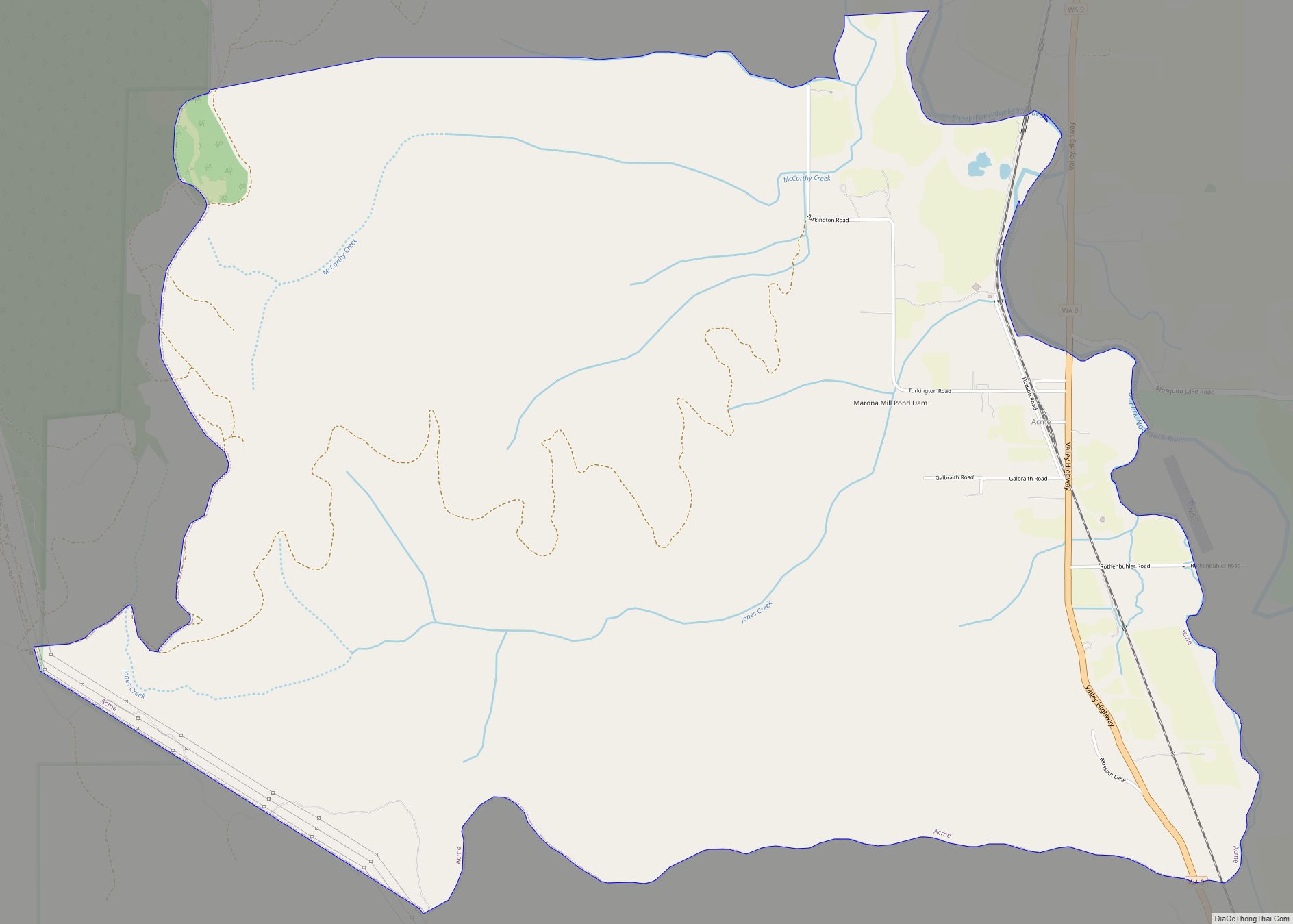
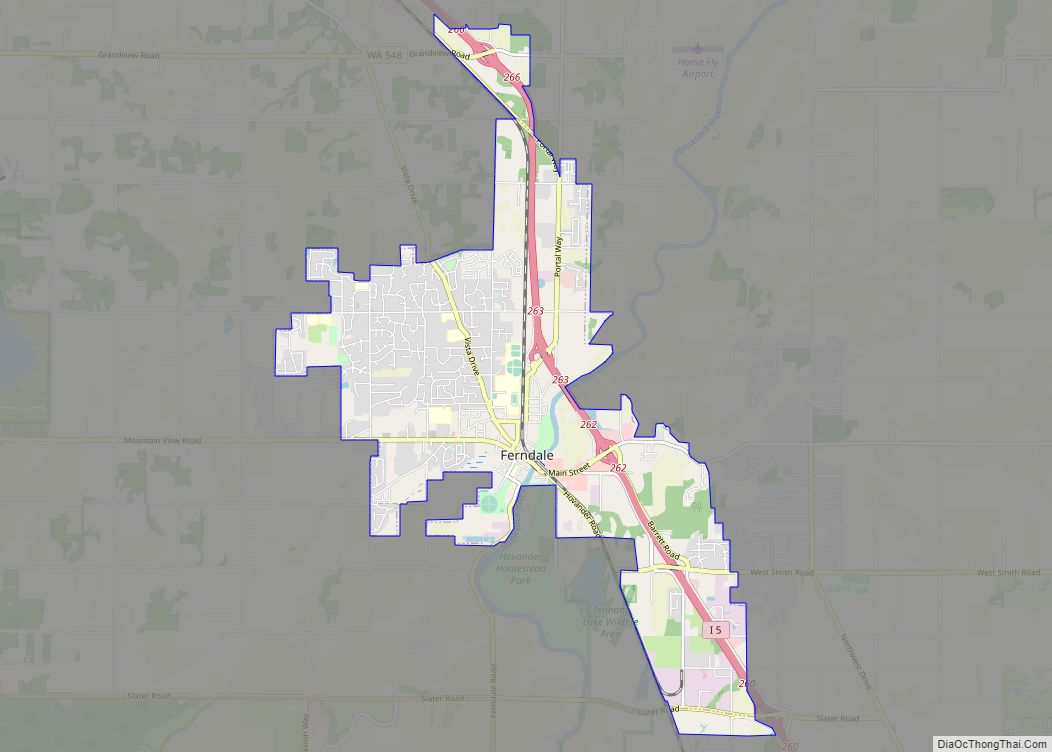
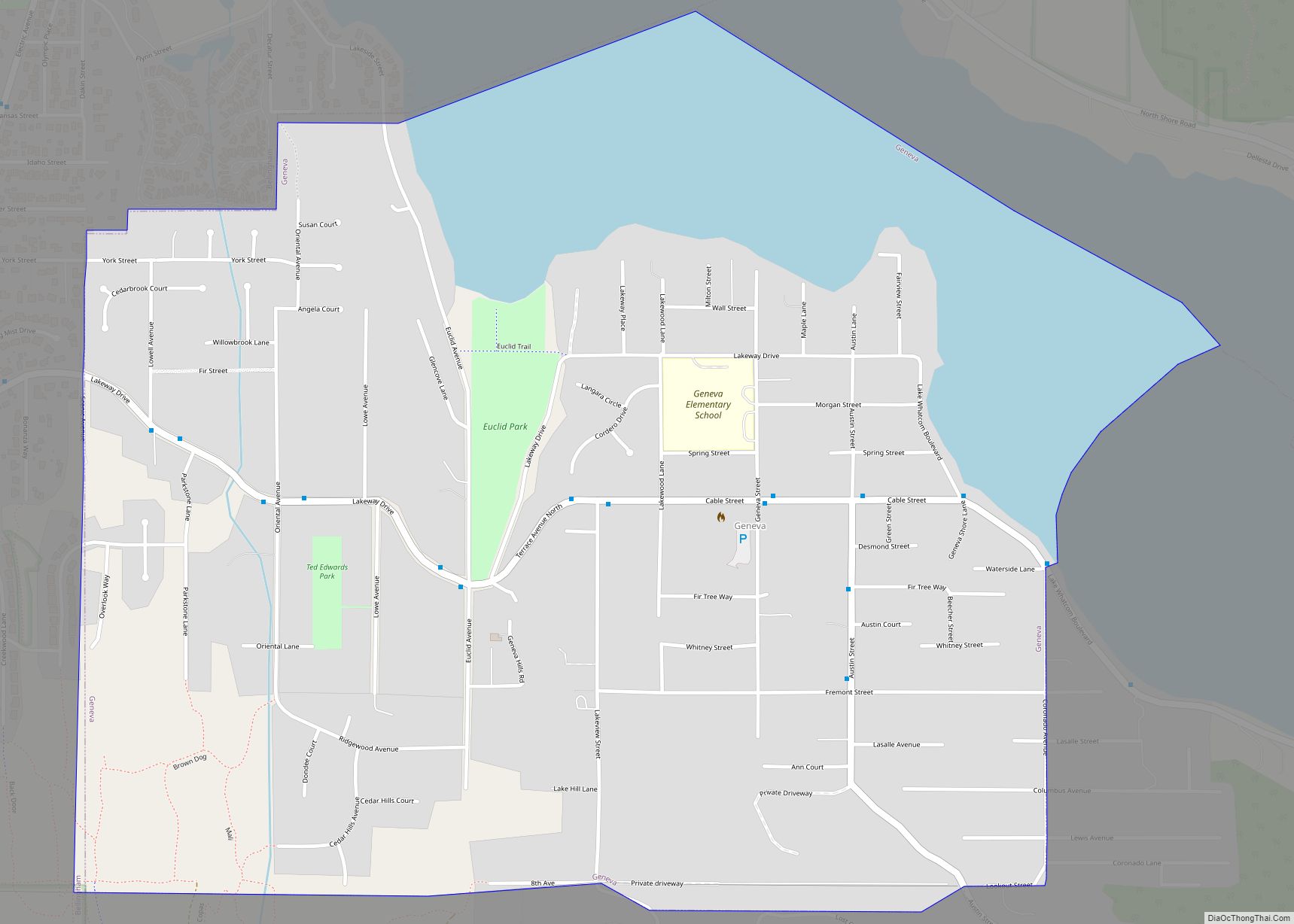
Online Interactive Map
Click on ![]() to view map in "full screen" mode.
to view map in "full screen" mode.
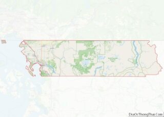
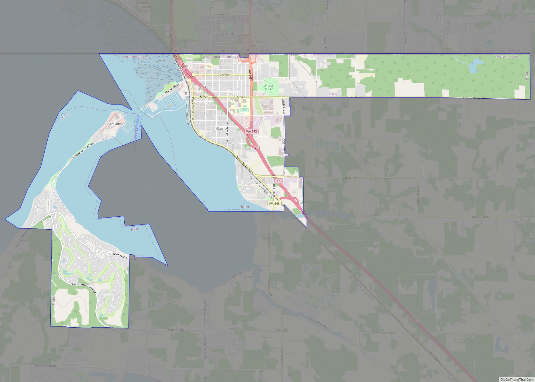
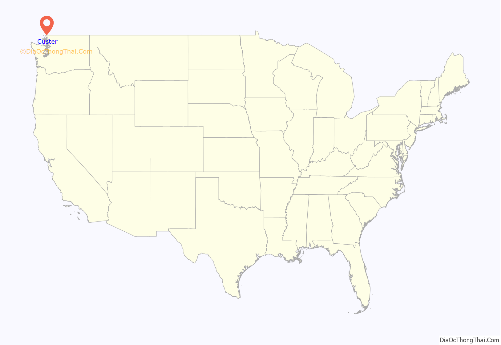
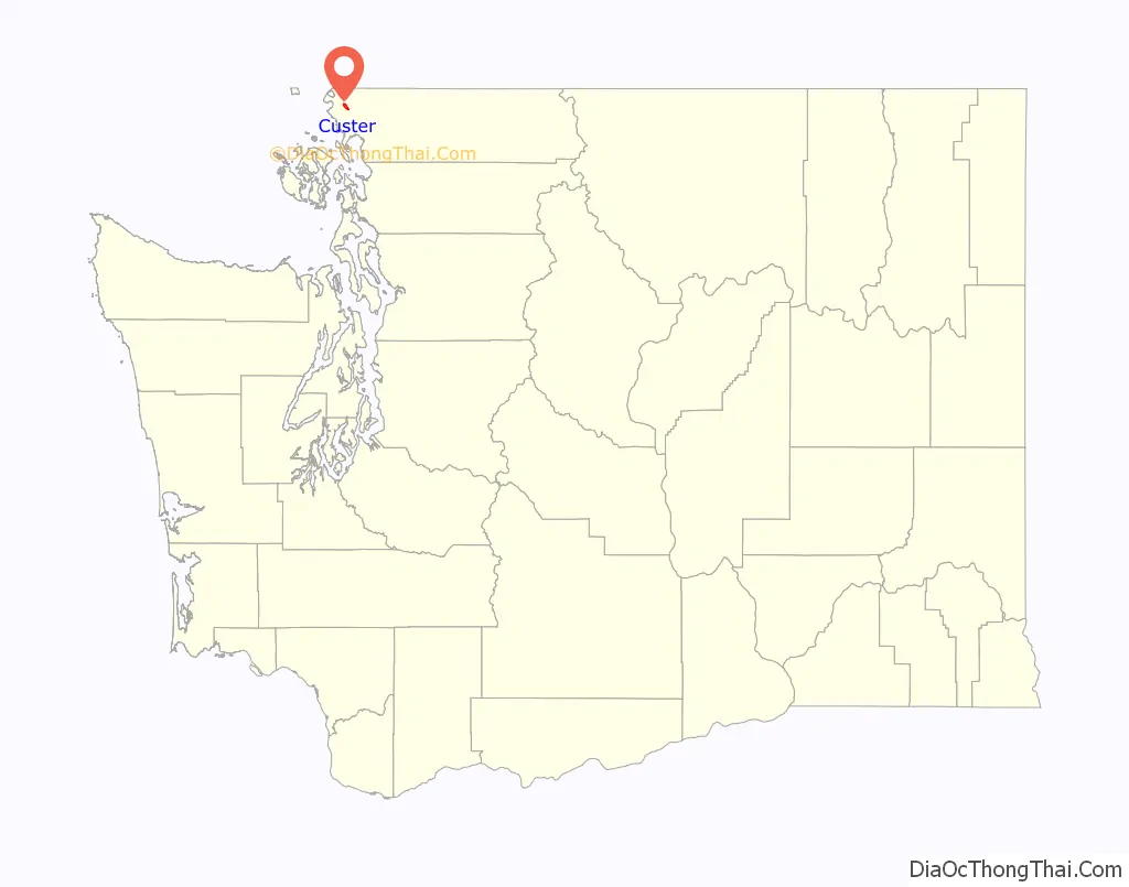
Custer location map. Where is Custer CDP?
History
Custer was named in 1886 after Albert W. Custer, an early settler and the first storekeeper and postmaster of the town. Originally the town was located at the intersection of the current Valley View and Bay Roads. In 1890-1892 the town moved to the current location with the coming of the railroad.
In December 2020, a train derailment led to the spill of approximately 30,000 gallons of oil. Most of the oil burned or evaporated, but possibly up to 8,000 gallons of a type of crude oil could not be recovered. Within weeks, air quality was considered normal and soil mitigation was completed, but the testing of groundwater and ongoing cleanup has been determined to take several years.
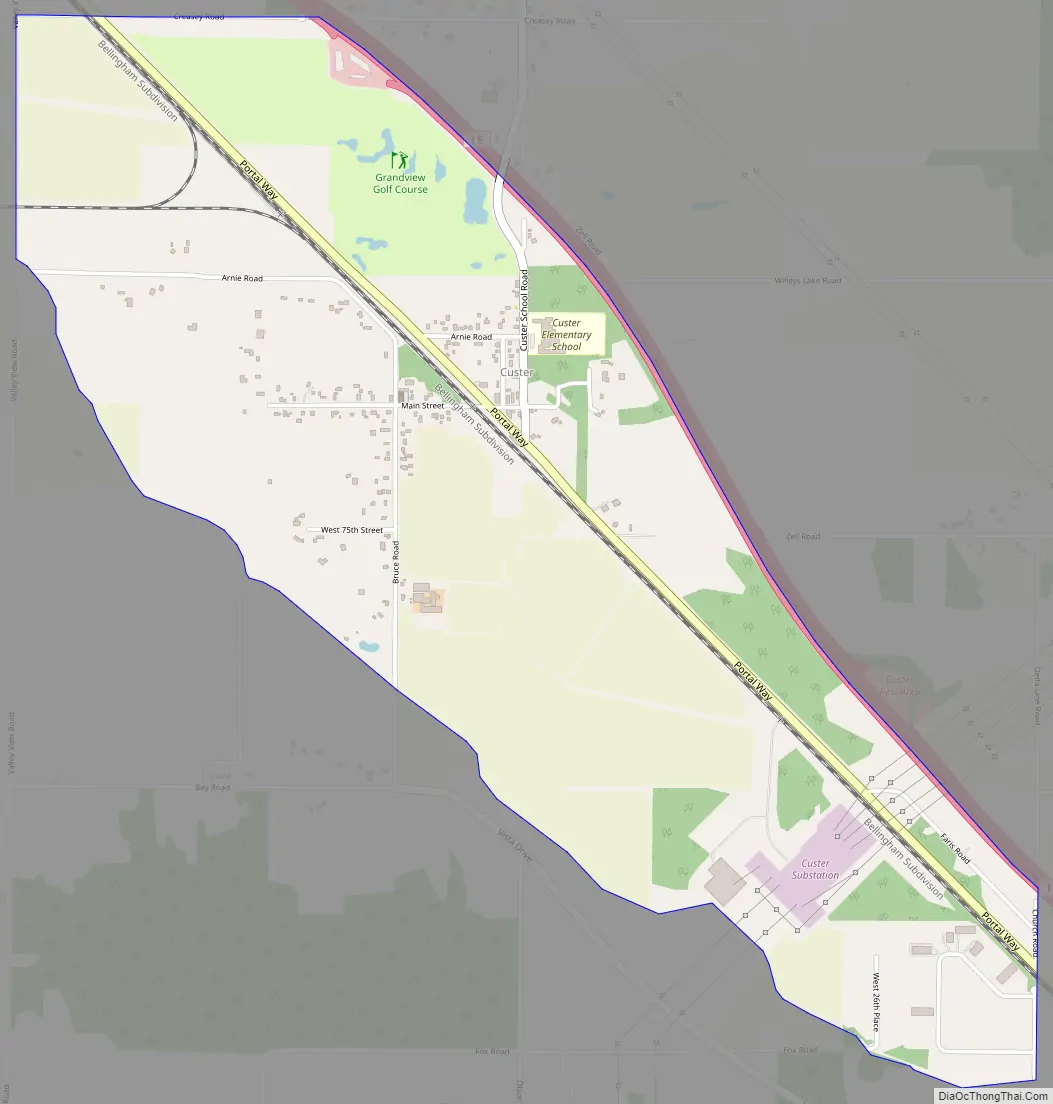
Custer Road Map
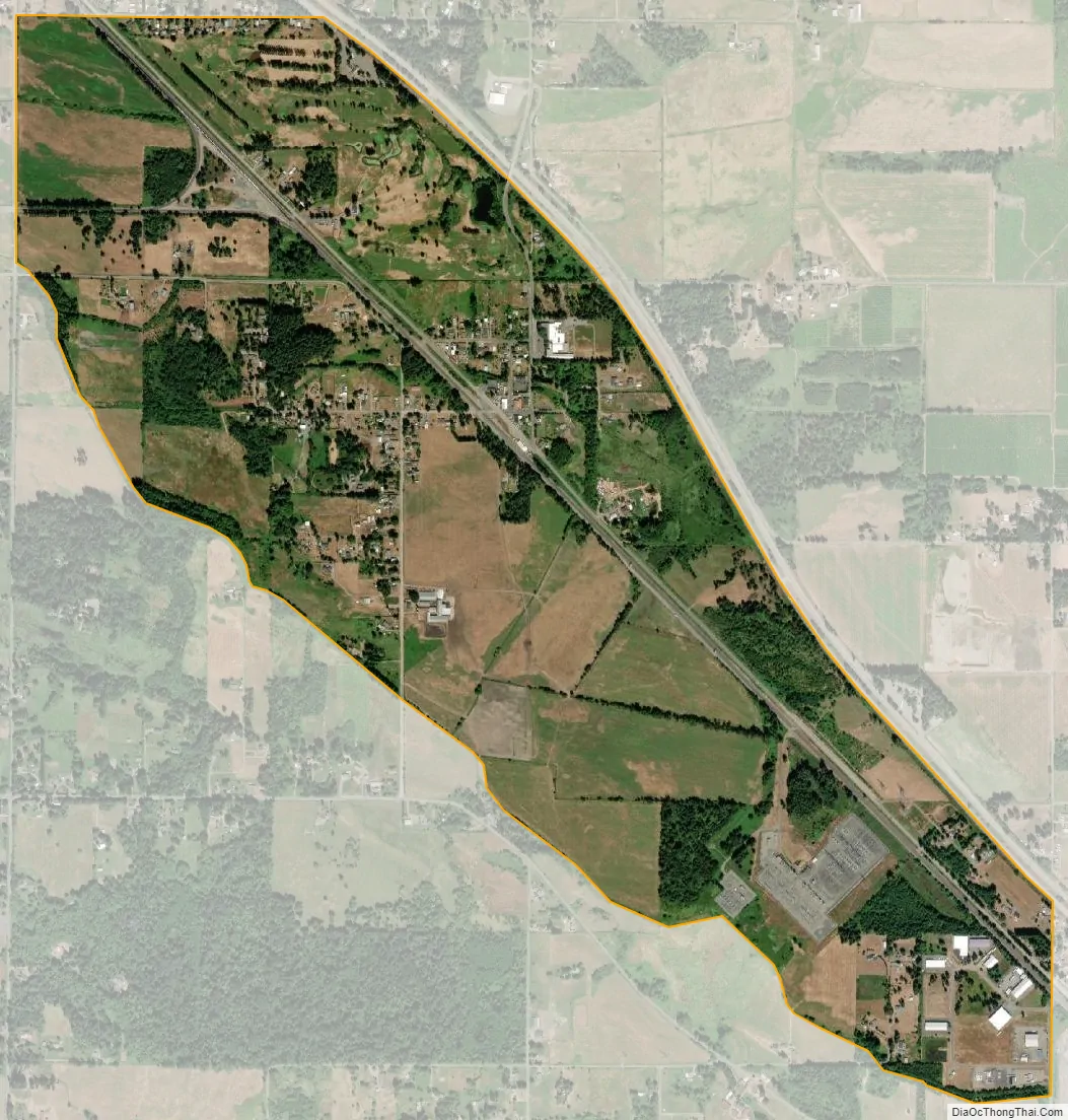
Custer city Satellite Map
Geography
According to the United States Census Bureau, the CDP has a total area of 1.8 square miles (4.7 km), all of it land.
See also
Map of Washington State and its subdivision:- Adams
- Asotin
- Benton
- Chelan
- Clallam
- Clark
- Columbia
- Cowlitz
- Douglas
- Ferry
- Franklin
- Garfield
- Grant
- Grays Harbor
- Island
- Jefferson
- King
- Kitsap
- Kittitas
- Klickitat
- Lewis
- Lincoln
- Mason
- Okanogan
- Pacific
- Pend Oreille
- Pierce
- San Juan
- Skagit
- Skamania
- Snohomish
- Spokane
- Stevens
- Thurston
- Wahkiakum
- Walla Walla
- Whatcom
- Whitman
- Yakima
- Alabama
- Alaska
- Arizona
- Arkansas
- California
- Colorado
- Connecticut
- Delaware
- District of Columbia
- Florida
- Georgia
- Hawaii
- Idaho
- Illinois
- Indiana
- Iowa
- Kansas
- Kentucky
- Louisiana
- Maine
- Maryland
- Massachusetts
- Michigan
- Minnesota
- Mississippi
- Missouri
- Montana
- Nebraska
- Nevada
- New Hampshire
- New Jersey
- New Mexico
- New York
- North Carolina
- North Dakota
- Ohio
- Oklahoma
- Oregon
- Pennsylvania
- Rhode Island
- South Carolina
- South Dakota
- Tennessee
- Texas
- Utah
- Vermont
- Virginia
- Washington
- West Virginia
- Wisconsin
- Wyoming