Everson is a city in Whatcom County, Washington, United States. The population was 2,481 at the time of the 2010 census.
Everson and the nearby city of Nooksack lie near the foothills of the Cascade mountains in Northwest Washington. Located on the banks of the Nooksack River, the businesses support the surrounding farms and logging industries. The valley is heavily influenced by Dutch settlers who established dairy farms on the fertile flood prone land. Fruit orchards and berry fields also play an important part of the town’s economy.
The town’s small business district provides all the basic services. There are restaurants, a pharmacy and grocery store, an auto-repair shop, and agricultural supply stores. The city park is located a 1/2 block south off the W. Main St. and Riverside Park is on the banks of the Nooksack River.
Throughout the year, the area hosts small festivals in town or in the surrounding area, including a summer festival and harvest festival.
| Name: | Everson city |
|---|---|
| LSAD Code: | 25 |
| LSAD Description: | city (suffix) |
| State: | Washington |
| County: | Whatcom County |
| Elevation: | 85 ft (26 m) |
| Total Area: | 1.38 sq mi (3.56 km²) |
| Land Area: | 1.35 sq mi (3.49 km²) |
| Water Area: | 0.03 sq mi (0.08 km²) |
| Total Population: | 2,481 |
| Population Density: | 2,110.70/sq mi (814.84/km²) |
| ZIP code: | 98247, 98276 |
| Area code: | 360 |
| FIPS code: | 5322745 |
| GNISfeature ID: | 1504794 |
| Website: | www.ci.everson.wa.us |
Online Interactive Map
Click on ![]() to view map in "full screen" mode.
to view map in "full screen" mode.
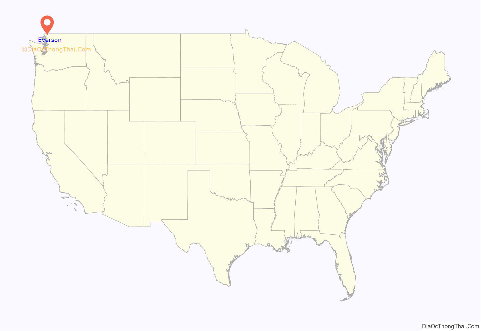
Everson location map. Where is Everson city?
History
Everson was named for a local pioneer, Ever Everson. Everson was officially incorporated on May 4, 1929.
In February 2009, a citizens group and local officials proposed consolidating Everson and Nooksack into a single city with a combined population of 3,819 (2010 census). The neighboring cities shared several municipal services at the time, and a combined government would provide cost savings and advantages in grand writing. The Bellingham Herald compared the merger to that of the four towns that formed Bellingham in 1903. Names for the proposed new city included “Nooksack Valley”. The proposal was dropped in May following a unanimous vote by the Nooksack City Council to not move forward based on public feedback.
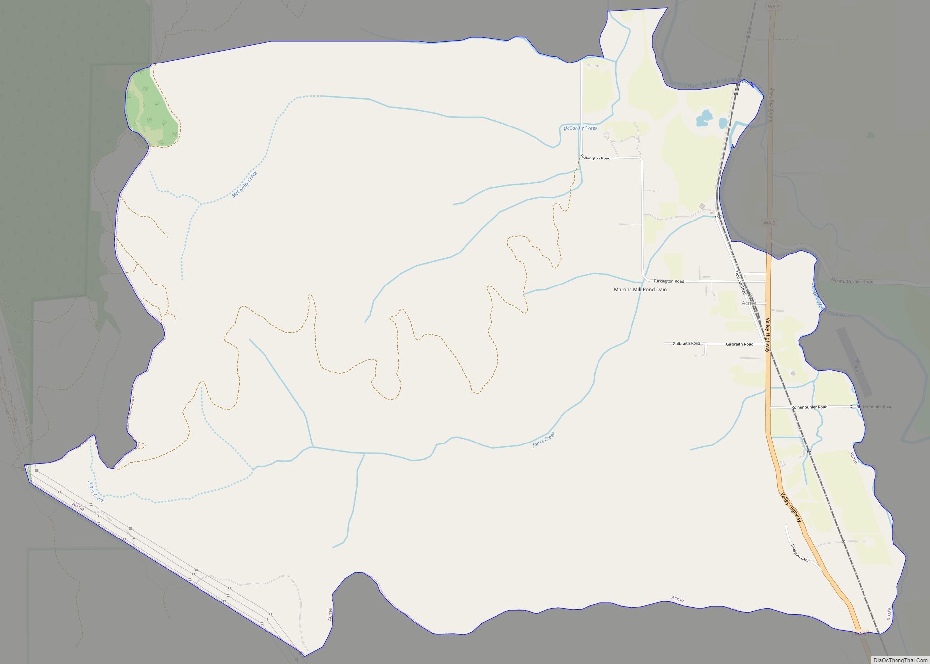
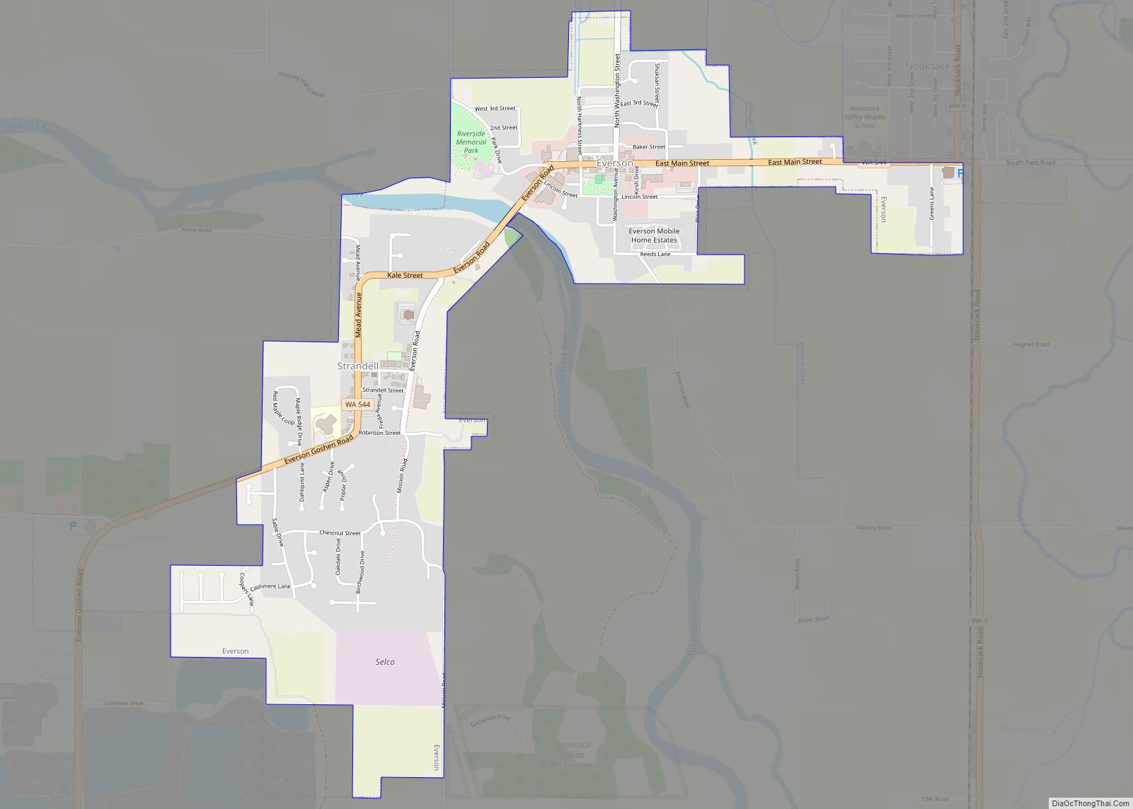
Everson Road Map
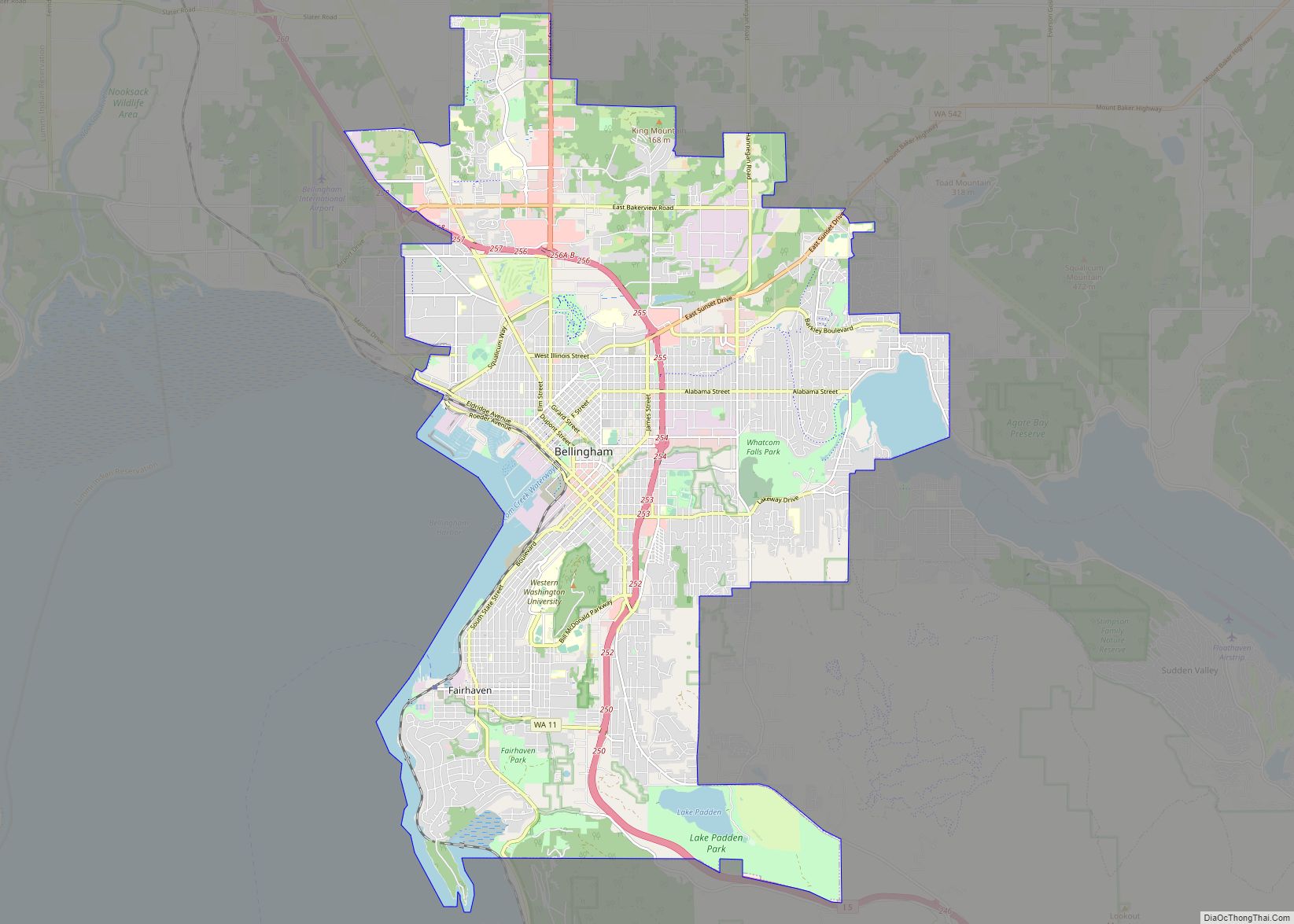
Everson city Satellite Map
Geography
Everson is located at 48°55′3″N 122°20′56″W / 48.91750°N 122.34889°W / 48.91750; -122.34889 (48.917421, -122.348779).
According to the United States Census Bureau, the city has a total area of 1.26 square miles (3.26 km), of which, 1.24 square miles (3.21 km) is land and 0.02 square miles (0.05 km) is water.
See also
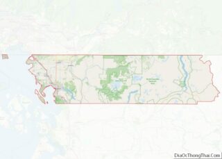
Map of Washington State and its subdivision:- Adams
- Asotin
- Benton
- Chelan
- Clallam
- Clark
- Columbia
- Cowlitz
- Douglas
- Ferry
- Franklin
- Garfield
- Grant
- Grays Harbor
- Island
- Jefferson
- King
- Kitsap
- Kittitas
- Klickitat
- Lewis
- Lincoln
- Mason
- Okanogan
- Pacific
- Pend Oreille
- Pierce
- San Juan
- Skagit
- Skamania
- Snohomish
- Spokane
- Stevens
- Thurston
- Wahkiakum
- Walla Walla
- Whatcom
- Whitman
- Yakima
- Alabama
- Alaska
- Arizona
- Arkansas
- California
- Colorado
- Connecticut
- Delaware
- District of Columbia
- Florida
- Georgia
- Hawaii
- Idaho
- Illinois
- Indiana
- Iowa
- Kansas
- Kentucky
- Louisiana
- Maine
- Maryland
- Massachusetts
- Michigan
- Minnesota
- Mississippi
- Missouri
- Montana
- Nebraska
- Nevada
- New Hampshire
- New Jersey
- New Mexico
- New York
- North Carolina
- North Dakota
- Ohio
- Oklahoma
- Oregon
- Pennsylvania
- Rhode Island
- South Carolina
- South Dakota
- Tennessee
- Texas
- Utah
- Vermont
- Virginia
- Washington
- West Virginia
- Wisconsin
- Wyoming
