Federal Way is a city in King County, Washington, United States. One of the most recently incorporated cities in the county, its population was 101,030 at the 2020 census. Federal Way is the tenth-largest city in Washington and the fifth-largest in King County.
| Name: | Federal Way city |
|---|---|
| LSAD Code: | 25 |
| LSAD Description: | city (suffix) |
| State: | Washington |
| County: | King County |
| Incorporated: | 1990 |
| Elevation: | 515 ft (157 m) |
| Total Area: | 23.70 sq mi (61.39 km²) |
| Land Area: | 22.30 sq mi (57.74 km²) |
| Water Area: | 1.41 sq mi (3.64 km²) |
| Total Population: | 101,030 |
| Population Density: | 4,300/sq mi (1,600/km²) |
| ZIP code: | 98001, 98003, 98023, 98063, 98093 |
| Area code: | 253 |
| FIPS code: | 5323515 |
| GNISfeature ID: | 1534582 |
| Website: | cityoffederalway.com |
Online Interactive Map
Click on ![]() to view map in "full screen" mode.
to view map in "full screen" mode.
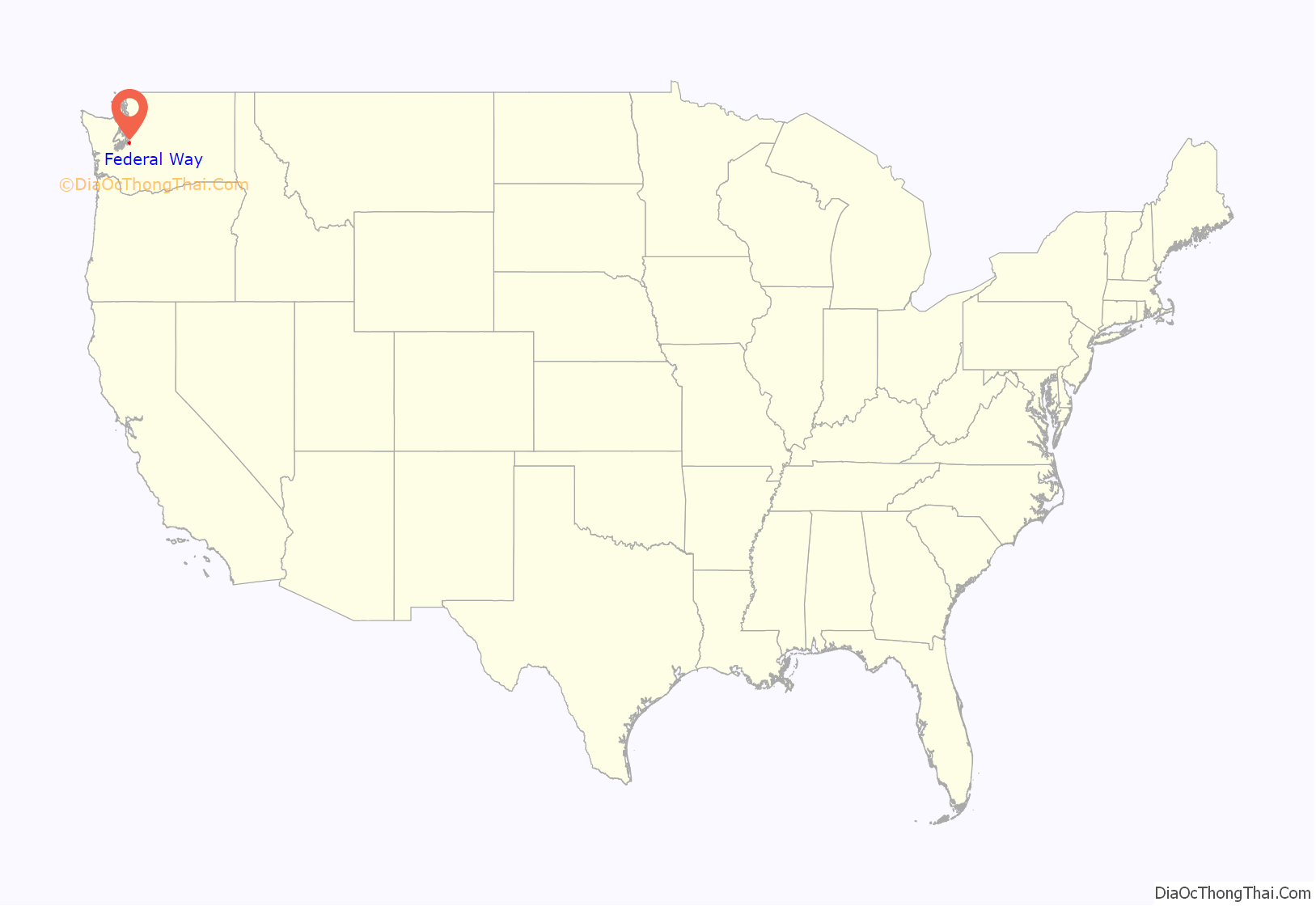
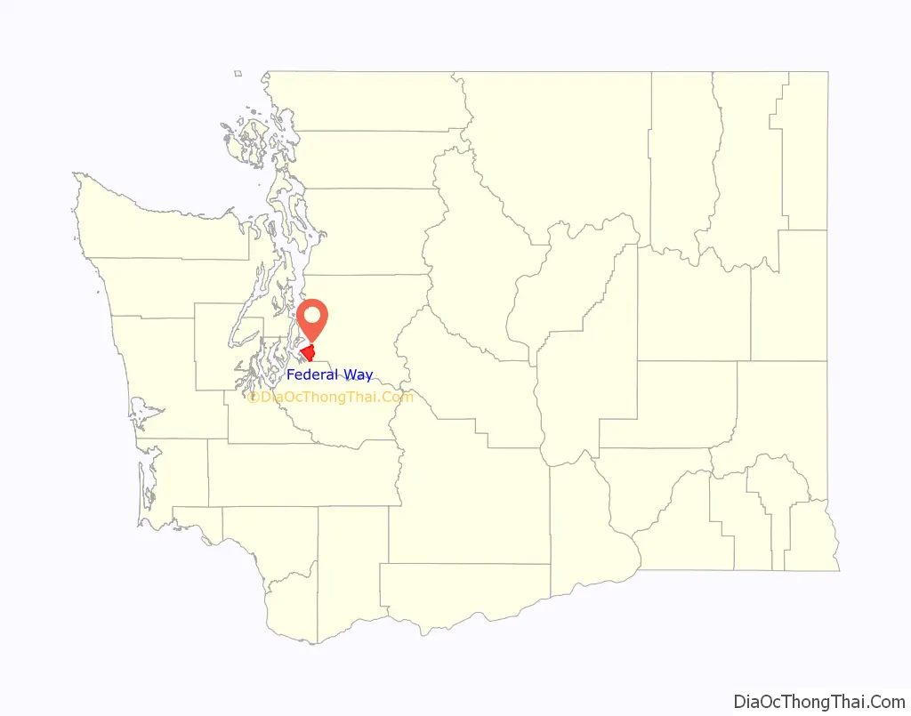
Federal Way location map. Where is Federal Way city?
History
Originally a logging settlement, the area was first called “Federal Way” in 1929. The name derived from Federal Highway U.S. 99 (now State Route 99 or Pacific Highway South), which ran from Everett and Seattle to Tacoma. The name “Federal Way” was first used in 1929 when five existing schools consolidated operations into School District #210 and planned construction of Federal Way High School, which opened in 1930 and gave its name to the school district. The local chamber of commerce adopted the name in the early 1950s.
Attempts to incorporate the city were voted down in 1971, 1981 and 1985. The voters eventually approved incorporation as a city on February 28, 1990; the official act of incorporation was held at the Sportsworld Lanes bowling complex.
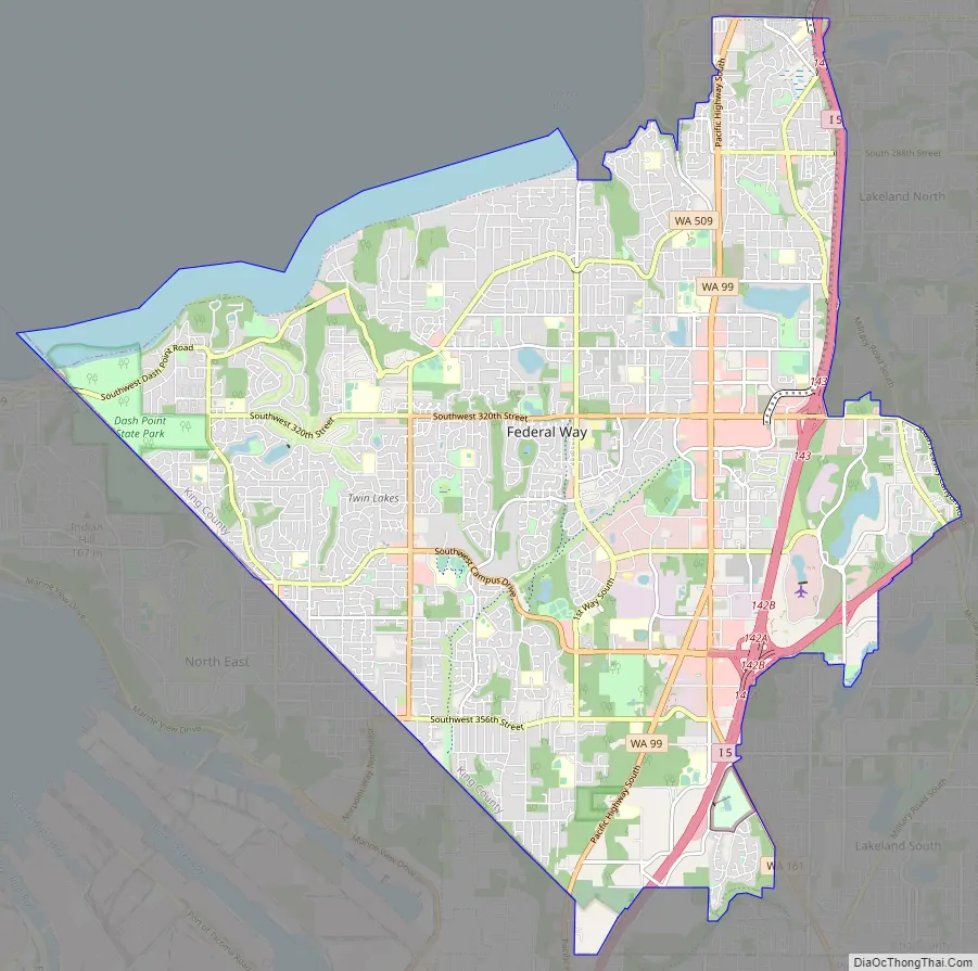
Federal Way Road Map
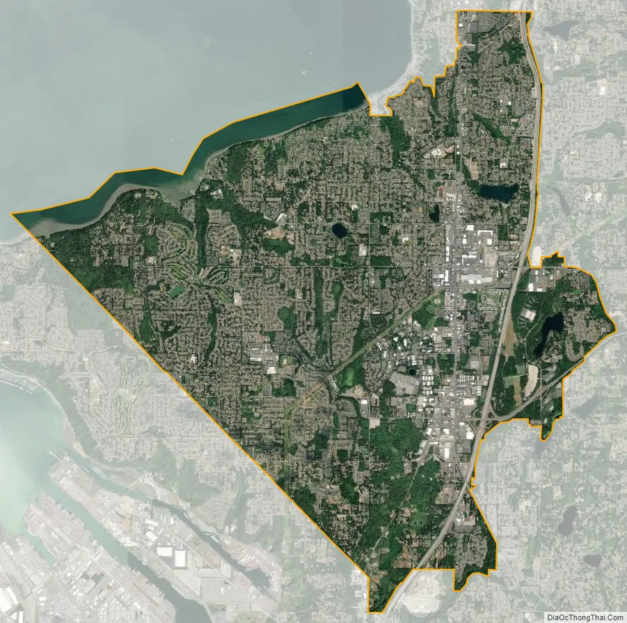
Federal Way city Satellite Map
Geography
Federal Way is located in the southwest corner of King County at 47°18′47″N 122°20′21″W / 47.31306°N 122.33917°W / 47.31306; -122.33917 (47.312960, −122.339173).
According to the United States Census Bureau, the city has a total area of 22.46 sq mi (58.17 km), of which 22.26 sq mi (57.65 km) are land and 0.20 sq mi (0.52 km) are water.
Surrounding cities
Climate
This region experiences warm (but not hot) and dry summers, with no average monthly temperatures above 71.6 °F. According to the Köppen Climate Classification system, Federal Way has a warm-summer Mediterranean climate, abbreviated “Csb” on climate maps.
See also
Map of Washington State and its subdivision:- Adams
- Asotin
- Benton
- Chelan
- Clallam
- Clark
- Columbia
- Cowlitz
- Douglas
- Ferry
- Franklin
- Garfield
- Grant
- Grays Harbor
- Island
- Jefferson
- King
- Kitsap
- Kittitas
- Klickitat
- Lewis
- Lincoln
- Mason
- Okanogan
- Pacific
- Pend Oreille
- Pierce
- San Juan
- Skagit
- Skamania
- Snohomish
- Spokane
- Stevens
- Thurston
- Wahkiakum
- Walla Walla
- Whatcom
- Whitman
- Yakima
- Alabama
- Alaska
- Arizona
- Arkansas
- California
- Colorado
- Connecticut
- Delaware
- District of Columbia
- Florida
- Georgia
- Hawaii
- Idaho
- Illinois
- Indiana
- Iowa
- Kansas
- Kentucky
- Louisiana
- Maine
- Maryland
- Massachusetts
- Michigan
- Minnesota
- Mississippi
- Missouri
- Montana
- Nebraska
- Nevada
- New Hampshire
- New Jersey
- New Mexico
- New York
- North Carolina
- North Dakota
- Ohio
- Oklahoma
- Oregon
- Pennsylvania
- Rhode Island
- South Carolina
- South Dakota
- Tennessee
- Texas
- Utah
- Vermont
- Virginia
- Washington
- West Virginia
- Wisconsin
- Wyoming


