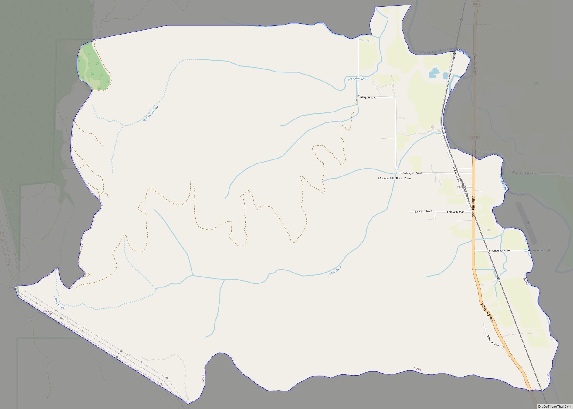
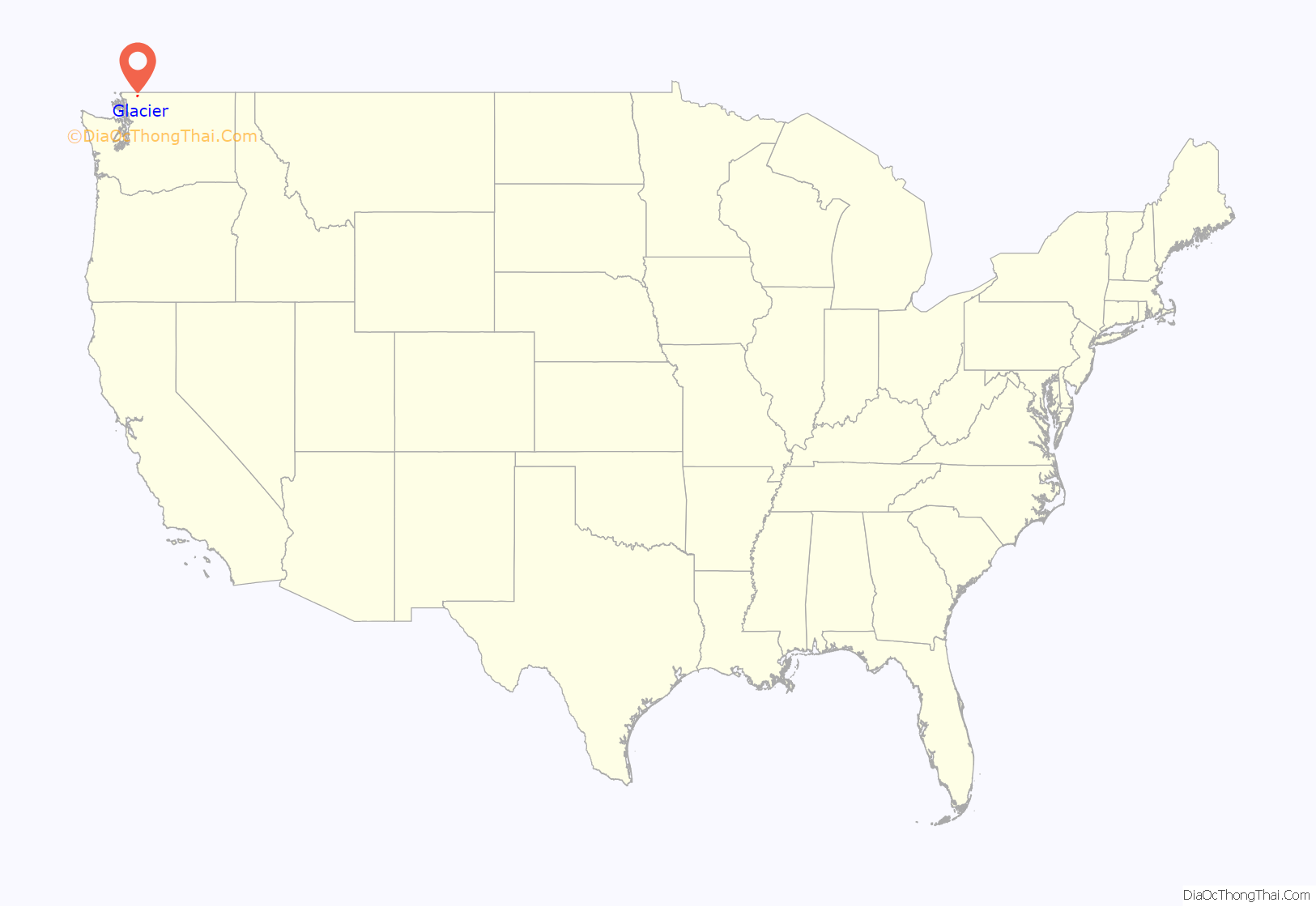
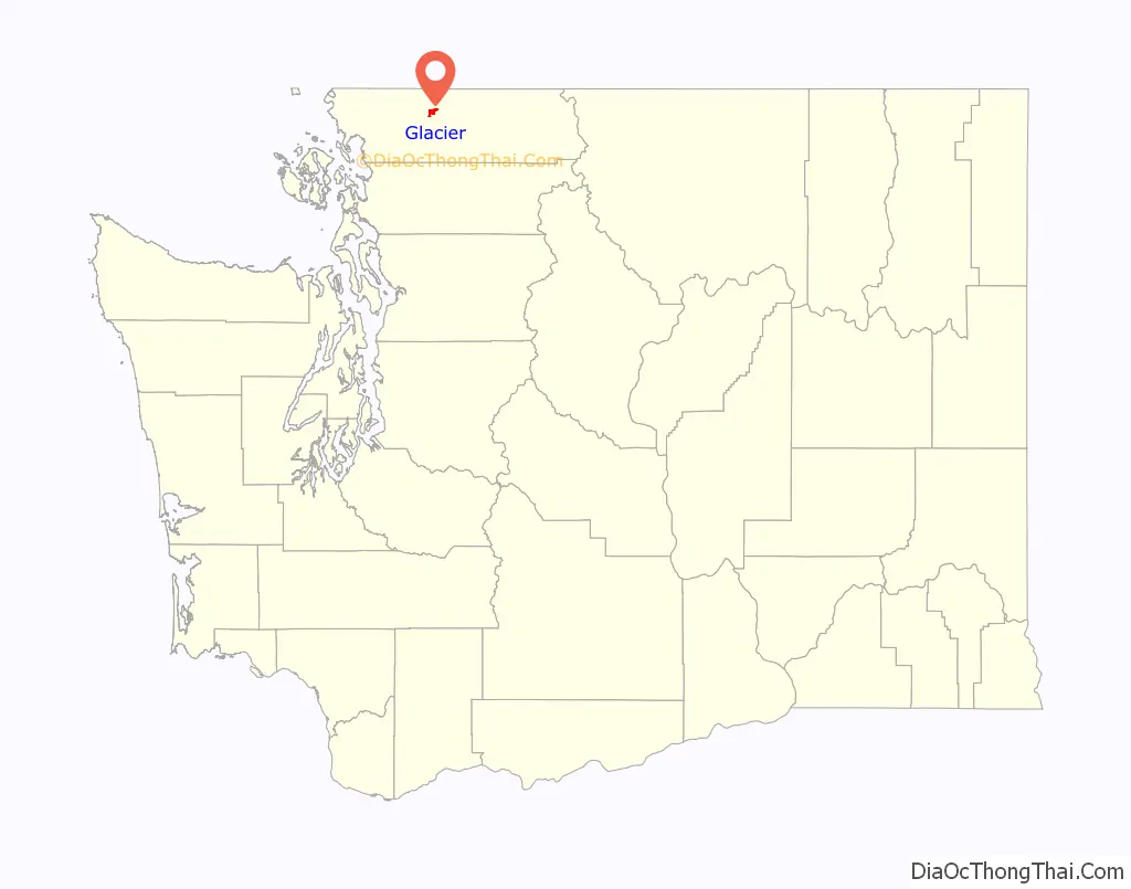
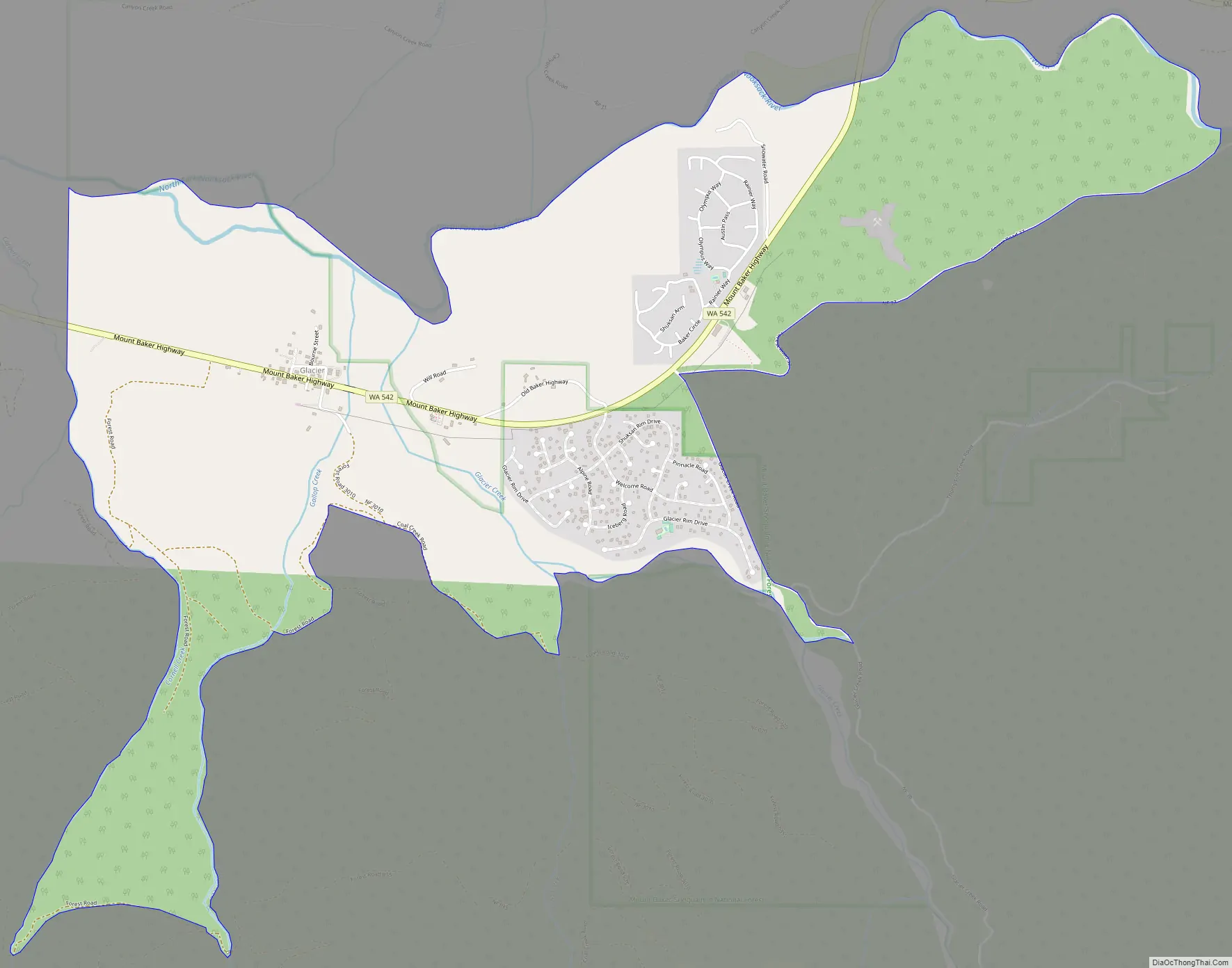
Glacier is a census-designated place in the North Fork Nooksack River Valley, at an elevation of 906 ft., just 10 miles northwest of the Mount Baker Summit towering nearly 10,000 ft above it, in Whatcom County, Washington, United States. The population was 211 at the 2010 census.
Glacier is the community closest to Mt. Baker, and a 20-mile drive from the Mt. Baker Ski Area. The Glacier Public Service Center, staffed by both United States Forest Service and National Park Service personnel, is less than a mile east.
| Name: | Glacier CDP |
|---|---|
| LSAD Code: | 57 |
| LSAD Description: | CDP (suffix) |
| State: | Washington |
| County: | Whatcom County |
| Elevation: | 906 ft (276 m) |
| Total Area: | 3.0 sq mi (7.8 km²) |
| Land Area: | 3.0 sq mi (7.8 km²) |
| Water Area: | 0.0 sq mi (0.0 km²) |
| Total Population: | 211 |
| Population Density: | 29.9/sq mi (11.6/km²) |
| ZIP code: | 98244 |
| Area code: | 360 |
| FIPS code: | 5326875 |
| GNISfeature ID: | 1519971 |
Online Interactive Map
Click on ![]() to view map in "full screen" mode.
to view map in "full screen" mode.
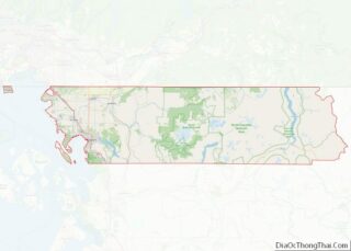
Glacier location map. Where is Glacier CDP?
History
Glacier was founded and named in 1909 by Jennie Vaughn.
Originally a site for gold mining and logging, commercial influence was probably the reason for both residential growth and interest by the Bellingham Bay and British Columbia Railroad. The area was made public after the creation of the Mount Baker Highway in 1923.
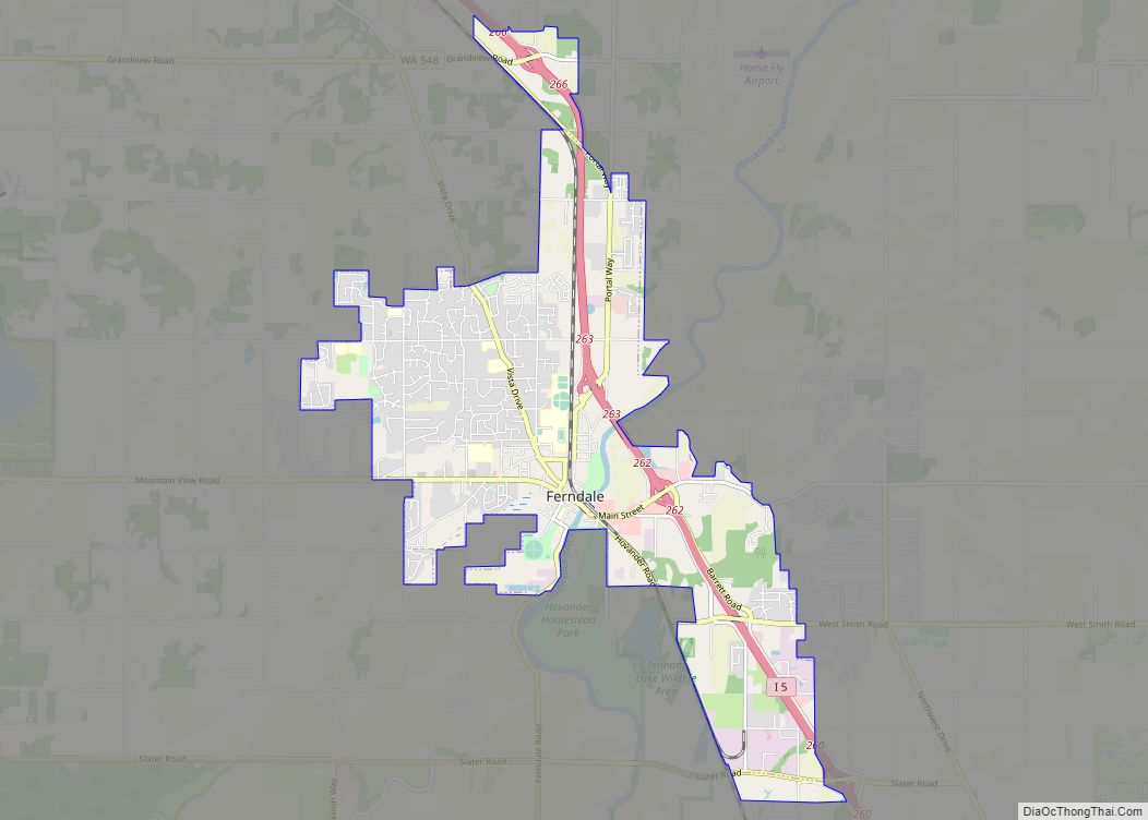
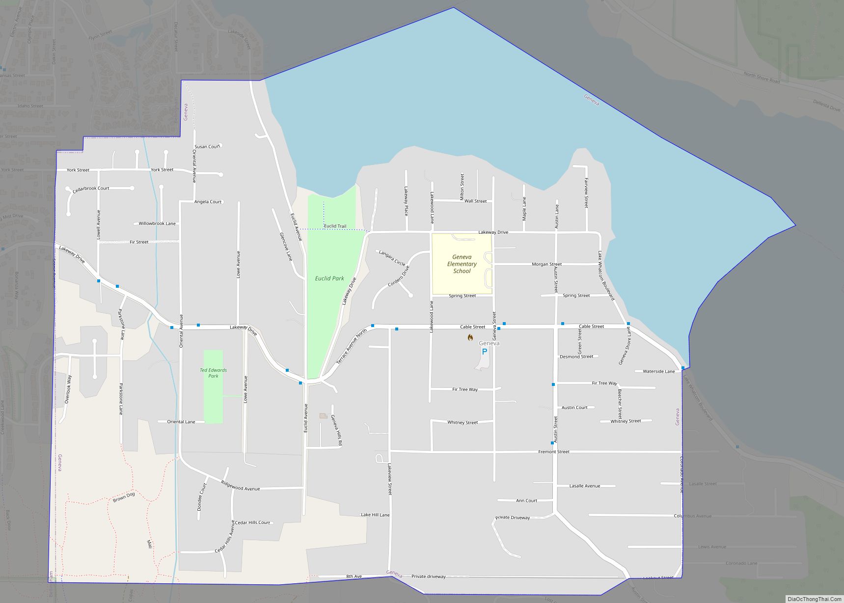
Glacier Road Map
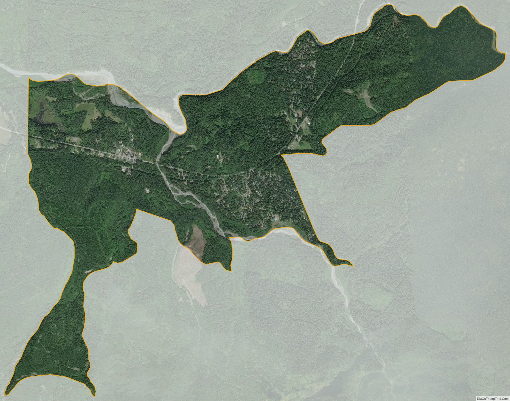
Glacier city Satellite Map
Geography
According to the United States Census Bureau, the CDP has a total area of 3.0 square miles (7.8 km), all of it land.
See also
Map of Washington State and its subdivision:- Adams
- Asotin
- Benton
- Chelan
- Clallam
- Clark
- Columbia
- Cowlitz
- Douglas
- Ferry
- Franklin
- Garfield
- Grant
- Grays Harbor
- Island
- Jefferson
- King
- Kitsap
- Kittitas
- Klickitat
- Lewis
- Lincoln
- Mason
- Okanogan
- Pacific
- Pend Oreille
- Pierce
- San Juan
- Skagit
- Skamania
- Snohomish
- Spokane
- Stevens
- Thurston
- Wahkiakum
- Walla Walla
- Whatcom
- Whitman
- Yakima
- Alabama
- Alaska
- Arizona
- Arkansas
- California
- Colorado
- Connecticut
- Delaware
- District of Columbia
- Florida
- Georgia
- Hawaii
- Idaho
- Illinois
- Indiana
- Iowa
- Kansas
- Kentucky
- Louisiana
- Maine
- Maryland
- Massachusetts
- Michigan
- Minnesota
- Mississippi
- Missouri
- Montana
- Nebraska
- Nevada
- New Hampshire
- New Jersey
- New Mexico
- New York
- North Carolina
- North Dakota
- Ohio
- Oklahoma
- Oregon
- Pennsylvania
- Rhode Island
- South Carolina
- South Dakota
- Tennessee
- Texas
- Utah
- Vermont
- Virginia
- Washington
- West Virginia
- Wisconsin
- Wyoming