Inchelium (Okanagan: N̓čaʔlíwm̓) is a census-designated place (CDP) in Ferry County, Washington, United States on the Colville Indian Reservation. The population was 431 at the 2020 Census.
Inchelium was relocated from an earlier site in the early 1940s. Old Inchelium had been located on the banks of the Columbia River before the construction of the Grand Coulee Dam. As the waters rose behind the dam, the town had to be moved. A description of life in the last years of Old Inchelium and of the move can be found in Lawney Reyes’ memoir White Grizzly Bear’s Legacy: Learning to be Indian and his history/memoir B Street: The Notorious Playground of Coulee Dam.
Inchelium is the demographic heart of the Inchelium School District and the Confederated Tribes of the Colville Reservation Inchelium Legislative District
| Name: | Inchelium CDP |
|---|---|
| LSAD Code: | 57 |
| LSAD Description: | CDP (suffix) |
| State: | Washington |
| County: | Ferry County |
| Elevation: | 1,568 ft (478 m) |
| Total Area: | 26.6 sq mi (68.8 km²) |
| Land Area: | 26.5 sq mi (68.7 km²) |
| Water Area: | 0.0 sq mi (0.1 km²) |
| Total Population: | 409 |
| Population Density: | 15.4/sq mi (6/km²) |
| ZIP code: | 99138 |
| Area code: | 509 |
| FIPS code: | 5333105 |
| GNISfeature ID: | 1521149 |
Online Interactive Map
Click on ![]() to view map in "full screen" mode.
to view map in "full screen" mode.
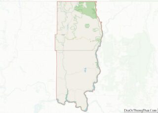
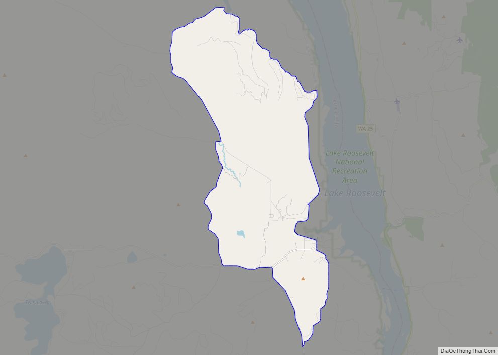
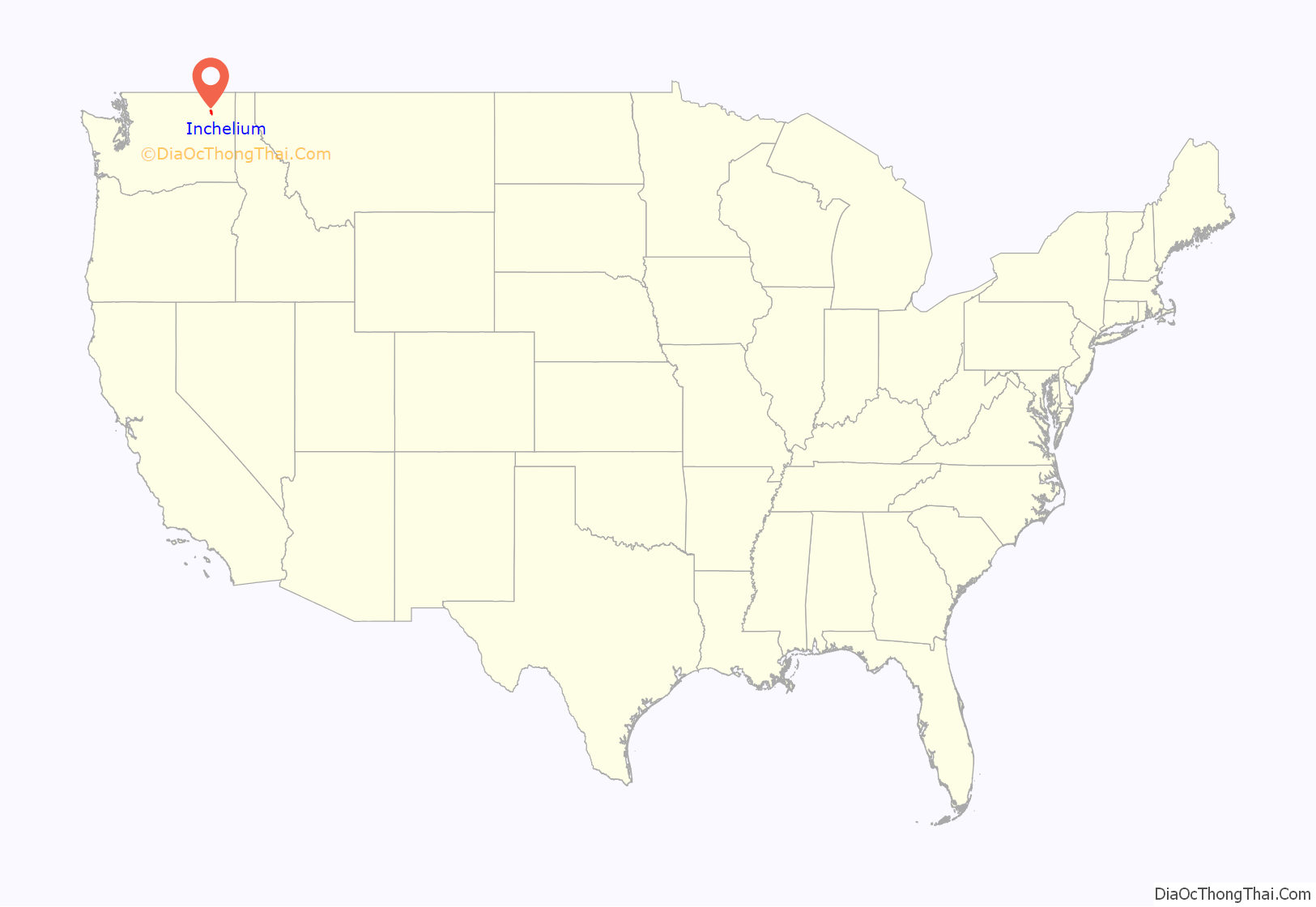
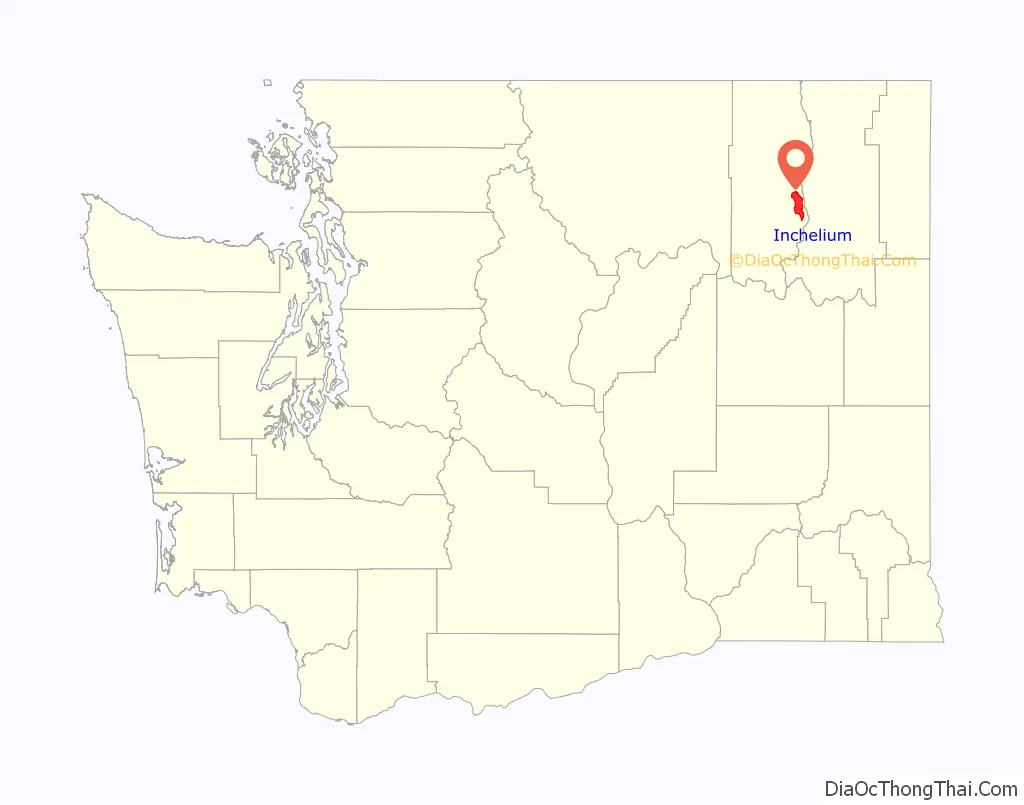
Inchelium location map. Where is Inchelium CDP?
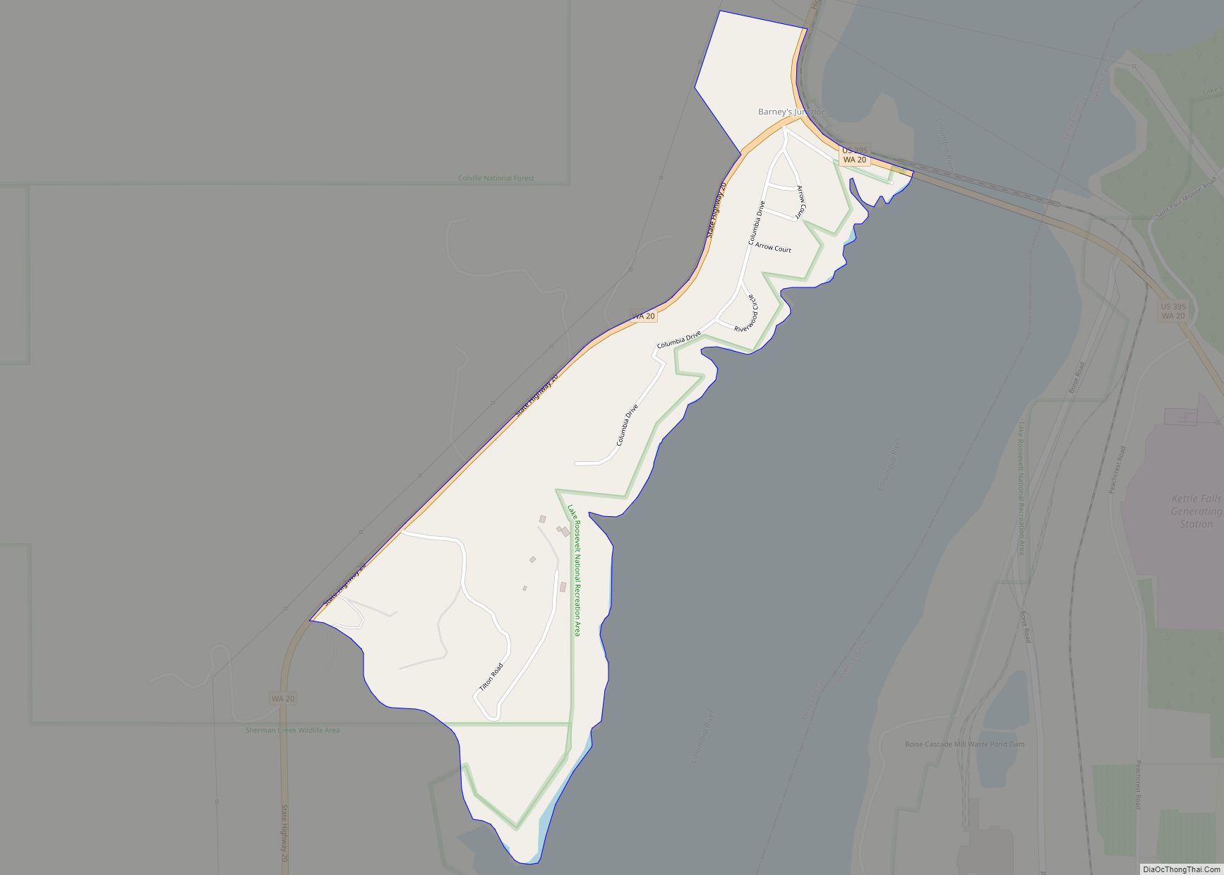
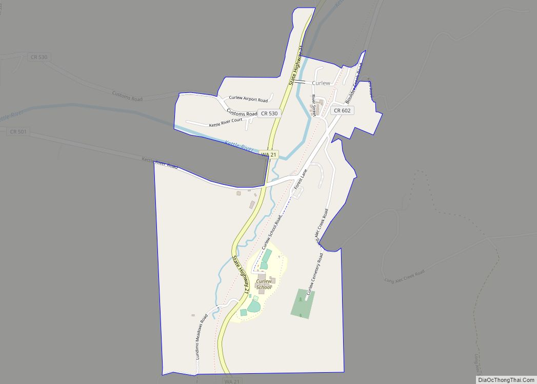
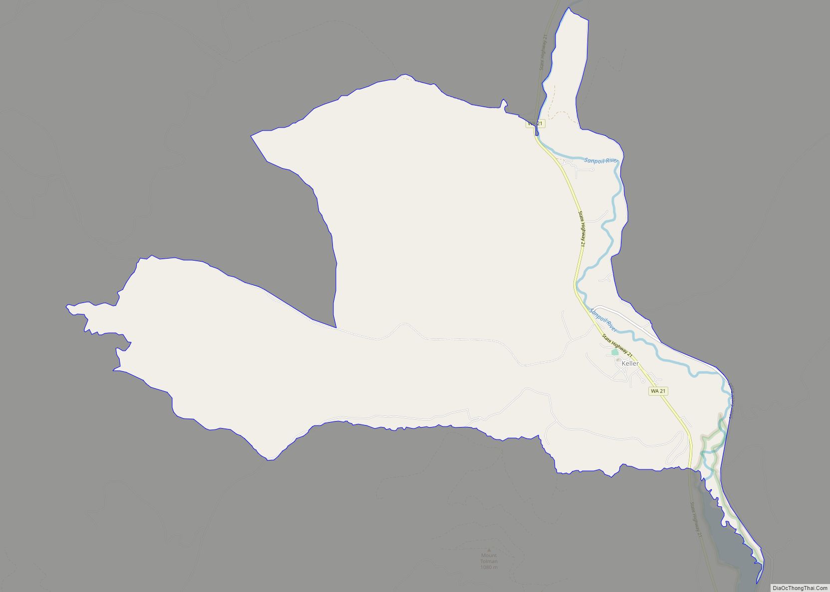
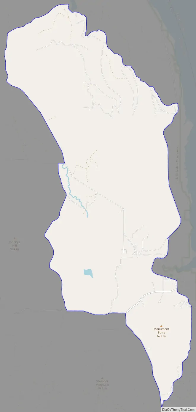
Inchelium Road Map
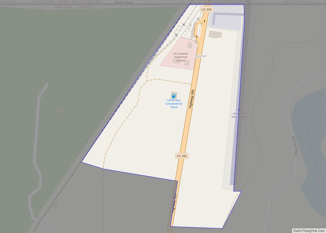
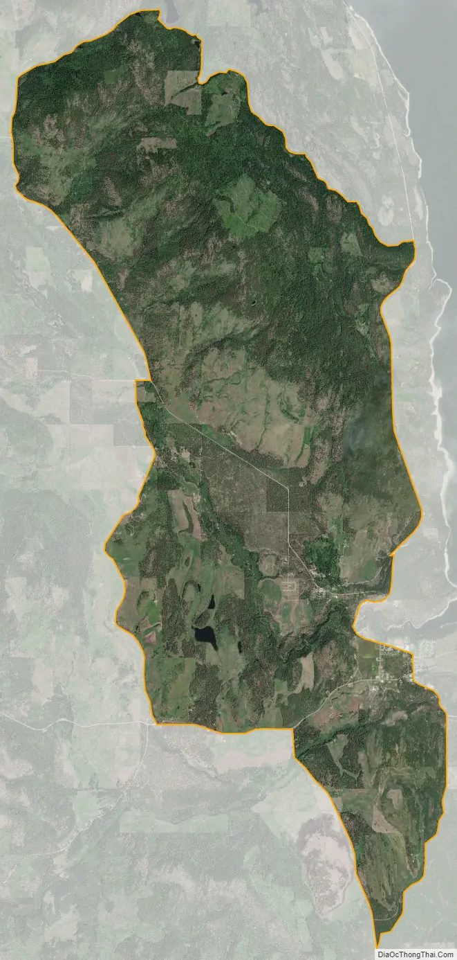
Inchelium city Satellite Map
Geography
Inchelium is located at 47°49′0.1″N 118°13′18″W / 47.816694°N 118.22167°W / 47.816694; -118.22167 (48.313214, -118.221681).
According to the United States Census Bureau, the CDP has a total area of 26.5 square miles (68.8 km), of which, 26.5 square miles (68.7 km) of it is land and 0.04 square miles (0.1 km) of it (0.11%) is water.
See also
Map of Washington State and its subdivision:- Adams
- Asotin
- Benton
- Chelan
- Clallam
- Clark
- Columbia
- Cowlitz
- Douglas
- Ferry
- Franklin
- Garfield
- Grant
- Grays Harbor
- Island
- Jefferson
- King
- Kitsap
- Kittitas
- Klickitat
- Lewis
- Lincoln
- Mason
- Okanogan
- Pacific
- Pend Oreille
- Pierce
- San Juan
- Skagit
- Skamania
- Snohomish
- Spokane
- Stevens
- Thurston
- Wahkiakum
- Walla Walla
- Whatcom
- Whitman
- Yakima
- Alabama
- Alaska
- Arizona
- Arkansas
- California
- Colorado
- Connecticut
- Delaware
- District of Columbia
- Florida
- Georgia
- Hawaii
- Idaho
- Illinois
- Indiana
- Iowa
- Kansas
- Kentucky
- Louisiana
- Maine
- Maryland
- Massachusetts
- Michigan
- Minnesota
- Mississippi
- Missouri
- Montana
- Nebraska
- Nevada
- New Hampshire
- New Jersey
- New Mexico
- New York
- North Carolina
- North Dakota
- Ohio
- Oklahoma
- Oregon
- Pennsylvania
- Rhode Island
- South Carolina
- South Dakota
- Tennessee
- Texas
- Utah
- Vermont
- Virginia
- Washington
- West Virginia
- Wisconsin
- Wyoming