Kendall is a census-designated place (CDP) in Whatcom County, Washington, United States. The population was 191 at the 2010 census.
| Name: | Kendall CDP |
|---|---|
| LSAD Code: | 57 |
| LSAD Description: | CDP (suffix) |
| State: | Washington |
| County: | Whatcom County |
| Elevation: | 443 ft (135 m) |
| Total Area: | 0.8 sq mi (2.2 km²) |
| Land Area: | 0.8 sq mi (2.1 km²) |
| Water Area: | 0.0 sq mi (0.1 km²) |
| Total Population: | 191 |
| Population Density: | 191.6/sq mi (74.0/km²) |
| ZIP code: | 98244 |
| Area code: | 360 |
| FIPS code: | 5335135 |
| GNISfeature ID: | 1521606 |
Online Interactive Map
Click on ![]() to view map in "full screen" mode.
to view map in "full screen" mode.
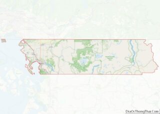
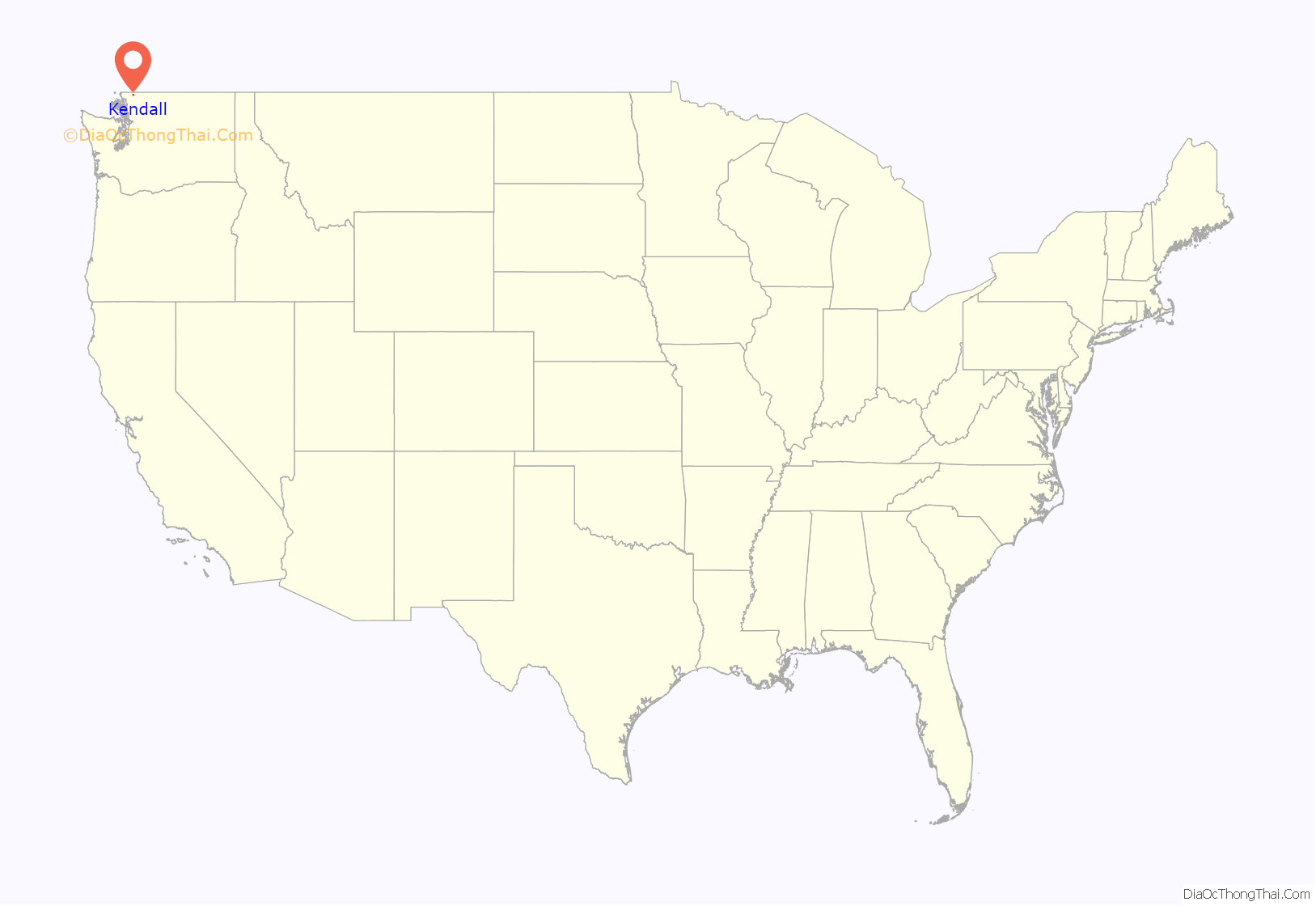
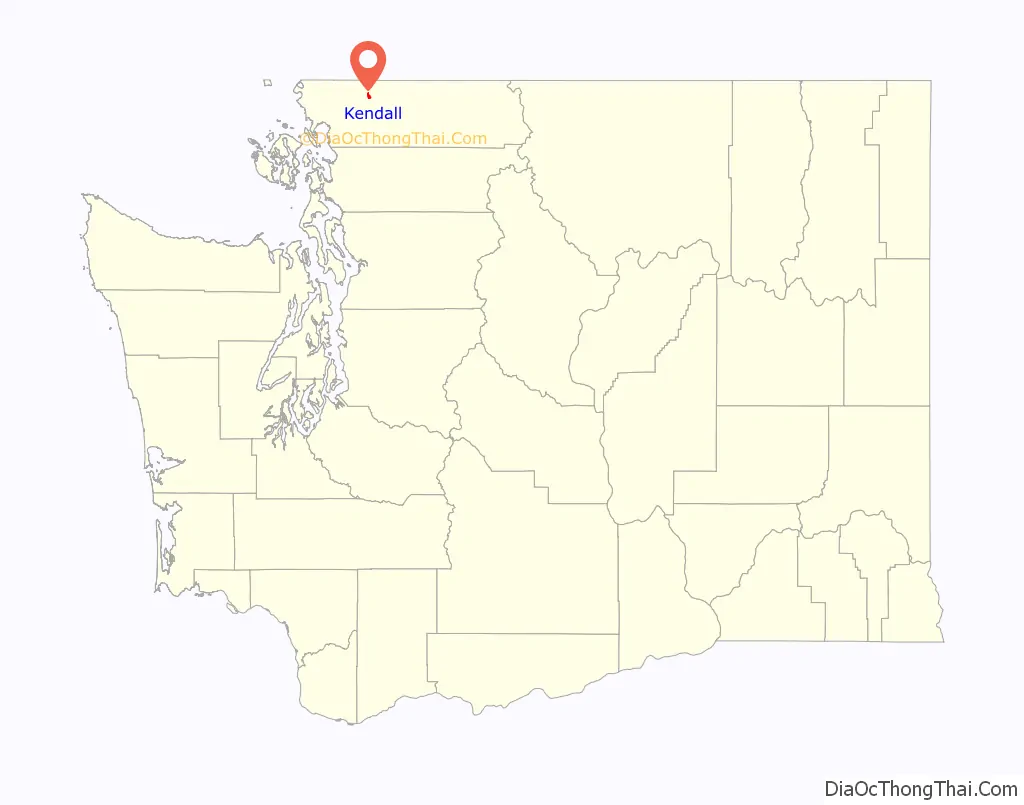
Kendall location map. Where is Kendall CDP?
History
Kendall was founded in 1887 by F.B. Hardmen. It was named for the settler Carthage Kendall. Limestone quarrying featured in the area for at least 75 years. A seam of high-quality stone was in the flank of Sumas Mountain. The limestone was used for riprap, cement, and construction. The Milwaukee Road railroad had a spur from Bellingham to move the blocks. Abandoned tracks crossing the highway near the Pair-o-dice Tavern mark the location of the mine.
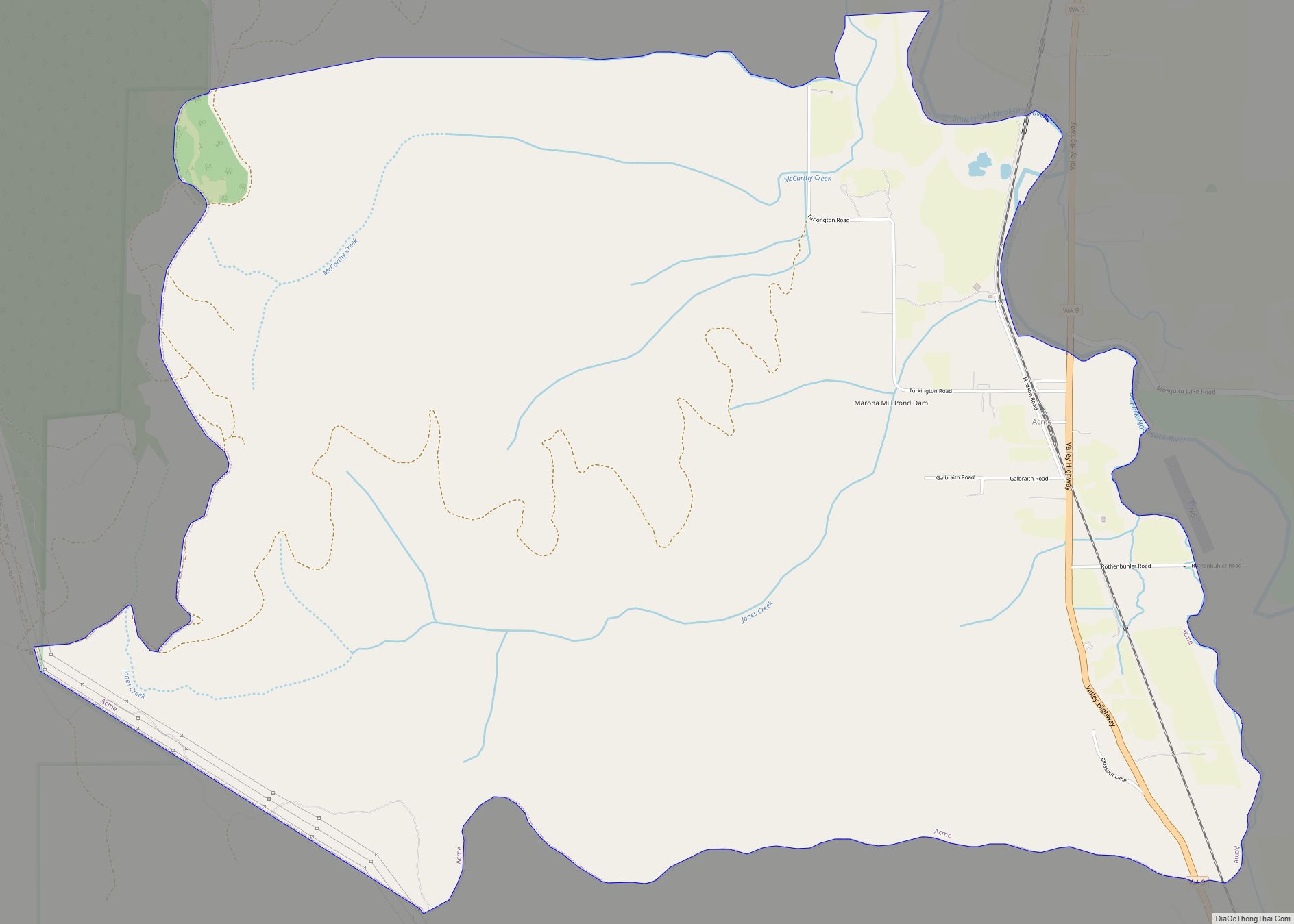
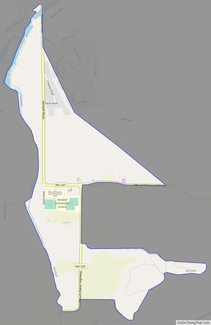
Kendall Road Map
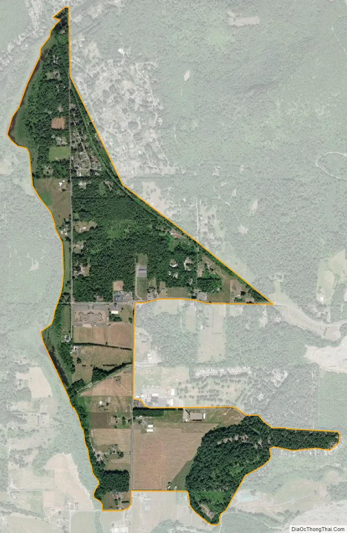
Kendall city Satellite Map
Geography
Kendall is located at 48°55′10″N 122°8′15″W / 48.91944°N 122.13750°W / 48.91944; -122.13750 (48.919393, -122.137511).
According to the United States Census Bureau, the CDP has a total area of 0.9 square miles (2.2 km), of which, 0.8 square miles (2.1 km) of it is land and 0.04 square miles (0.1 km) of it (2.35%) is water.
Kendall is at the junction of Washington State Route 542 (the Mount Baker Highway) and State Route 547, which leads over a low pass on the northeastern flank of Sumas Mountain to connect to the town of Sumas and the border crossing with Abbotsford, British Columbia, Canada. The community of Maple Falls is three miles east along the Mount Baker Highway, which leads to the Mount Baker Ski Area.
See also
Map of Washington State and its subdivision:- Adams
- Asotin
- Benton
- Chelan
- Clallam
- Clark
- Columbia
- Cowlitz
- Douglas
- Ferry
- Franklin
- Garfield
- Grant
- Grays Harbor
- Island
- Jefferson
- King
- Kitsap
- Kittitas
- Klickitat
- Lewis
- Lincoln
- Mason
- Okanogan
- Pacific
- Pend Oreille
- Pierce
- San Juan
- Skagit
- Skamania
- Snohomish
- Spokane
- Stevens
- Thurston
- Wahkiakum
- Walla Walla
- Whatcom
- Whitman
- Yakima
- Alabama
- Alaska
- Arizona
- Arkansas
- California
- Colorado
- Connecticut
- Delaware
- District of Columbia
- Florida
- Georgia
- Hawaii
- Idaho
- Illinois
- Indiana
- Iowa
- Kansas
- Kentucky
- Louisiana
- Maine
- Maryland
- Massachusetts
- Michigan
- Minnesota
- Mississippi
- Missouri
- Montana
- Nebraska
- Nevada
- New Hampshire
- New Jersey
- New Mexico
- New York
- North Carolina
- North Dakota
- Ohio
- Oklahoma
- Oregon
- Pennsylvania
- Rhode Island
- South Carolina
- South Dakota
- Tennessee
- Texas
- Utah
- Vermont
- Virginia
- Washington
- West Virginia
- Wisconsin
- Wyoming