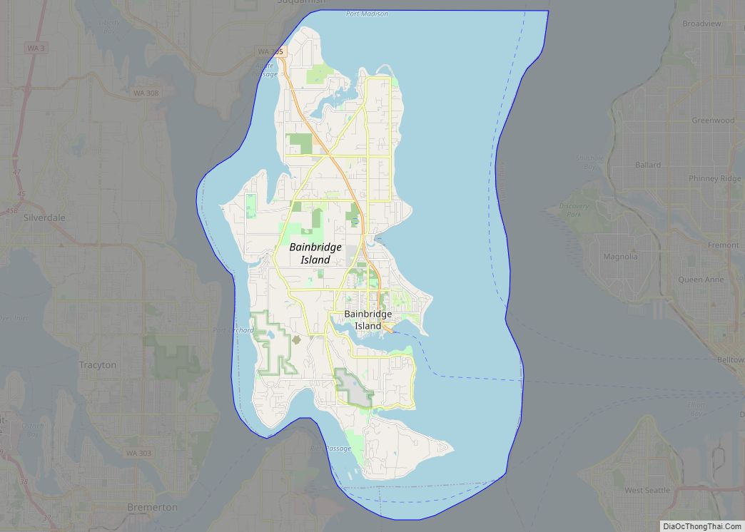
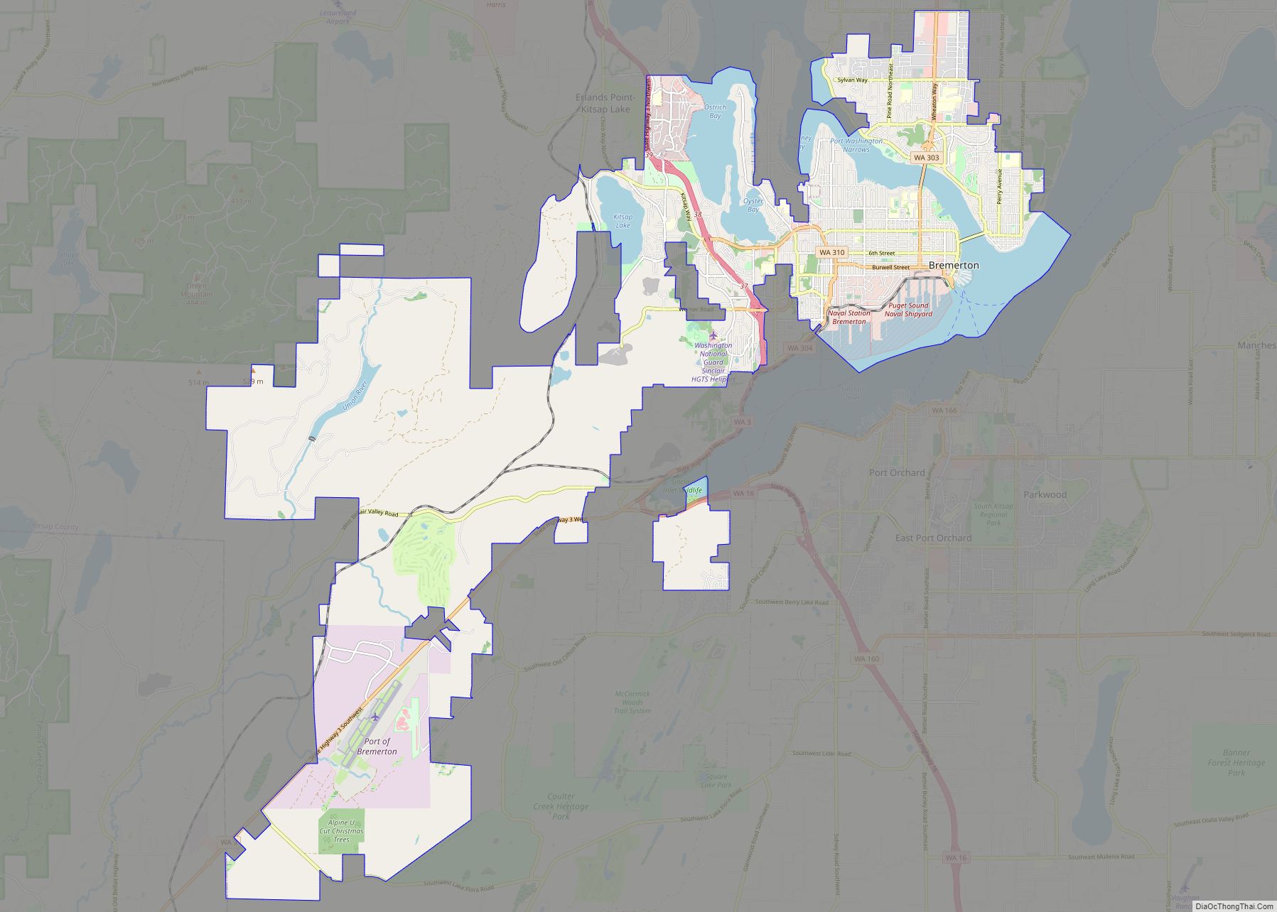
Kingston (formerly Appletree Cove) is an unincorporated community and census-designated place (CDP) in Kitsap County, Washington, United States. The population was 2,099 at the 2010 census. Kingston is along the shores of Appletree Cove and Puget Sound, and is home to a major Washington State Ferry terminal linking it to Edmonds.
| Name: | Kingston CDP |
|---|---|
| LSAD Code: | 57 |
| LSAD Description: | CDP (suffix) |
| State: | Washington |
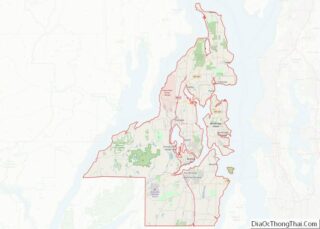
| County: | Kitsap County |
| Elevation: | 69 ft (21 m) |
| Total Area: | 2.08 sq mi (5.39 km²) |
| Land Area: | 1.87 sq mi (4.84 km²) |
| Water Area: | 0.22 sq mi (0.56 km²) |
| Total Population: | 2,099 |
| Population Density: | 1,124/sq mi (433.9/km²) |
| ZIP code: | 98346 |
| Area code: | 360 |
| FIPS code: | 5335870 |
| GNISfeature ID: | 1512350 |
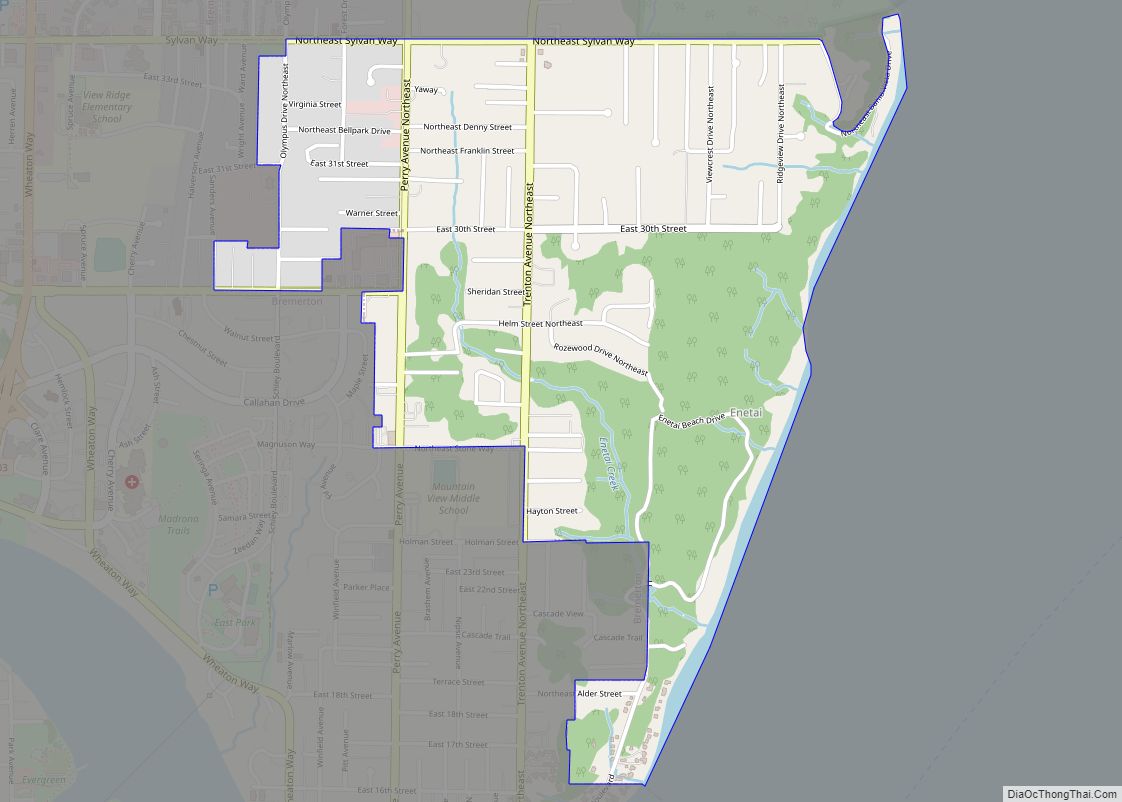
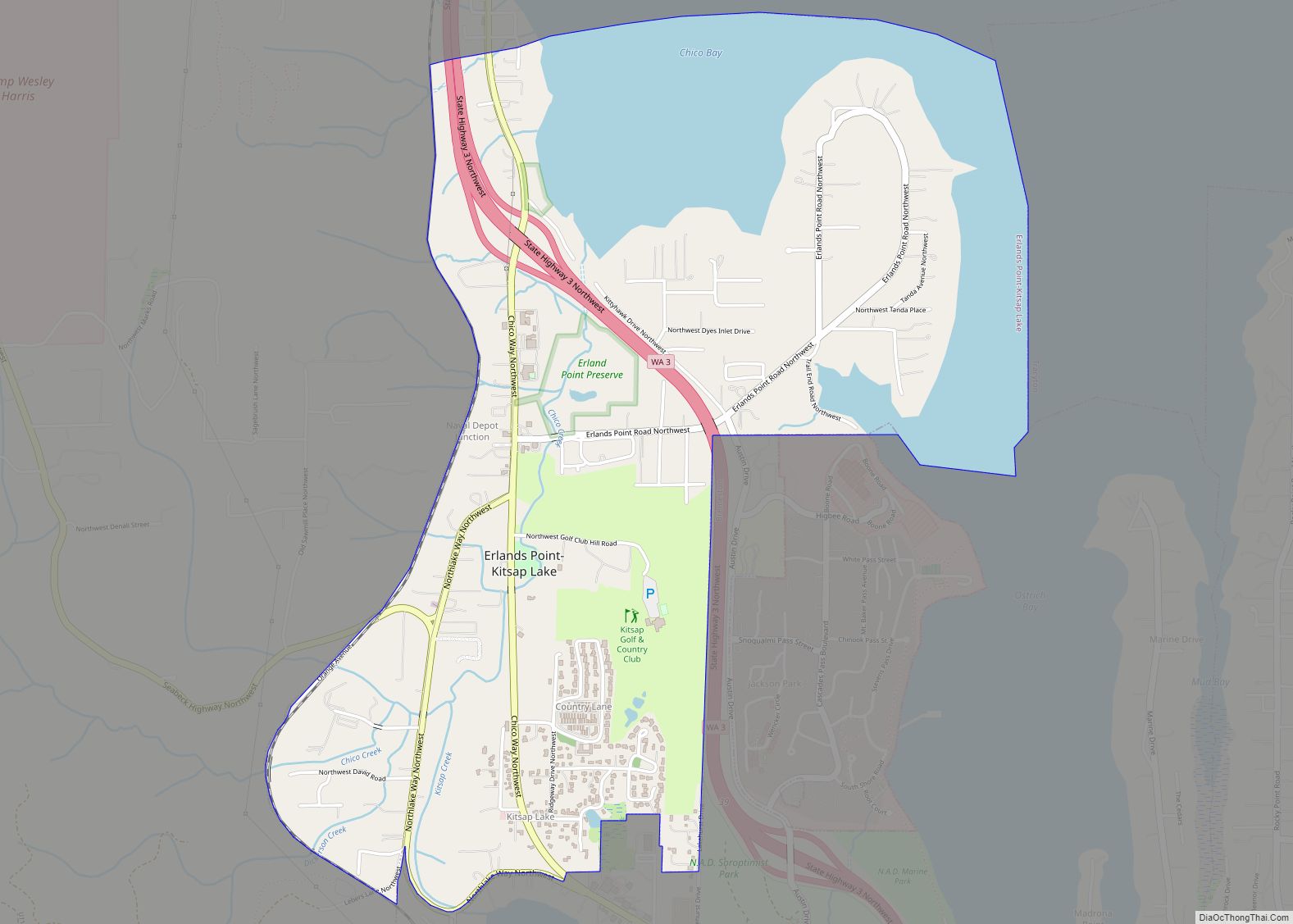
Online Interactive Map
Click on ![]() to view map in "full screen" mode.
to view map in "full screen" mode.
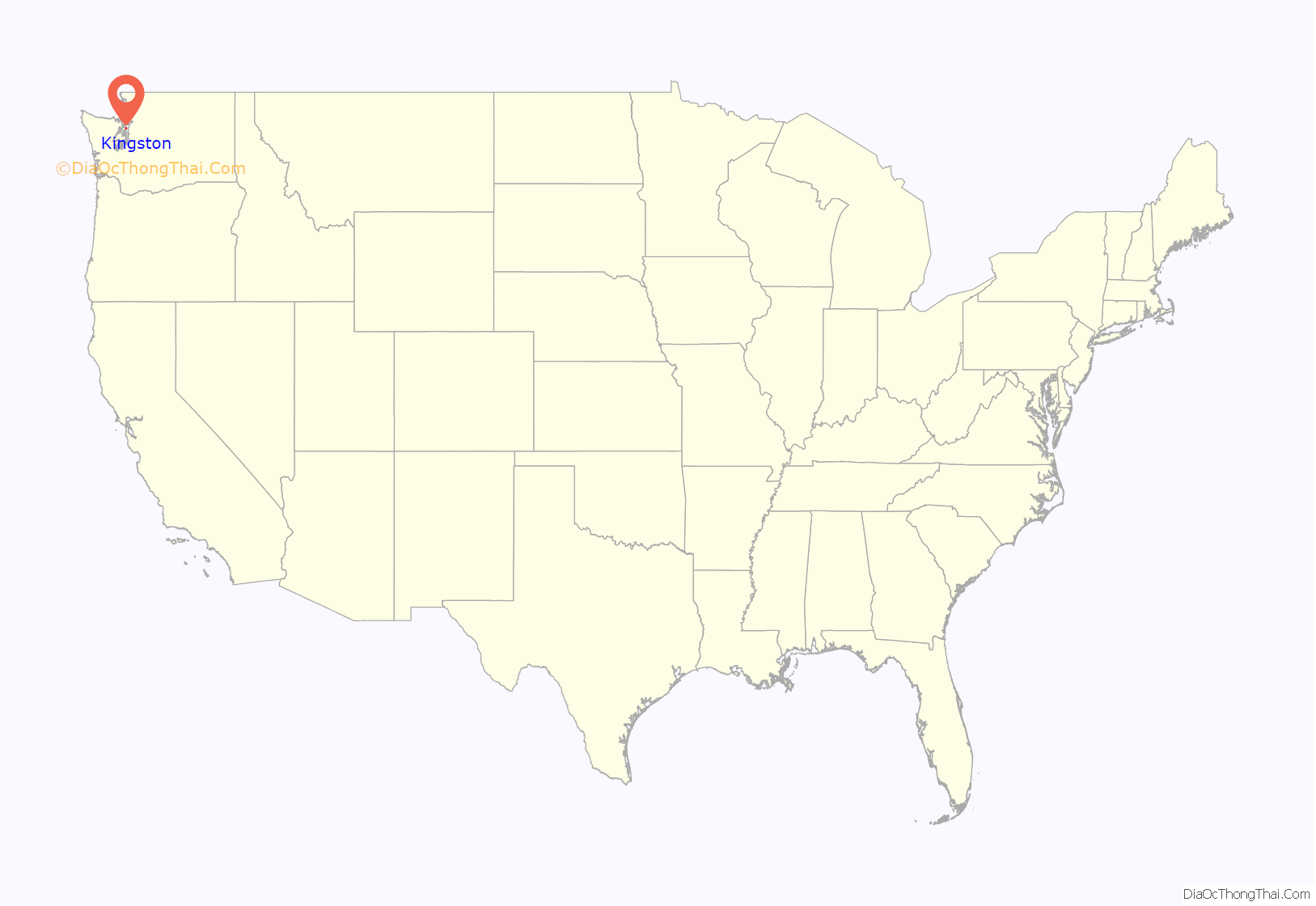
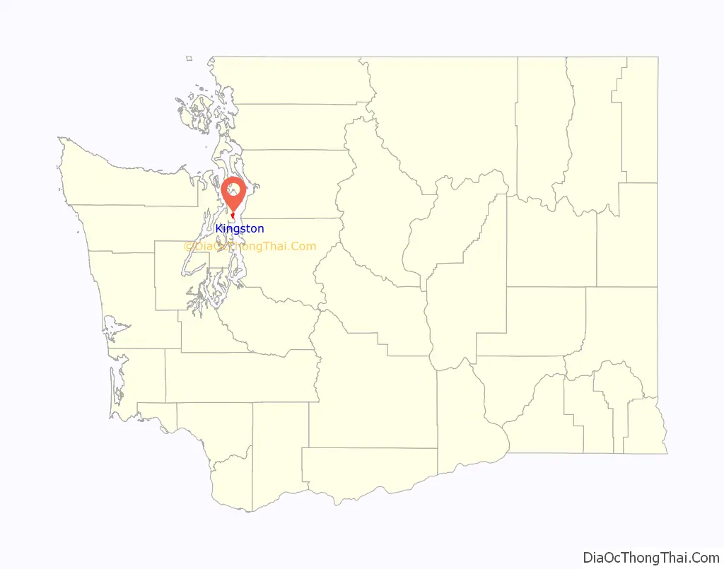
Kingston location map. Where is Kingston CDP?
History
Founded in 1853 by Benjamin Bannister, the community was originally known as “Appletree Cove”. By 1880 it was a lumber town until the mill closed down in the early 20th century. Known as the “little city by the sea”, Kingston is a northern gateway to the Olympic Peninsula and is the social and economic center of the north end of the Kitsap Peninsula.
King’s Town
In 1869, W.S. Ladd and his wife Caroline built a cabin on Appletree Cove. Michael King then bought the cabin nine years later. He moved in along with ten oxen and ten men. They slowly logged the hills around Appletree Cove. King built many small buildings and shacks along the shore for his men and animals. In 1882, he was done and moved on. The shacks and bunkhouses were left behind and lived in by drifters, squatters and old loggers. People living in the area often referred to this as “King’s Town”, probably as a joke. The name slowly evolved into Kingston and stuck.
Resort town
The Kingston townsite was platted on April 24, 1890, by C.C. Calkins and Samuel B. Brierly. Calkins dreamed of Kingston as a resort town for vacationers from Seattle. Calkins called it “the Monterey of Washington”. Calkins had drawings and designs for a giant hotel on the waterfront, with a boat launch, a church on the hill, and a college. After Calkins and Brierly platted the town, a lower than expected number of people showed up to settle there. Calkins then gave up and left. The town slowly grew, but not at the pace that Calkins had dreamed.
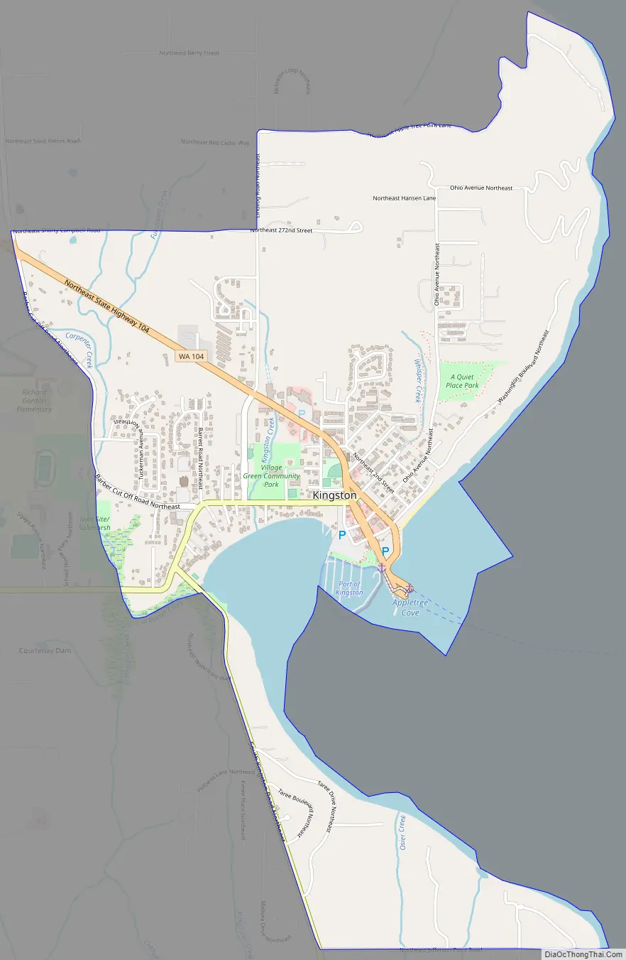
Kingston Road Map
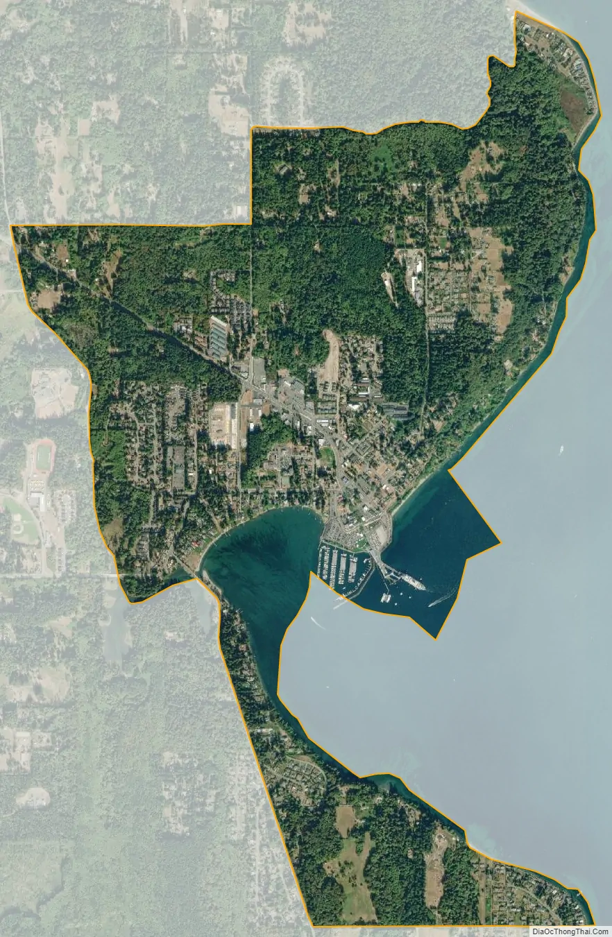
Kingston city Satellite Map
Geography
Kingston is located in northeastern Kitsap County at 47°47′56″N 122°29′57″W / 47.79889°N 122.49917°W / 47.79889; -122.49917 (47.798764, −122.499071), on the east side of the Kitsap Peninsula. Washington State Route 104 runs through the community from the Washington State Ferry terminal, leading northwest 7 miles (11 km) to Port Gamble. Bremerton is 26 miles (42 km) to the southwest by highway.
According to the United States Census Bureau, the Kingston CDP has a total area of 2.1 square miles (5.4 km), of which 1.9 square miles (4.8 km) are land and 0.2 square miles (0.6 km), or 10.31%, are water.
See also
Map of Washington State and its subdivision:- Adams
- Asotin
- Benton
- Chelan
- Clallam
- Clark
- Columbia
- Cowlitz
- Douglas
- Ferry
- Franklin
- Garfield
- Grant
- Grays Harbor
- Island
- Jefferson
- King
- Kitsap
- Kittitas
- Klickitat
- Lewis
- Lincoln
- Mason
- Okanogan
- Pacific
- Pend Oreille
- Pierce
- San Juan
- Skagit
- Skamania
- Snohomish
- Spokane
- Stevens
- Thurston
- Wahkiakum
- Walla Walla
- Whatcom
- Whitman
- Yakima
- Alabama
- Alaska
- Arizona
- Arkansas
- California
- Colorado
- Connecticut
- Delaware
- District of Columbia
- Florida
- Georgia
- Hawaii
- Idaho
- Illinois
- Indiana
- Iowa
- Kansas
- Kentucky
- Louisiana
- Maine
- Maryland
- Massachusetts
- Michigan
- Minnesota
- Mississippi
- Missouri
- Montana
- Nebraska
- Nevada
- New Hampshire
- New Jersey
- New Mexico
- New York
- North Carolina
- North Dakota
- Ohio
- Oklahoma
- Oregon
- Pennsylvania
- Rhode Island
- South Carolina
- South Dakota
- Tennessee
- Texas
- Utah
- Vermont
- Virginia
- Washington
- West Virginia
- Wisconsin
- Wyoming