La Center is a city in Clark County, Washington, United States. The population was 3,424 at the 2020 census.
| Name: | La Center city |
|---|---|
| LSAD Code: | 25 |
| LSAD Description: | city (suffix) |
| State: | Washington |
| County: | Clark County |
| Founded: | 1871 |
| Incorporated: | August 27, 1909 |
| Elevation: | 105 ft (32 m) |
| Total Area: | 2.623 sq mi (6.794 km²) |
| Land Area: | 2.599 sq mi (6.731 km²) |
| Water Area: | 0.024 sq mi (0.062 km²) |
| Total Population: | 3,424 |
| Population Density: | 1,313.78/sq mi (507.27/km²) |
| ZIP code: | 98629 |
| Area code: | 360 |
| FIPS code: | 5336710 |
| GNISfeature ID: | 1512361 |
| Website: | ci.lacenter.wa.us |
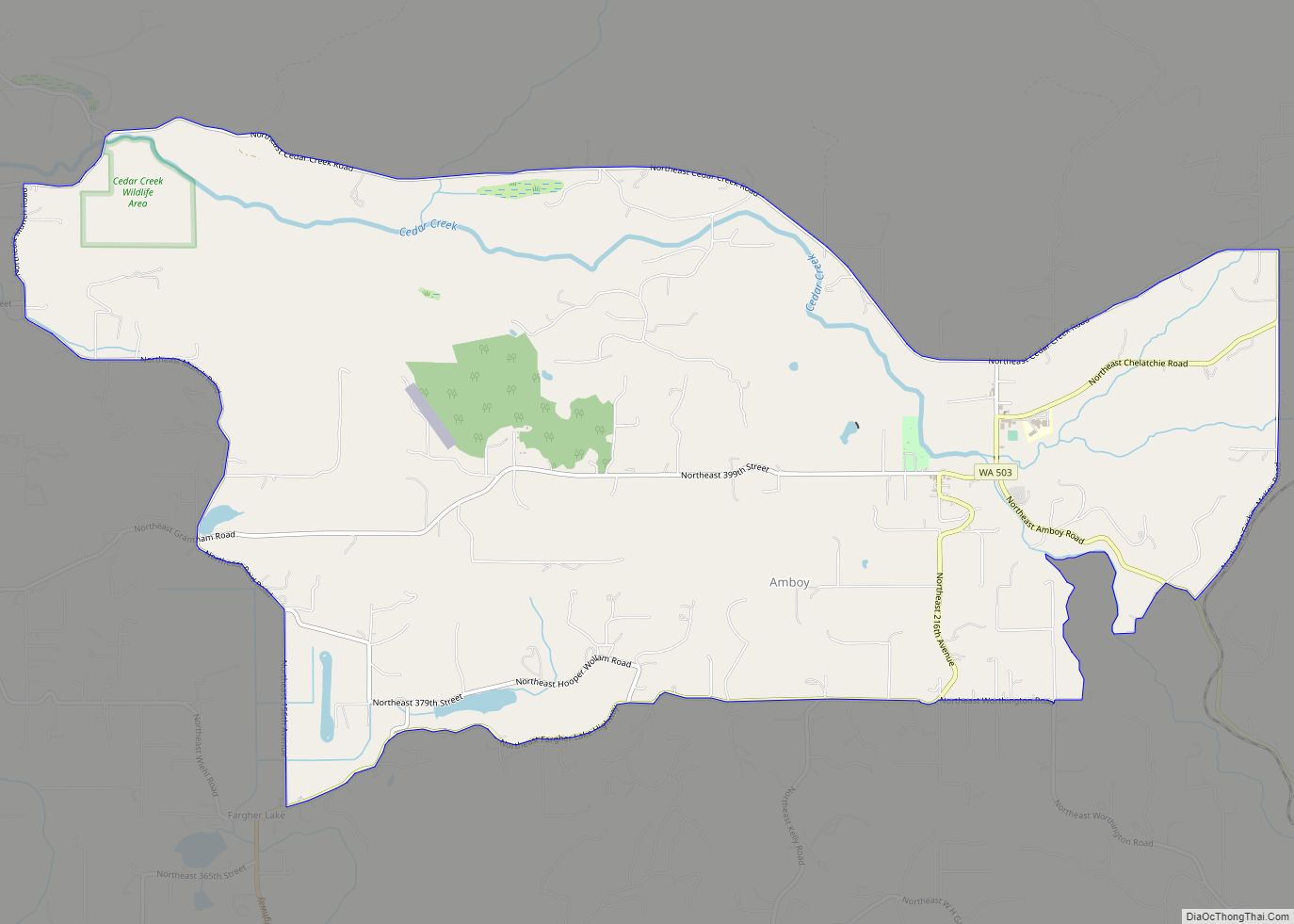
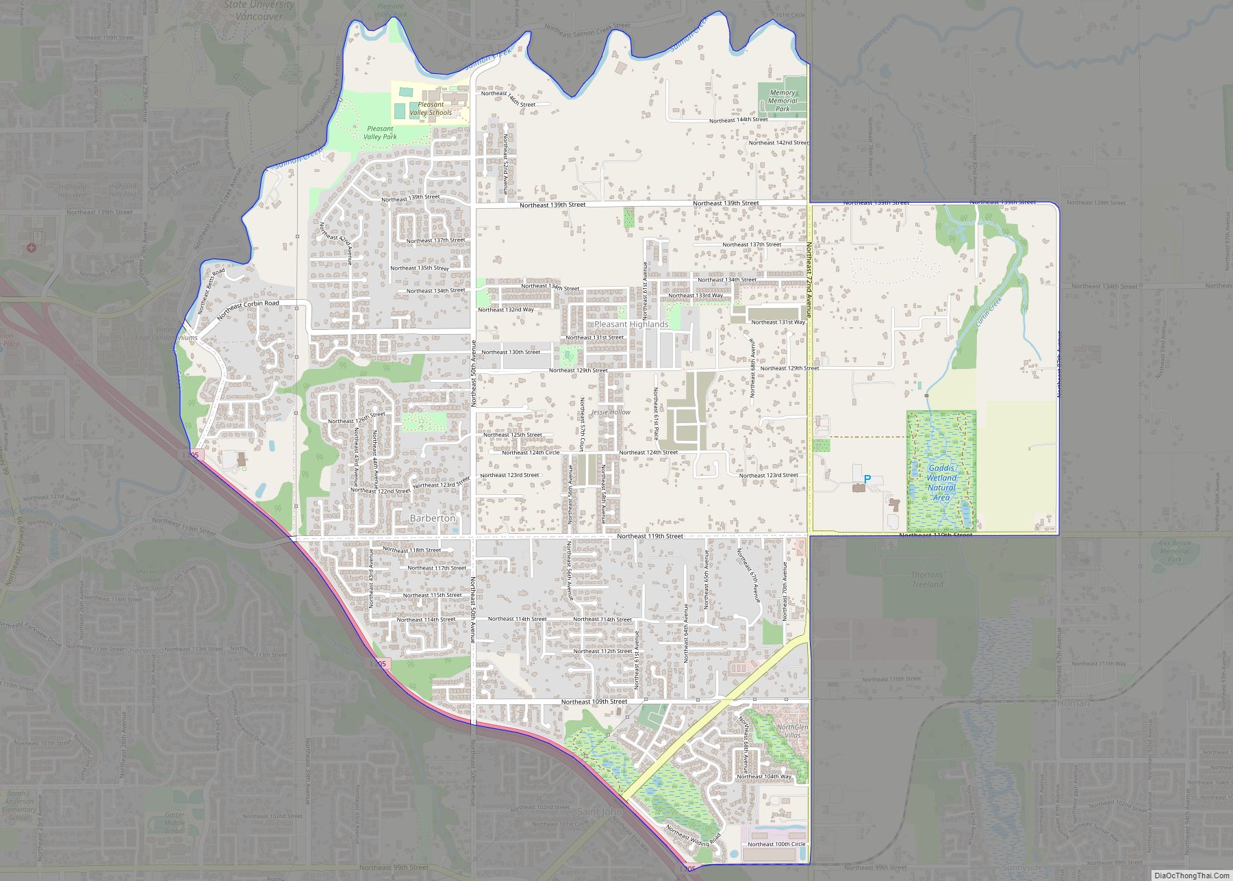
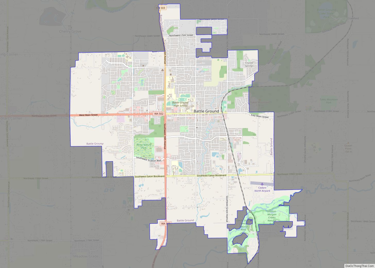
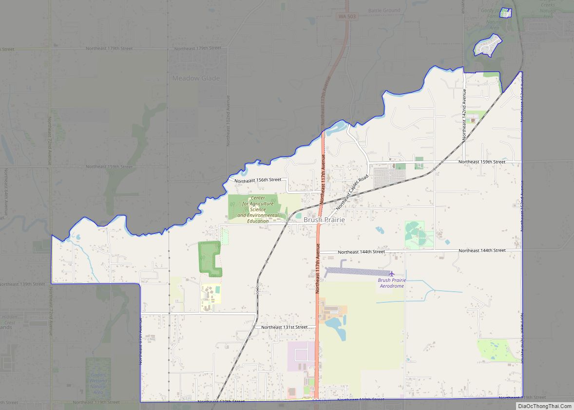
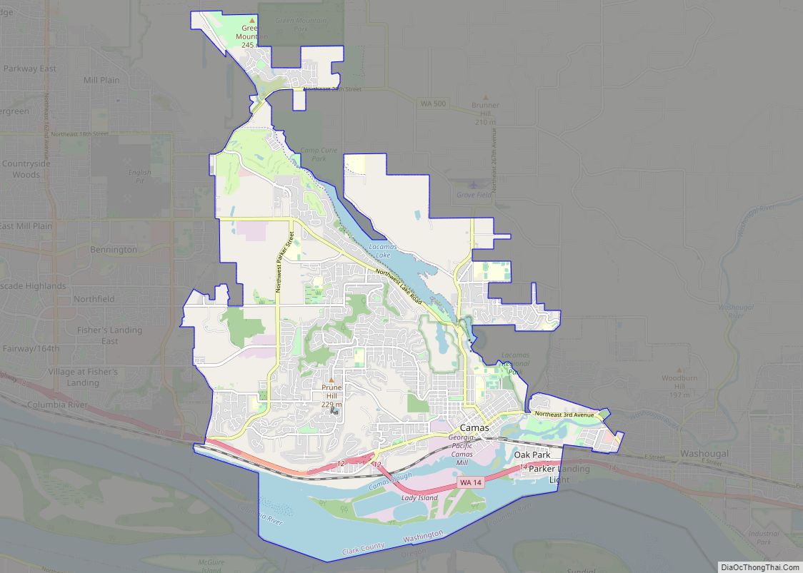
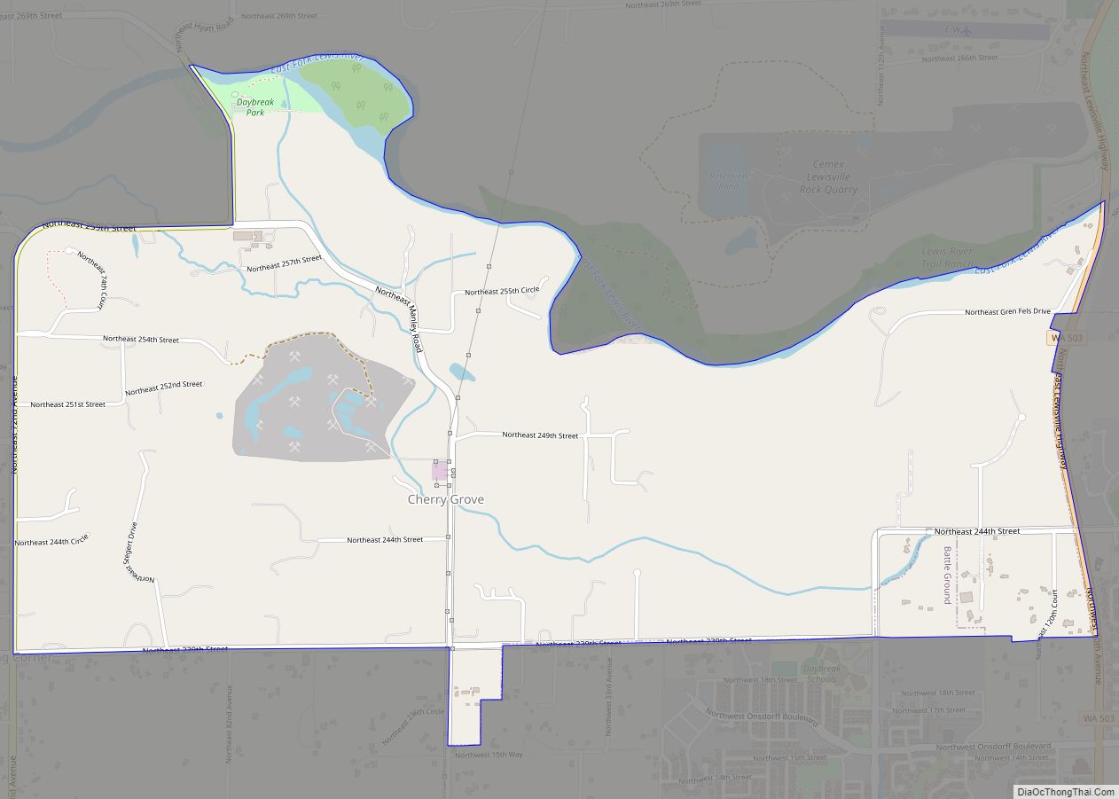
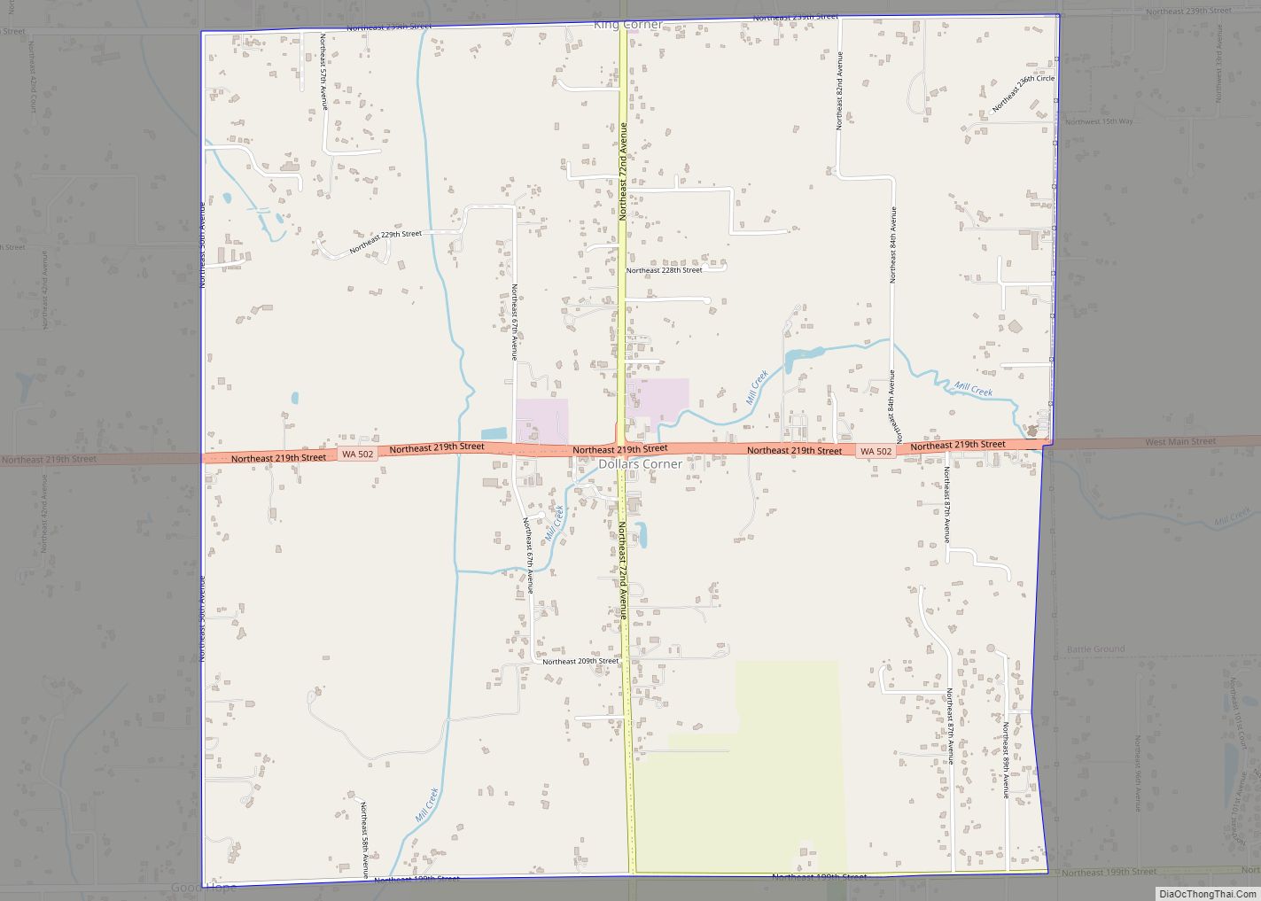
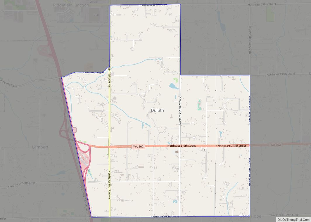
Online Interactive Map
Click on ![]() to view map in "full screen" mode.
to view map in "full screen" mode.
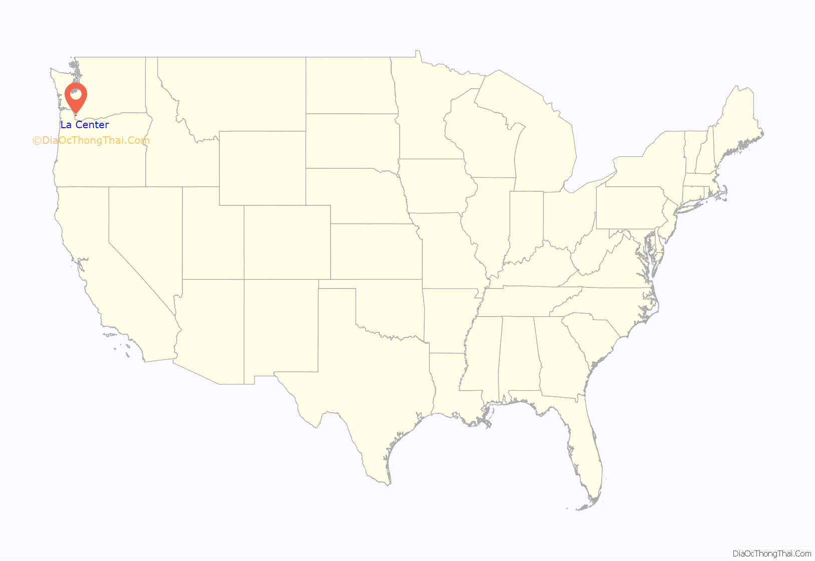
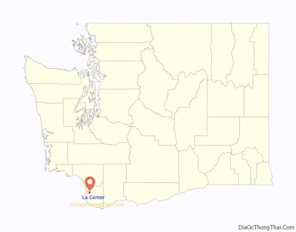
La Center location map. Where is La Center city?
History
In the 1870s, La Center was a business center and head of navigation on the East Fork of the Lewis River. In late summer, the regular schedules of the steamers Mascot and Walker, paddle-wheeling to Portland, were often interrupted by low water. Passengers and freight were transferred to scows, which were poled up the river or towed by horses along the bank. With the arrival of railroads and highways, La Center lost importance and lapsed into a small village serving the surrounding farming district. La Center was officially incorporated on August 27, 1909. Its population in 1940 was 193.
The city is home to two card rooms or casinos which allow gambling on card games and poker, but not slots. The two casinos are the Last Frontier and Palace.
La Center Road Map
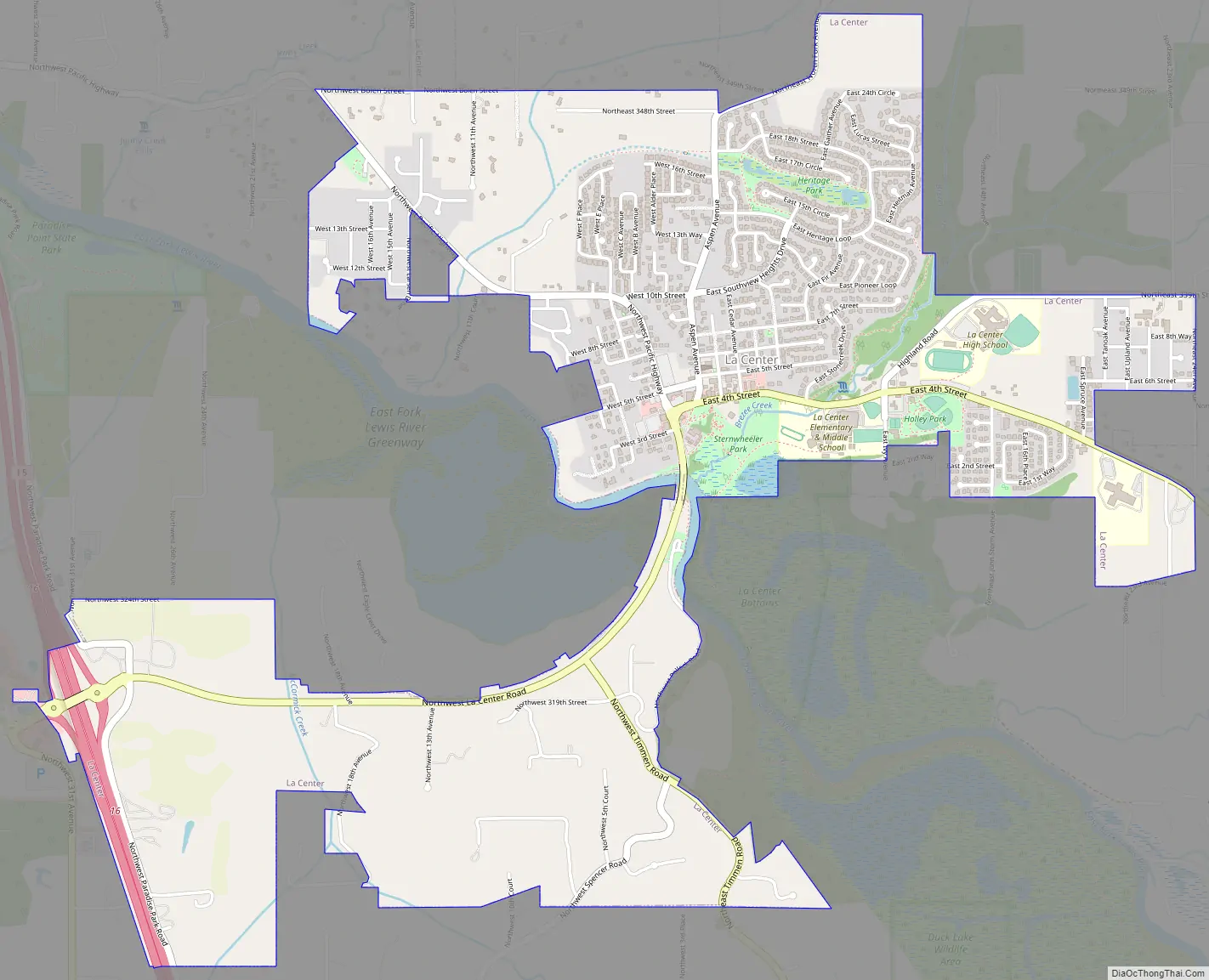
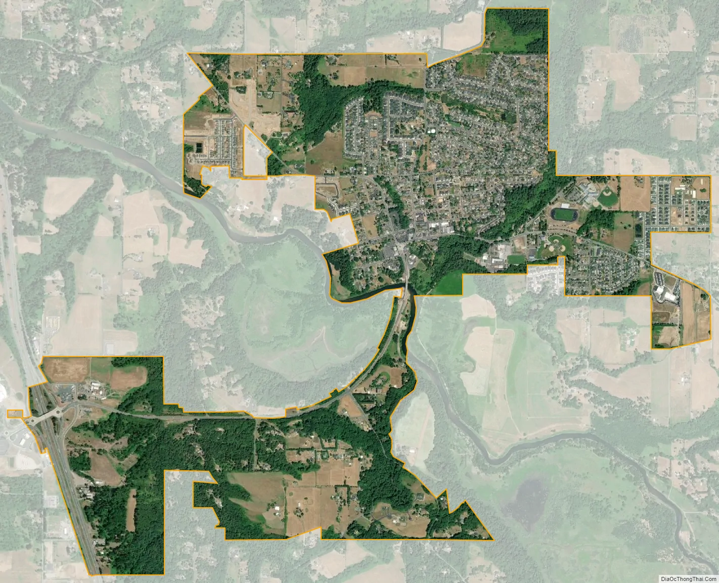
La Center city Satellite Map
Geography
La Center is located at 45°51′50″N 122°40′7″W / 45.86389°N 122.66861°W / 45.86389; -122.66861 (45.863874, -122.668572). According to the United States Census Bureau, the city has a total area of 1.28 square miles (3.32 km), of which, 1.27 square miles (3.29 km) is land and 0.01 square miles (0.03 km) is water.
See also
Map of Washington State and its subdivision:- Adams
- Asotin
- Benton
- Chelan
- Clallam
- Clark
- Columbia
- Cowlitz
- Douglas
- Ferry
- Franklin
- Garfield
- Grant
- Grays Harbor
- Island
- Jefferson
- King
- Kitsap
- Kittitas
- Klickitat
- Lewis
- Lincoln
- Mason
- Okanogan
- Pacific
- Pend Oreille
- Pierce
- San Juan
- Skagit
- Skamania
- Snohomish
- Spokane
- Stevens
- Thurston
- Wahkiakum
- Walla Walla
- Whatcom
- Whitman
- Yakima
- Alabama
- Alaska
- Arizona
- Arkansas
- California
- Colorado
- Connecticut
- Delaware
- District of Columbia
- Florida
- Georgia
- Hawaii
- Idaho
- Illinois
- Indiana
- Iowa
- Kansas
- Kentucky
- Louisiana
- Maine
- Maryland
- Massachusetts
- Michigan
- Minnesota
- Mississippi
- Missouri
- Montana
- Nebraska
- Nevada
- New Hampshire
- New Jersey
- New Mexico
- New York
- North Carolina
- North Dakota
- Ohio
- Oklahoma
- Oregon
- Pennsylvania
- Rhode Island
- South Carolina
- South Dakota
- Tennessee
- Texas
- Utah
- Vermont
- Virginia
- Washington
- West Virginia
- Wisconsin
- Wyoming