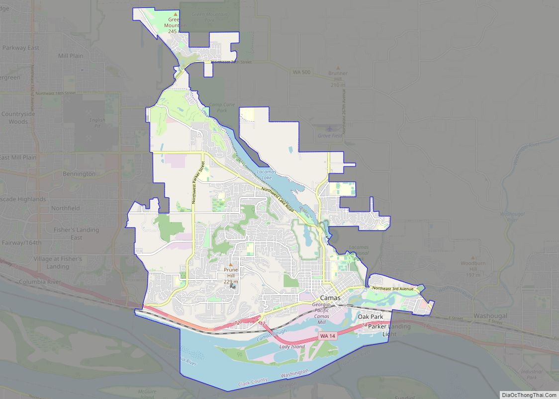
Camas /ˈkæməs/ is a city in Clark County, Washington, with a population of 26,065 at the 2020 census. The east side of town borders the city of Washougal, Washington, and the west side of town borders Vancouver, Washington. Camas lies along the Washington side of the Columbia River, across from Troutdale, Oregon, and is part of the Portland metropolitan area.
One of the major geographical features of the city is Prune Hill. Prune Hill is an extinct volcanic vent and is part of the Boring Lava Field of northwest Oregon and southwest Washington.
| Name: | Camas city |
|---|---|
| LSAD Code: | 25 |
| LSAD Description: | city (suffix) |
| State: | Washington |
| County: | Clark County |
| Elevation: | 75 ft (23 m) |
| Total Area: | 16.24 sq mi (42.06 km²) |
| Land Area: | 14.07 sq mi (36.45 km²) |
| Water Area: | 2.17 sq mi (5.61 km²) |
| Total Population: | 26,065 |
| Population Density: | 1,734.85/sq mi (669.84/km²) |
| ZIP code: | 98607 |
| Area code: | 360, 564 |
| FIPS code: | 5309480 |
| GNISfeature ID: | 1512059 |
| Website: | cityofcamas.us |
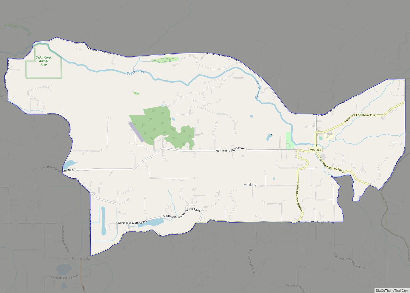
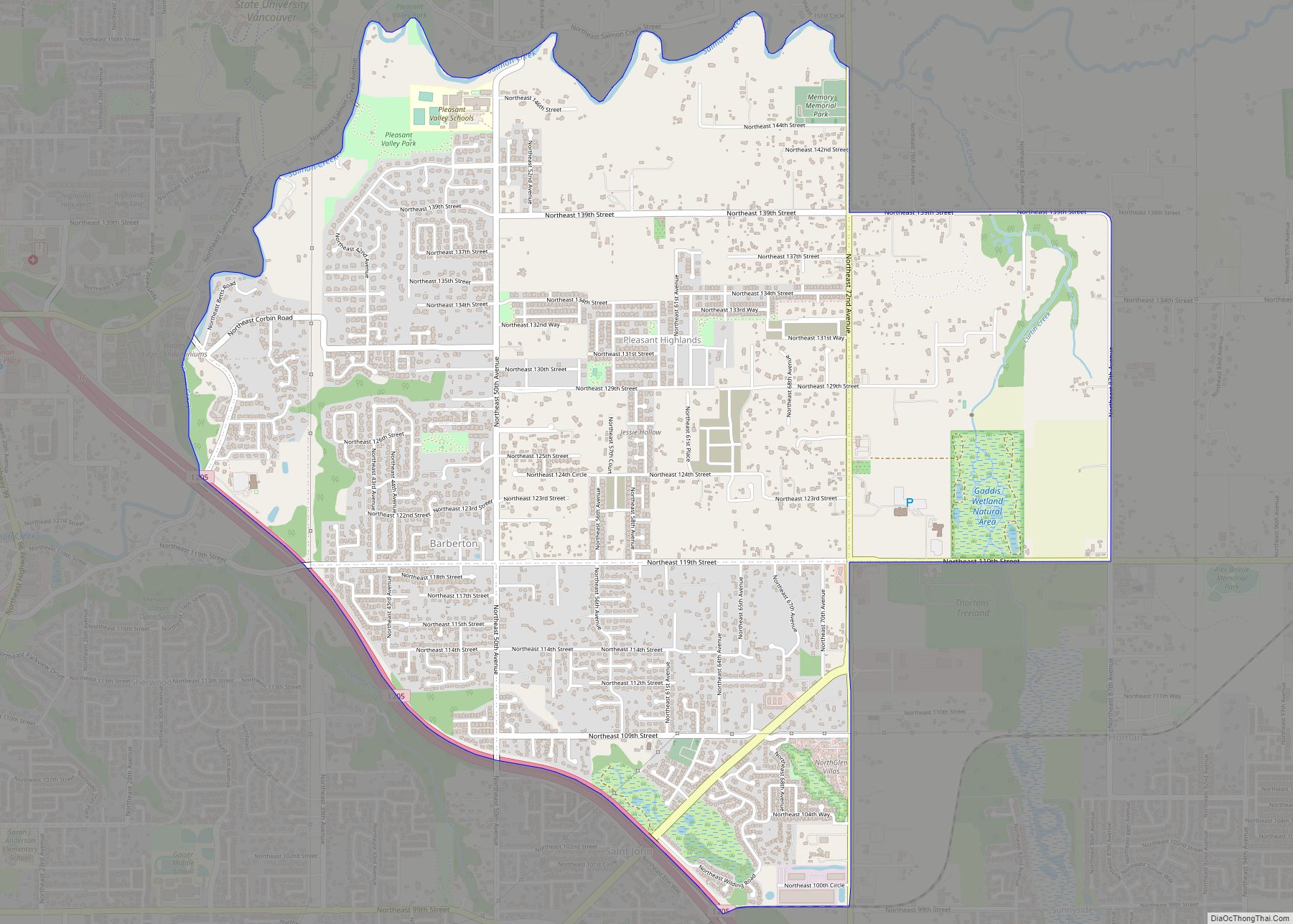
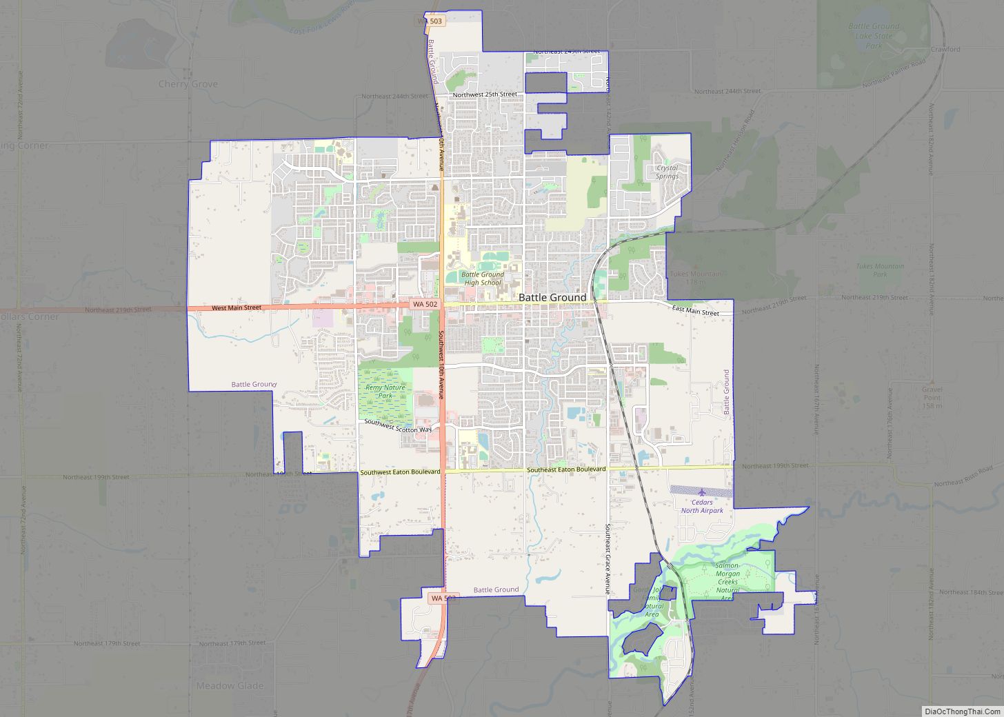
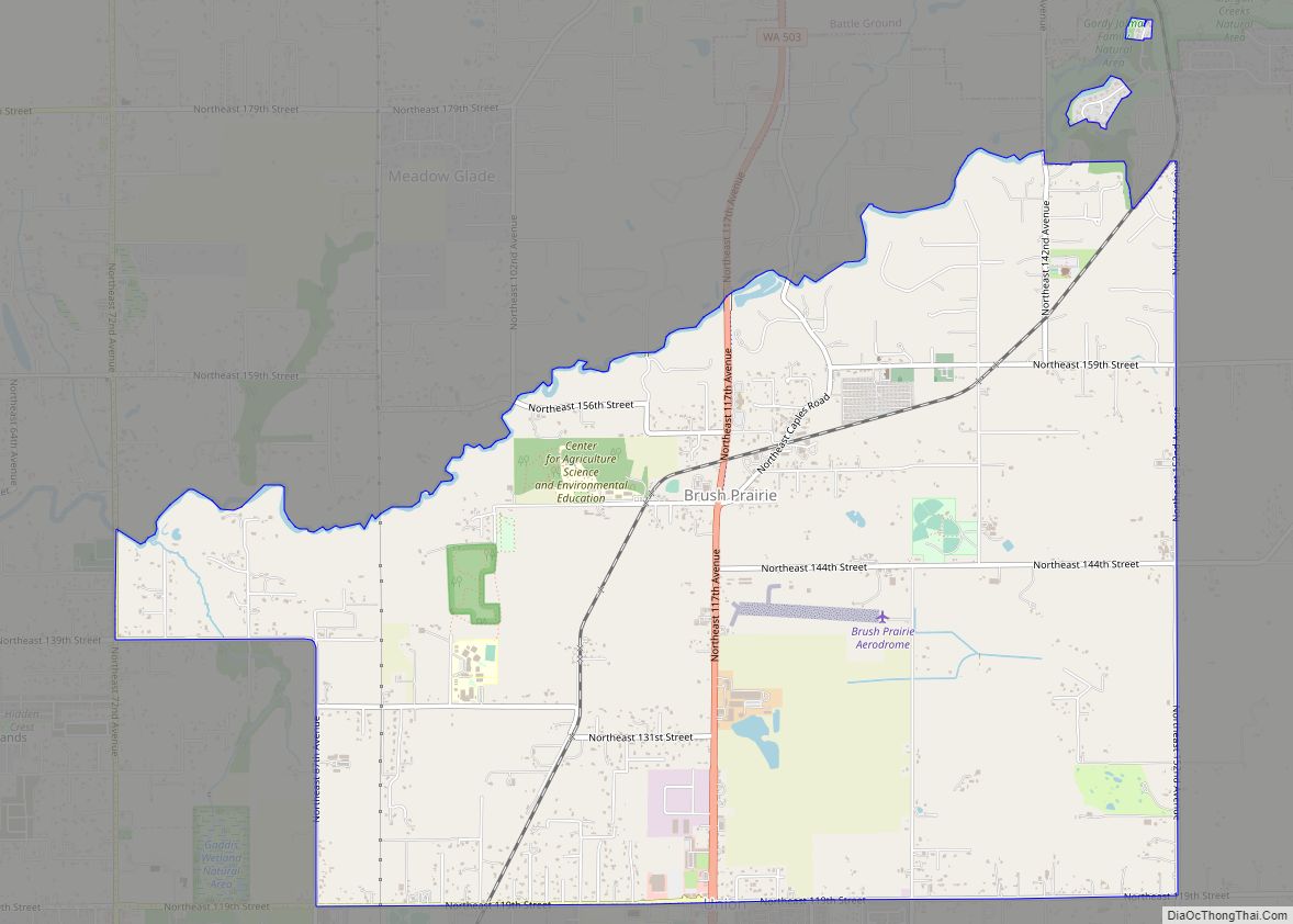
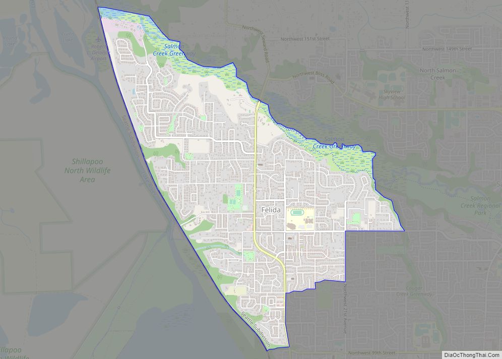
Online Interactive Map
Click on ![]() to view map in "full screen" mode.
to view map in "full screen" mode.
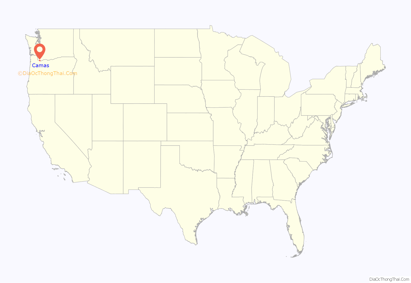
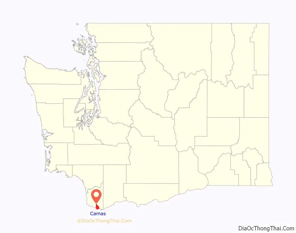
Camas location map. Where is Camas city?
History
Officially incorporated on June 18, 1906, the city is named after the camas lily, a plant with an onion-like bulb prized by Native Americans. At the west end of downtown Camas is the large Georgia-Pacific paper mill from which the high school teams get their name, “the Papermakers”. A paper mill was first established in the city in 1883 with the support of Henry Pittock, a wealthy entrepreneur from England who had settled in Portland, Oregon, where he published The Oregonian.
Pittock’s LaCamas Colony bought 2,600 acres in 1883, forming the Columbia River Paper Company the following year to begin production in 1885, before merging with Oregon City‘s Crown Paper Company to form Crown Columbia Paper in 1905. After converting from steam to electricity in 1913, Crown merged with Willamette Paper in 1914 and then with Zellerbach Paper in 1928. Crown Zellerbach became the largest paper manufacturer on the west coast. During World War II, the Camas mill temporarily manufactured parts and components for US Naval vessels produced at the nearby Kaiser Shipyards. In 1950, the Camas mill was the first factory to produce folded paper napkins. “Crown Z” was the area’s biggest employer in 1971, with 2,643 of approximately 3,700 Clark County paper mill workers. In 1986, Crown Zellerbach was absorbed by James River Corporation; after further mergers with the Fort Howard Paper Company in 1997 and Georgia-Pacific in 2000, Koch Industries acquired Georgia-Pacific and the Camas mill in 2005. In 2018, Koch announced plans to lay off approximately 200–300 workers, shutting down all equipment related to communications paper, fine paper conversion and pulping operations.
By 1971, there had been four attempts to merge Camas and Washougal that were denied by voters.
Camas is approximately 20 miles (32 km) northeast of Portland, Oregon. Historically, the commercial base of the city was almost entirely the paper mill; In recent years, however, the diversity of industries in and near Camas has been enhanced considerably by the influx of several high-tech, white-collar companies. These include Hewlett-Packard, Linear Technology, WaferTech and Underwriters Laboratories. Annual events include the summer “Camas Days”, as well as other festivals and celebrations.
Camas Road Map
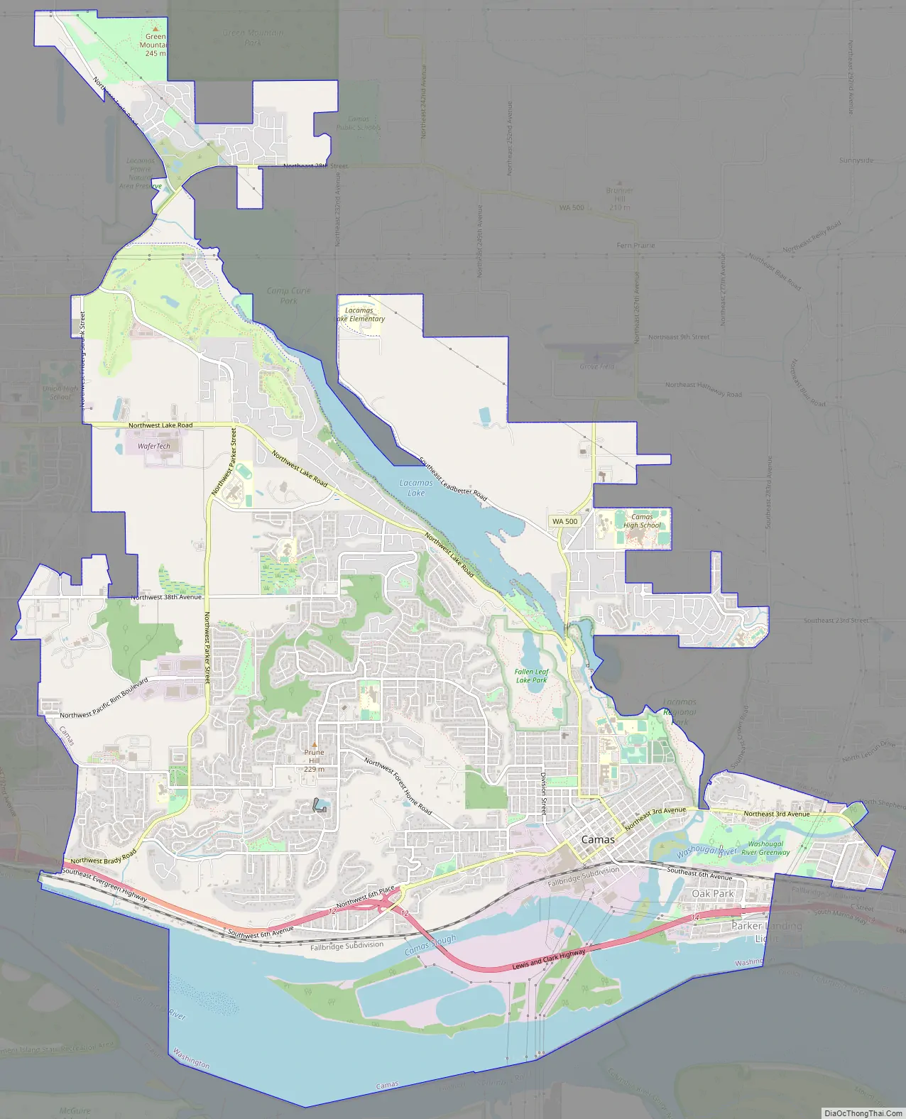
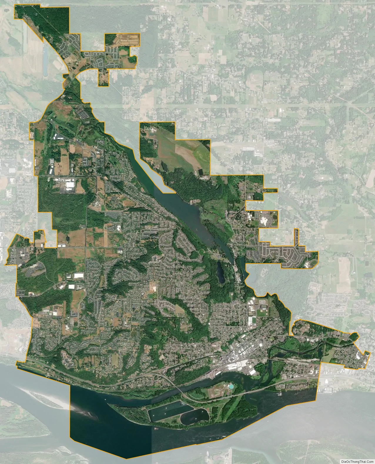
Camas city Satellite Map
Geography
According to the United States Census Bureau, the city has a total area of 15.25 square miles (39.50 km) of which 13.49 square miles (34.94 km) is land and 1.76 square miles (4.56 km) is water.
There are numerous bodies of water within the city limits, including Lacamas Lake, Lacamas Creek, Round Lake, Fallen Leaf Lake, Tug Lake, the Washougal River, and the Columbia River.
Public parks
There are numerous parks in Camas and within the Camas area, including:
- Crown Park
- Dorothy Fox Park
- Fallen Leaf Park
- Forest Home Park
- Goot Park
- Grass Valley Park
- Louis Bloch Park
- Oak Park
- Prune Hill Sports Park
- Skate Park
- Lacamas Heritage Trail Park
Lacamas Park encompasses Round Lake and runs against SR 500 on its west side. Across SR 500 is Lacamas Lake. The park is open year-round and includes barbecues, a playground, trails around the park and lake, and access to the Camas Potholes. The park includes trails which lead to the Camas Potholes and the Camas lily fields, as well as a 1.2-mile (1.9 km) loop around Round Lake. Water activities in Round Lake are also common around summer time. Bathrooms are available on a seasonal basis only.
Heritage Park has facilities for launching boats into Lacamas Lake, a playground, much open field, and trails through the trees. The parking lot is large and includes numerous long parking stalls to accommodate vehicles with trailers.
See also
Map of Washington State and its subdivision:- Adams
- Asotin
- Benton
- Chelan
- Clallam
- Clark
- Columbia
- Cowlitz
- Douglas
- Ferry
- Franklin
- Garfield
- Grant
- Grays Harbor
- Island
- Jefferson
- King
- Kitsap
- Kittitas
- Klickitat
- Lewis
- Lincoln
- Mason
- Okanogan
- Pacific
- Pend Oreille
- Pierce
- San Juan
- Skagit
- Skamania
- Snohomish
- Spokane
- Stevens
- Thurston
- Wahkiakum
- Walla Walla
- Whatcom
- Whitman
- Yakima
- Alabama
- Alaska
- Arizona
- Arkansas
- California
- Colorado
- Connecticut
- Delaware
- District of Columbia
- Florida
- Georgia
- Hawaii
- Idaho
- Illinois
- Indiana
- Iowa
- Kansas
- Kentucky
- Louisiana
- Maine
- Maryland
- Massachusetts
- Michigan
- Minnesota
- Mississippi
- Missouri
- Montana
- Nebraska
- Nevada
- New Hampshire
- New Jersey
- New Mexico
- New York
- North Carolina
- North Dakota
- Ohio
- Oklahoma
- Oregon
- Pennsylvania
- Rhode Island
- South Carolina
- South Dakota
- Tennessee
- Texas
- Utah
- Vermont
- Virginia
- Washington
- West Virginia
- Wisconsin
- Wyoming