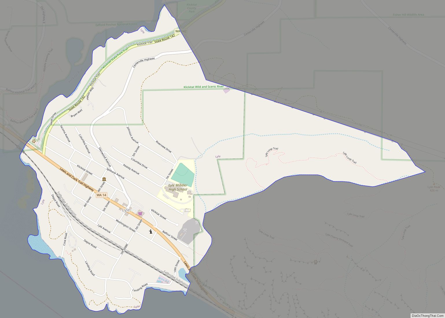
Lyle is an unincorporated community and census-designated place (CDP) in Klickitat County, Washington, United States. The population was 499 at the 2010 census.
| Name: | Lyle CDP |
|---|---|
| LSAD Code: | 57 |
| LSAD Description: | CDP (suffix) |
| State: | Washington |
| County: | Klickitat County |
| Elevation: | 203 ft (62 m) |
| Total Area: | 0.71 sq mi (1.83 km²) |
| Land Area: | 0.71 sq mi (1.83 km²) |
| Water Area: | 0.0 sq mi (0.0 km²) |
| Total Population: | 499 |
| Population Density: | 707/sq mi (272.8/km²) |
| ZIP code: | 98635 |
| Area code: | 509 |
| FIPS code: | 5340735 |
| GNISfeature ID: | 1512412 |
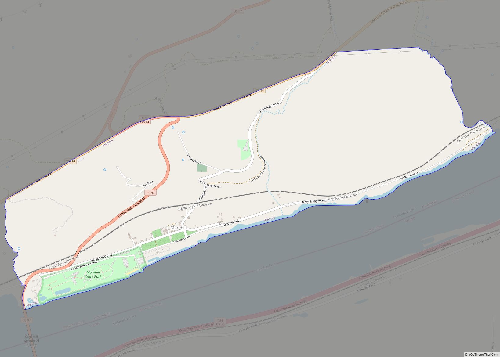
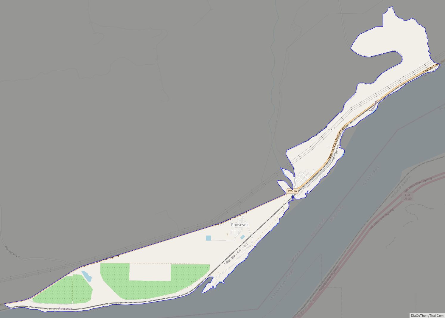
Online Interactive Map
Click on ![]() to view map in "full screen" mode.
to view map in "full screen" mode.
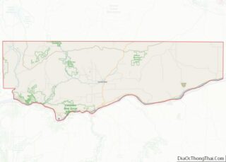
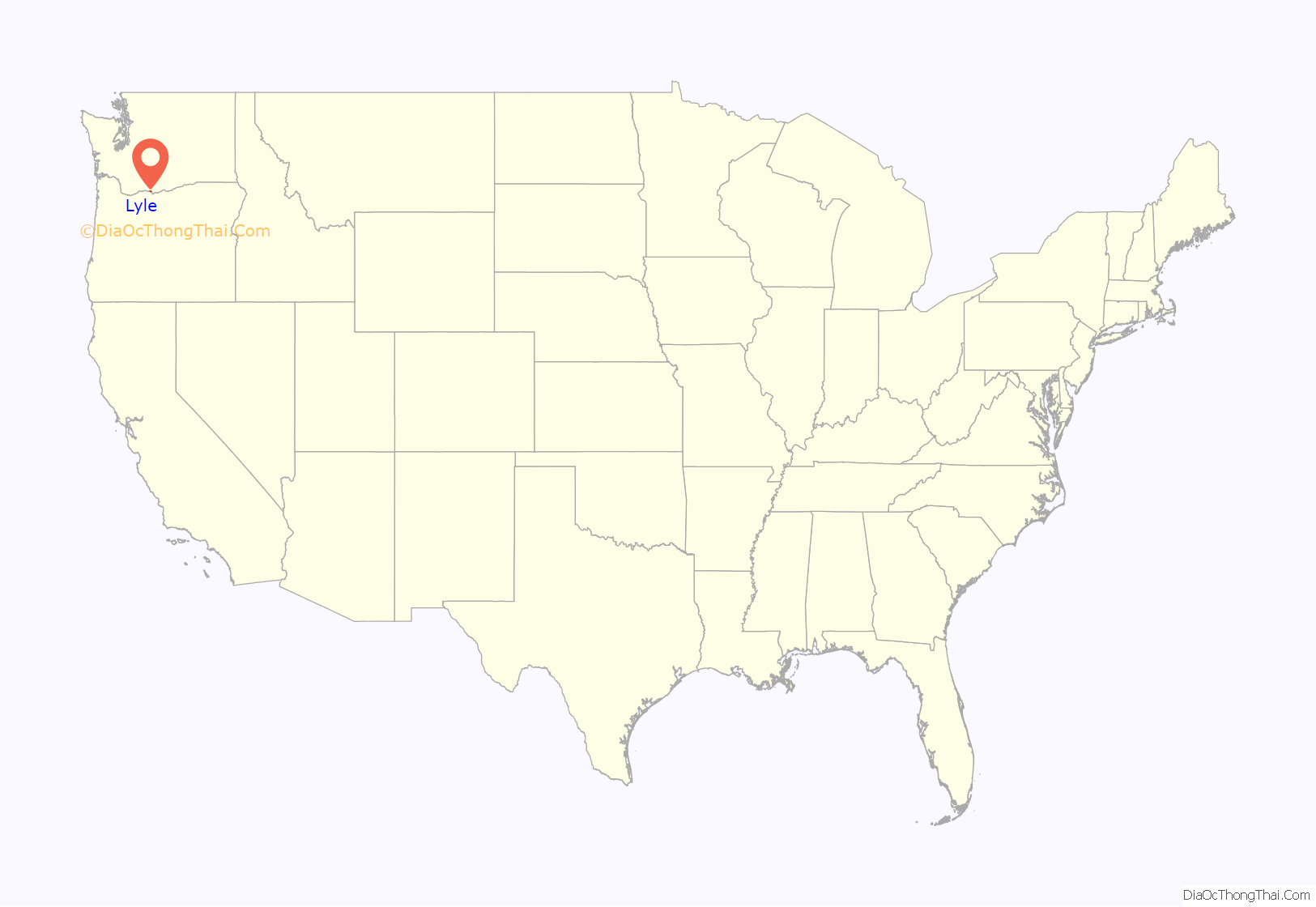
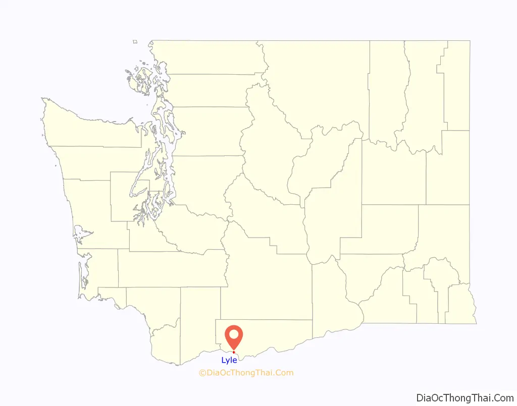
Lyle location map. Where is Lyle CDP?
History
Established around 1859, the community was originally called “Klickitat Landing”. The first European settler was Egbert French, who arrived from Ohio. In 1866, French sold his holdings to James O. Lyle from The Dalles, Oregon, who moved to the north bank of the Columbia River.
A post office was soon established with Lyle as the first postmaster, and with mail delivered by steamer from the opposite shore. Steamboat operation lasted until the North Shore Railroad was completed. When the Spokane, Portland and Seattle Railway came to town in 1907, its line passed somewhat north of the town. The present townsite was plotted in 1909, and the older townsite became known as “downtown”. In 1941 there was a small airport in Lyle.
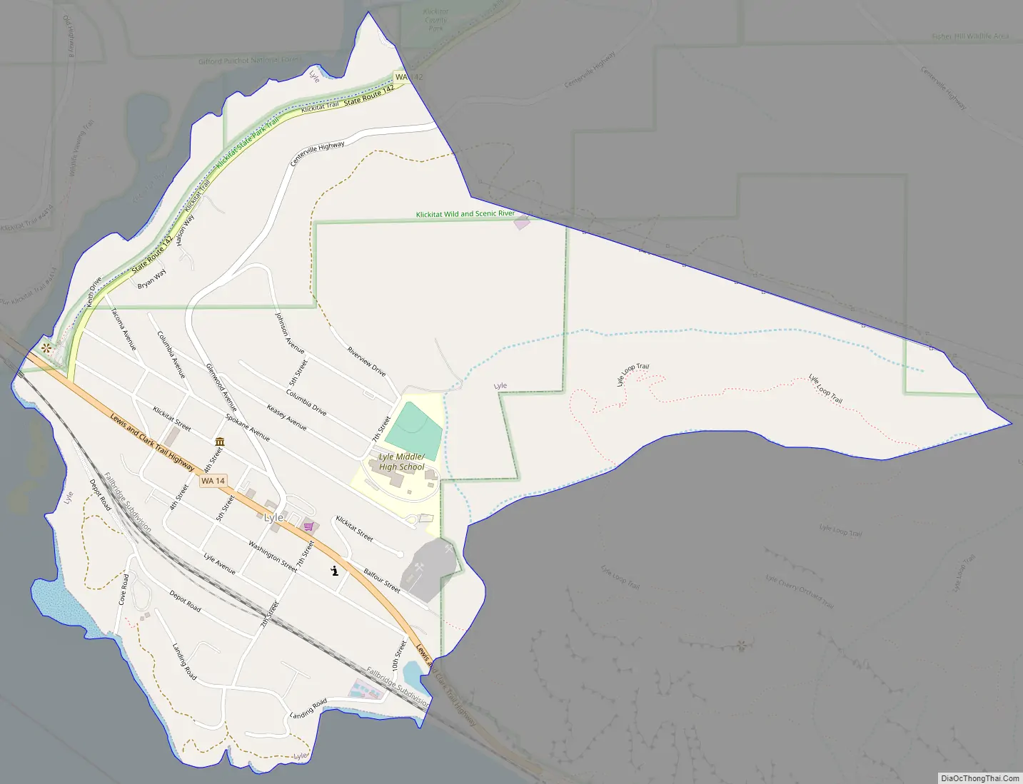
Lyle Road Map
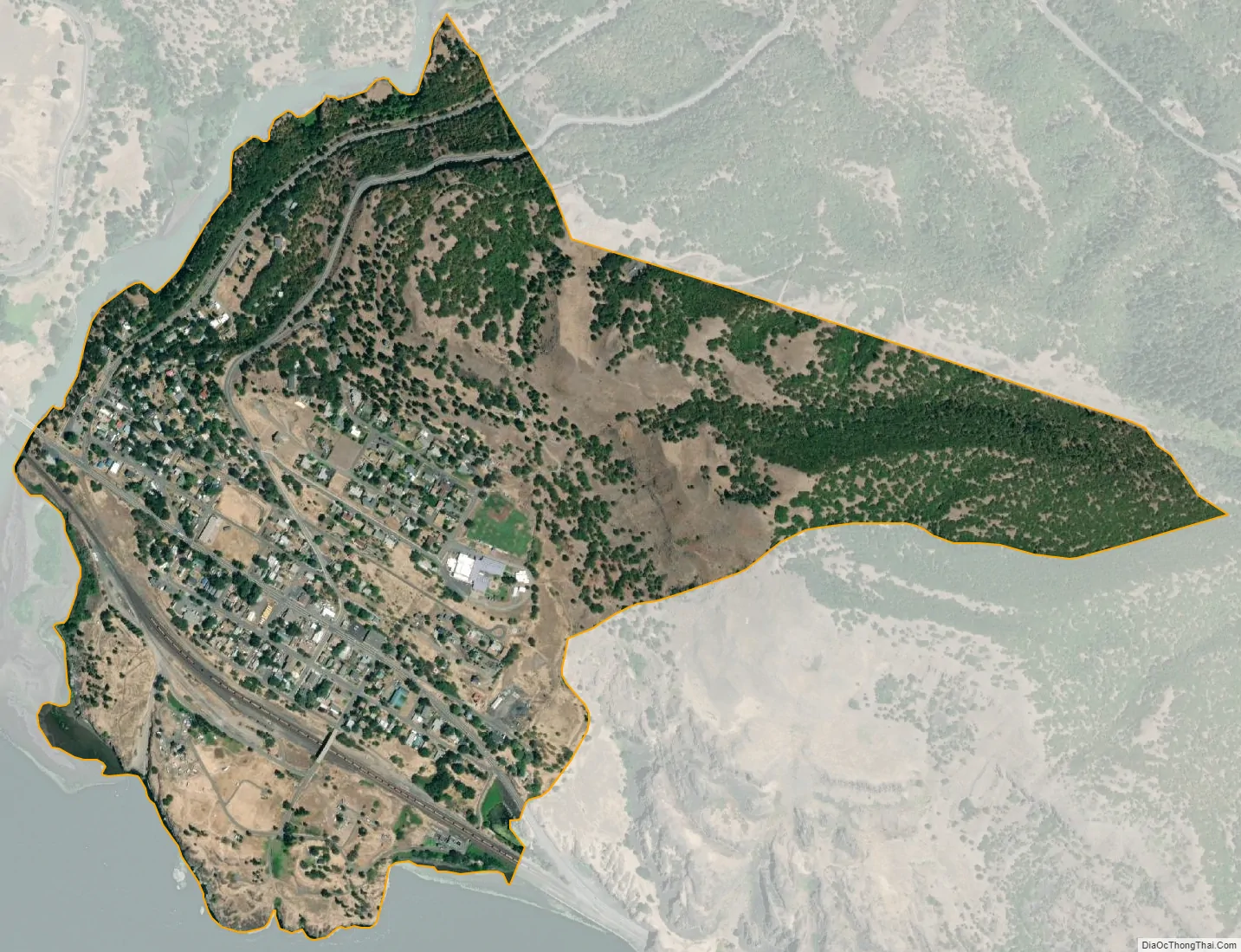
Lyle city Satellite Map
Geography
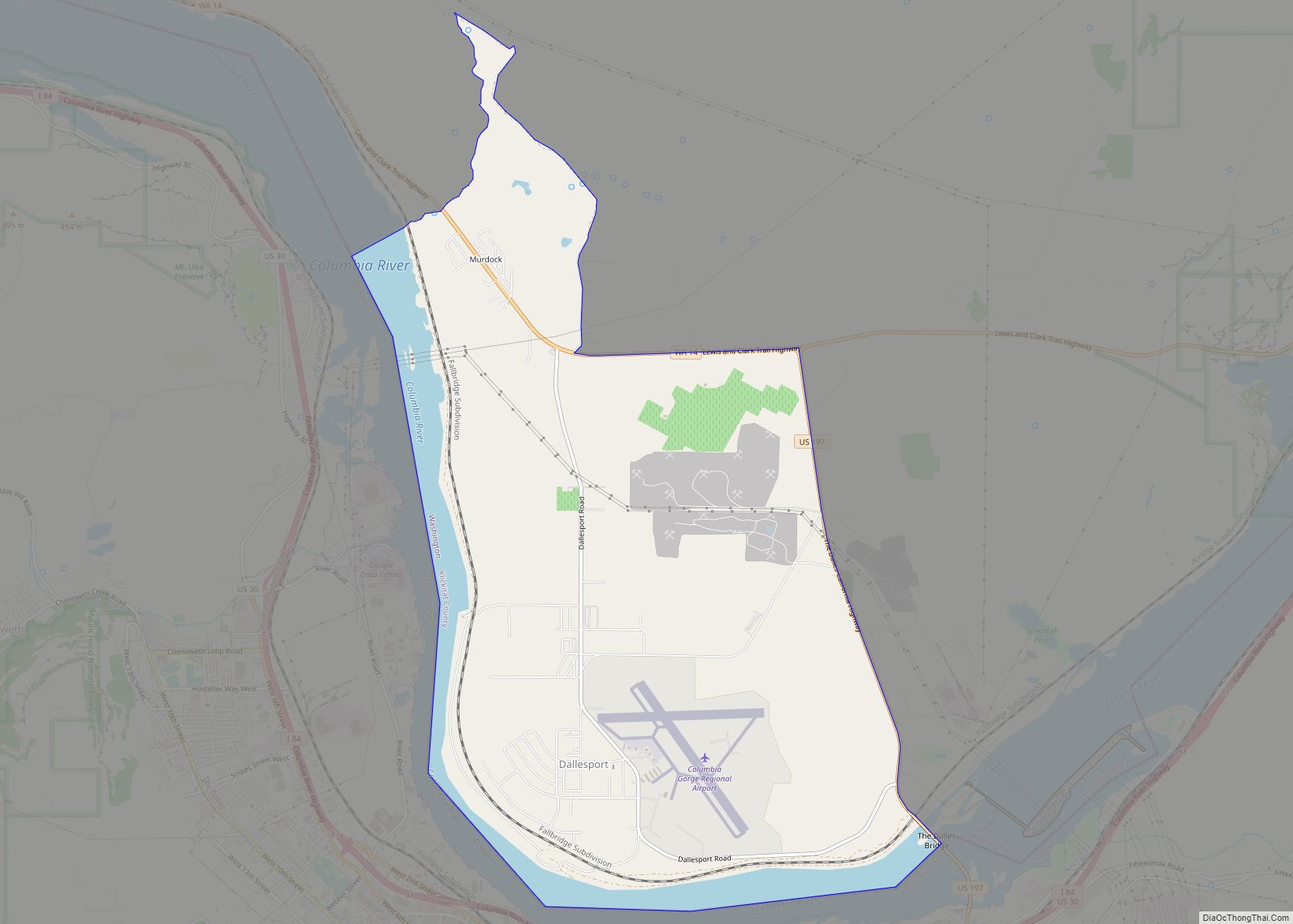
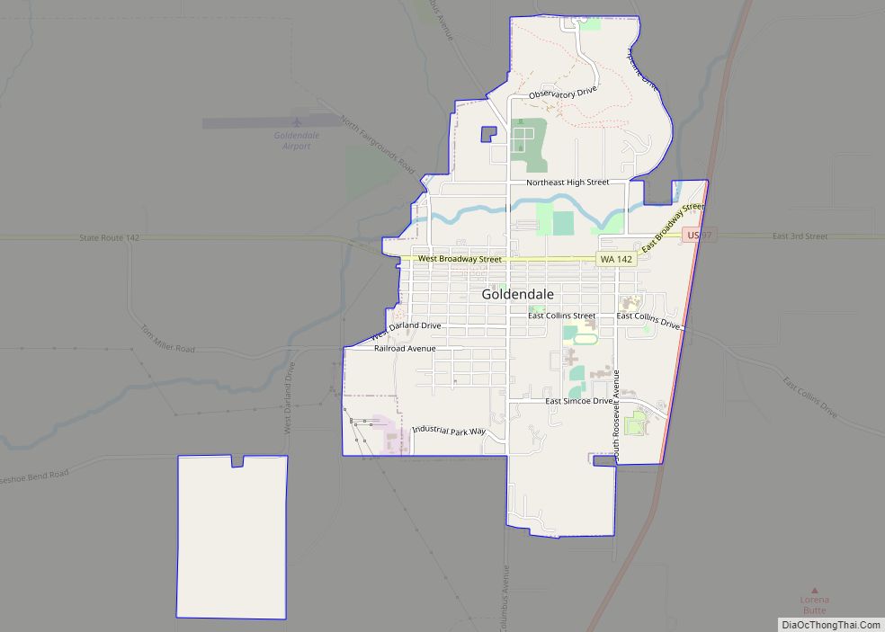
Lyle is located in southwestern Klickitat County at 45°41′45″N 121°16′56″W / 45.69583°N 121.28222°W / 45.69583; -121.28222 (45.695845, -121.282279), on the north side of the Columbia River where it is joined by the Klickitat River. State Route 14 passes through the town, leading 8 miles (13 km) east to Dallesport and a junction with U.S. Route 197, and 11 miles (18 km) west to White Salmon. Dallesport and White Salmon are the locations of the closest road crossings of the Columbia River to the east and west, respectively. In addition, State Route 142 travels from Lyle to Goldendale along the Klickitat River.
According to the United States Census Bureau, the Lyle CDP has a total area of 0.69 square miles (1.8 km), all of it land. Behind the town, most of the land consists of hills leading to a large plateau that is commonly found in south-central Washington.
Climate
This region experiences warm (but not hot) and dry summers, with no average monthly temperatures above 71.6 °F (22.0 °C). According to the Köppen Climate Classification system, Lyle has a warm-summer Mediterranean climate, abbreviated “Csb” on climate maps.
See also
Map of Washington State and its subdivision:- Adams
- Asotin
- Benton
- Chelan
- Clallam
- Clark
- Columbia
- Cowlitz
- Douglas
- Ferry
- Franklin
- Garfield
- Grant
- Grays Harbor
- Island
- Jefferson
- King
- Kitsap
- Kittitas
- Klickitat
- Lewis
- Lincoln
- Mason
- Okanogan
- Pacific
- Pend Oreille
- Pierce
- San Juan
- Skagit
- Skamania
- Snohomish
- Spokane
- Stevens
- Thurston
- Wahkiakum
- Walla Walla
- Whatcom
- Whitman
- Yakima
- Alabama
- Alaska
- Arizona
- Arkansas
- California
- Colorado
- Connecticut
- Delaware
- District of Columbia
- Florida
- Georgia
- Hawaii
- Idaho
- Illinois
- Indiana
- Iowa
- Kansas
- Kentucky
- Louisiana
- Maine
- Maryland
- Massachusetts
- Michigan
- Minnesota
- Mississippi
- Missouri
- Montana
- Nebraska
- Nevada
- New Hampshire
- New Jersey
- New Mexico
- New York
- North Carolina
- North Dakota
- Ohio
- Oklahoma
- Oregon
- Pennsylvania
- Rhode Island
- South Carolina
- South Dakota
- Tennessee
- Texas
- Utah
- Vermont
- Virginia
- Washington
- West Virginia
- Wisconsin
- Wyoming