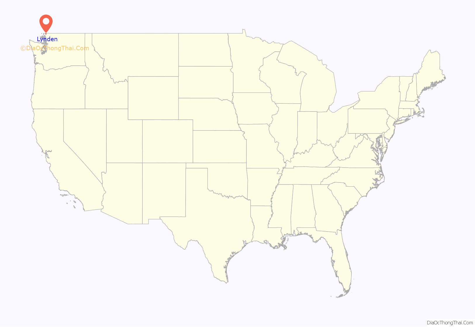
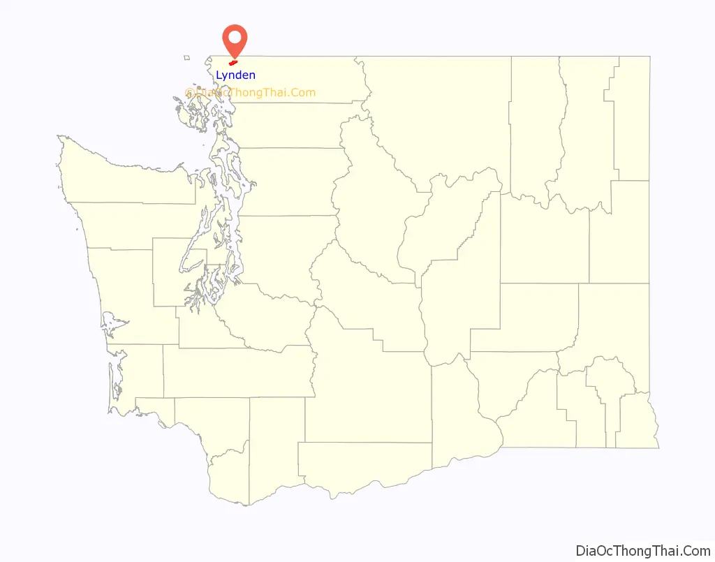
Lynden is a city in Whatcom County, Washington, United States. It is located 15 miles (24 km) north of Bellingham and approximately 5 miles (8.0 km) south of Canada–US border.
The city is located along the Nooksack River and State Route 539. The population of Lynden is about 14,259, according to the United States Census Bureau. Lynden is also home to the annual Northwest Washington Fair.
| Name: | Lynden city |
|---|---|
| LSAD Code: | 25 |
| LSAD Description: | city (suffix) |
| State: | Washington |
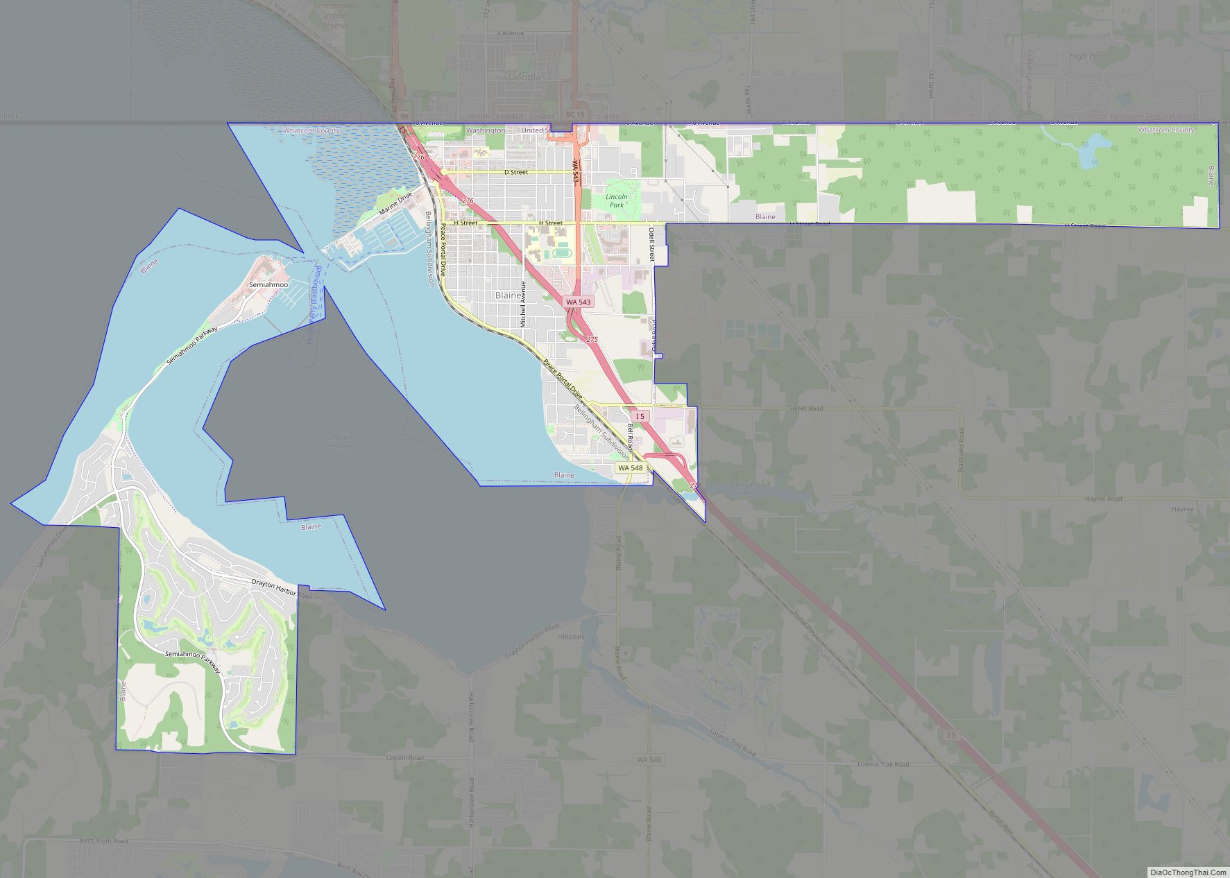
| County: | Whatcom County |
| Elevation: | 108 ft (33 m) |
| Total Area: | 5.45 sq mi (14.10 km²) |
| Land Area: | 5.43 sq mi (14.08 km²) |
| Water Area: | 0.01 sq mi (0.03 km²) |
| Total Population: | 11,951 |
| Population Density: | 2,800.92/sq mi (1,081.54/km²) |
| ZIP code: | 98264 |
| Area code: | 360 |
| FIPS code: | 5340805 |
| GNISfeature ID: | 1506392 |
| Website: | www.lyndenwa.org |
Online Interactive Map
Click on ![]() to view map in "full screen" mode.
to view map in "full screen" mode.
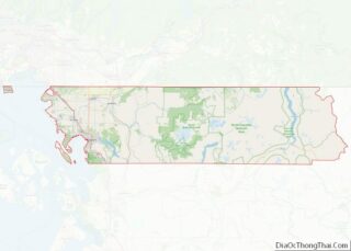
Lynden location map. Where is Lynden city?
History
Lynden was founded in the 1870s by Phoebe Judson and her husband, Holden, near the site of the Nooksack Indian village Squahamish. Judson named it after the riverside town in Hohenlinden, a poem by Thomas Campbell. According to her book, A Pioneer’s Search for an Ideal Home, Judson changed the spelling of “Linden” to be more visually appealing. Lynden was officially incorporated as a city on March 16, 1891. A statue of Judson now sits at the intersection of Front and 6th Street, near the Lynden Chamber of Commerce.
The city lies in a broad valley formed by the Nooksack River, which empties into nearby Bellingham Bay. The surrounding area is filled with dairy, raspberry, strawberry, and blueberry farms. The region saw significant Dutch immigration in the early and mid 1900s, spurring the growth of dairies. The city pays homage to its Dutch heritage through the design of buildings on Front Street and local businesses with “Dutch” names and products. In the early 21st century, the population has nearly doubled in size, with Dutch being more predominate than other ethnic ancestry.
In 2005, a drug smuggling tunnel was discovered in Lynden, built by a band of Canadian smugglers in the basement of a residence 5 miles (8.0 km) north of Lynden along the Canada–US border. At the time, this was the only known drug tunnel along the US-Canada border.
The first time that a presumptive presidential nominee of a U.S. major political party came to Lynden during a general election year was in May 2016, when Donald Trump visited the city.
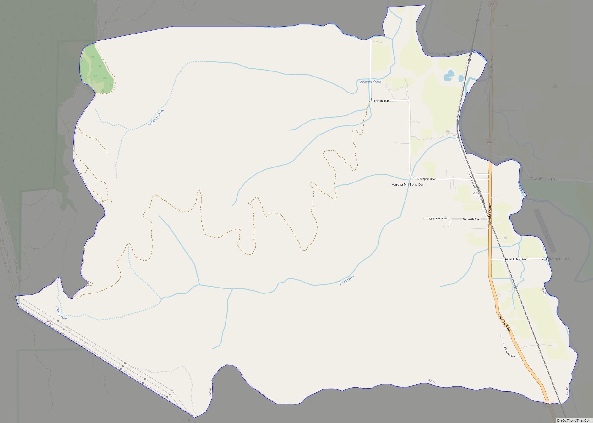
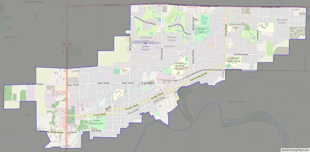
Lynden Road Map
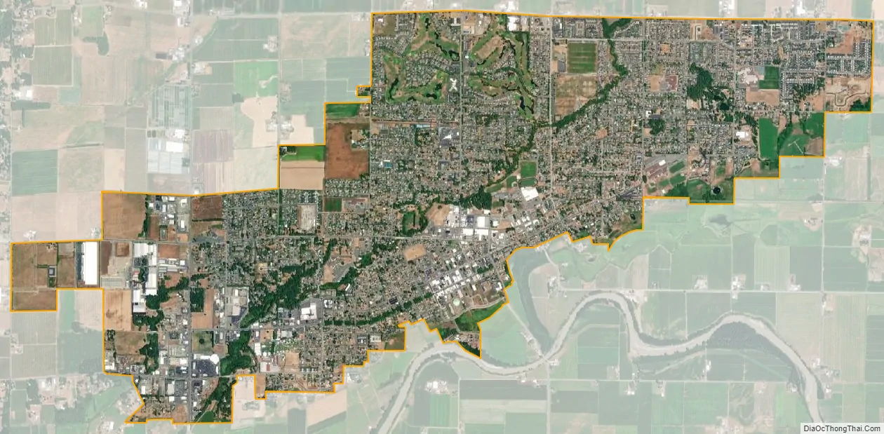
Lynden city Satellite Map
Geography
The Nooksack River runs along a short portion of the city’s southern border.
According to the United States Census Bureau, the city has a total area of 5.18 square miles (13.42 km), of which 5.17 square miles (13.39 km) is land and 0.01 square miles (0.03 km) is water.
Climate
Lynden has a warm-summer Mediterranean climate (Köppen Csb) typical of the North Coast that is characterized by warm (but not hot) dry summers, and mild to chilly rainy winters. In Lynden’s case, the climate is moderated by the proximity to the Pacific Ocean, with small temperature variations on average throughout the year, resulting in mild year-round temperatures, although winter months can get quite cool. Average high temperatures range from 44.6 °F (7.0 °C) in January to 73.6 °F (23.1 °C) in August. Lynden, on average, has very wet winters and summers with a few days of rainfall, also representative for the region.
See also
Map of Washington State and its subdivision:- Adams
- Asotin
- Benton
- Chelan
- Clallam
- Clark
- Columbia
- Cowlitz
- Douglas
- Ferry
- Franklin
- Garfield
- Grant
- Grays Harbor
- Island
- Jefferson
- King
- Kitsap
- Kittitas
- Klickitat
- Lewis
- Lincoln
- Mason
- Okanogan
- Pacific
- Pend Oreille
- Pierce
- San Juan
- Skagit
- Skamania
- Snohomish
- Spokane
- Stevens
- Thurston
- Wahkiakum
- Walla Walla
- Whatcom
- Whitman
- Yakima
- Alabama
- Alaska
- Arizona
- Arkansas
- California
- Colorado
- Connecticut
- Delaware
- District of Columbia
- Florida
- Georgia
- Hawaii
- Idaho
- Illinois
- Indiana
- Iowa
- Kansas
- Kentucky
- Louisiana
- Maine
- Maryland
- Massachusetts
- Michigan
- Minnesota
- Mississippi
- Missouri
- Montana
- Nebraska
- Nevada
- New Hampshire
- New Jersey
- New Mexico
- New York
- North Carolina
- North Dakota
- Ohio
- Oklahoma
- Oregon
- Pennsylvania
- Rhode Island
- South Carolina
- South Dakota
- Tennessee
- Texas
- Utah
- Vermont
- Virginia
- Washington
- West Virginia
- Wisconsin
- Wyoming