Marietta-Alderwood is a census-designated place (CDP) in Whatcom County, Washington, United States. The population was 3,906 at the 2010 census. Parts of Marietta-Alderwood were annexed into Bellingham in 2019.
| Name: | Marietta-Alderwood CDP |
|---|---|
| LSAD Code: | 57 |
| LSAD Description: | CDP (suffix) |
| State: | Washington |
| County: | Whatcom County |
| Total Area: | 7.4 sq mi (19.2 km²) |
| Land Area: | 6.0 sq mi (15.5 km²) |
| Water Area: | 1.4 sq mi (3.7 km²) |
| Total Population: | 3,906 |
| Population Density: | 601.6/sq mi (232.3/km²) |
| FIPS code: | 5343491 |
Online Interactive Map
Click on ![]() to view map in "full screen" mode.
to view map in "full screen" mode.
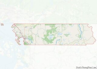
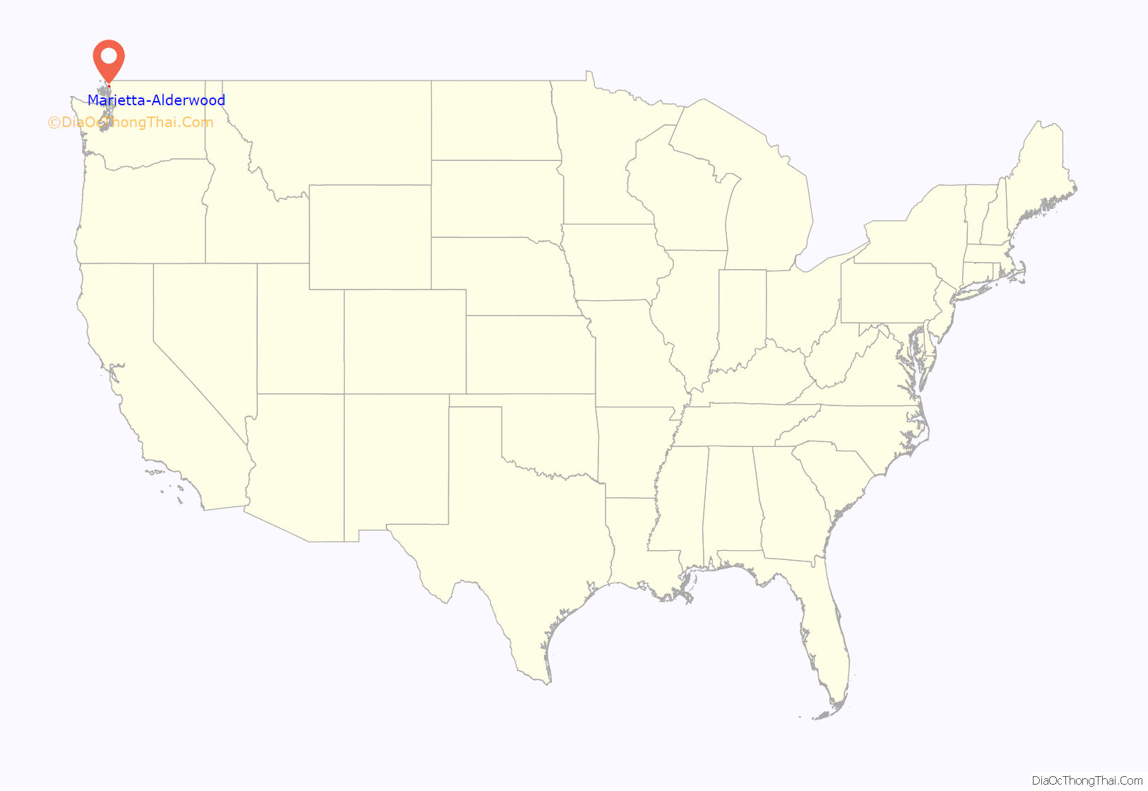
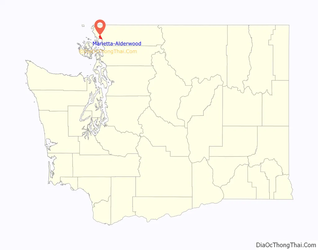
Marietta-Alderwood location map. Where is Marietta-Alderwood CDP?
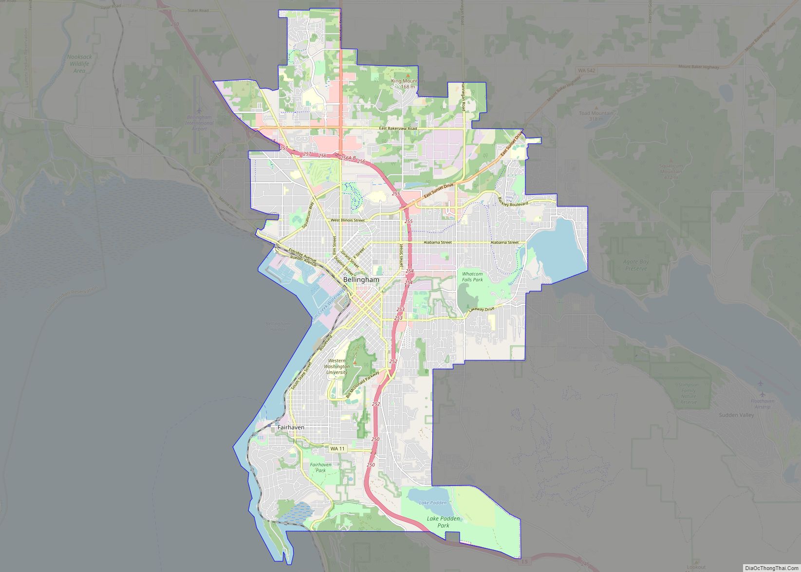
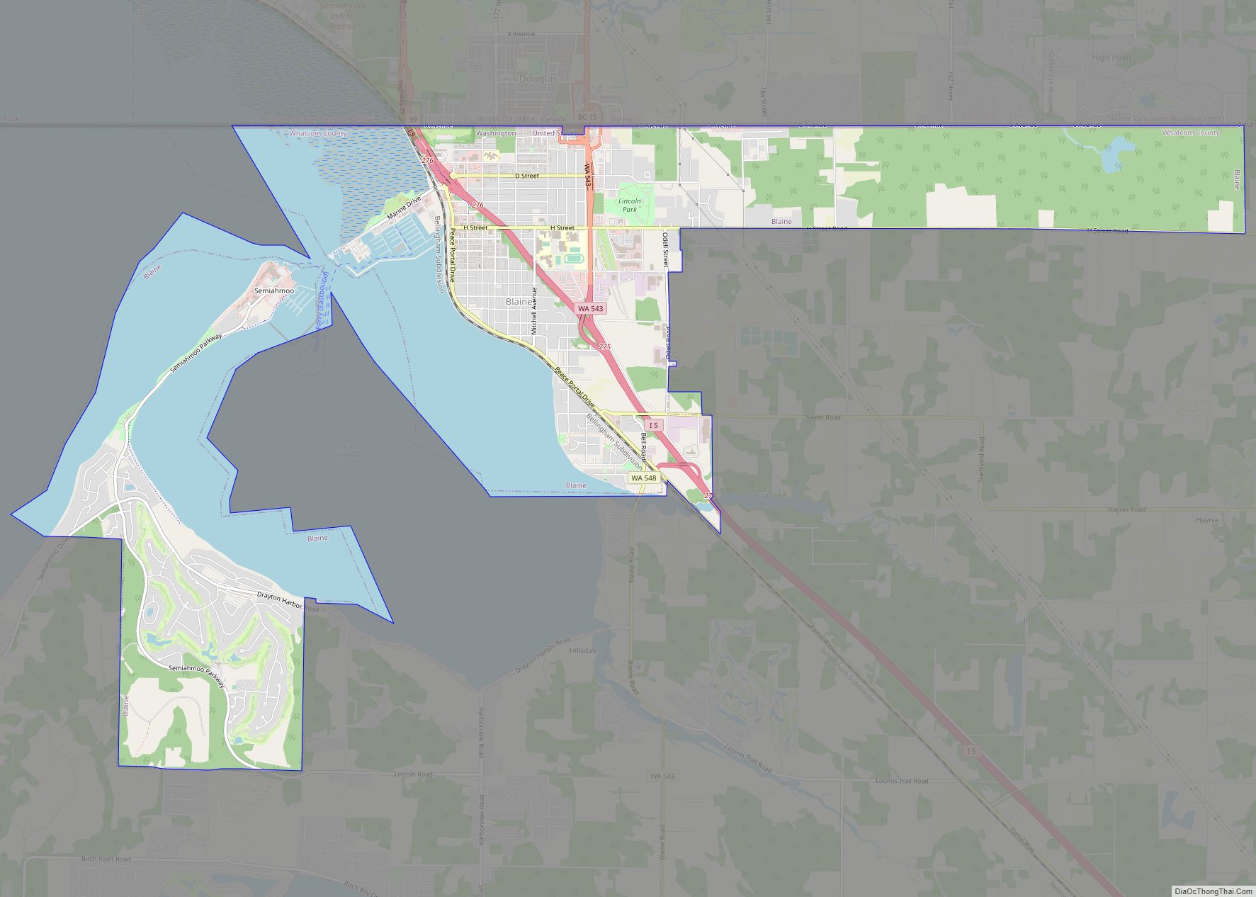
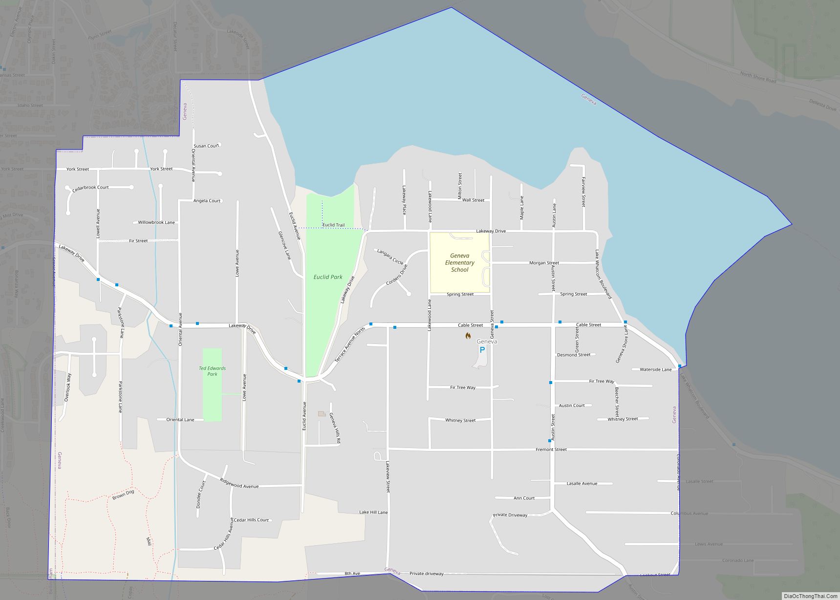
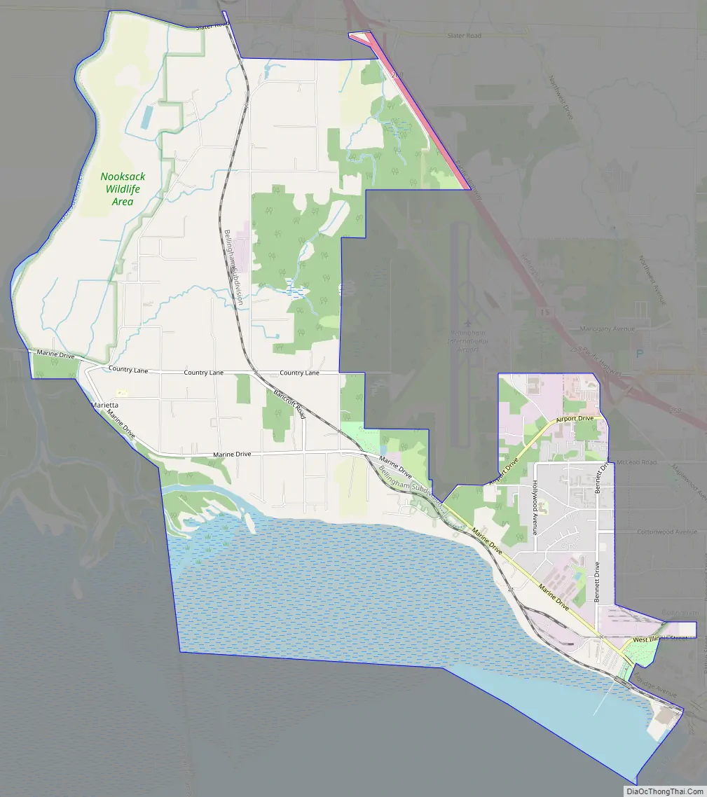
Marietta-Alderwood Road Map
Marietta-Alderwood city Satellite Map
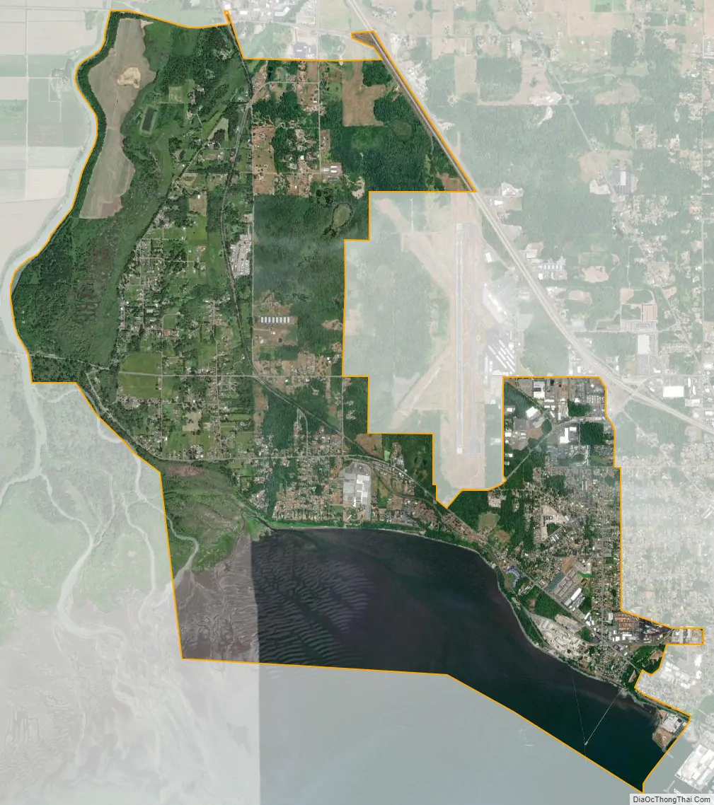
Geography
Marietta-Alderwood is located at 48°46′51″N 122°32′38″W / 48.78083°N 122.54389°W / 48.78083; -122.54389 (48.780895, -122.544015).
According to the United States Census Bureau, the CDP has a total area of 7.4 square miles (19 km), of which, 6.0 square miles (16 km) of it is land and 1.5 square miles (3.9 km) of it (19.54%) is water.
Climate
This region experiences warm (but not hot) and dry summers, with no average monthly temperatures above 71.6 °F. According to the Köppen Climate Classification system, Marietta-Alderwood has a warm-summer Mediterranean climate, abbreviated “Csb” on climate maps.
See also
Map of Washington State and its subdivision:- Adams
- Asotin
- Benton
- Chelan
- Clallam
- Clark
- Columbia
- Cowlitz
- Douglas
- Ferry
- Franklin
- Garfield
- Grant
- Grays Harbor
- Island
- Jefferson
- King
- Kitsap
- Kittitas
- Klickitat
- Lewis
- Lincoln
- Mason
- Okanogan
- Pacific
- Pend Oreille
- Pierce
- San Juan
- Skagit
- Skamania
- Snohomish
- Spokane
- Stevens
- Thurston
- Wahkiakum
- Walla Walla
- Whatcom
- Whitman
- Yakima
- Alabama
- Alaska
- Arizona
- Arkansas
- California
- Colorado
- Connecticut
- Delaware
- District of Columbia
- Florida
- Georgia
- Hawaii
- Idaho
- Illinois
- Indiana
- Iowa
- Kansas
- Kentucky
- Louisiana
- Maine
- Maryland
- Massachusetts
- Michigan
- Minnesota
- Mississippi
- Missouri
- Montana
- Nebraska
- Nevada
- New Hampshire
- New Jersey
- New Mexico
- New York
- North Carolina
- North Dakota
- Ohio
- Oklahoma
- Oregon
- Pennsylvania
- Rhode Island
- South Carolina
- South Dakota
- Tennessee
- Texas
- Utah
- Vermont
- Virginia
- Washington
- West Virginia
- Wisconsin
- Wyoming