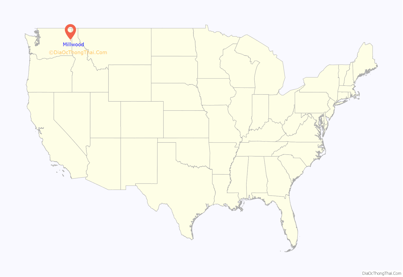
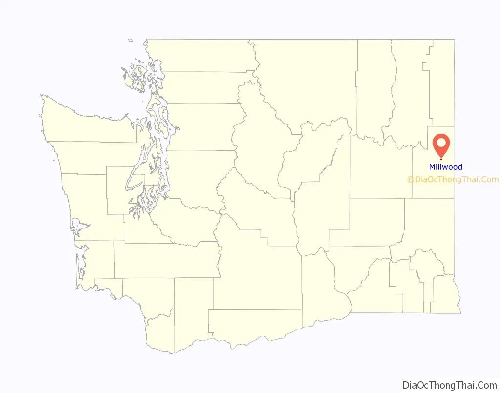
Millwood is a city in Spokane County, Washington, United States. The population was 1,786 at the 2010 census. Millwood is a suburb of Spokane, and is surrounded on three sides by the city of Spokane Valley. The Spokane River flows along the northern edge of the city.
| Name: | Millwood city |
|---|---|
| LSAD Code: | 25 |
| LSAD Description: | city (suffix) |
| State: | Washington |
| County: | Spokane County |
| Elevation: | 1,972 ft (601 m) |
| Total Area: | 0.70 sq mi (1.82 km²) |
| Land Area: | 0.70 sq mi (1.80 km²) |
| Water Area: | 0.01 sq mi (0.01 km²) |
| Total Population: | 1,786 |
| Population Density: | 2,586.21/sq mi (998.38/km²) |
| ZIP code: | 99212 |
| Area code: | 509 |
| FIPS code: | 5345985 |
| GNISfeature ID: | 1512466 |
| Website: | millwoodwa.us |
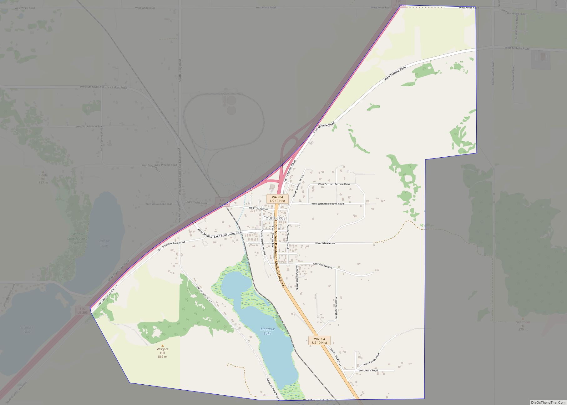
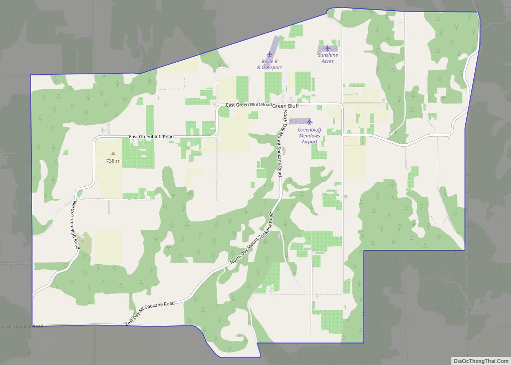
Online Interactive Map
Click on ![]() to view map in "full screen" mode.
to view map in "full screen" mode.
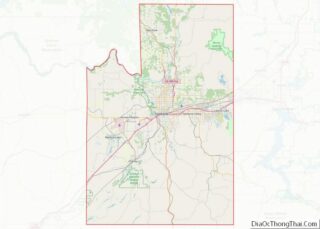
Millwood location map. Where is Millwood city?
History
Millwood was officially incorporated on October 26, 1927. It was named for the local sawmill.
According to the Tacoma Public Library’s Washington Place Names database: “In 1900, it was chosen as a station by the Spokane-Coeur d’Alene Electric Railway, and was named Woodard’s for the family who owned the land along the railway route. When Inland Empire Paper Company built a paper mill they requested a name change to Milltown. Railway officials refused the change unless the Woodard family agreed. A compromise resulted, using the word mill combined with the first four letters of Woodard. It was incorporated October 27, 1927.”
The Rosebush House, located in the center of Millwood, “is one of Millwood’s best preserved homes” and is listed on the U.S. National Register of Historic Places.
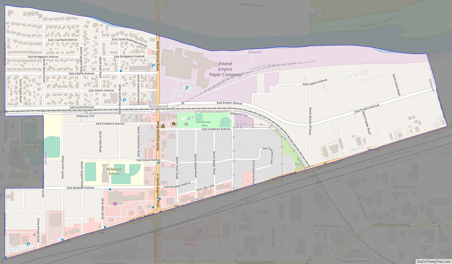
Millwood Road Map
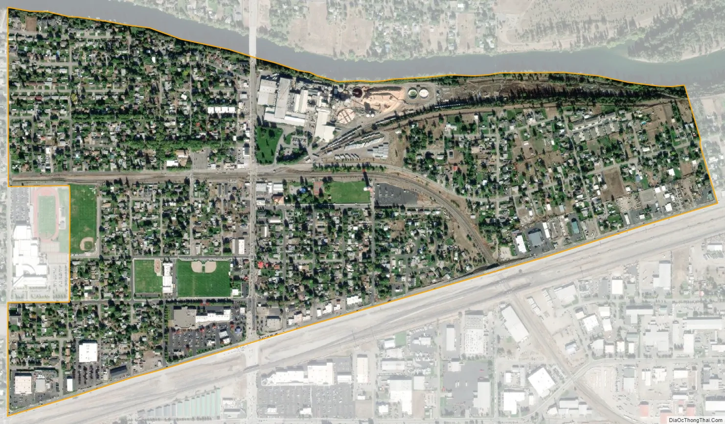
Millwood city Satellite Map
Geography
Millwood is located at 47°41′8″N 117°17′3″W / 47.68556°N 117.28417°W / 47.68556; -117.28417 (47.685693, -117.284297).
According to the United States Census Bureau, the town has a total area of 0.73 square miles (1.89 km), of which, 0.70 square miles (1.81 km) is land and 0.03 square miles (0.08 km) is water.
The topography of the city is mostly flat as it lies on the floor of the Spokane Valley, though it does slope gently down towards the north. The northern edge of town is defined by the Spokane River, where the terrain promptly drops about 20 feet down to the river bank.
Two major arterials pass through Millwood. Argonne Road bisects the city before crossing the Spokane River, providing the only river crossing for automobiles between Greene Street in Spokane, five miles to the west, and Trent Avenue three miles to the east. Trent Avenue, carrying Washington State Route 290, marks the southern limit of the city. The intersection of Argonne and Trent is home to a shopping center. The Argonne exit of Interstate 90 is located half-a-mile south of Millwood.
West Valley High School, which serves Millwood and surrounding areas, is located on the western boundary of the town.
Climate
This region experiences warm (but not hot) and dry summers, with no average monthly temperatures above 71.6 °F. According to the Köppen Climate Classification system, Millwood has a warm-summer Mediterranean climate, abbreviated “Csb” on climate maps.
See also
Map of Washington State and its subdivision:- Adams
- Asotin
- Benton
- Chelan
- Clallam
- Clark
- Columbia
- Cowlitz
- Douglas
- Ferry
- Franklin
- Garfield
- Grant
- Grays Harbor
- Island
- Jefferson
- King
- Kitsap
- Kittitas
- Klickitat
- Lewis
- Lincoln
- Mason
- Okanogan
- Pacific
- Pend Oreille
- Pierce
- San Juan
- Skagit
- Skamania
- Snohomish
- Spokane
- Stevens
- Thurston
- Wahkiakum
- Walla Walla
- Whatcom
- Whitman
- Yakima
- Alabama
- Alaska
- Arizona
- Arkansas
- California
- Colorado
- Connecticut
- Delaware
- District of Columbia
- Florida
- Georgia
- Hawaii
- Idaho
- Illinois
- Indiana
- Iowa
- Kansas
- Kentucky
- Louisiana
- Maine
- Maryland
- Massachusetts
- Michigan
- Minnesota
- Mississippi
- Missouri
- Montana
- Nebraska
- Nevada
- New Hampshire
- New Jersey
- New Mexico
- New York
- North Carolina
- North Dakota
- Ohio
- Oklahoma
- Oregon
- Pennsylvania
- Rhode Island
- South Carolina
- South Dakota
- Tennessee
- Texas
- Utah
- Vermont
- Virginia
- Washington
- West Virginia
- Wisconsin
- Wyoming