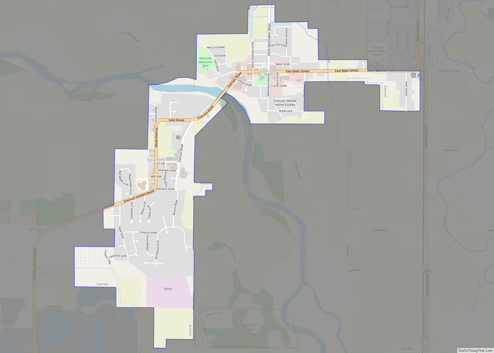
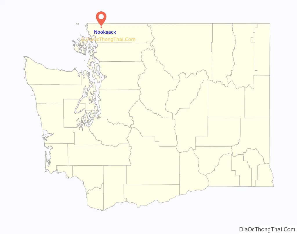
Nooksack (/ˈnʊksæk/ NUUK-sak) is a city in Whatcom County, Washington, 8 km (5.0 mi) south of the border with Canada. The population was 1,338 at the 2010 census. Despite the name, it is actually located right next to the upper stream of the Sumas River, and is 2 km (1.2 mi) northeast of the nearest bank of the Nooksack River.
Nooksack shares Nooksack Valley School District with the nearby Sumas and Everson. The town is just a handful of buildings built around the State Route 9 highway that runs through it, and contracts the police and sewer services through the adjacent City of Everson. The post office lost its official status in 1992 (now a department of neighboring Everson) and the USPS has since closed the remote office, but the building still exists across from a small city park. Other noticeable remains are the two gas stations and several churches. It has no major geographic features except two small creeks that drains into the Sumas River on the edge of town, near a cemetery containing many old graves.
| Name: | Nooksack city |
|---|---|
| LSAD Code: | 25 |
| LSAD Description: | city (suffix) |
| State: | Washington |
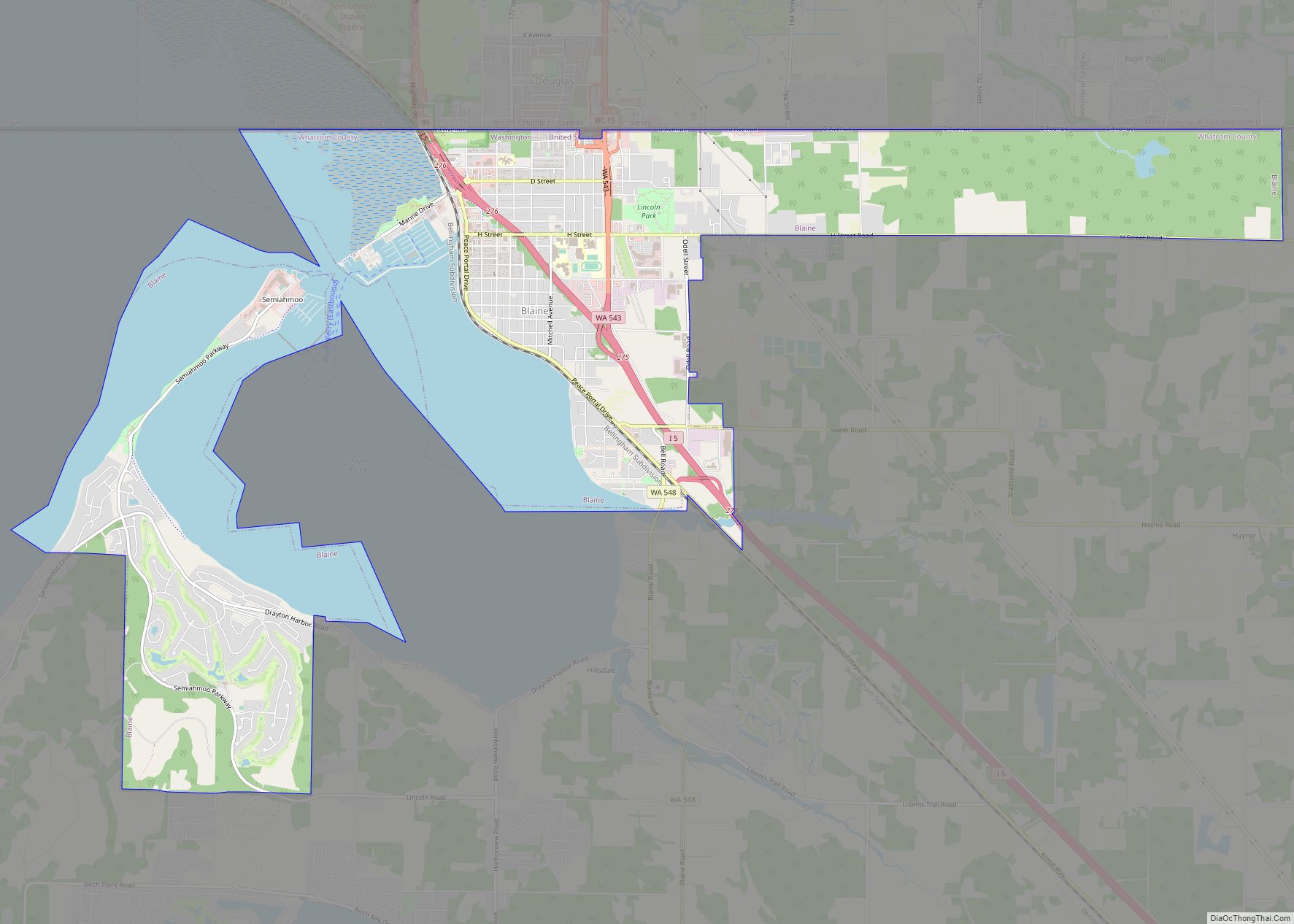
| County: | Whatcom County |
| Elevation: | 85 ft (26 m) |
| Total Area: | 0.87 sq mi (2.25 km²) |
| Land Area: | 0.87 sq mi (2.25 km²) |
| Water Area: | 0.00 sq mi (0.00 km²) |
| Total Population: | 1,338 |
| Population Density: | 1,876.87/sq mi (724.26/km²) |
| ZIP code: | 98276 |
| Area code: | 360 |
| FIPS code: | 5349275 |
| GNISfeature ID: | 1507007 |
Online Interactive Map
Click on ![]() to view map in "full screen" mode.
to view map in "full screen" mode.
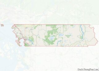
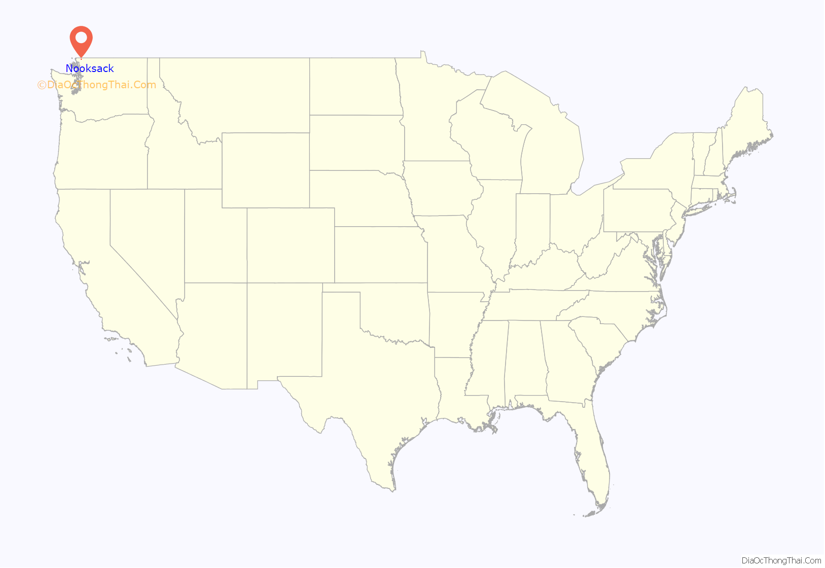
Nooksack location map. Where is Nooksack city?
History
Nooksack was officially incorporated on December 6, 1912, and experienced much growth in its early years. It had a rail station, connecting it to the national train network. However, serious fires in the town in the early 20th century caused most of the growth to halt.
A merger between Nooksack and neighboring Everson into a single city was proposed by a citizens group in February 2009 with support from local officials. Names for the proposed new city included “Nooksack Valley”. The proposal was dropped in May following a unanimous vote by the Nooksack City Council to not move forward based on public feedback.
Noosack lacks its own ZIP code due to a decision by the U.S. Postal Service in 1992 to station the postmaster in Everson, forcing the two cities to share ZIP code 98247. As a result, the city was found to have lost sales tax revenue that was instead distributed to Everson based on the ZIP code.
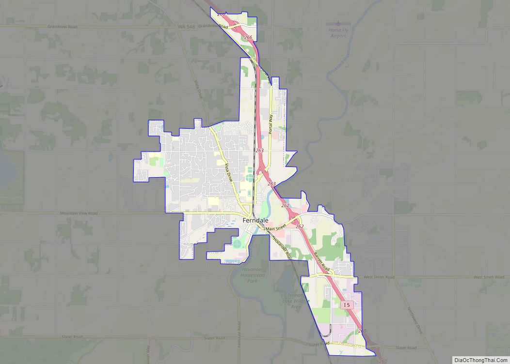
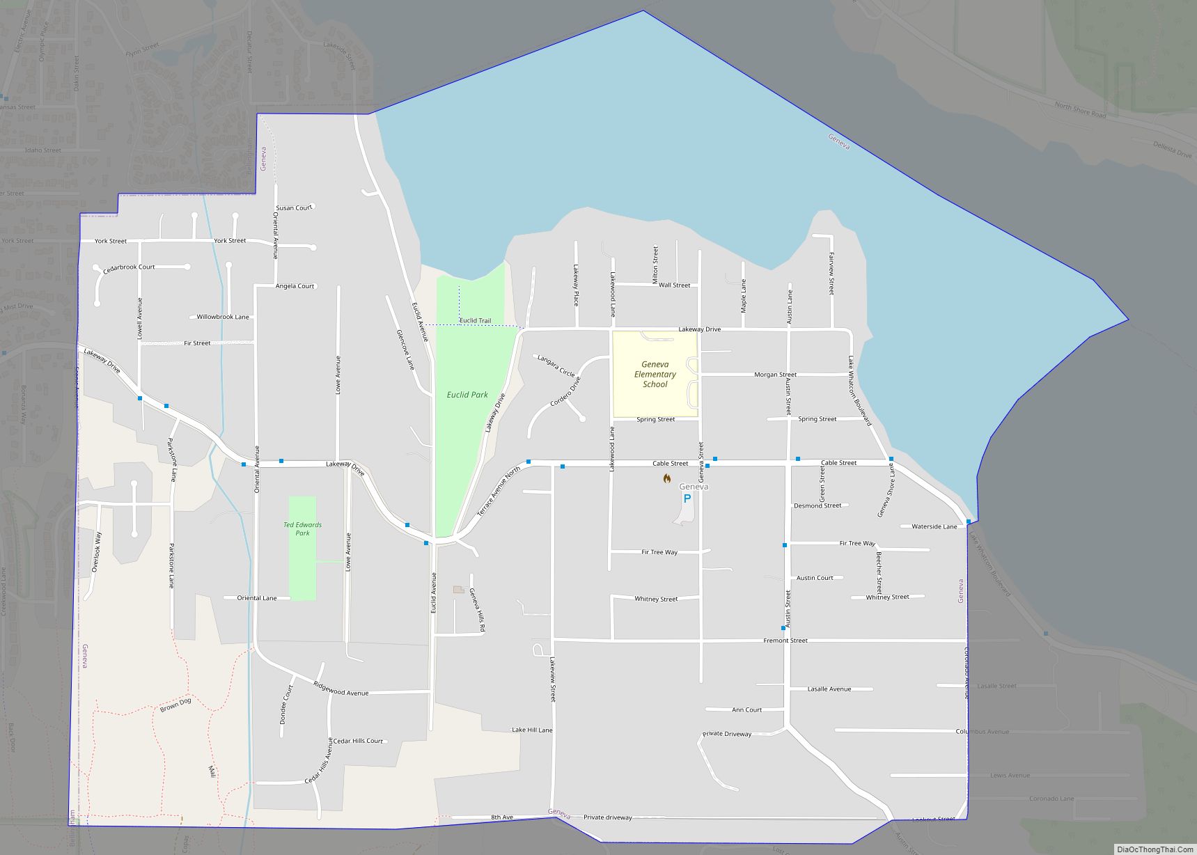
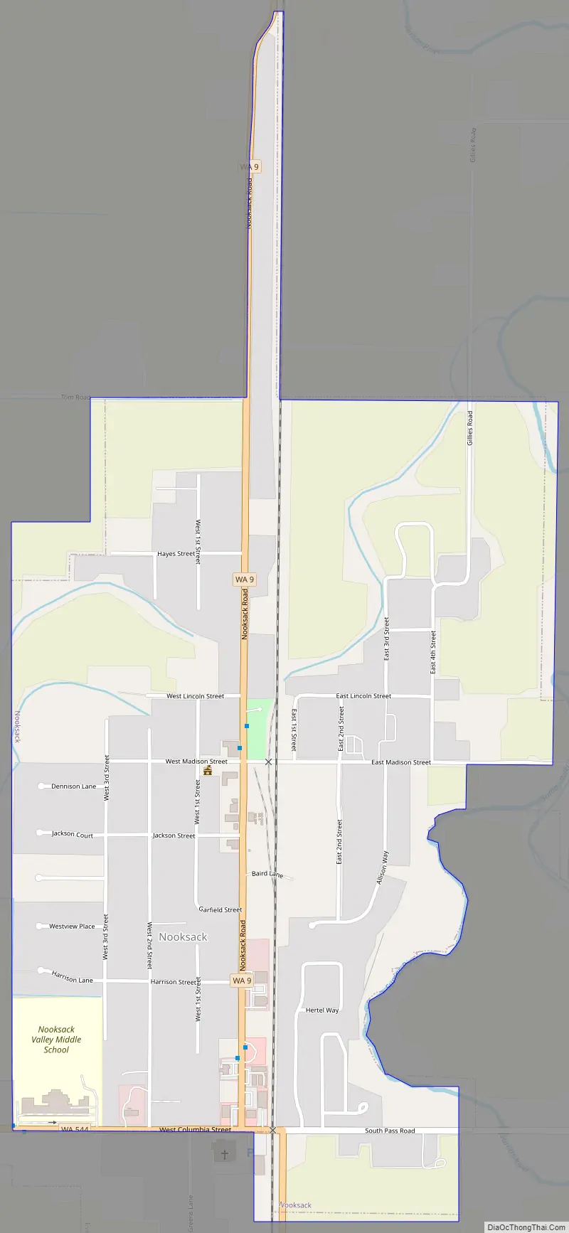
Nooksack Road Map
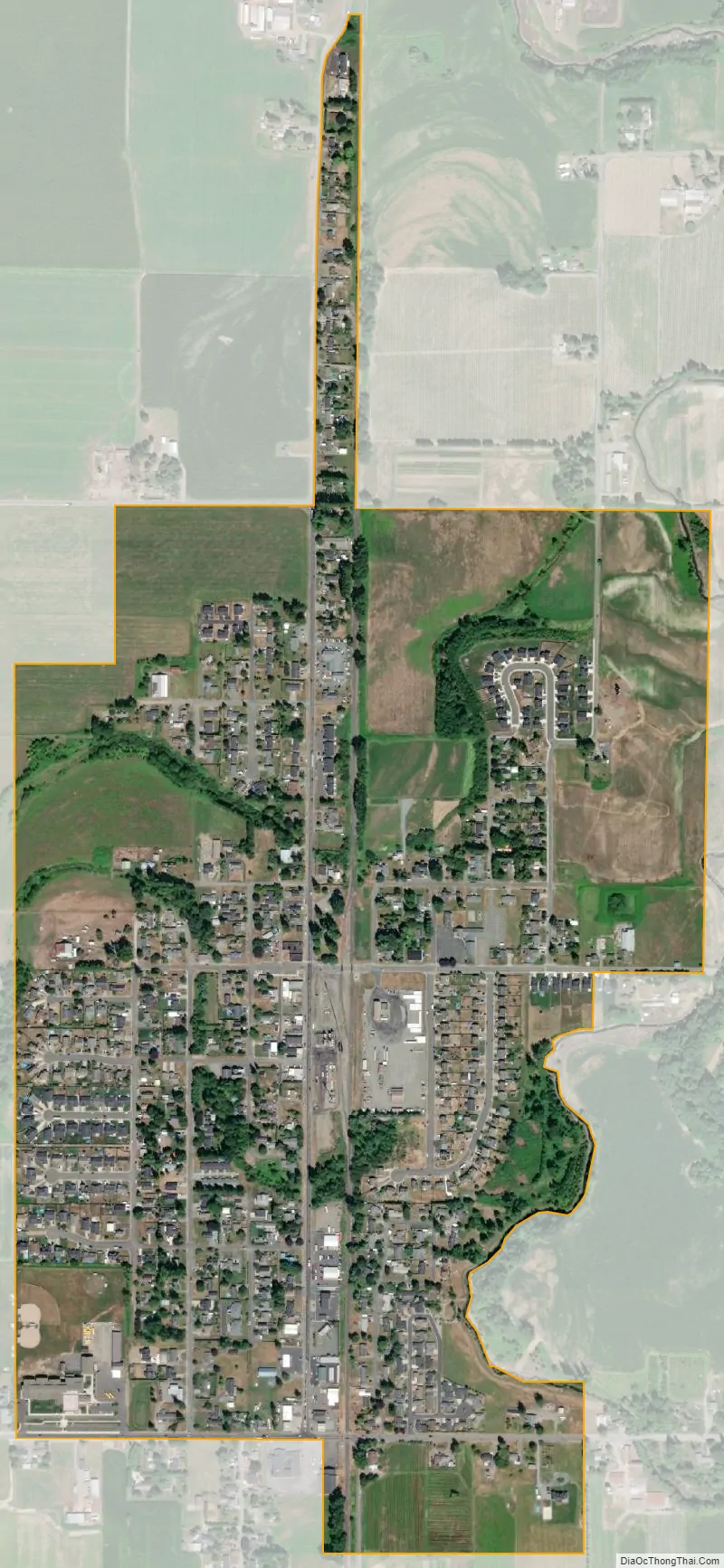
Nooksack city Satellite Map
Geography
Nooksack is located at 48°55′42″N 122°19′10″W / 48.92833°N 122.31944°W / 48.92833; -122.31944 (48.928240, -122.319544).
According to the United States Census Bureau, the city has a total area of 0.71 square miles (1.84 km), all of it land.
Climate
The climate in this area has mild differences between highs and lows, and there is adequate rainfall year-round. According to the Köppen Climate Classification system, Nooksack has a marine west coast climate, abbreviated “Cfb” on climate maps.
See also
Map of Washington State and its subdivision:- Adams
- Asotin
- Benton
- Chelan
- Clallam
- Clark
- Columbia
- Cowlitz
- Douglas
- Ferry
- Franklin
- Garfield
- Grant
- Grays Harbor
- Island
- Jefferson
- King
- Kitsap
- Kittitas
- Klickitat
- Lewis
- Lincoln
- Mason
- Okanogan
- Pacific
- Pend Oreille
- Pierce
- San Juan
- Skagit
- Skamania
- Snohomish
- Spokane
- Stevens
- Thurston
- Wahkiakum
- Walla Walla
- Whatcom
- Whitman
- Yakima
- Alabama
- Alaska
- Arizona
- Arkansas
- California
- Colorado
- Connecticut
- Delaware
- District of Columbia
- Florida
- Georgia
- Hawaii
- Idaho
- Illinois
- Indiana
- Iowa
- Kansas
- Kentucky
- Louisiana
- Maine
- Maryland
- Massachusetts
- Michigan
- Minnesota
- Mississippi
- Missouri
- Montana
- Nebraska
- Nevada
- New Hampshire
- New Jersey
- New Mexico
- New York
- North Carolina
- North Dakota
- Ohio
- Oklahoma
- Oregon
- Pennsylvania
- Rhode Island
- South Carolina
- South Dakota
- Tennessee
- Texas
- Utah
- Vermont
- Virginia
- Washington
- West Virginia
- Wisconsin
- Wyoming