Westport is an unincorporated community and census-designated place on the Columbia River in Clatsop County, Oregon, United States. As of the 2010 census, it had a population of 321.
Westport is connected to Cathlamet, Washington, across the river via the Wahkiakum County ferry to Puget Island. U.S. Route 30 passes through the community, connecting it to Astoria to the west and Clatskanie to the east.
Westport is named after “Captain” John West, a millwright and lumberman who settled in the area in the early 1850s. West was a native of Scotland, emigrated to Canada as a young man where he worked in a sawmill on the St. Lawrence River and then came to Oregon via California during the gold rush of 1849. West ran a sawmill and a salmon cannery in the community. The Westport post office was established in 1863 with West was its first postmaster.
| Name: | Westport CDP |
|---|---|
| LSAD Code: | 57 |
| LSAD Description: | CDP (suffix) |
| State: | Oregon |
| County: | Clatsop County |
| Total Area: | 0.66 sq mi (1.72 km²) |
| Land Area: | 0.66 sq mi (1.72 km²) |
| Water Area: | 0.00 sq mi (0.00 km²) |
| Total Population: | 319 |
| Population Density: | 481.15/sq mi (185.90/km²) |
| ZIP code: | 97016 |
| Area code: | 503 and 971 |
| FIPS code: | 4180400 |
| GNISfeature ID: | 1136894 |
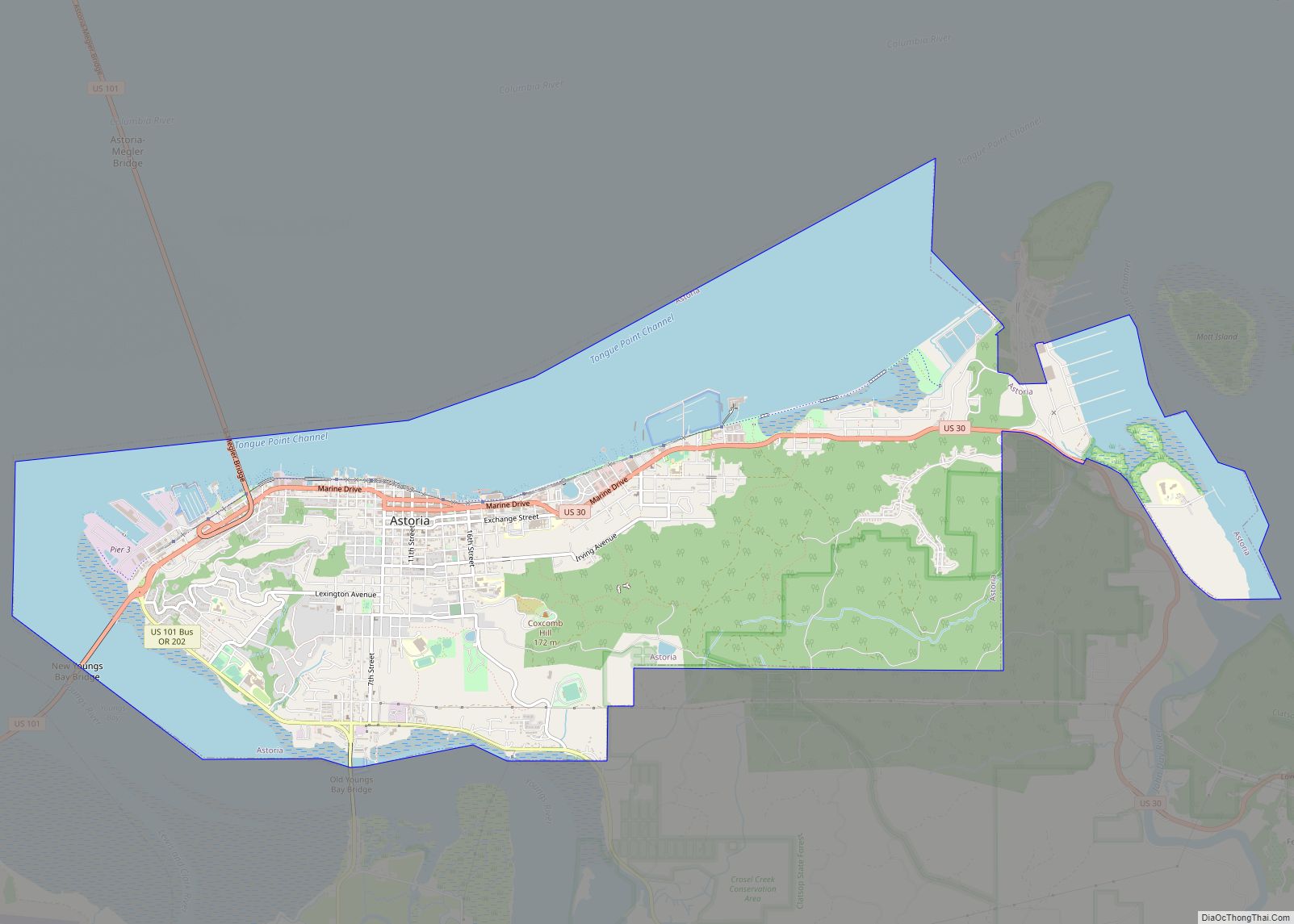
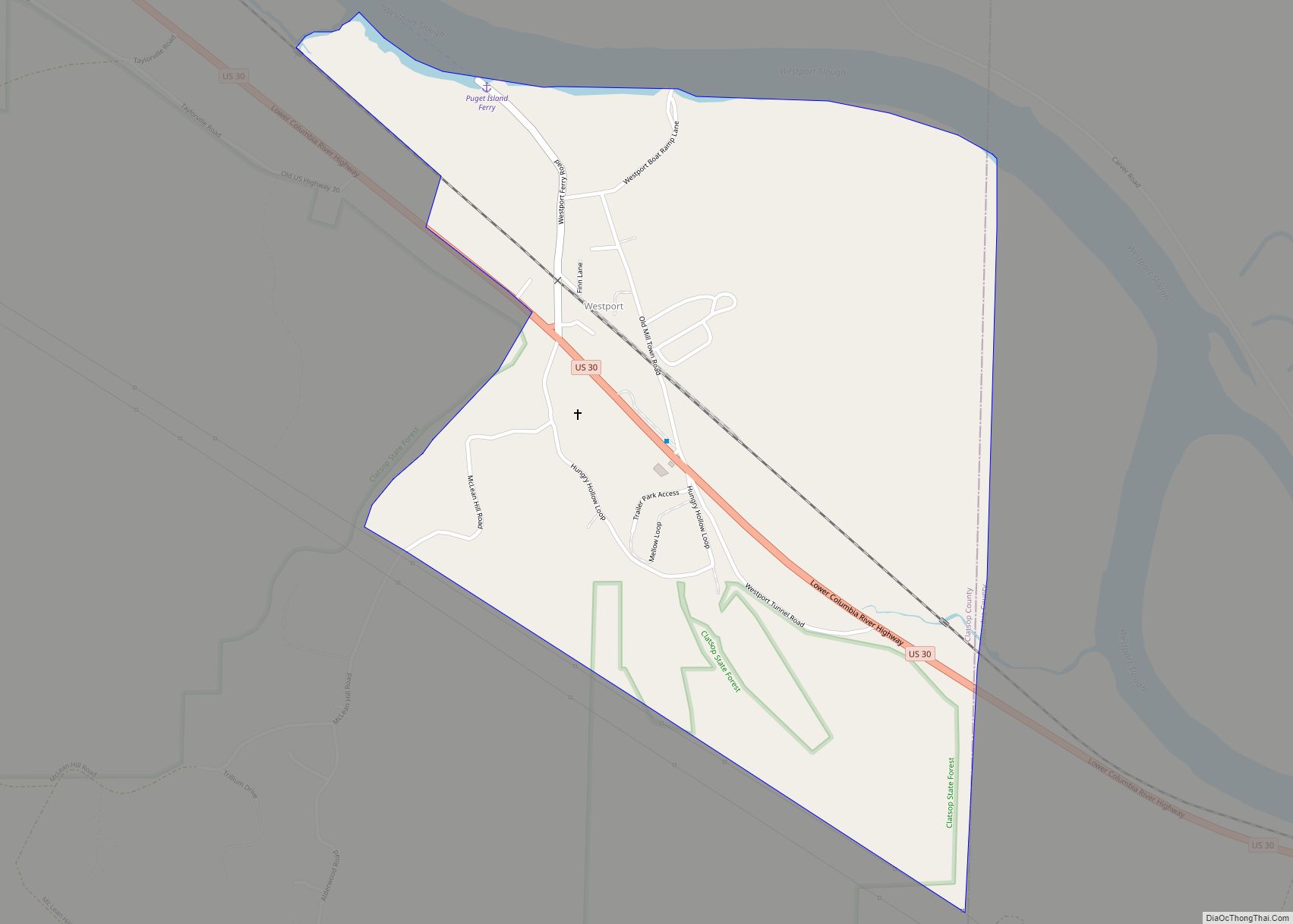
Online Interactive Map
Click on ![]() to view map in "full screen" mode.
to view map in "full screen" mode.
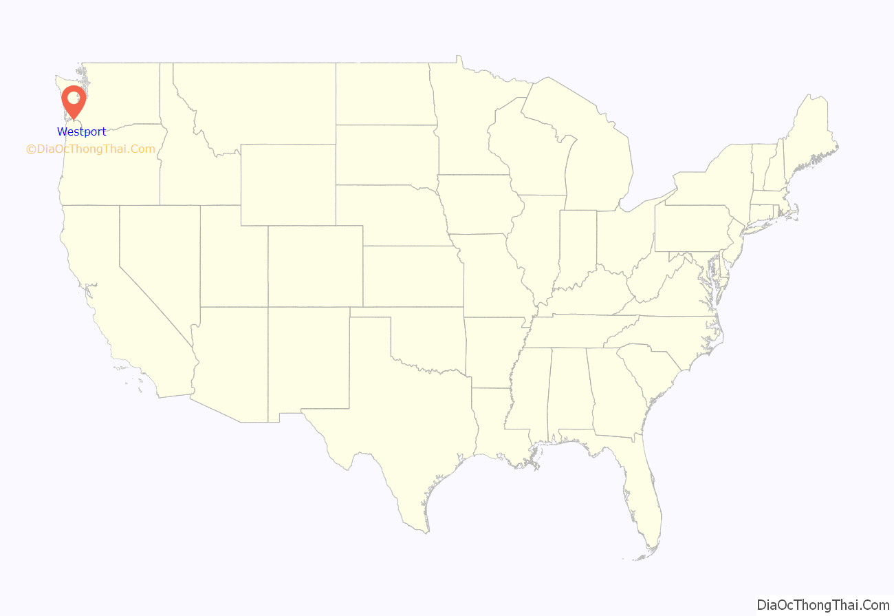
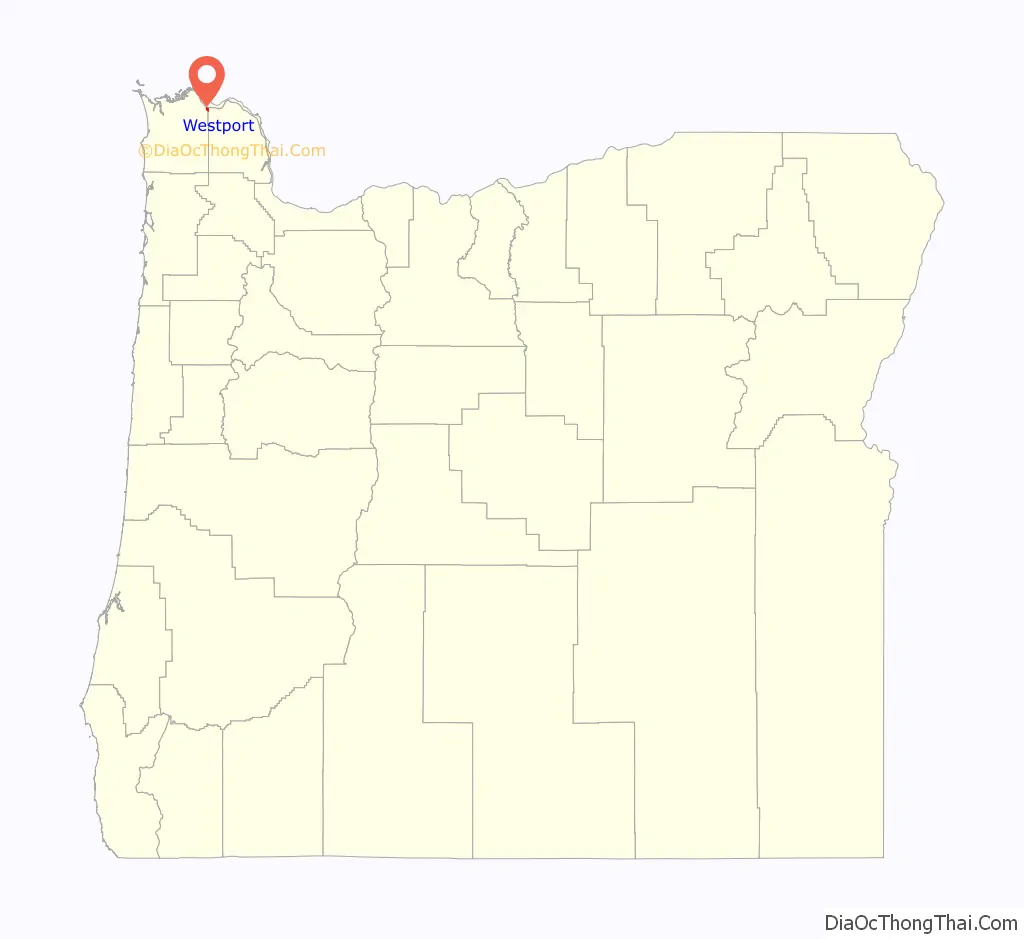
Westport location map. Where is Westport CDP?
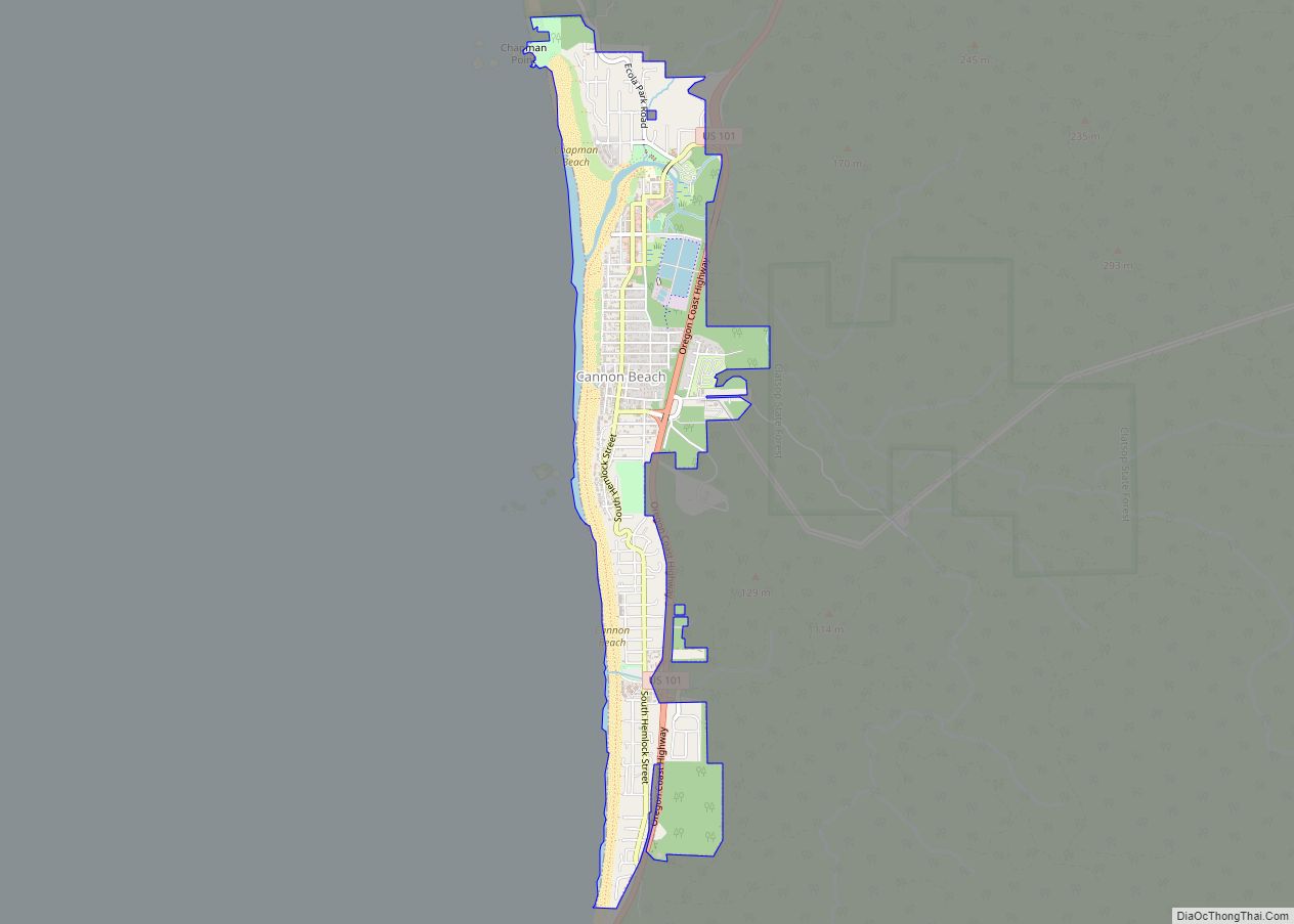
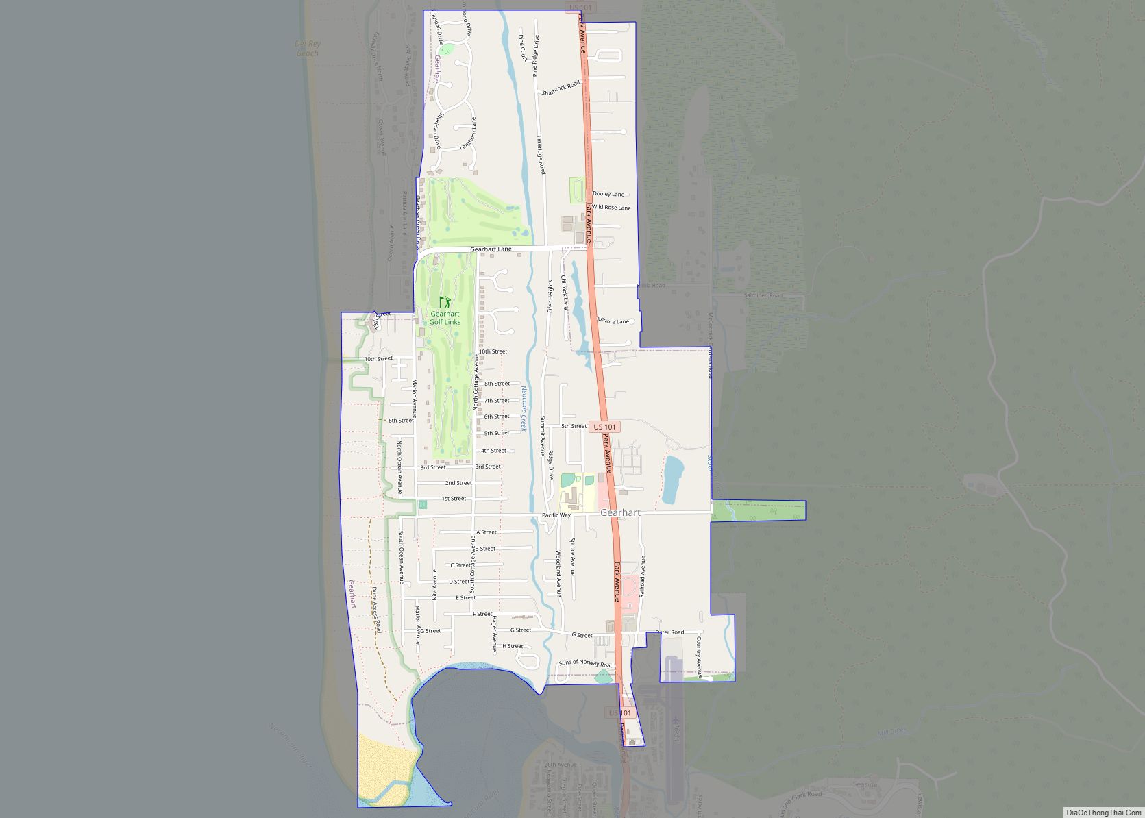
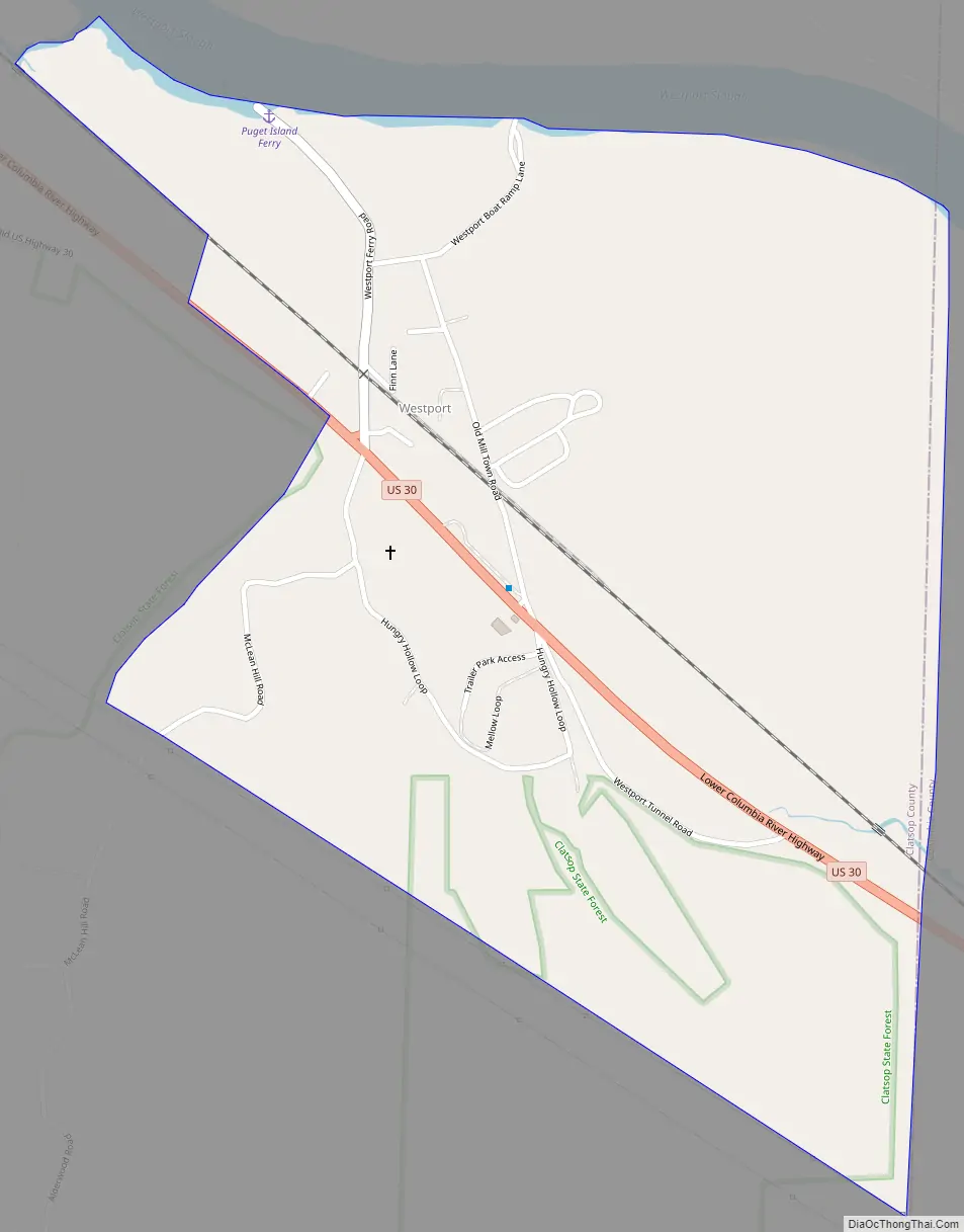
Westport Road Map
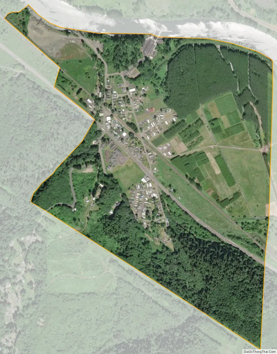
Westport city Satellite Map
See also
Map of Oregon State and its subdivision: Map of other states:- Alabama
- Alaska
- Arizona
- Arkansas
- California
- Colorado
- Connecticut
- Delaware
- District of Columbia
- Florida
- Georgia
- Hawaii
- Idaho
- Illinois
- Indiana
- Iowa
- Kansas
- Kentucky
- Louisiana
- Maine
- Maryland
- Massachusetts
- Michigan
- Minnesota
- Mississippi
- Missouri
- Montana
- Nebraska
- Nevada
- New Hampshire
- New Jersey
- New Mexico
- New York
- North Carolina
- North Dakota
- Ohio
- Oklahoma
- Oregon
- Pennsylvania
- Rhode Island
- South Carolina
- South Dakota
- Tennessee
- Texas
- Utah
- Vermont
- Virginia
- Washington
- West Virginia
- Wisconsin
- Wyoming