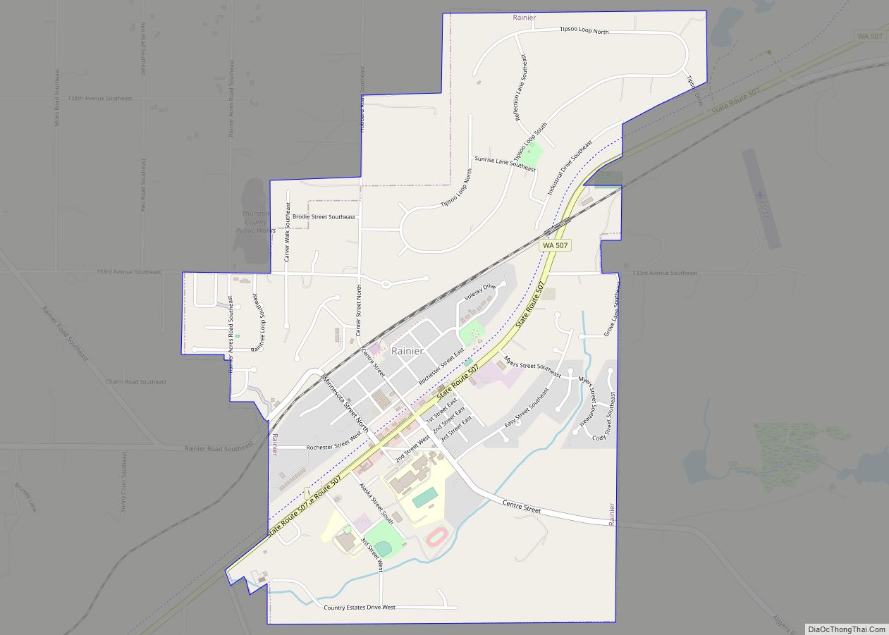
Rainier (/reɪˈnɪər/ ray-NEER) is a city in Thurston County, Washington, United States. Beginning as a train stop in the 1870s, Rainier was first settled in 1890 and would become known as a logging town. The city was officially incorporated in 1947.
| Name: | Rainier city |
|---|---|
| LSAD Code: | 25 |
| LSAD Description: | city (suffix) |
| State: | Washington |
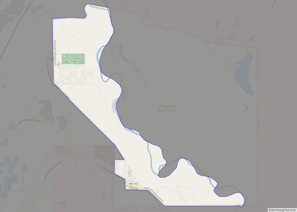
| County: | Thurston County |
| Elevation: | 433 ft (132 m) |
| Total Area: | 1.74 sq mi (4.50 km²) |
| Land Area: | 1.74 sq mi (4.50 km²) |
| Water Area: | 0.00 sq mi (0.00 km²) |
| Total Population: | 2,369 |
| Population Density: | 1,315.88/sq mi (508.01/km²) |
| ZIP code: | 98576 |
| Area code: | 360 |
| FIPS code: | 5357220 |
| GNISfeature ID: | 1507707 |
| Website: | cityofrainierwa.org |
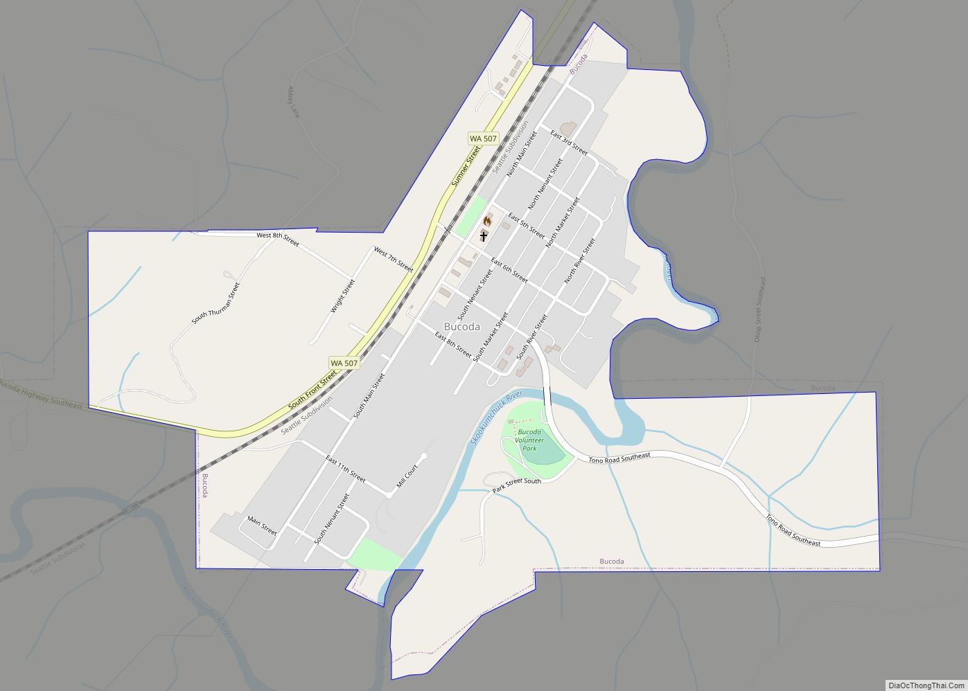
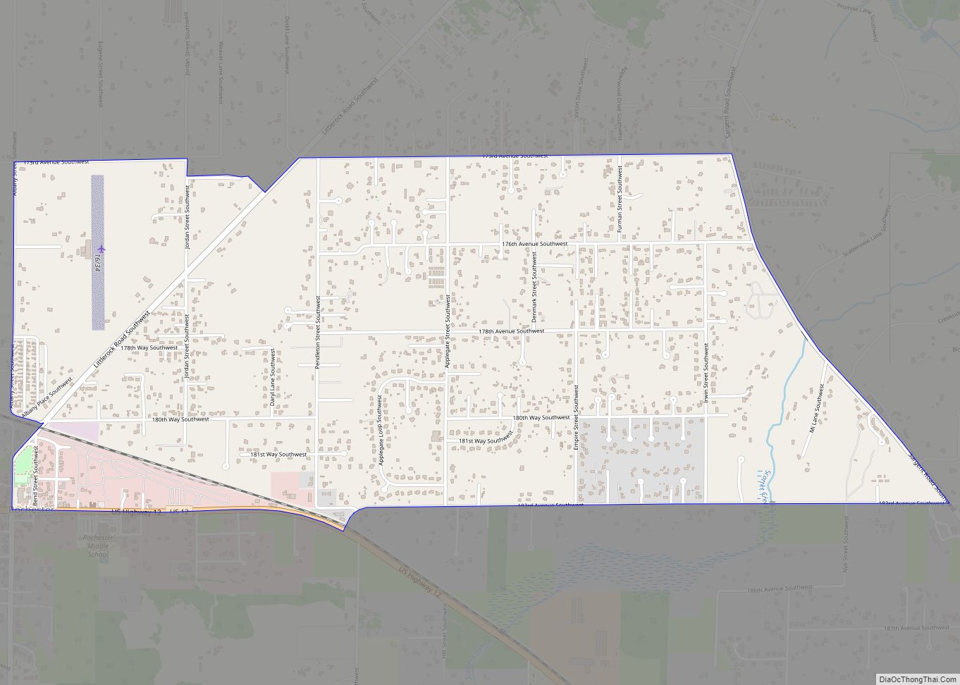
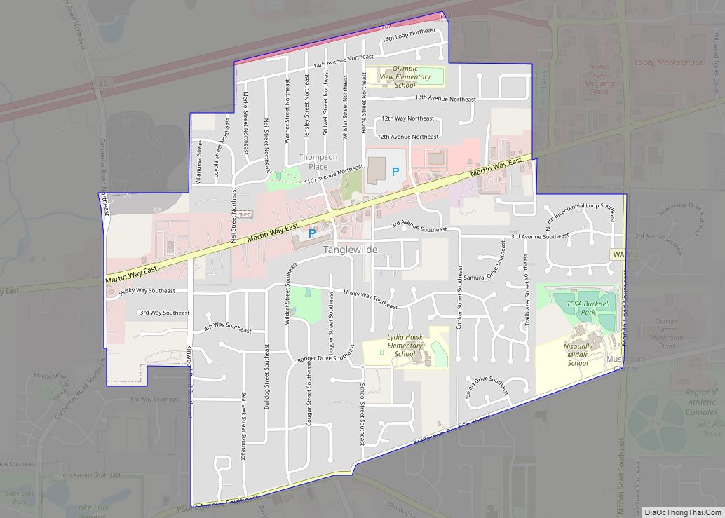
Online Interactive Map
Click on ![]() to view map in "full screen" mode.
to view map in "full screen" mode.
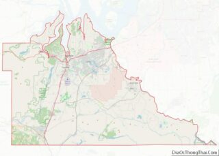
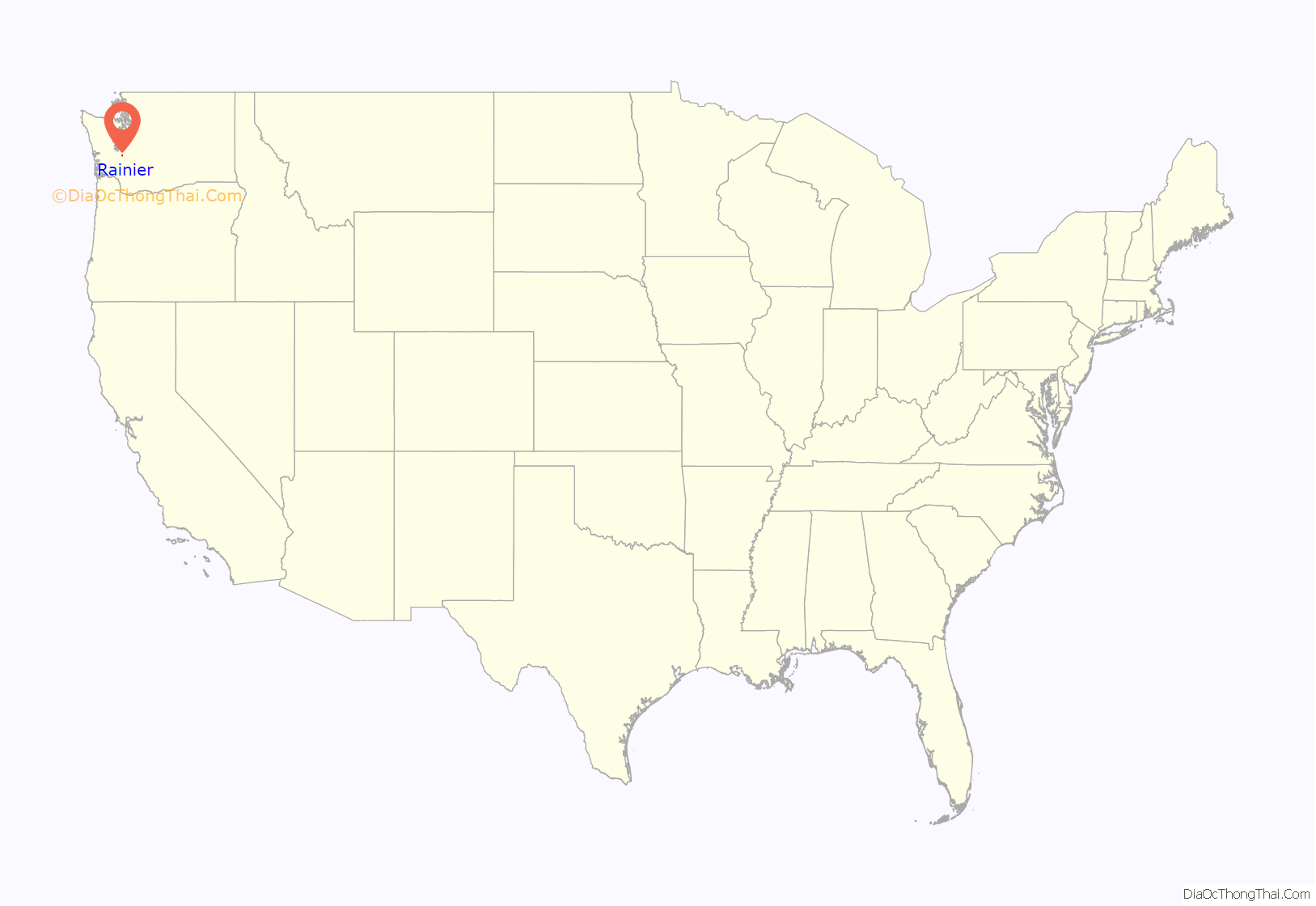
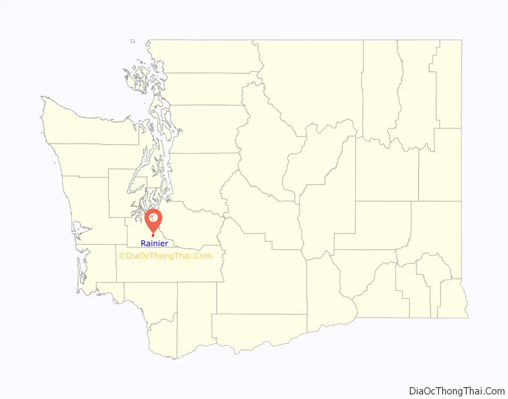
Rainier location map. Where is Rainier city?
History
Rainier began in the 1870s as a stop on the Northern Pacific Railroad line between Kalama, Washington and Tacoma. Situated amidst the ‘ten al quelth’ prairies – Lushootseed for “the best yet” – it was named for its view of Mount Rainier. In 1890, Albert and Maria Gehrke were the first permanent settlers to homestead in Rainier; later that year a store and post office were established by Henry Harmer, who homesteaded with his wife Jessie and children on the Deschutes river near Rainier. Rainier was officially platted in 1891.
In 1896, the community’s first full-time school as well as a Lutheran church were built by Albert Gehrke and his two brothers, Theodore and Paul; the buildings are now state historic landmarks.
In 1906, the Bob White Lumber Company opened, bringing prosperity to the area through logging and sawmilling. Other lumber companies, such as Deschutes, Gruber and Docherty, and Fir Tree, were soon attracted to the area as well. In the late 1920s and early 1930s, several of these mill operations and many of the local buildings were destroyed by a series of fires, leading many residents to seek work at Weyerhaeuser Lumber at nearby Vail, which is now a ghost town.
Rainier’s 1940 population was 500. In 1941, the WPA Guide to Washington described Rainier as “the social center for farmers and loggers of the vicinity, although its closed mills and vacant houses mark it as a ghost lumber town.”
Rainier was officially incorporated on October 23, 1947.
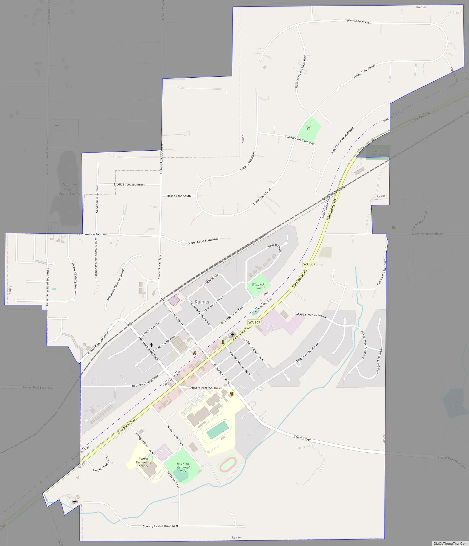
Rainier Road Map
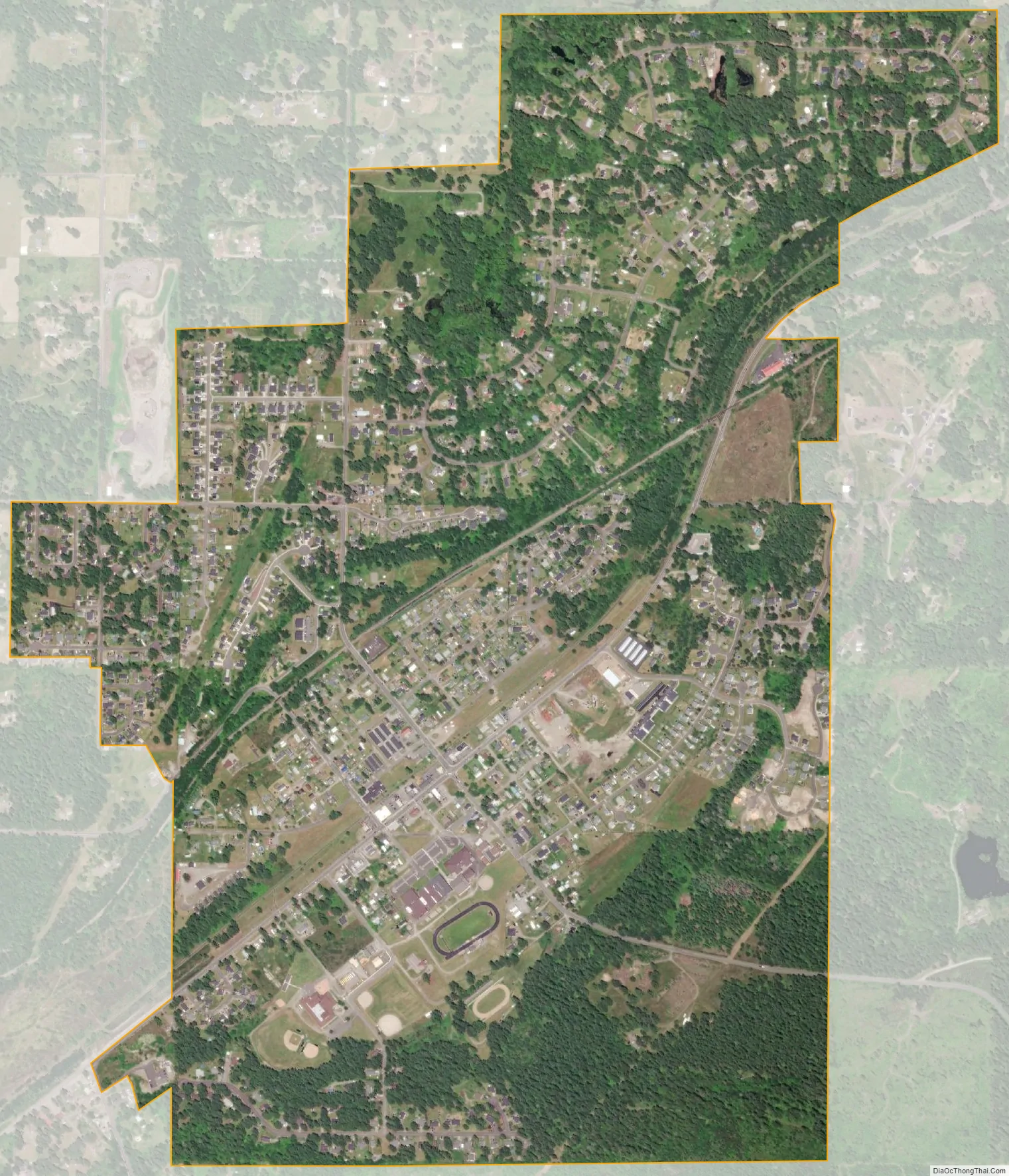
Rainier city Satellite Map
Geography
According to the United States Census Bureau, the city has a total area of 1.73 square miles (4.48 km), all of it land. In terms of land cover, 18% (179 acres) of the city is urban, 27% (267 acres (1.08 km)) is forested, and 55% (540 acres (2.2 km)) is covered with non-forest vegetation and soils.
The climate of Rainier tends to be relatively mild. Although the temperature reached a record high of 104 Fahrenheit in 1981, the average temperature of the hottest month, August, is 77 °F. Similarly, while the record low temperature was -8 °F in 1979, the average temperature of January, the coldest month, is 32 Fahrenheit. With an average of 8.13 inches of rainfall, November is the wettest month. Rainier averages approximately 50 inches of precipitation a year.
See also
Map of Washington State and its subdivision:- Adams
- Asotin
- Benton
- Chelan
- Clallam
- Clark
- Columbia
- Cowlitz
- Douglas
- Ferry
- Franklin
- Garfield
- Grant
- Grays Harbor
- Island
- Jefferson
- King
- Kitsap
- Kittitas
- Klickitat
- Lewis
- Lincoln
- Mason
- Okanogan
- Pacific
- Pend Oreille
- Pierce
- San Juan
- Skagit
- Skamania
- Snohomish
- Spokane
- Stevens
- Thurston
- Wahkiakum
- Walla Walla
- Whatcom
- Whitman
- Yakima
- Alabama
- Alaska
- Arizona
- Arkansas
- California
- Colorado
- Connecticut
- Delaware
- District of Columbia
- Florida
- Georgia
- Hawaii
- Idaho
- Illinois
- Indiana
- Iowa
- Kansas
- Kentucky
- Louisiana
- Maine
- Maryland
- Massachusetts
- Michigan
- Minnesota
- Mississippi
- Missouri
- Montana
- Nebraska
- Nevada
- New Hampshire
- New Jersey
- New Mexico
- New York
- North Carolina
- North Dakota
- Ohio
- Oklahoma
- Oregon
- Pennsylvania
- Rhode Island
- South Carolina
- South Dakota
- Tennessee
- Texas
- Utah
- Vermont
- Virginia
- Washington
- West Virginia
- Wisconsin
- Wyoming