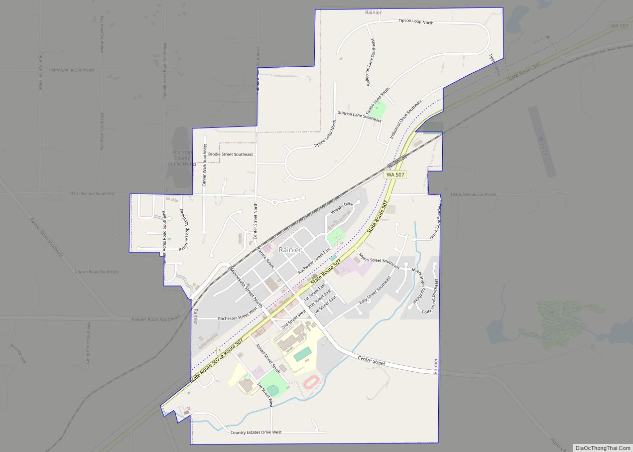
Rochester (/ˈrɒtʃɛstər/) is a census-designated place (CDP) in Thurston County, Washington, United States. It was founded in 1852, and the 2020 census recorded its population at 6,064. According to the United States Census Bureau, the CDP has a total area of 2.3 square miles (6.0 square kilometers), all of it land. Rochester Schools had 2,105 students registered in 2021-22 School Year.
| Name: | Rochester CDP |
|---|---|
| LSAD Code: | 57 |
| LSAD Description: | CDP (suffix) |
| State: | Washington |
| County: | Thurston County |
| Founded: | 1852; 171 years ago (1852) |
| Elevation: | 144 ft (44 m) |
| Total Area: | 2.3 sq mi (6.0 km²) |
| Land Area: | 2.3 sq mi (6.0 km²) |
| Water Area: | 0.0 sq mi (0.0 km²) |
| Total Population: | 6,064 |
| Population Density: | 790.2/sq mi (305.1/km²) |
| ZIP code: | 98579 |
| Area code: | 360 |
| FIPS code: | 5359110 |
| GNISfeature ID: | 1512611 |
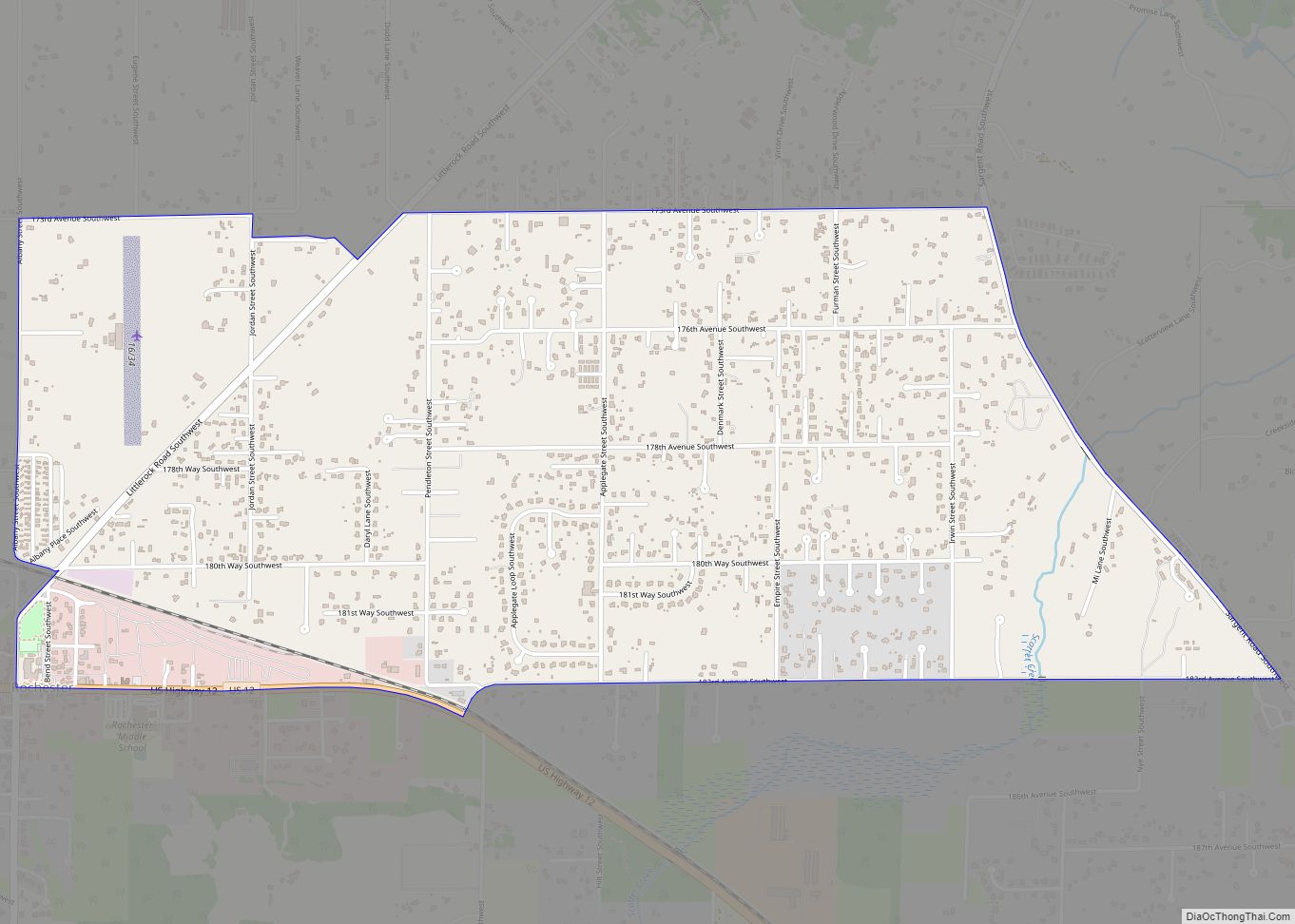
Online Interactive Map
Click on ![]() to view map in "full screen" mode.
to view map in "full screen" mode.
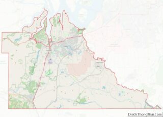
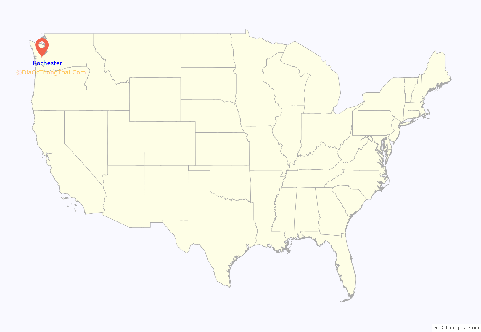
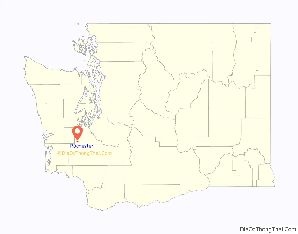
Rochester location map. Where is Rochester CDP?
History
Rochester was platted in 1890, and named after Rochester, Indiana, the native home of a first settler. An early variant name was “Key”.
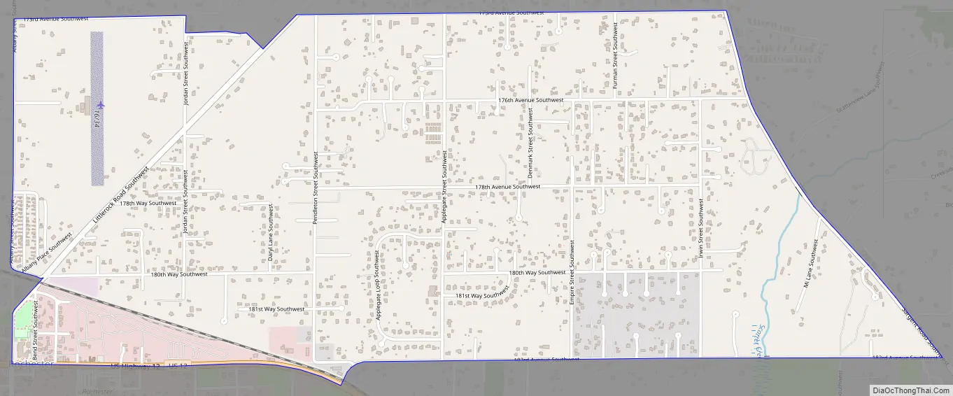
Rochester Road Map
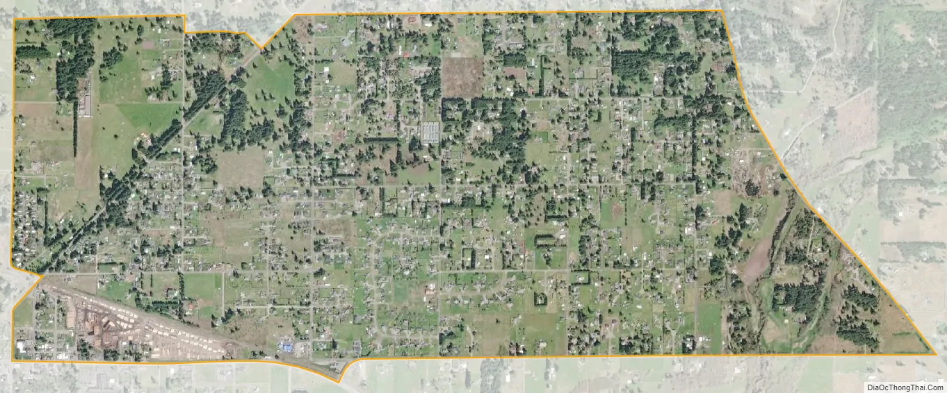
Rochester city Satellite Map
See also
Map of Washington State and its subdivision:- Adams
- Asotin
- Benton
- Chelan
- Clallam
- Clark
- Columbia
- Cowlitz
- Douglas
- Ferry
- Franklin
- Garfield
- Grant
- Grays Harbor
- Island
- Jefferson
- King
- Kitsap
- Kittitas
- Klickitat
- Lewis
- Lincoln
- Mason
- Okanogan
- Pacific
- Pend Oreille
- Pierce
- San Juan
- Skagit
- Skamania
- Snohomish
- Spokane
- Stevens
- Thurston
- Wahkiakum
- Walla Walla
- Whatcom
- Whitman
- Yakima
- Alabama
- Alaska
- Arizona
- Arkansas
- California
- Colorado
- Connecticut
- Delaware
- District of Columbia
- Florida
- Georgia
- Hawaii
- Idaho
- Illinois
- Indiana
- Iowa
- Kansas
- Kentucky
- Louisiana
- Maine
- Maryland
- Massachusetts
- Michigan
- Minnesota
- Mississippi
- Missouri
- Montana
- Nebraska
- Nevada
- New Hampshire
- New Jersey
- New Mexico
- New York
- North Carolina
- North Dakota
- Ohio
- Oklahoma
- Oregon
- Pennsylvania
- Rhode Island
- South Carolina
- South Dakota
- Tennessee
- Texas
- Utah
- Vermont
- Virginia
- Washington
- West Virginia
- Wisconsin
- Wyoming