Ruston is a city in Pierce County, Washington, United States. The population was 1,055 at the 2020 census.
Although it is nearly indistinguishable from the adjacent city of Tacoma, the predominantly residential area still retains its status as a separate municipality long after it ceased to be a company town. The local government opted to reclassify Ruston as a city in late 2012.
| Name: | Ruston town |
|---|---|
| LSAD Code: | 43 |
| LSAD Description: | town (suffix) |
| State: | Washington |
| County: | Pierce County |
| Elevation: | 43 ft (13 m) |
| Total Area: | 0.26 sq mi (0.67 km²) |
| Land Area: | 0.26 sq mi (0.66 km²) |
| Water Area: | 0.00 sq mi (0.01 km²) |
| Total Population: | 1,055 |
| Population Density: | 3,300.78/sq mi (1,276.60/km²) |
| ZIP code: | 98407 |
| Area code: | 253 |
| FIPS code: | 5360510 |
| GNISfeature ID: | 1512629 |
| Website: | rustonwa.org |
Online Interactive Map
Click on ![]() to view map in "full screen" mode.
to view map in "full screen" mode.
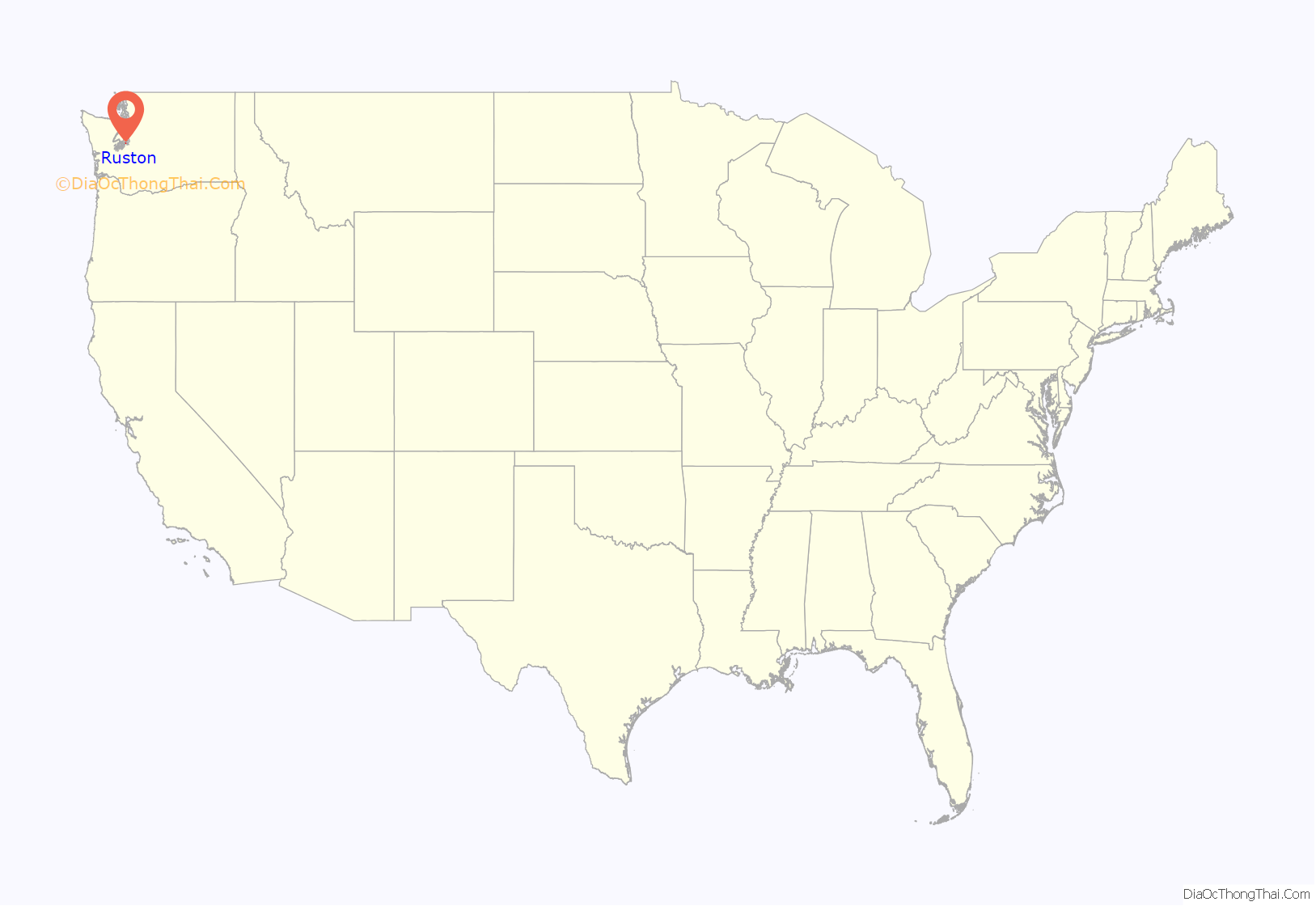
Ruston location map. Where is Ruston town?
History
In 1890 industrialist W.R. Rust established Tacoma Smelting & Refining Company and a company town for his employees, naming the place “Smelter”. On October 22, 1906, residents voted to change the name to Ruston, in honor of Mr. Rust. Ruston was officially incorporated on November 10, 1906. It is surrounded on one side by Commencement Bay and all other sides the city of Tacoma. The primary industry for decades was the ASARCO copper smelting plant on the waterfront. The smelter and its landmark smokestack, however, were demolished in 1993. A massive Superfund cleanup at the site has been underway since the early 1990s. This area has been renamed “Point Ruston”, as a large residential and commercial center on the waterfront is under construction as of 2017, which could add over 1,000 residents to the city.
The Ruston town council passed a measure to become a noncharter code city under Washington law in late 2012. Officials indicated that the “Town of Ruston” moniker will continue to be used, however.
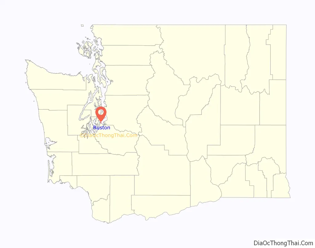
Ruston Road Map
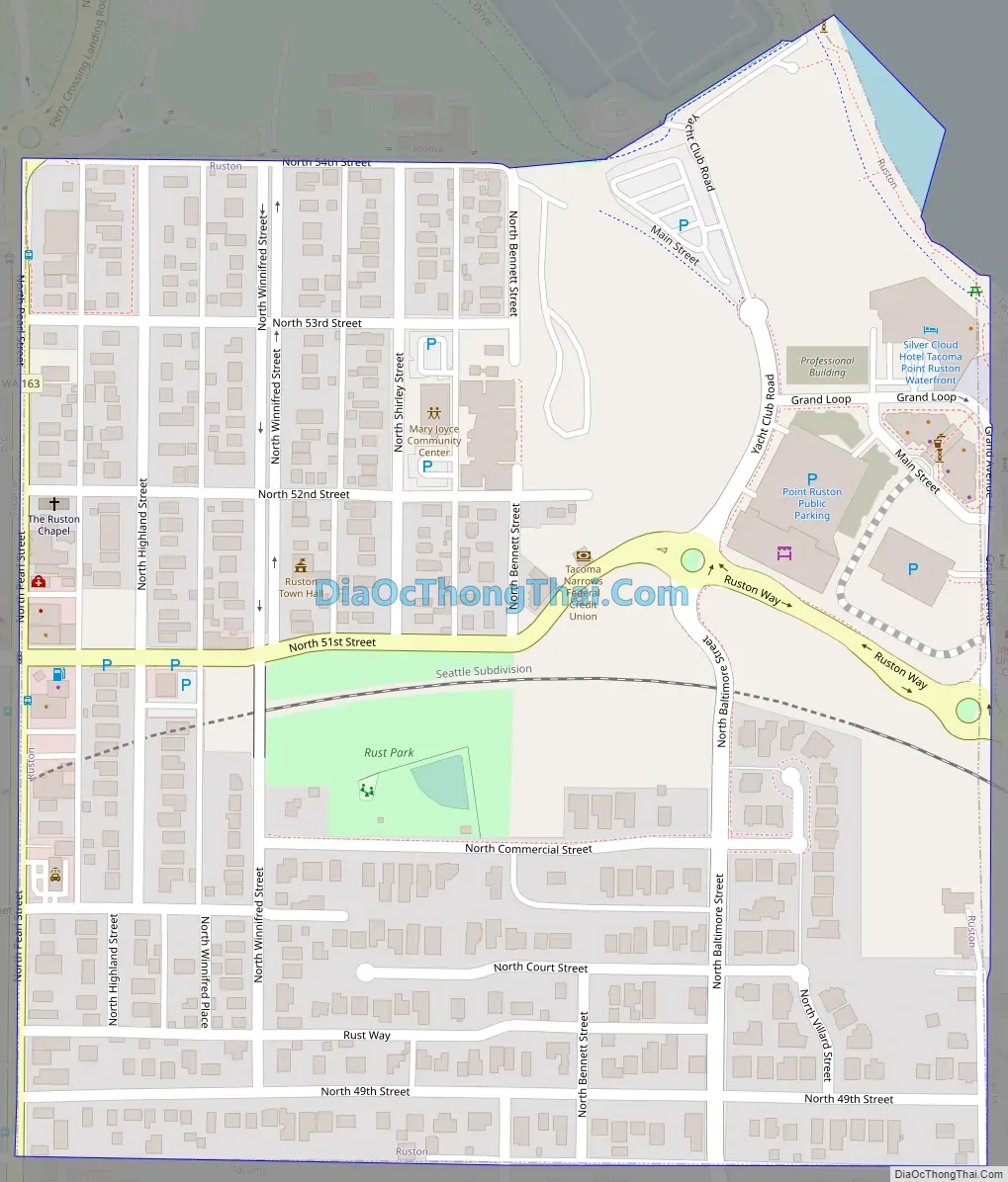
Ruston city Satellite Map

Geography
Ruston is located at 47°17′49″N 122°30′38″W / 47.29694°N 122.51056°W / 47.29694; -122.51056 (47.296906, -122.510513). It is surrounded on three sides by the city of Tacoma. To the north is Puget Sound.
According to the United States Census Bureau, the town has a total area of 0.34 square miles (0.88 km), of which, 0.26 square miles (0.67 km) is land and 0.08 square miles (0.21 km) is water.
See also
Map of Washington State and its subdivision:- Adams
- Asotin
- Benton
- Chelan
- Clallam
- Clark
- Columbia
- Cowlitz
- Douglas
- Ferry
- Franklin
- Garfield
- Grant
- Grays Harbor
- Island
- Jefferson
- King
- Kitsap
- Kittitas
- Klickitat
- Lewis
- Lincoln
- Mason
- Okanogan
- Pacific
- Pend Oreille
- Pierce
- San Juan
- Skagit
- Skamania
- Snohomish
- Spokane
- Stevens
- Thurston
- Wahkiakum
- Walla Walla
- Whatcom
- Whitman
- Yakima
- Alabama
- Alaska
- Arizona
- Arkansas
- California
- Colorado
- Connecticut
- Delaware
- District of Columbia
- Florida
- Georgia
- Hawaii
- Idaho
- Illinois
- Indiana
- Iowa
- Kansas
- Kentucky
- Louisiana
- Maine
- Maryland
- Massachusetts
- Michigan
- Minnesota
- Mississippi
- Missouri
- Montana
- Nebraska
- Nevada
- New Hampshire
- New Jersey
- New Mexico
- New York
- North Carolina
- North Dakota
- Ohio
- Oklahoma
- Oregon
- Pennsylvania
- Rhode Island
- South Carolina
- South Dakota
- Tennessee
- Texas
- Utah
- Vermont
- Virginia
- Washington
- West Virginia
- Wisconsin
- Wyoming


