Sumas (SOO-mas) is a city in Whatcom County, Washington, United States. It had a population of 1,307 as of the 2010 census. Sumas is located adjacent to the Canada–U.S. border and borders the city of Abbotsford, British Columbia. The Sumas-Huntingdon port of entry at the north end of State Route 9 operates 24 hours a day. Sumas shares Nooksack Valley School District with the cities of Nooksack and Everson. It is the northernmost settlement on Washington State Route 9.
| Name: | Sumas city |
|---|---|
| LSAD Code: | 25 |
| LSAD Description: | city (suffix) |
| State: | Washington |
| County: | Whatcom County |
| Elevation: | 43 ft (13 m) |
| Total Area: | 1.47 sq mi (3.81 km²) |
| Land Area: | 1.47 sq mi (3.80 km²) |
| Water Area: | 0.00 sq mi (0.01 km²) |
| Total Population: | 1,307 |
| Population Density: | 1,045.67/sq mi (403.64/km²) |
| ZIP code: | 98295 |
| Area code: | 360 |
| FIPS code: | 5368330 |
| GNISfeature ID: | 1512699 |
Online Interactive Map
Click on ![]() to view map in "full screen" mode.
to view map in "full screen" mode.
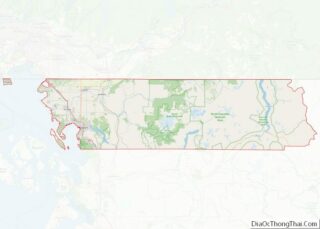
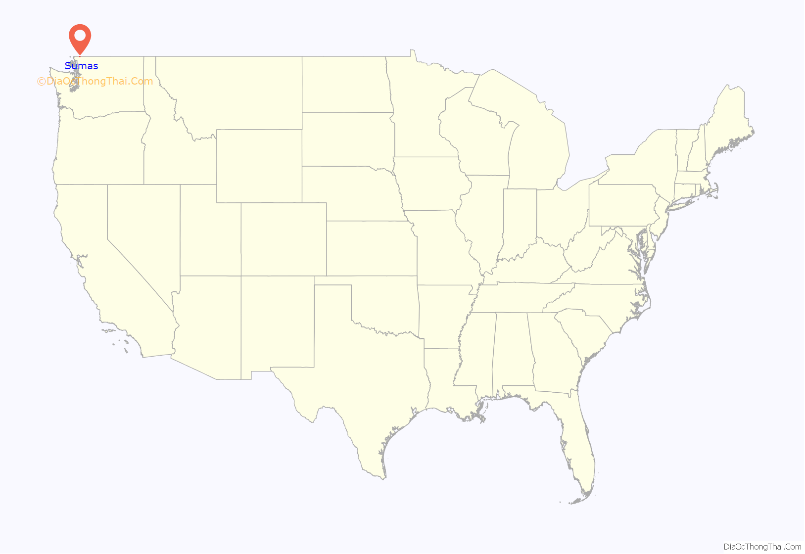
Sumas location map. Where is Sumas city?

History
The area was home to the Nooksack Indians in the millennia prior to the arrival of the first permanent settler Robert Johnson in 1872. It was called “Sumas” meaning “land without trees” or “big flat opening.” It is derived from a Cowichan tribe who also resided in the region.
Originally called “Sumas City,” the town was officially incorporated on June 18, 1891. A post office with that name has been in operation since 1897.
The town was a railroad hub and briefly supported the Mount Baker Gold Rush, with some gold mining operations still ongoing in the area such as at Lone Jack Mine. It as also known for a large rodeo in the early 20th Century, the “Sumas Roundup.”
The area around Sumas drains into the Fraser River in Canada, in a broad floodplain. Floods from the Nooksack and Fraser rivers have been recorded ever since the area was settled. Although not the largest flood to have occurred prior to 1990, the November 10 flood received notoriety as it caused millions of dollars in damage.
On November 15, 2021, another regional flood event resulted in catastrophic flooding in Sumas. Approximately 85 percent of homes in the city were damaged and hundreds of residents were rescued after a partial evacuation.
Sumas Road Map
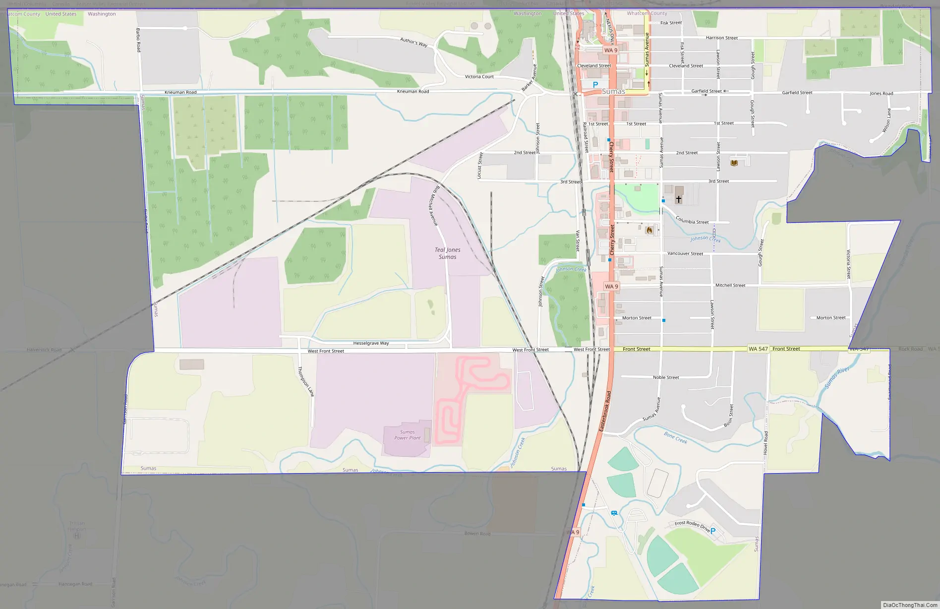
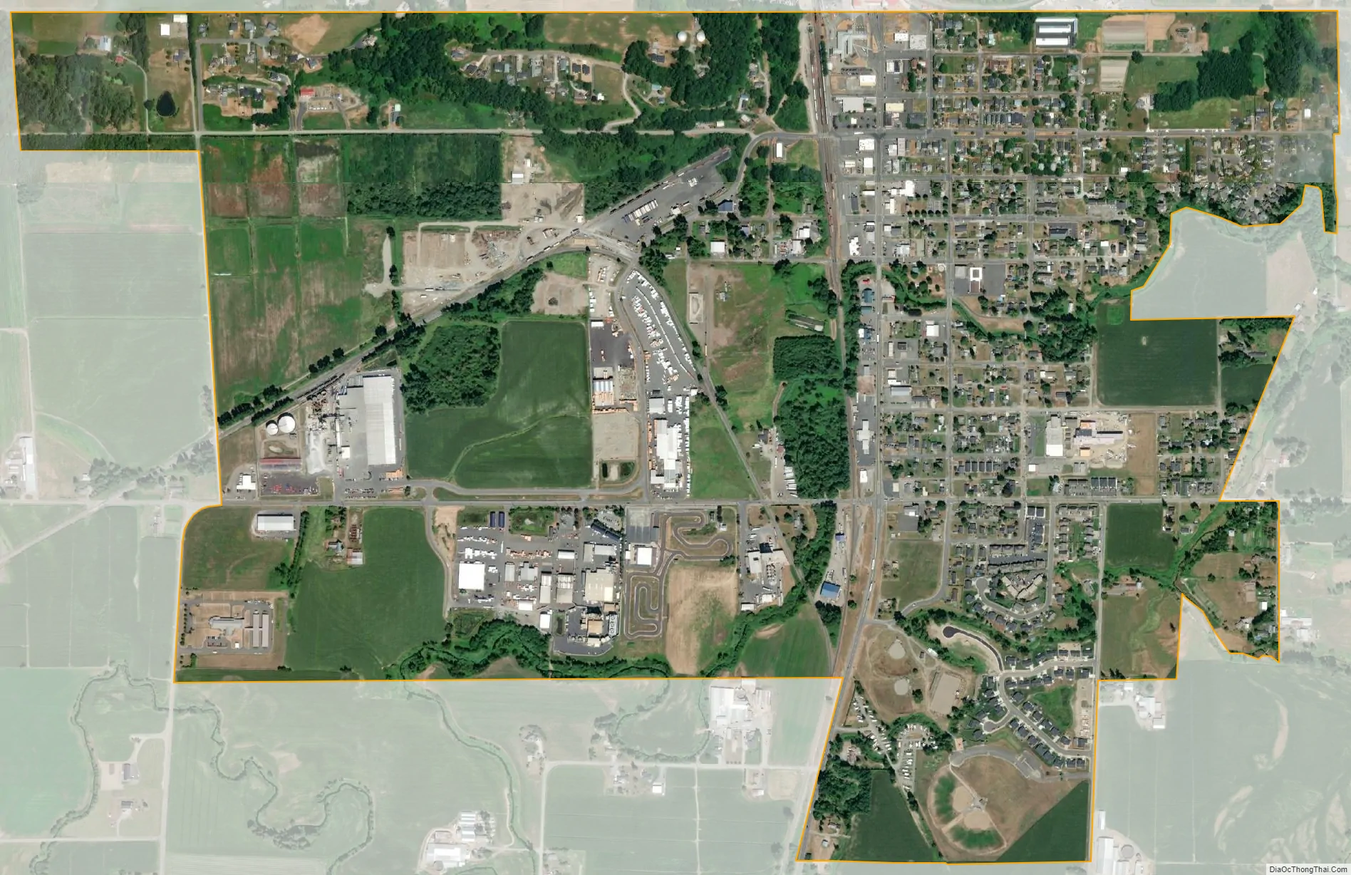
Sumas city Satellite Map
Geography
According to the United States Census Bureau, the city has a total area of 1.48 square miles (3.83 km), all of it land.
Due to a surveying error, part of Sumas lies above the 49th parallel and is thus the northernmost incorporated place in the contiguous United States.
See also
Map of Washington State and its subdivision:- Adams
- Asotin
- Benton
- Chelan
- Clallam
- Clark
- Columbia
- Cowlitz
- Douglas
- Ferry
- Franklin
- Garfield
- Grant
- Grays Harbor
- Island
- Jefferson
- King
- Kitsap
- Kittitas
- Klickitat
- Lewis
- Lincoln
- Mason
- Okanogan
- Pacific
- Pend Oreille
- Pierce
- San Juan
- Skagit
- Skamania
- Snohomish
- Spokane
- Stevens
- Thurston
- Wahkiakum
- Walla Walla
- Whatcom
- Whitman
- Yakima
- Alabama
- Alaska
- Arizona
- Arkansas
- California
- Colorado
- Connecticut
- Delaware
- District of Columbia
- Florida
- Georgia
- Hawaii
- Idaho
- Illinois
- Indiana
- Iowa
- Kansas
- Kentucky
- Louisiana
- Maine
- Maryland
- Massachusetts
- Michigan
- Minnesota
- Mississippi
- Missouri
- Montana
- Nebraska
- Nevada
- New Hampshire
- New Jersey
- New Mexico
- New York
- North Carolina
- North Dakota
- Ohio
- Oklahoma
- Oregon
- Pennsylvania
- Rhode Island
- South Carolina
- South Dakota
- Tennessee
- Texas
- Utah
- Vermont
- Virginia
- Washington
- West Virginia
- Wisconsin
- Wyoming