Tokeland is a census-designated place (CDP) in Pacific County, Washington, United States. The population was 151 at the 2010 census, a sharp decrease from the 194 at the 2000 census.
The town was named after Chief Toke, an Indian chief of the 19th century.
| Name: | Tokeland CDP |
|---|---|
| LSAD Code: | 57 |
| LSAD Description: | CDP (suffix) |
| State: | Washington |
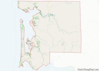
| County: | Pacific County |
| Elevation: | 7 ft (2 m) |
| Total Area: | 0.5 sq mi (1.3 km²) |
| Land Area: | 0.5 sq mi (1.3 km²) |
| Water Area: | 0.0 sq mi (0.0 km²) |
| Total Population: | 151 |
| Population Density: | 379.0/sq mi (146.3/km²) |
| ZIP code: | 98590 |
| Area code: | 360 |
| FIPS code: | 5371680 |
| GNISfeature ID: | 1512729 |
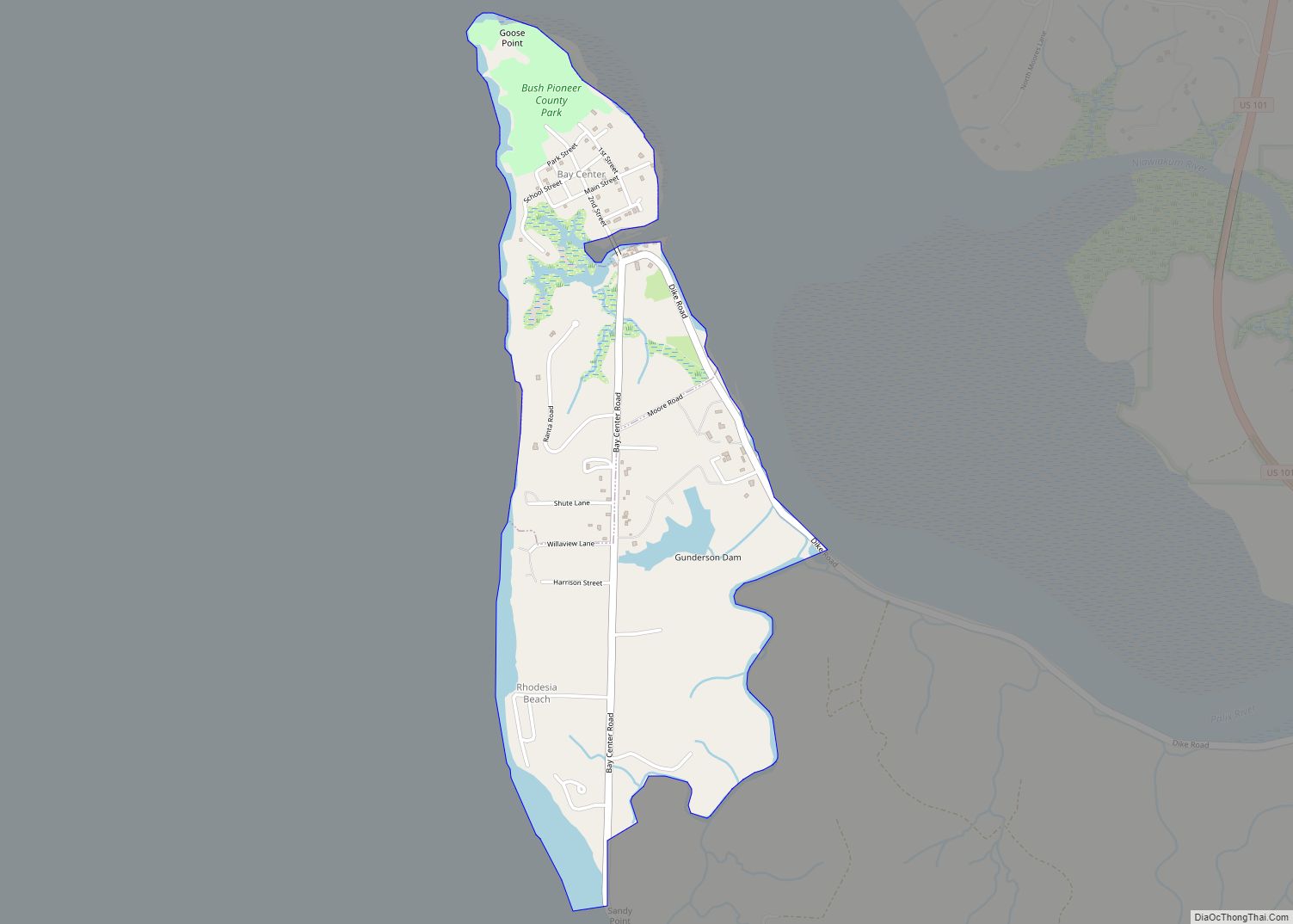
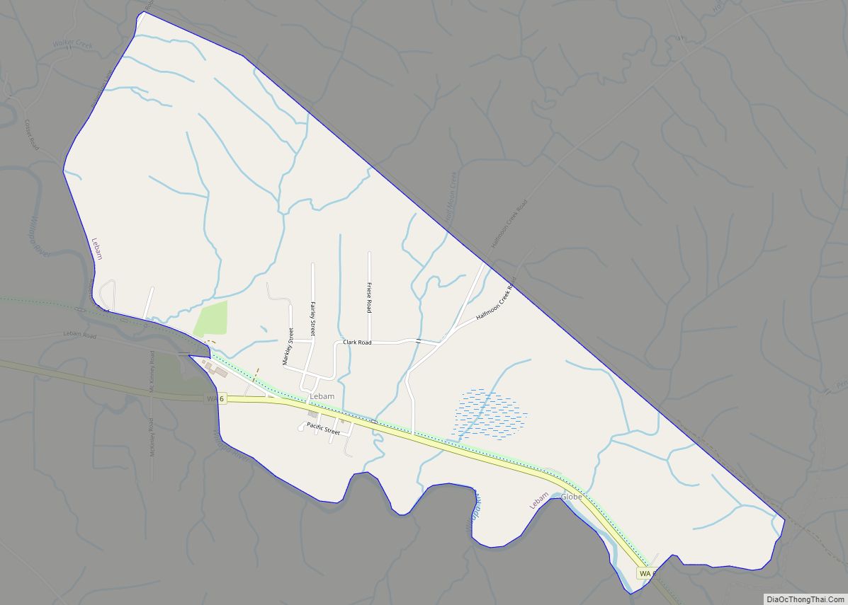
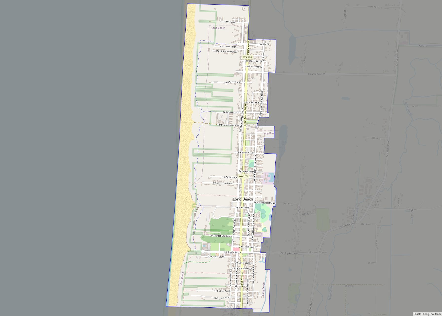
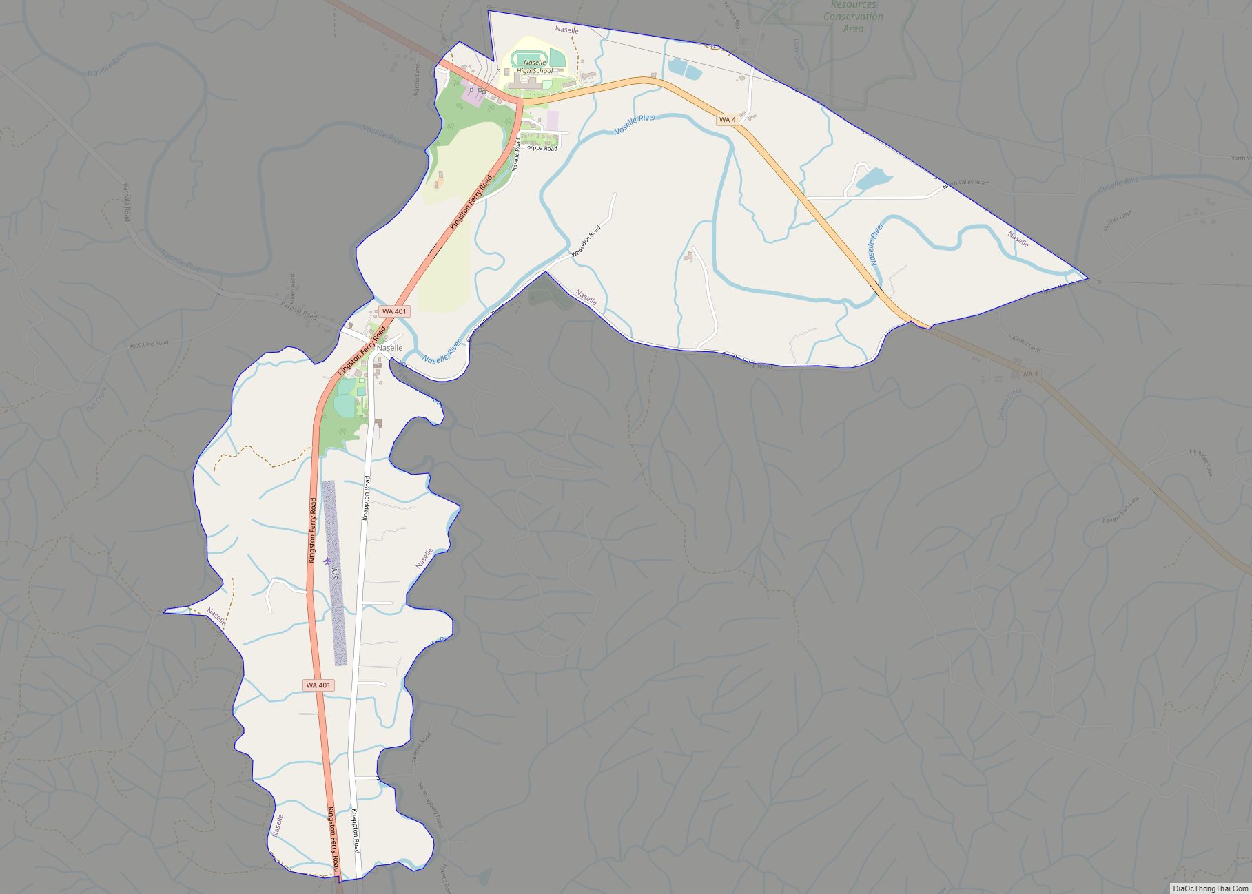
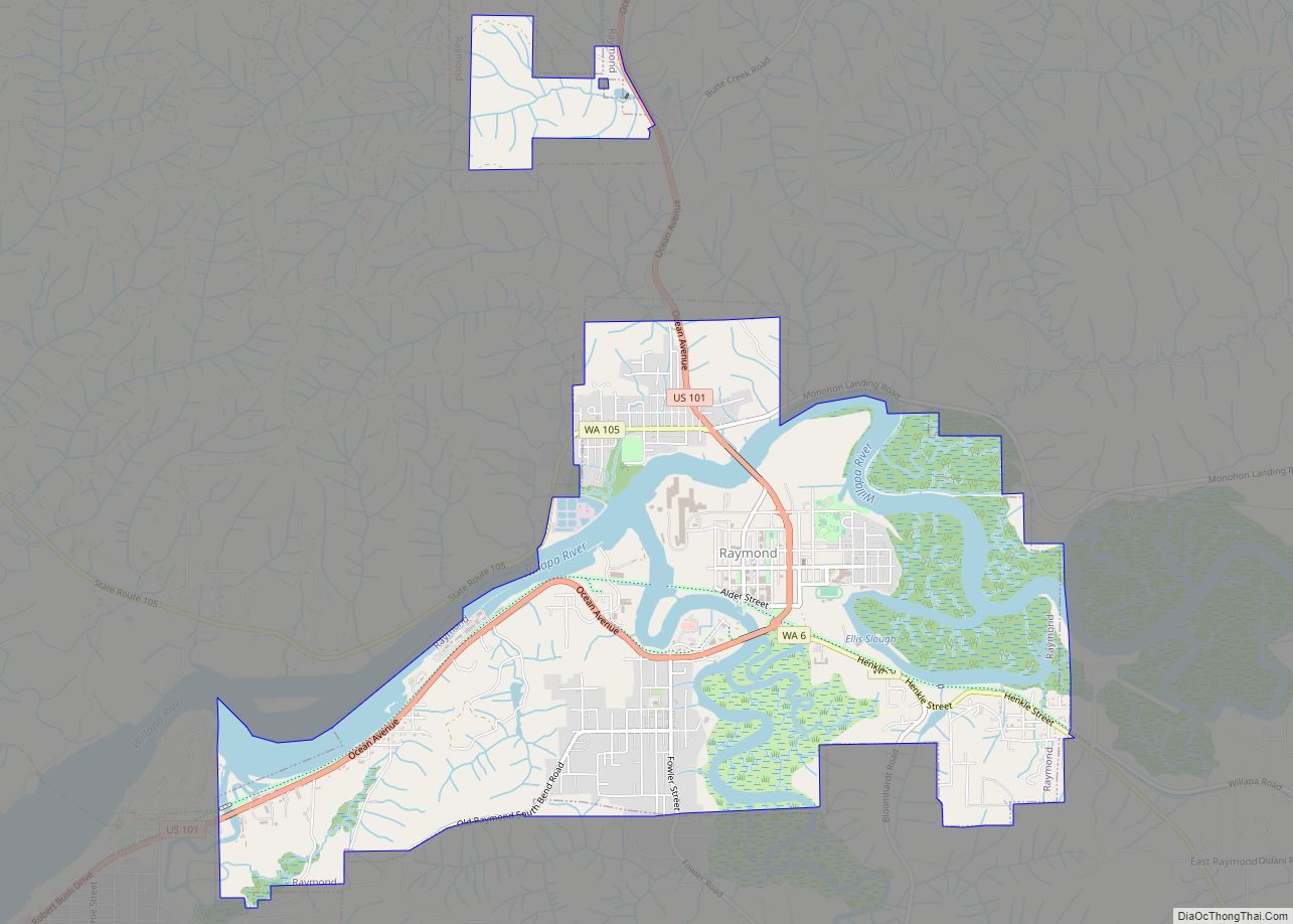
Online Interactive Map
Click on ![]() to view map in "full screen" mode.
to view map in "full screen" mode.
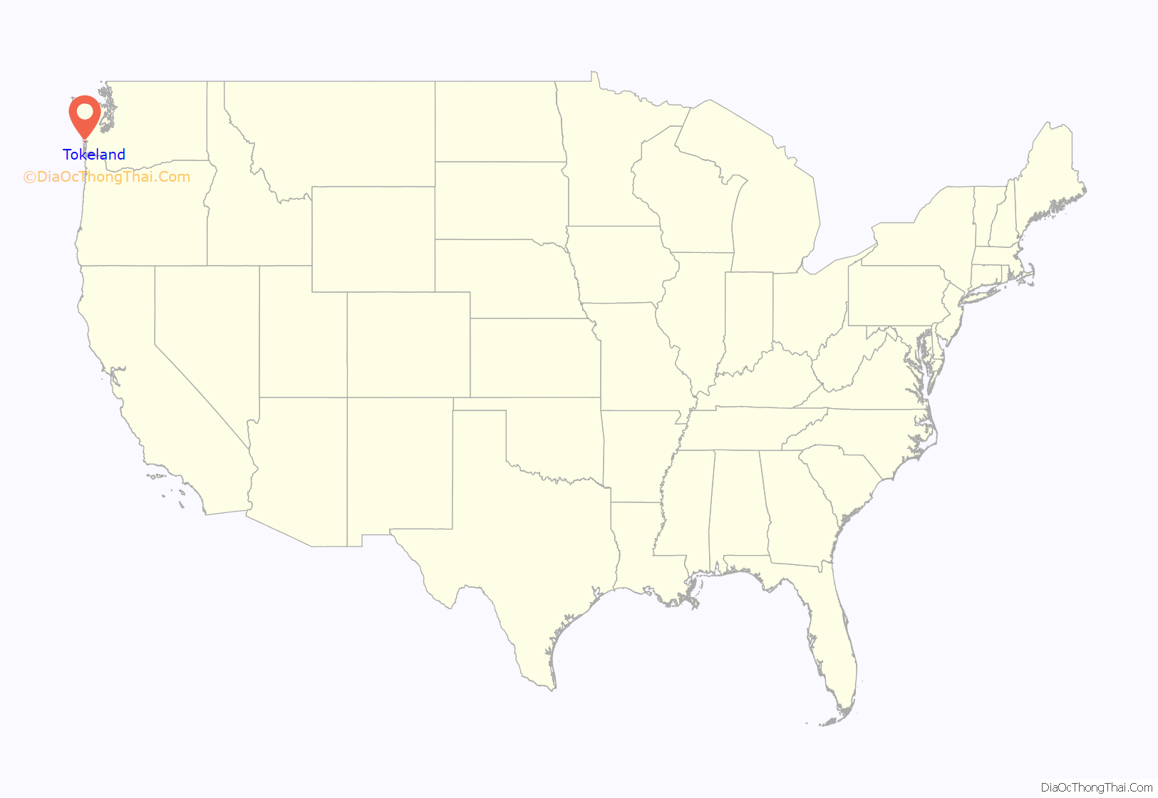
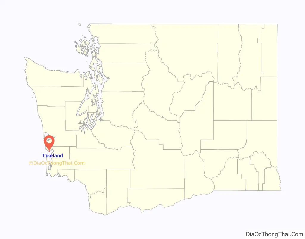
Tokeland location map. Where is Tokeland CDP?
History
Tokeland is named after Chief Toke of the Shoalwater Bay Tribe. Toke made the area a summer home for himself and his family, and his presence was first documented there by Lieutenant John Meares after Toke approached Meares’ ship in his canoe at the mouth of Willapa Bay in 1788.
In 1854, J. F. Barrows settled on Toke Point, but left only a few years later. No other known settlers appeared in the area until the arrival of George Brown in 1858. In 1885, Brown’s daughter Lizzie, and her husband, William Kindred, built the Kindred Inn, which still stands as the current-day Tokeland Hotel. When the town’s first post office was established in 1894, the Kindreds operated it, and continued doing so for 17 years. Lizzie Kindred was also partial owner of the Tokeland Oyster Company when it opened in 1905.
Tokeland became a popular enough destination that in 1910, a group of investors from Portland, Oregon sought to develop an amusement park there that would resemble Coney Island, although these plans never materialized.
Similarly to North Cove and other towns on the north side of Willapa Bay, coastal erosion became a serious concern for Tokeland. This, combined with the overall economic pressure affecting the nation during The Great Depression, caused a decline in the area’s tourism industry in the 1930s and 1940s. The area’s economy received a small boost starting in the 1950s, as recreational boating and fishing, combined with a surge in once-dwindling oyster harvests, rekindled many businesses. This led to the Port of Willapa Harbor making many improvements to Tokeland, including the 1974 addition of a new jetty, moorage, boat ramp, timber seawall, and fish buying station.
Tsunami evacuation tower
The Shoalwater Bay Indian Tribe built a 50-foot tall (15 m) tsunami evacuation tower in 2022. The freestanding structure was built at a cost $5 million, $1.2 million supplied by the tribal council and an additional $3.8 million from the Federal Emergency Management Agency (FEMA). The tower is considered the first of its type in the United States. In honor of a tribal elder who guided the project to completion, the council bestowed the tower the nickname, “Auntie Lee”.
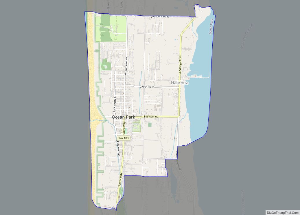
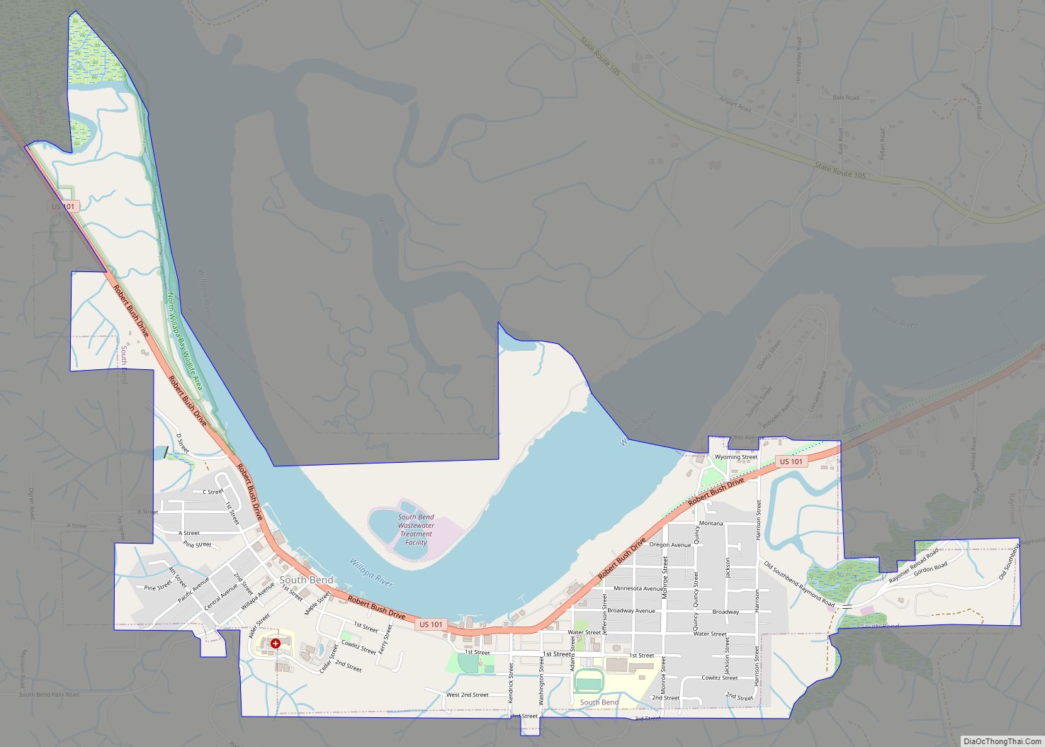
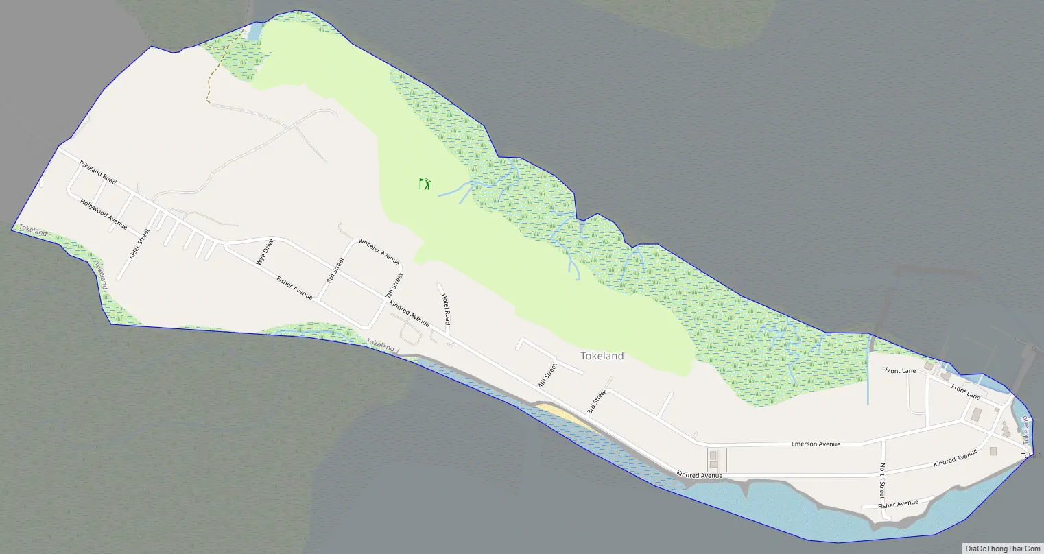
Tokeland Road Map
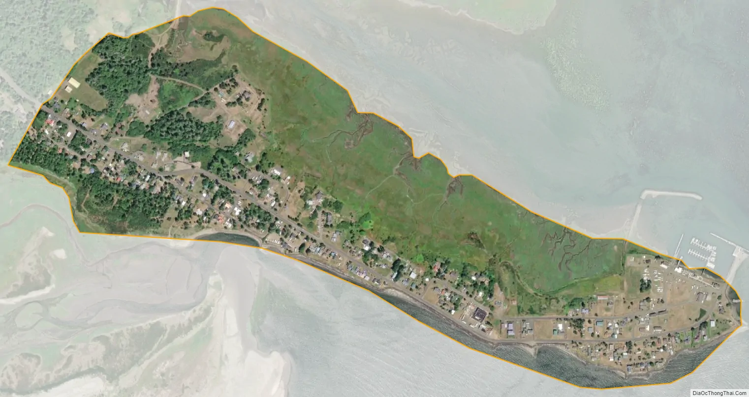
Tokeland city Satellite Map
Geography
Tokeland is located in Willapa Bay, by the mouth of the Cedar River. According to the United States Census Bureau, the CDP has a total area of 0.5 square miles (1.3 km), all of it land.
Tsunami and inland flooding
During early talks to build a tsunami evacuation tower, studies were undertaken by the Shoalwater Bay Indian Tribe, in conjunction with several local, state, and federal agencies, that determined the Tokeland area could be hit by a tsunami 10-foot tall (3.0 m) within a range of 10 to 22 minutes after an ensuing high-magnitude earthquake.
See also
Map of Washington State and its subdivision:- Adams
- Asotin
- Benton
- Chelan
- Clallam
- Clark
- Columbia
- Cowlitz
- Douglas
- Ferry
- Franklin
- Garfield
- Grant
- Grays Harbor
- Island
- Jefferson
- King
- Kitsap
- Kittitas
- Klickitat
- Lewis
- Lincoln
- Mason
- Okanogan
- Pacific
- Pend Oreille
- Pierce
- San Juan
- Skagit
- Skamania
- Snohomish
- Spokane
- Stevens
- Thurston
- Wahkiakum
- Walla Walla
- Whatcom
- Whitman
- Yakima
- Alabama
- Alaska
- Arizona
- Arkansas
- California
- Colorado
- Connecticut
- Delaware
- District of Columbia
- Florida
- Georgia
- Hawaii
- Idaho
- Illinois
- Indiana
- Iowa
- Kansas
- Kentucky
- Louisiana
- Maine
- Maryland
- Massachusetts
- Michigan
- Minnesota
- Mississippi
- Missouri
- Montana
- Nebraska
- Nevada
- New Hampshire
- New Jersey
- New Mexico
- New York
- North Carolina
- North Dakota
- Ohio
- Oklahoma
- Oregon
- Pennsylvania
- Rhode Island
- South Carolina
- South Dakota
- Tennessee
- Texas
- Utah
- Vermont
- Virginia
- Washington
- West Virginia
- Wisconsin
- Wyoming